
Opening hours:Open today
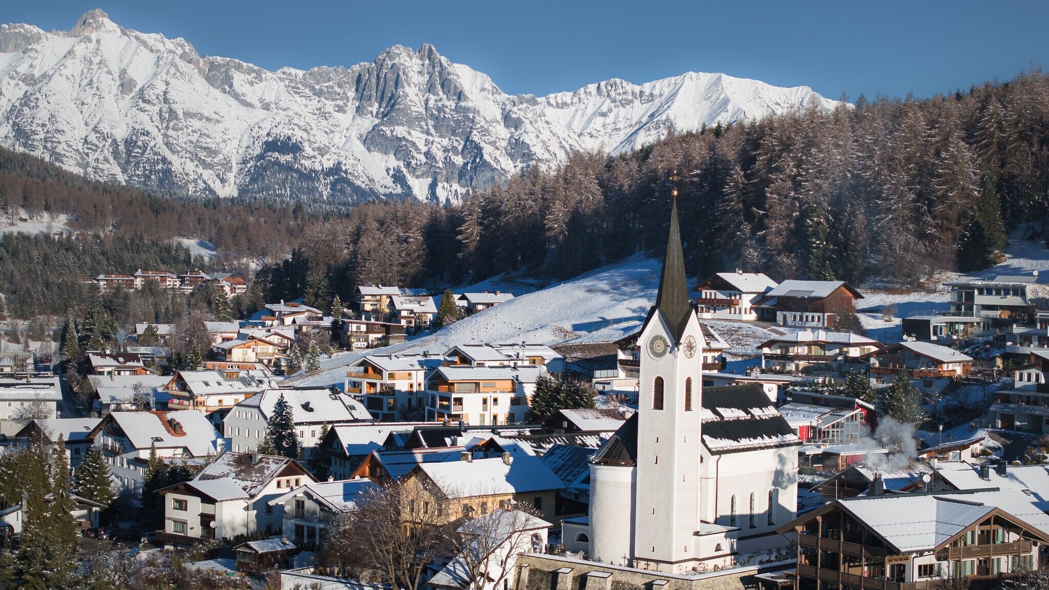
Place:Reith bei Seefeld
:Snack bar / StreetFood
Romantic round through the woods to Seefeld and over the snowy Auland back to Reith.
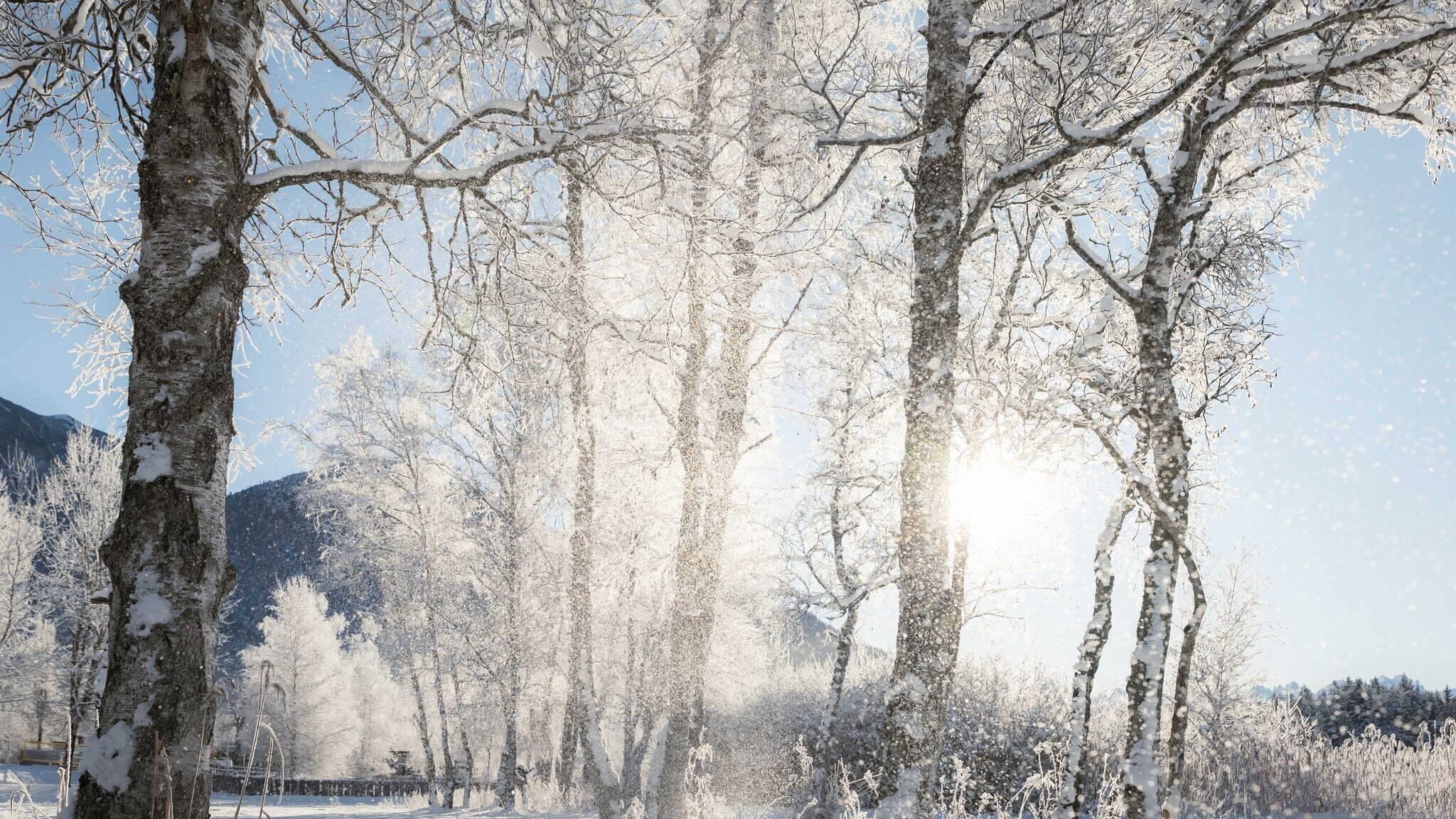
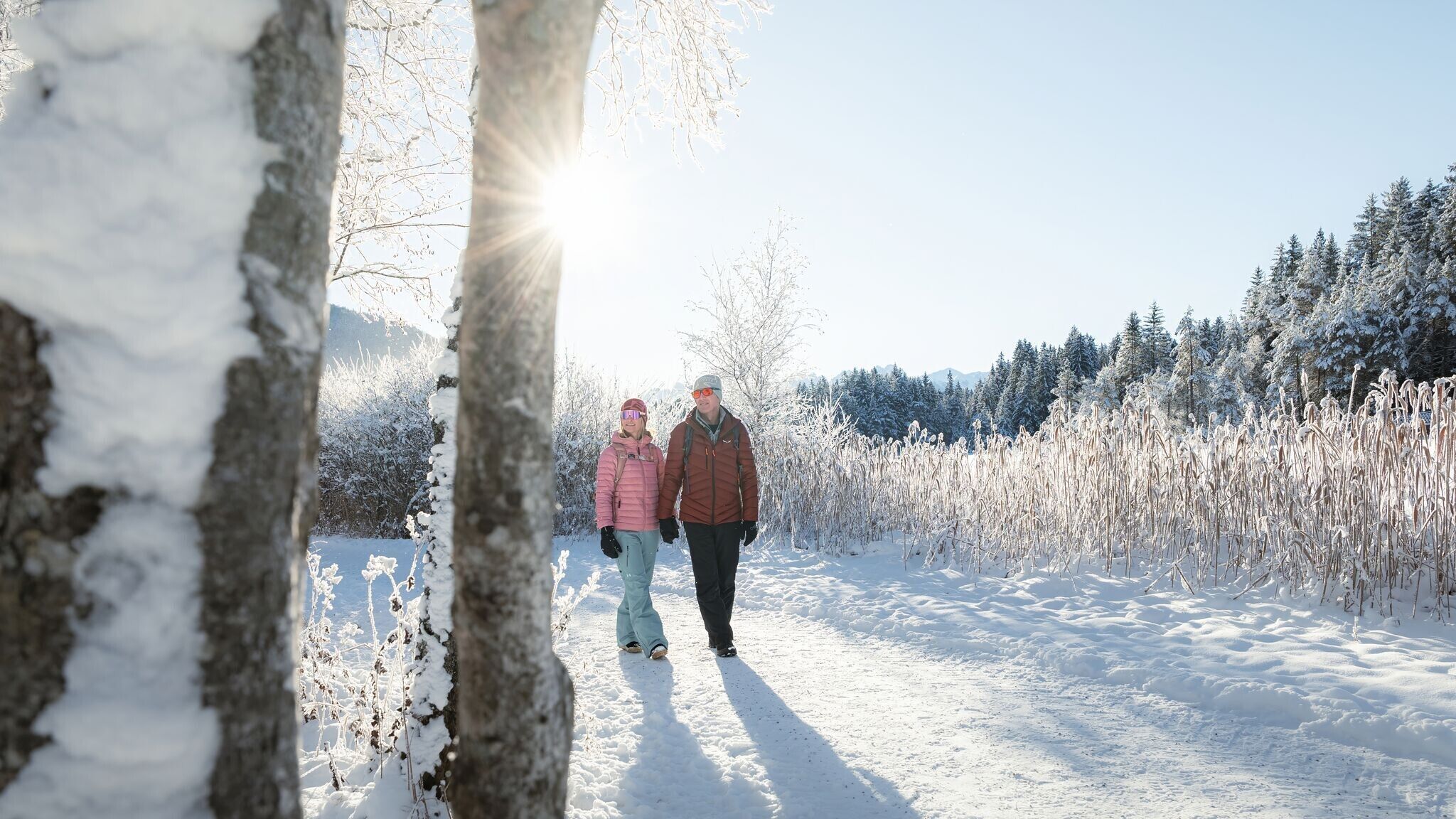
Cleared winter hiking trail.
Find all the latest information about the status of winter hiking trails, toboggan runs and ice skating rinks in our Winter Sports Report for the Region Seefeld.
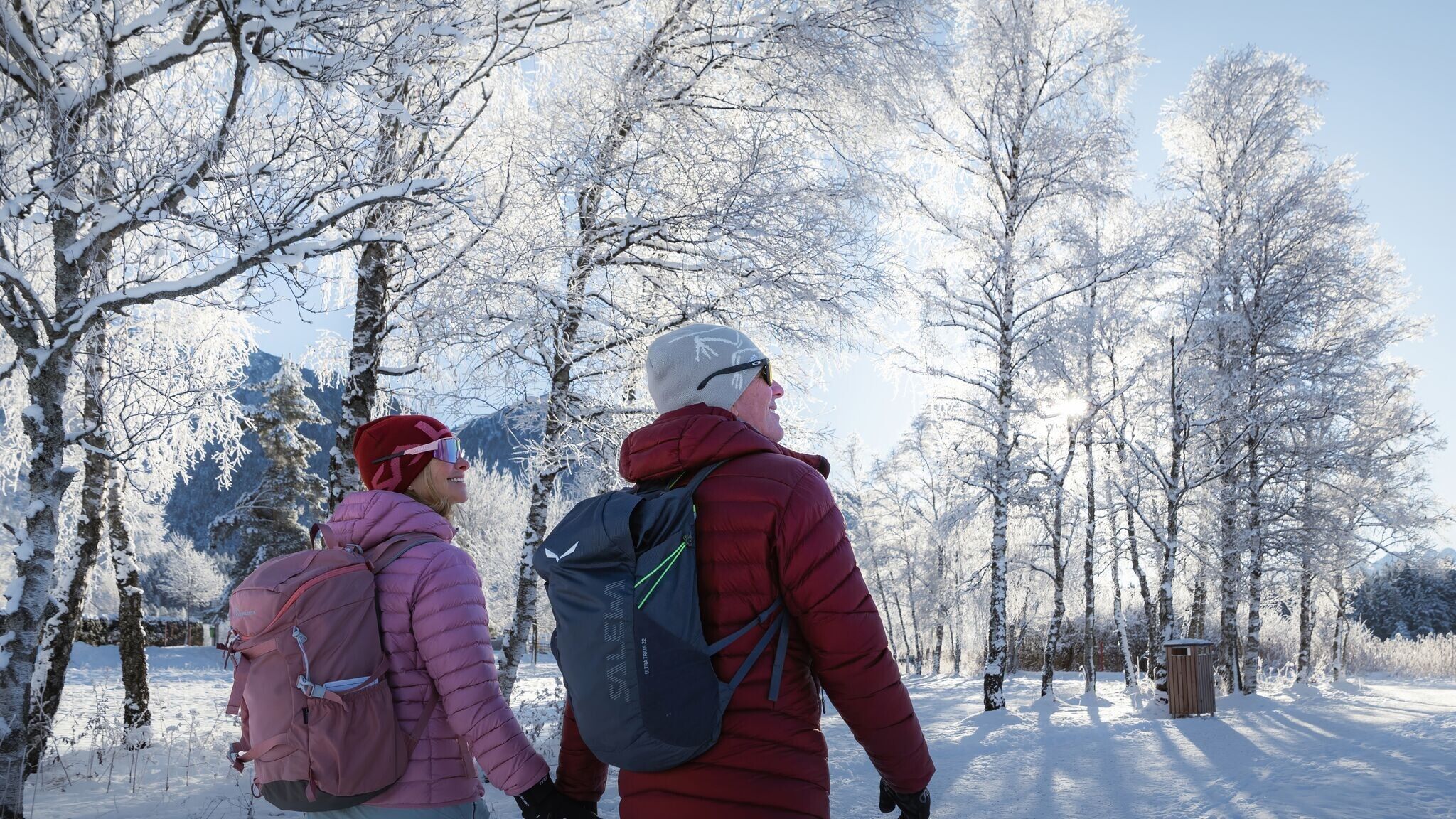
Wear multiple layers, warm gloves, hat, waterproof jacket and pants, as well as waterproof winter hiking boots.
For better support and comfort, poles and crampons (spikes) are helpful, especially in difficult conditions.
This is a cleared winter hiking trail. However, icy or slippery spots may still occur.
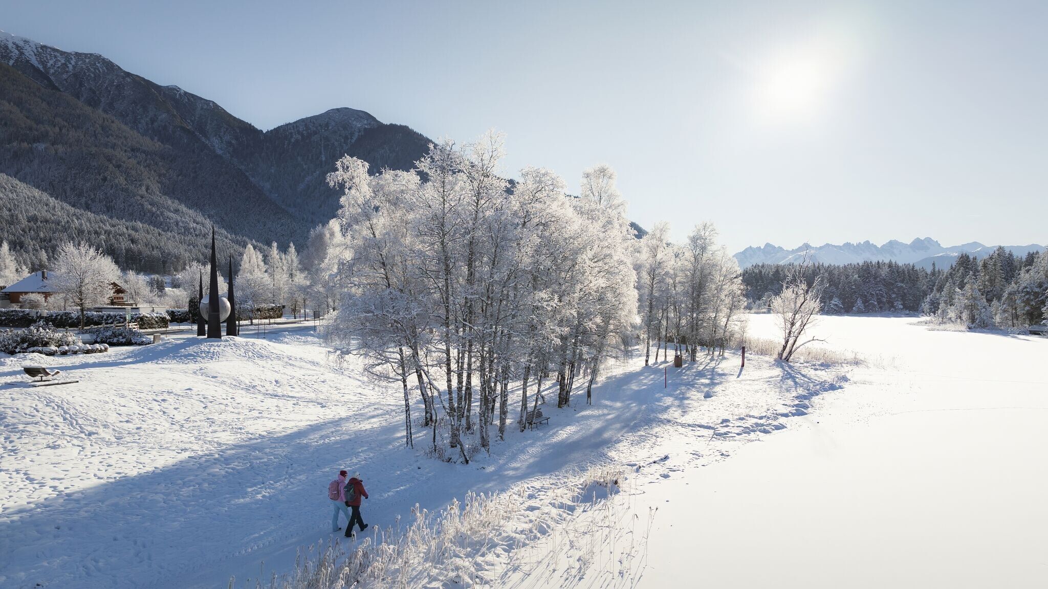
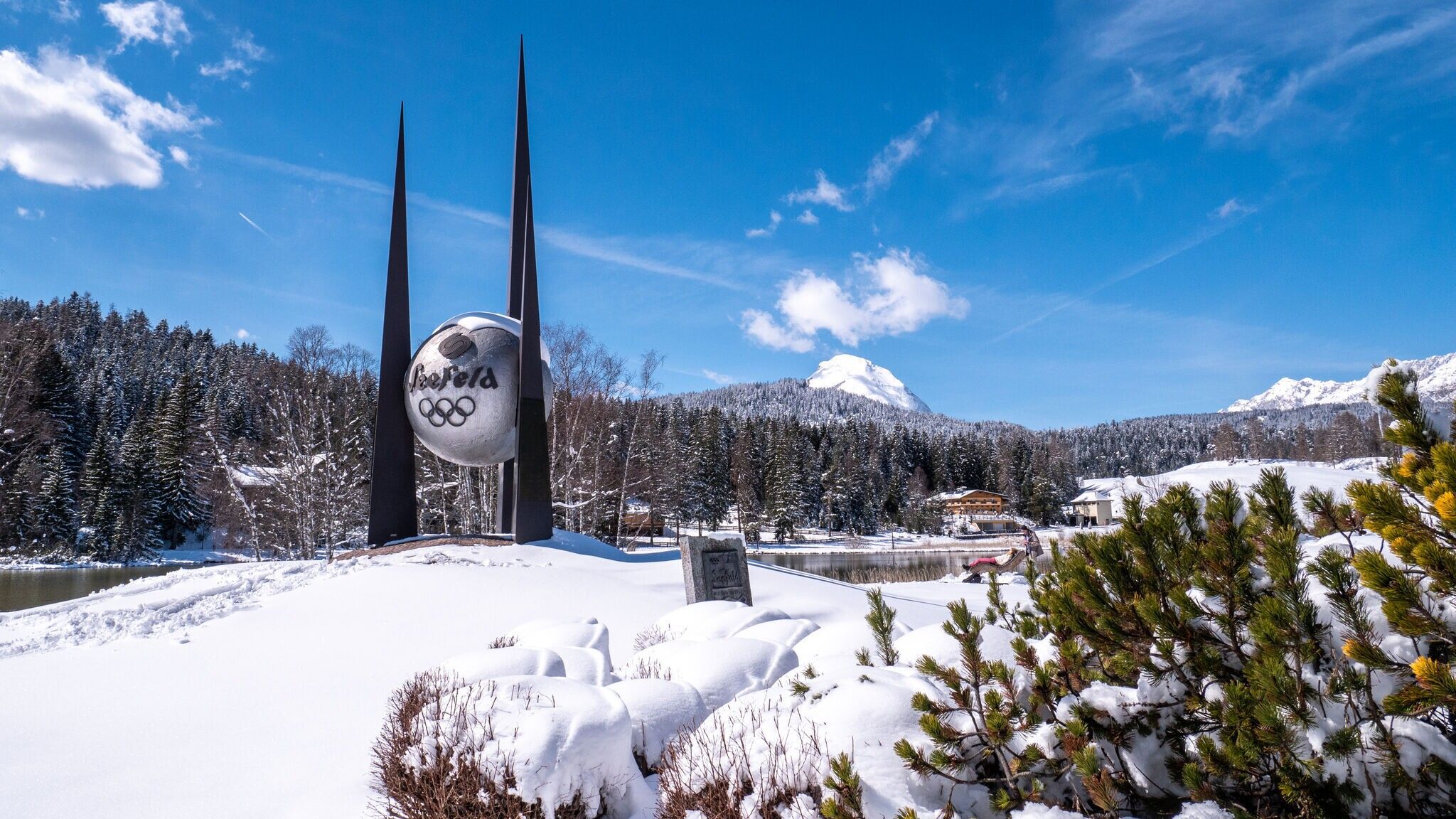
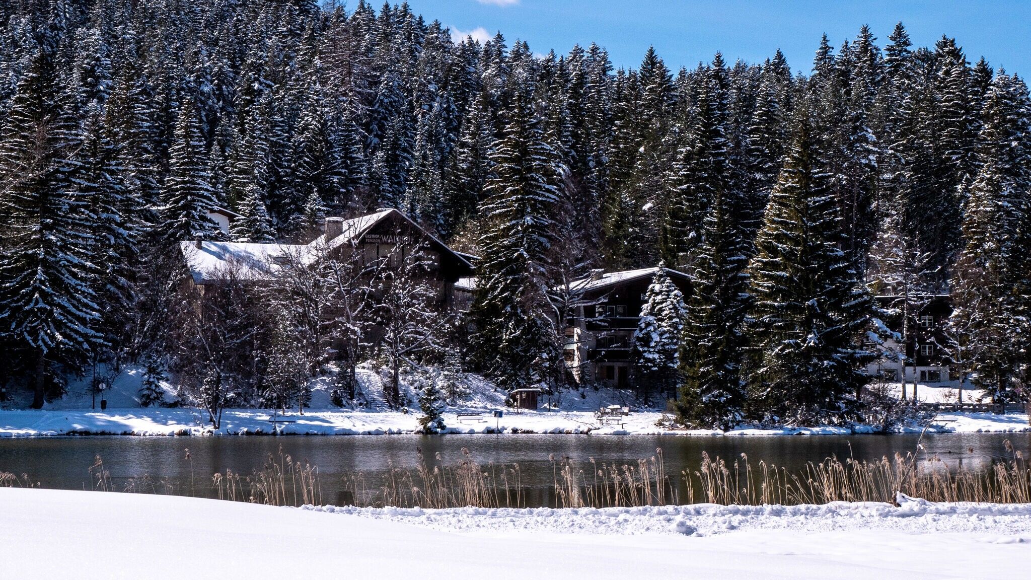
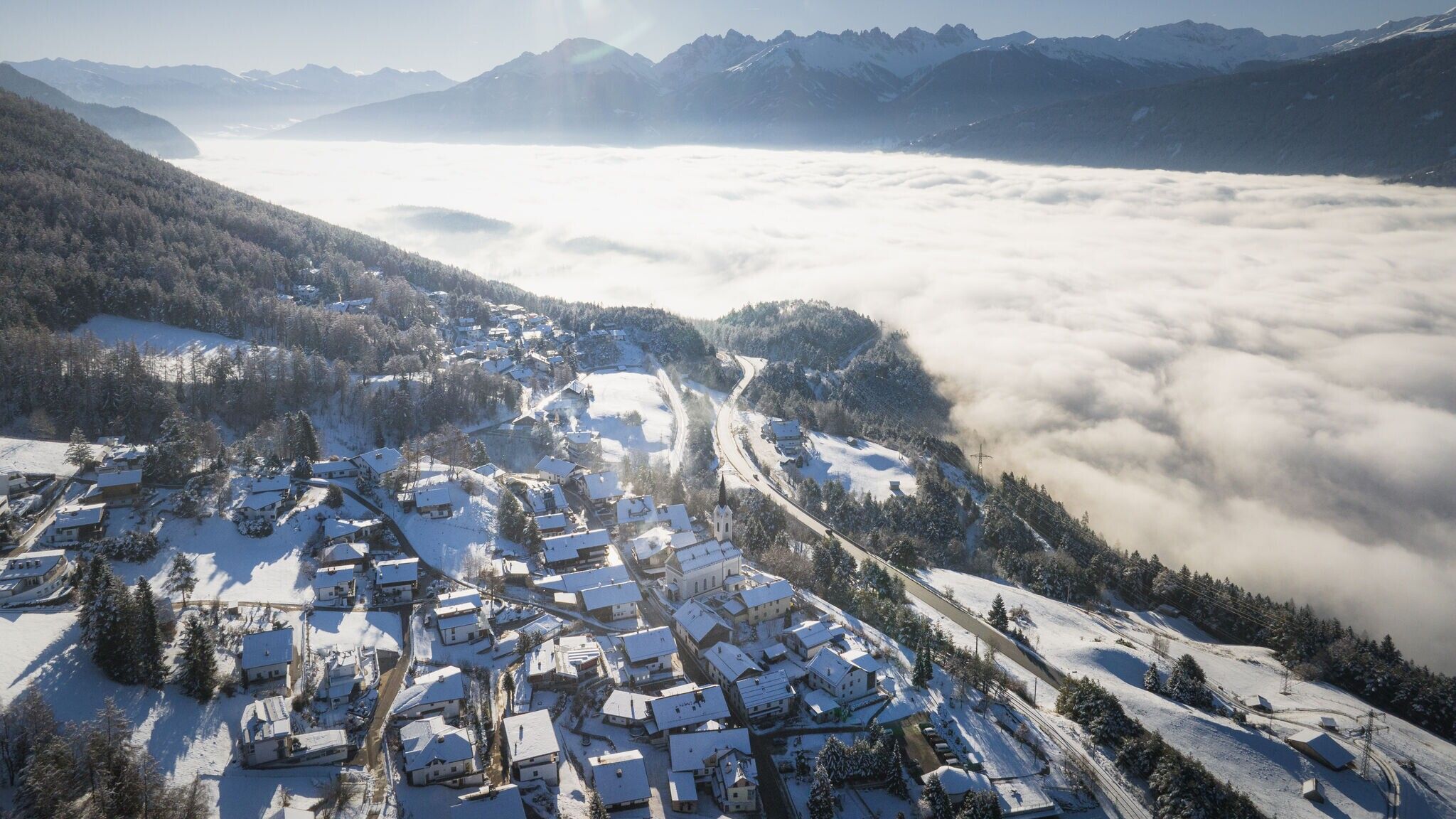
This winter hike starts in the small village of Reith, taking you along the Bee Nature Trail to Seefeld, then through the Reither Auland and around the Wildsee, bringing you back to the starting point.
The route begins directly at Reith Railway Station. From here, follow the snow-covered Reither Waldweg, passing along Römerweg, Kreuzweg, and Lobaweg streets. Shortly after the Bee Nature Trail, the trail crosses the main road and continues along the small lake on Lobaweg to Seefeld. Upon arriving in Seefeld, turn left onto Reitherspitzstraße and head towards the Wildsee. If you like, you can take a small detour through Seefeld's Pedestrian Zone.
The hike continues along the Wildsee promenade, passing by the meadows (Auländer Mähder) at the forest's edge and through the peaceful Reither Auland. A short section of the path goes along the Liftweg before turning left onto Gstoaweg and Möslweg, leading back to the starting point in Reith.
Take the public transport to Reith Railway Station.
All real-time connections can be found in the route planner.


 Mirja Geh (26).jpg")


.jpg")
.jpg")


 TVB Kitzbüheler Alpen-Brixental (7).jpg")

.jpg")


