
Opening hours:Today closed
Place:
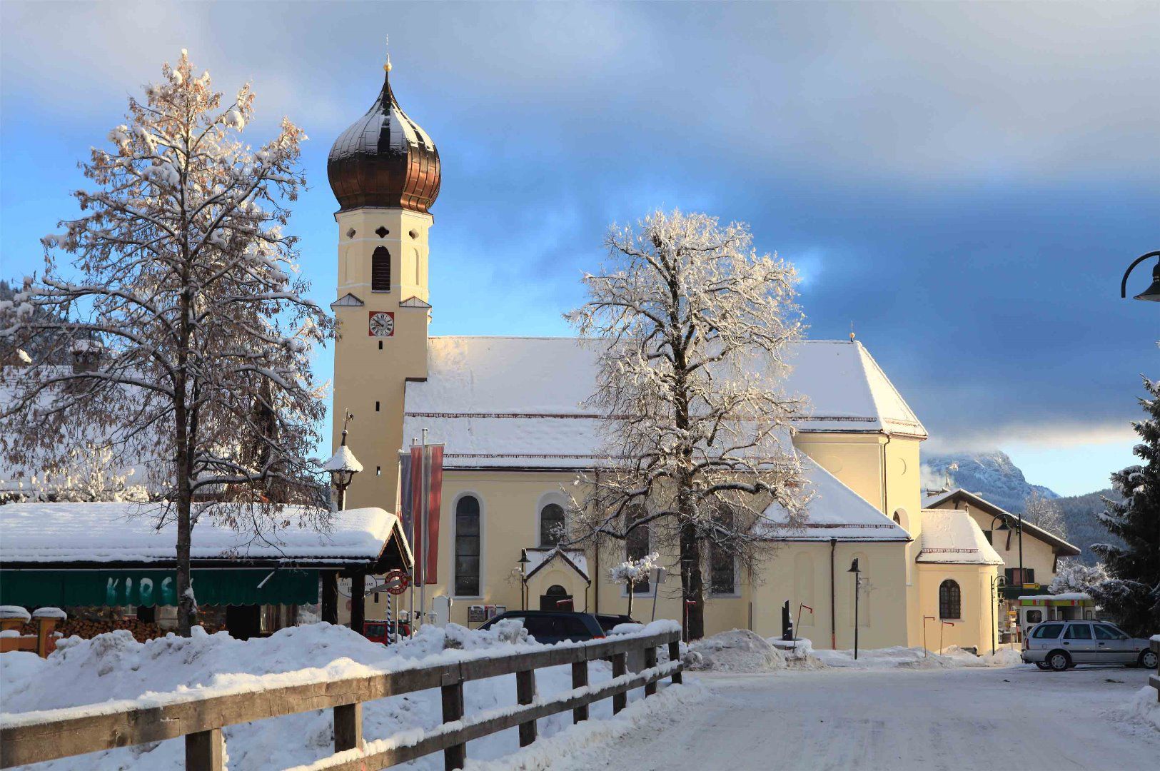
Weißenbach am Lech
:
Restaurant
Circular hike over the extensive fields in Weißenbach
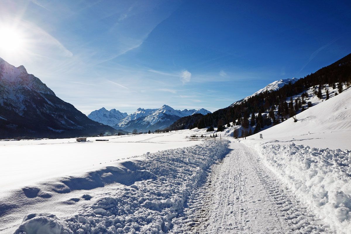
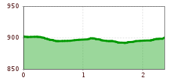
The hike start at the ski lift car park in Weißenbach. At the foot of the Moosberg, the hiking trail runs around the equally extensive and idyllic fields near Weißenbach.
Take the regional bus 110 to the stop "Weissenbach a.L. Kreuz". The timetable and stops can be found at www.vvt.at.
Parking lot Weißenbach skiing arena


