Winter hike Winter hiking trail Bichl - Hinterbichl

closed
Prägraten am Großvenediger / Venedigergruppe
Difficulty ratings: easy
Route length: 3.5 km
Duration: 1:30 h

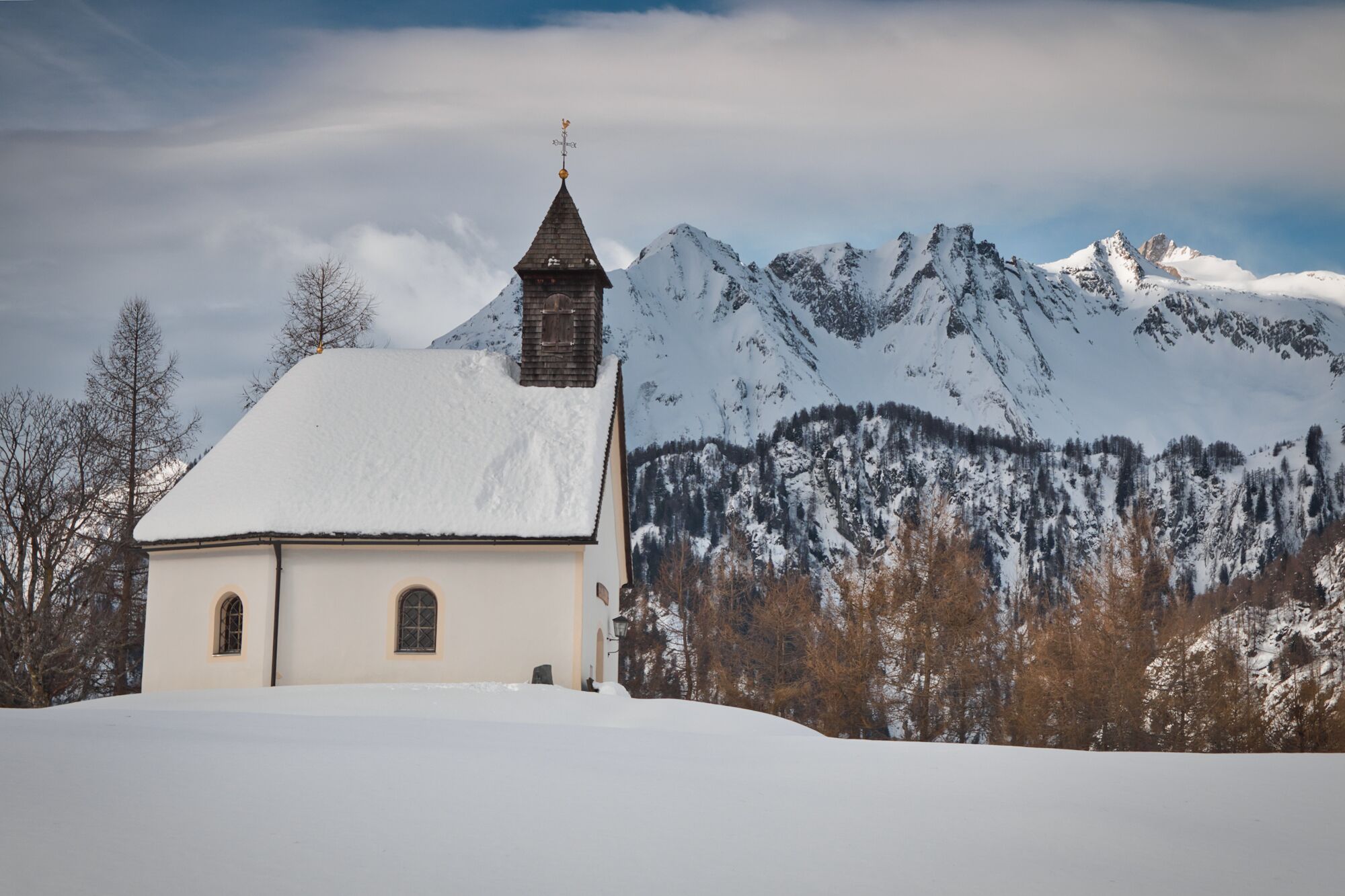
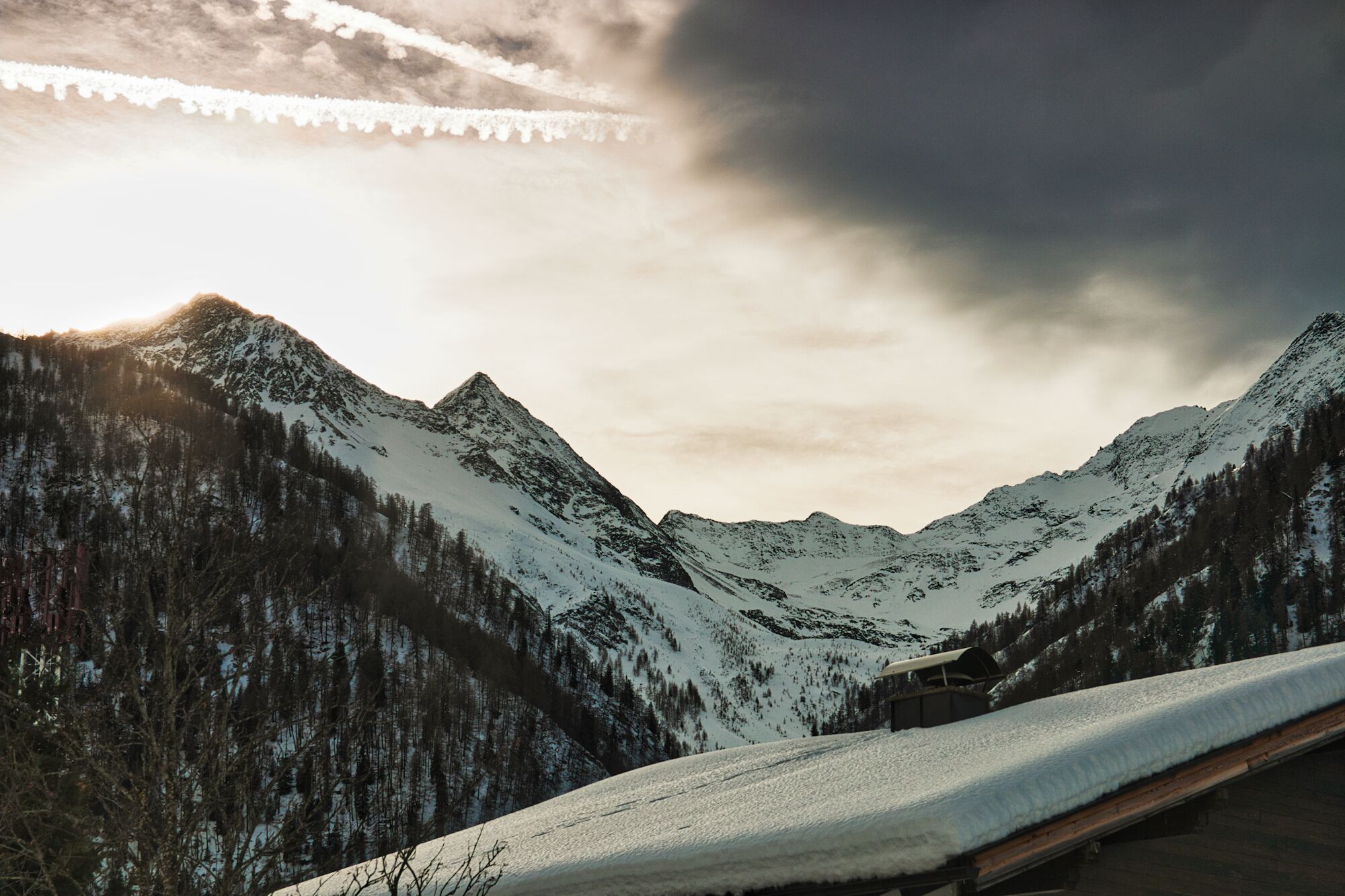
A winter hiking trail with a magnificent view.

Tour information

  • Requirement: easy
  • Length: 3.5 km
  • Duration: 1:30 h
  • Elevation uphill:161 hm
  • Elevation downhill:156 hm
Highest point1,478 m

Starting point

Gemeindeamt - Tourismusinformation Prägraten

Finishing point

Gasthof Islitzer
  • Fitness level 2 / 6
  • Technique 2 / 6

Best time of year

  • January
  • February
  • March
  • April
  • May
  • June
  • July
  • August
  • September
  • October
  • November
  • December

Trail condition

Asphaltstraße, ab Bichl präparierter Winterwanderweg
Source: Nationalparkregion Hohe Tauern Osttirol

Description

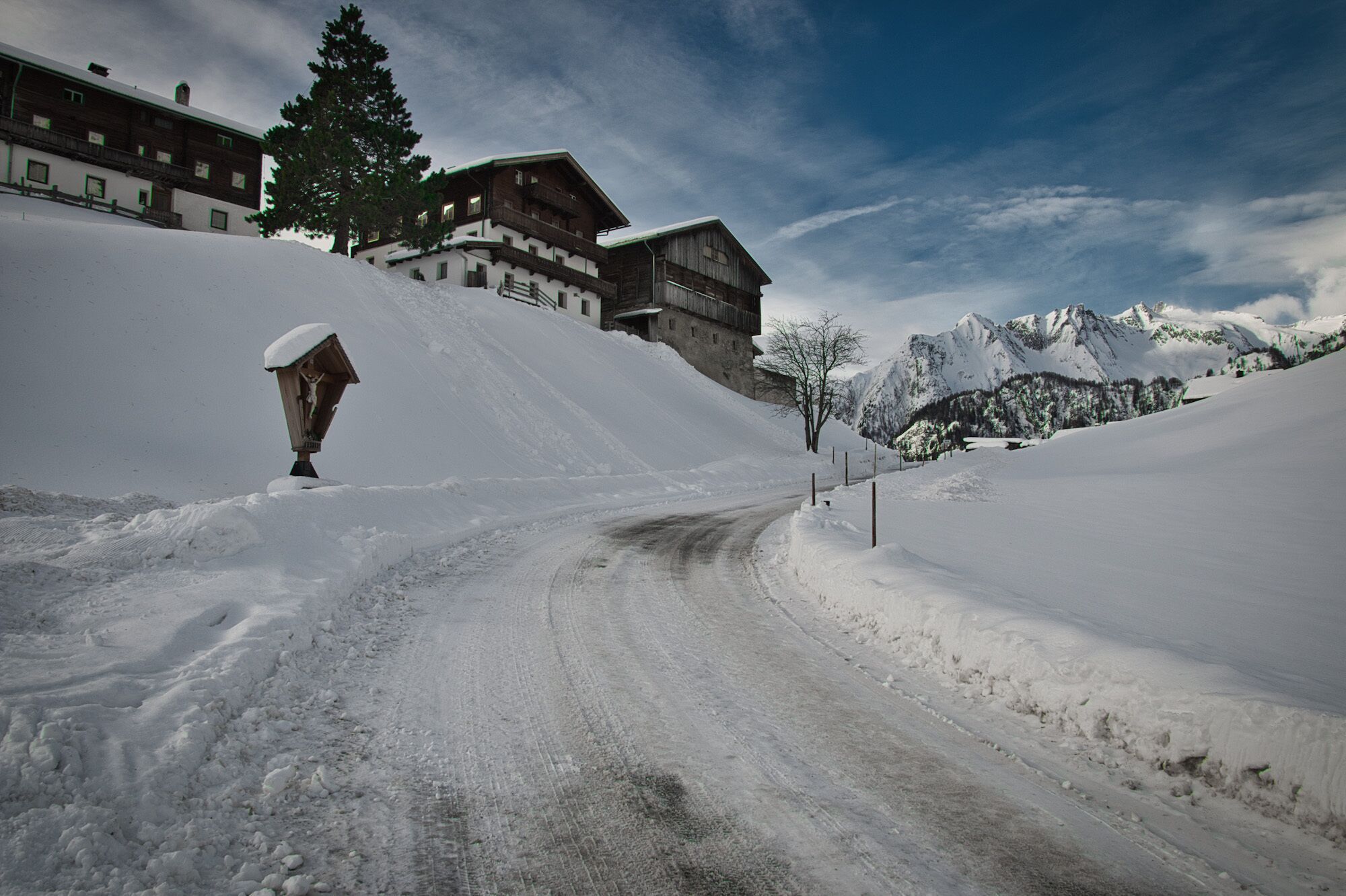
The trail leads along the municipal road up to the district "Bichl'". Turn left directly after "Adis Treff".  The path now leads moderately steeply downhill to the bus stop "Edelweiss" . From there it is only a few meters and approx. 15 min. walk to Hinterbichl. The return journey is best tackled with the Postbus.

Newsletter

The mountain is calling? So does our newsletter!

In our monthly newsletter we reveal the best holiday tips for Tyrol.