Winter hike Winter hiking trail Hinterbichl - Bichler Waldweg

closed
Prägraten am Großvenediger / Venedigergruppe
Difficulty ratings: easy
Route length: 3.2 km
Duration: 2:45 h

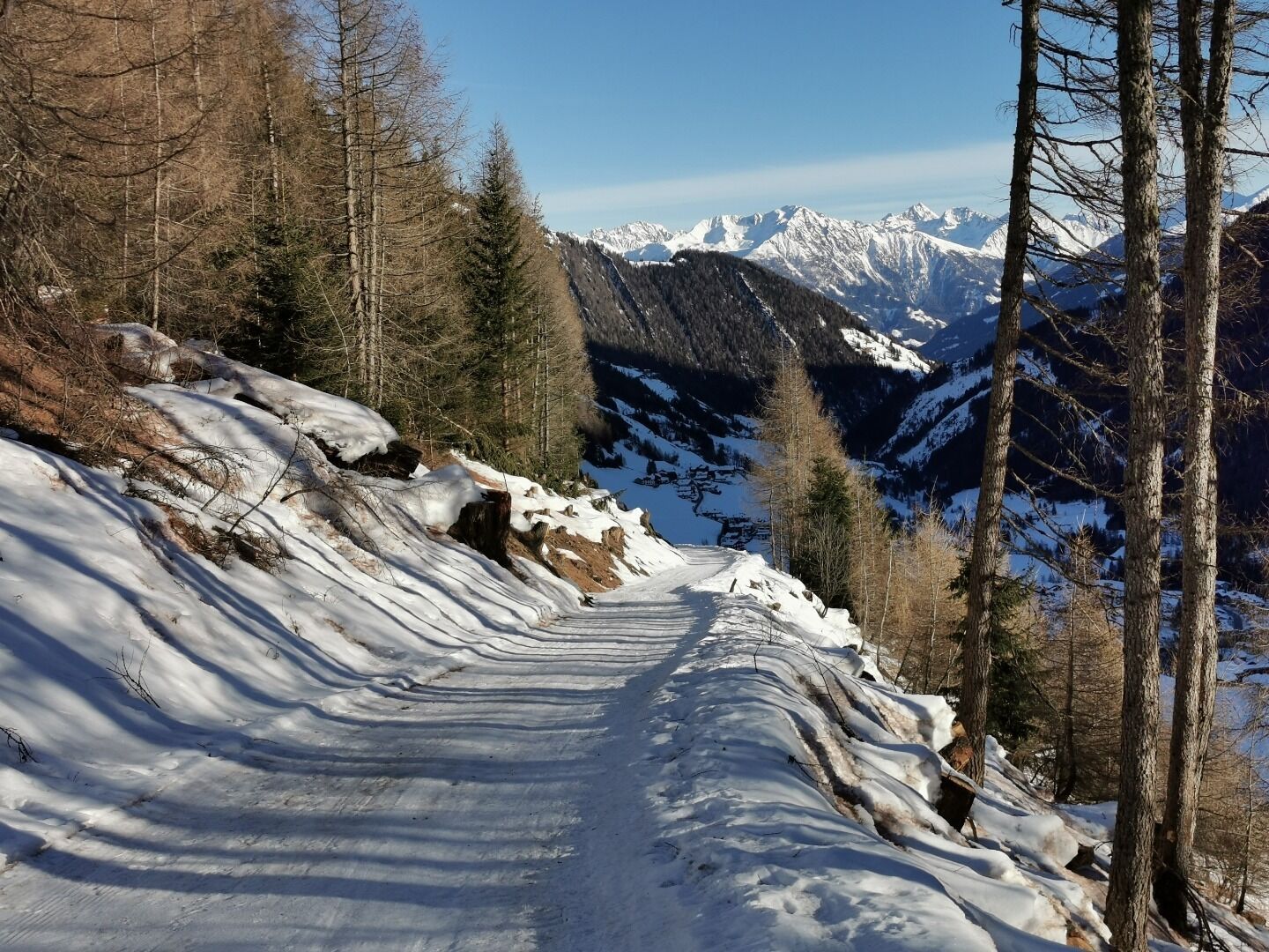
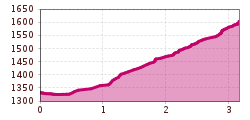
Nice winter hiking trail above Prägraten a. G.

Tour information

  • Requirement: easy
  • Length: 3.2 km
  • Duration: 2:45 h
  • Elevation uphill:275 hm
  • Elevation downhill:275 hm
Highest point1,603 m

Starting point

Gasthof Islitzer

Finishing point

Gasthof Islitzer or Tourist information Prägraten a. G.
  • Fitness level 3 / 6
  • Technique 3 / 6

Features

  • Suitable for families

Best time of year

  • January
  • February
  • March
  • April
  • May
  • June
  • July
  • August
  • September
  • October
  • November
  • December

Trail condition

Asphalt road, forest path, prepared

Equipment

Winter-proof clothing and shoes, possibly gaiters
Source: Nationalparkregion Hohe Tauern Osttirol

Description

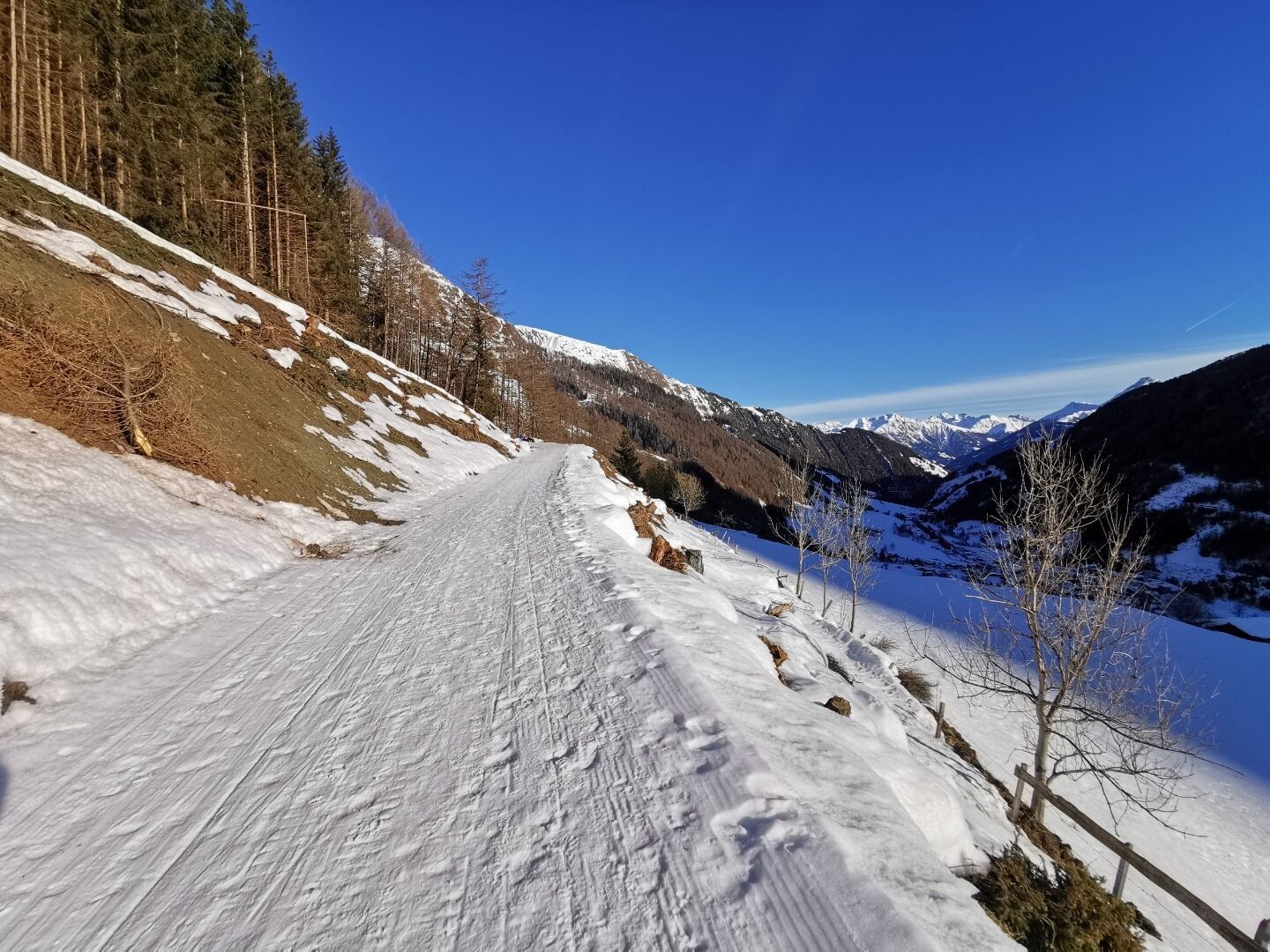
From Hinterbichl, walk a short distance out of the valley to the bus stop "Edelweiss", where you cross the road and reach the groomed winter hiking trail that leads up to the district of "Bichl". 

At "Adis Treff", turn left and walk a short distance in a westerly direction until you reach a sharp right-hand bend. Continue straight ahead for 150 metres and then turn right again onto the Bichl forest path.

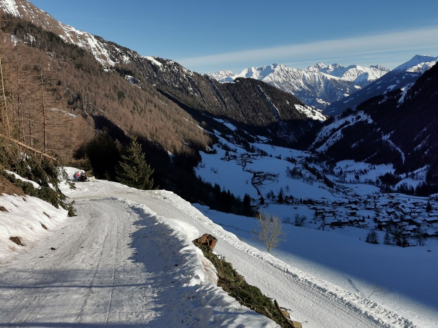
Alternative: Descent from the district of Bichl down to Prägraten, St. Andrä (municipal office) and from there take the post bus back to Hinterbichl.

Getting here

  • Arrival by public transport

    Prägraten a. G. Hinterbichl

  • Parking

    Prägraten a. G. Hinterbichl

Newsletter

The mountain is calling? So does our newsletter!

In our monthly newsletter we reveal the best holiday tips for Tyrol.