Winter hike Winter hiking trail Prägratner Sonnseitenrunde

closed
Prägraten am Großvenediger / Venedigergruppe
Difficulty ratings: easy
Route length: 2.7 km
Duration: 1:00 h

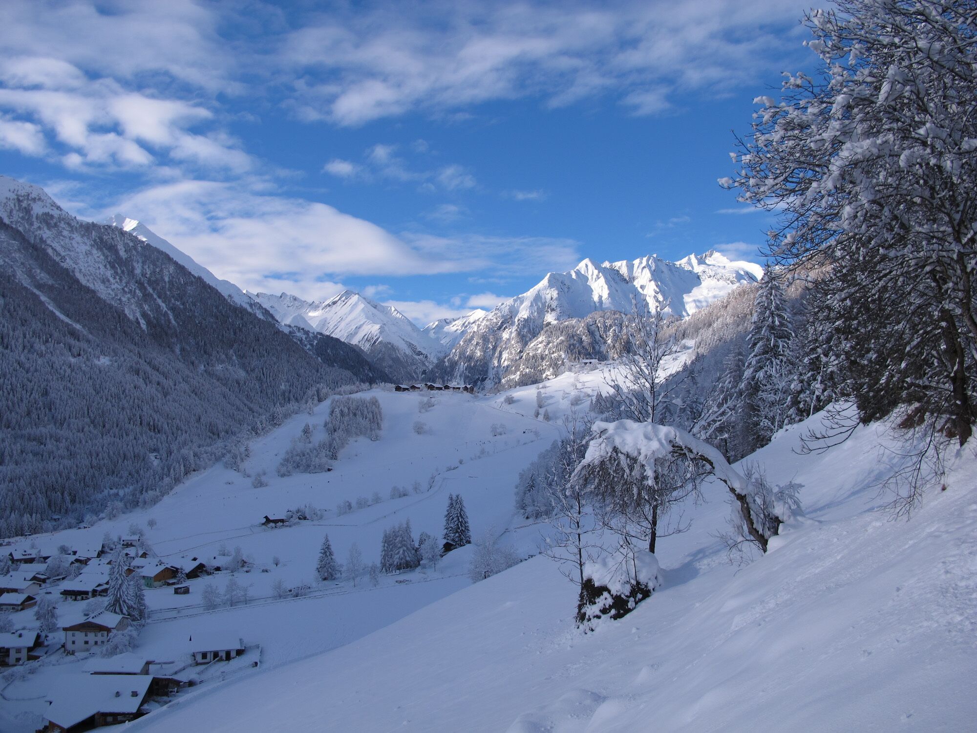
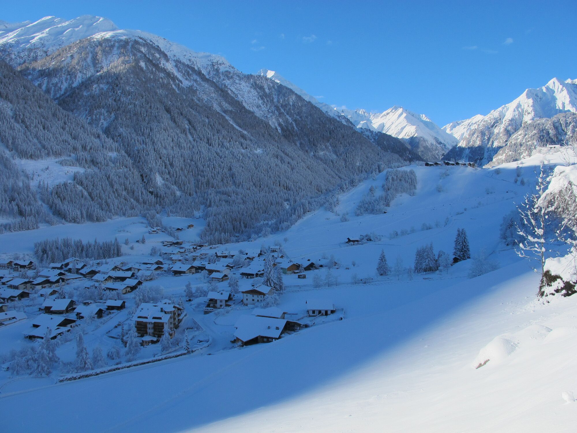
Cosy circular trail on the sunny side of Prägraten a. G.

Tour information

  • Requirement: easy
  • Length: 2.7 km
  • Duration: 1:00 h
  • Elevation uphill:95 hm
  • Elevation downhill:84 hm
Highest point1,401 m

Starting point

Tourist information Prägraten a. G.

Finishing point

Tourist information Prägraten a. G.
  • Fitness level 2 / 6
  • Technique 2 / 6

Features

  • Circular route
  • Suitable for families

Best time of year

  • January
  • February
  • March
  • April
  • May
  • June
  • July
  • August
  • September
  • October
  • November
  • December

Trail condition

Asphalt road, forest path, half-prepared

Equipment

Winter-proof clothing and shoes, possibly gaiters
Source: Nationalparkregion Hohe Tauern Osttirol

Description

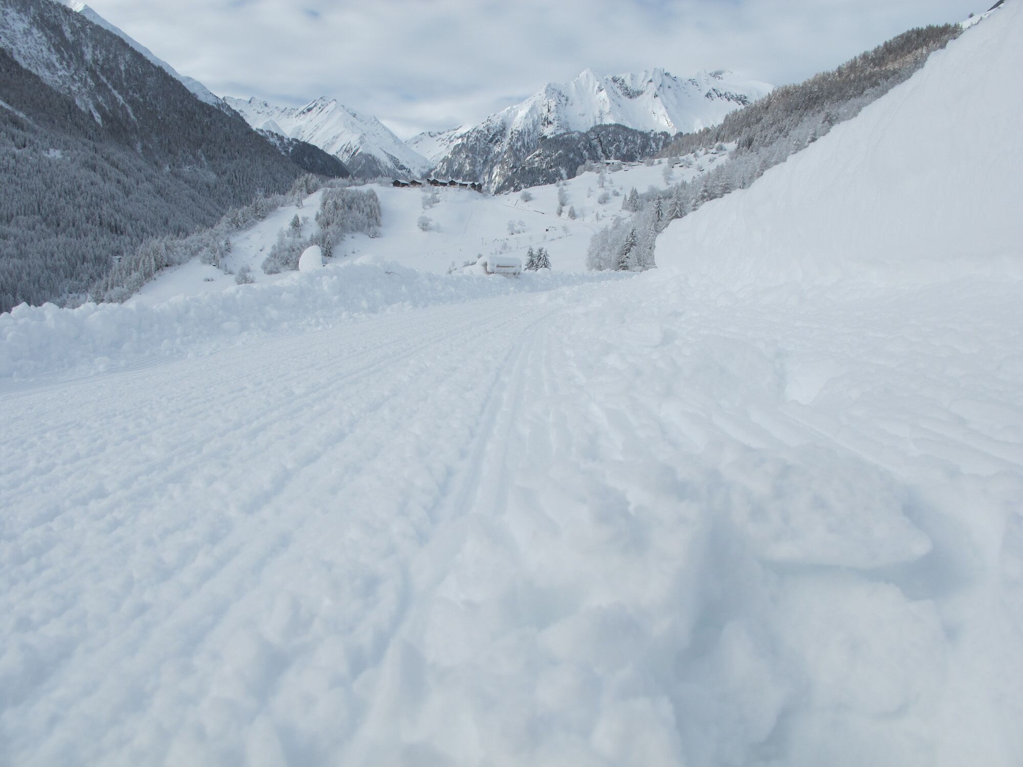
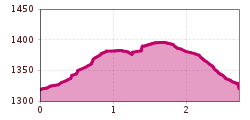
Go along the driveway in direction to the district Bichl, after the 4th bend turn left until reaching an isolated house. From there continue to the stream Timmelbach and cross over this one by taking the bridge Bogenbrücke. After the bridge walk up for a short section to an avalanche barrier. At this point continue in easterly direction to the district Wallhorn and take the municipal road to get back to the starting point.
 

Getting here

  • Arrival by public transport

    Prägraten a. G. Gemeindeamt (municipal office)

  • Parking

    Prägraten a. G. Gemeindeamt (municipal office)

Newsletter

The mountain is calling? So does our newsletter!

In our monthly newsletter we reveal the best holiday tips for Tyrol.