Winter hike Winter hiking trail "Staller Sattel"

closed
St. Jakob im Defereggental / Villgratner Berge
Difficulty ratings: easy
Route length: 3.9 km

Hiking in a winter paradise

Tour information

  • Requirement: easy
  • Length: 3.9 km
  • Elevation uphill:68 hm
  • Elevation downhill:70 hm
Highest point2,051 m

Starting point

Lackenstüberl

Finishing point

Grenze zu Italien
  • Fitness level 2 / 6
  • Technique 2 / 6

Features

  • Suitable for families

Best time of year

  • January
  • February
  • March
  • April
  • May
  • June
  • July
  • August
  • September
  • October
  • November
  • December
Source: Defereggental

Description

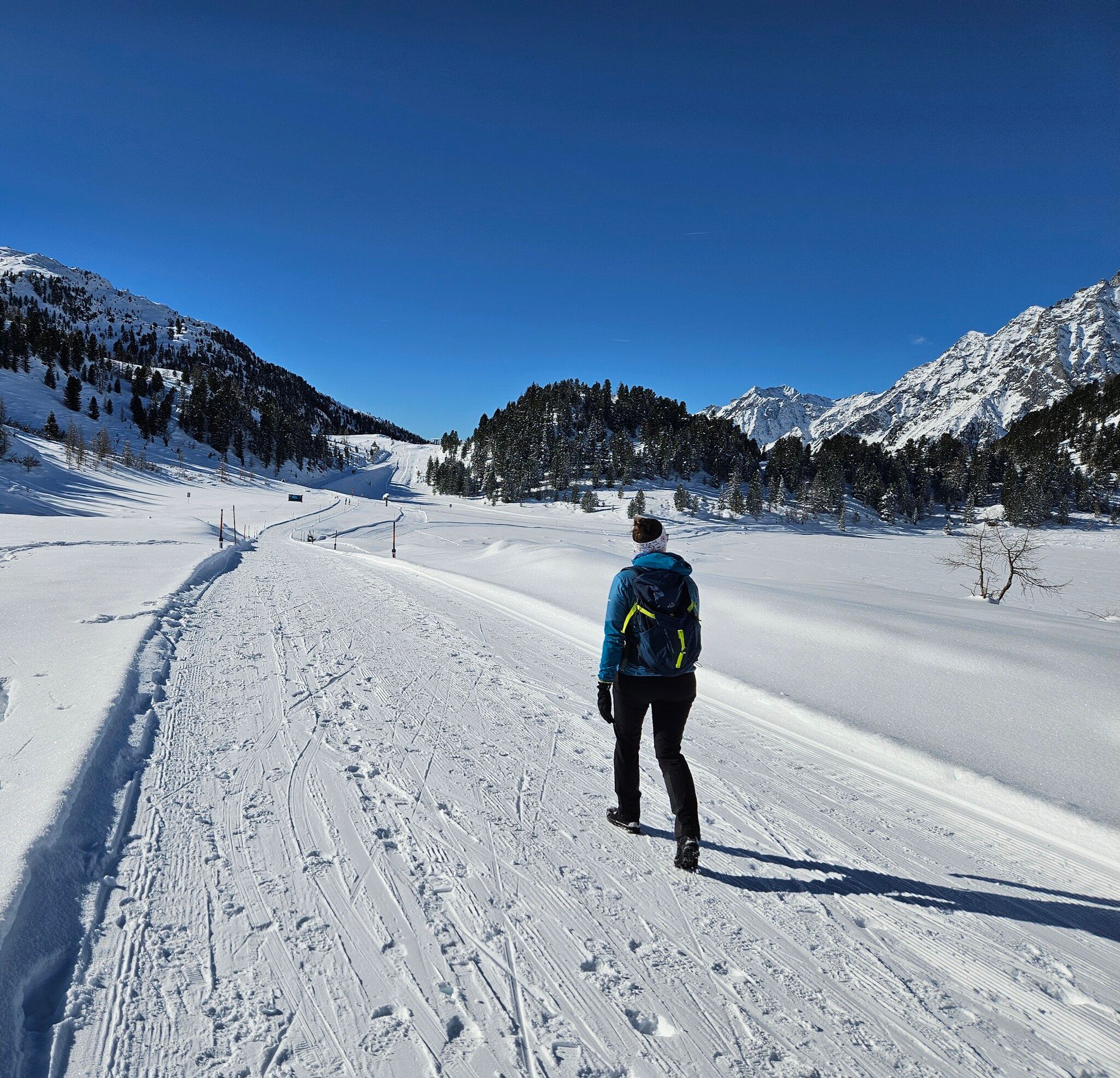
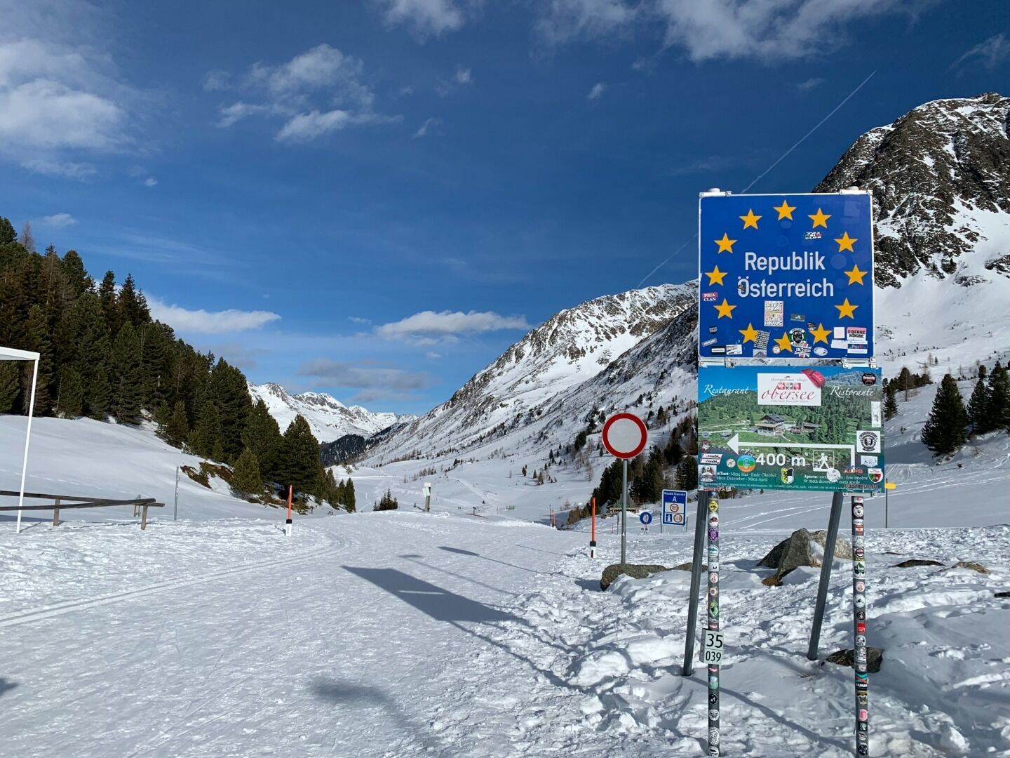
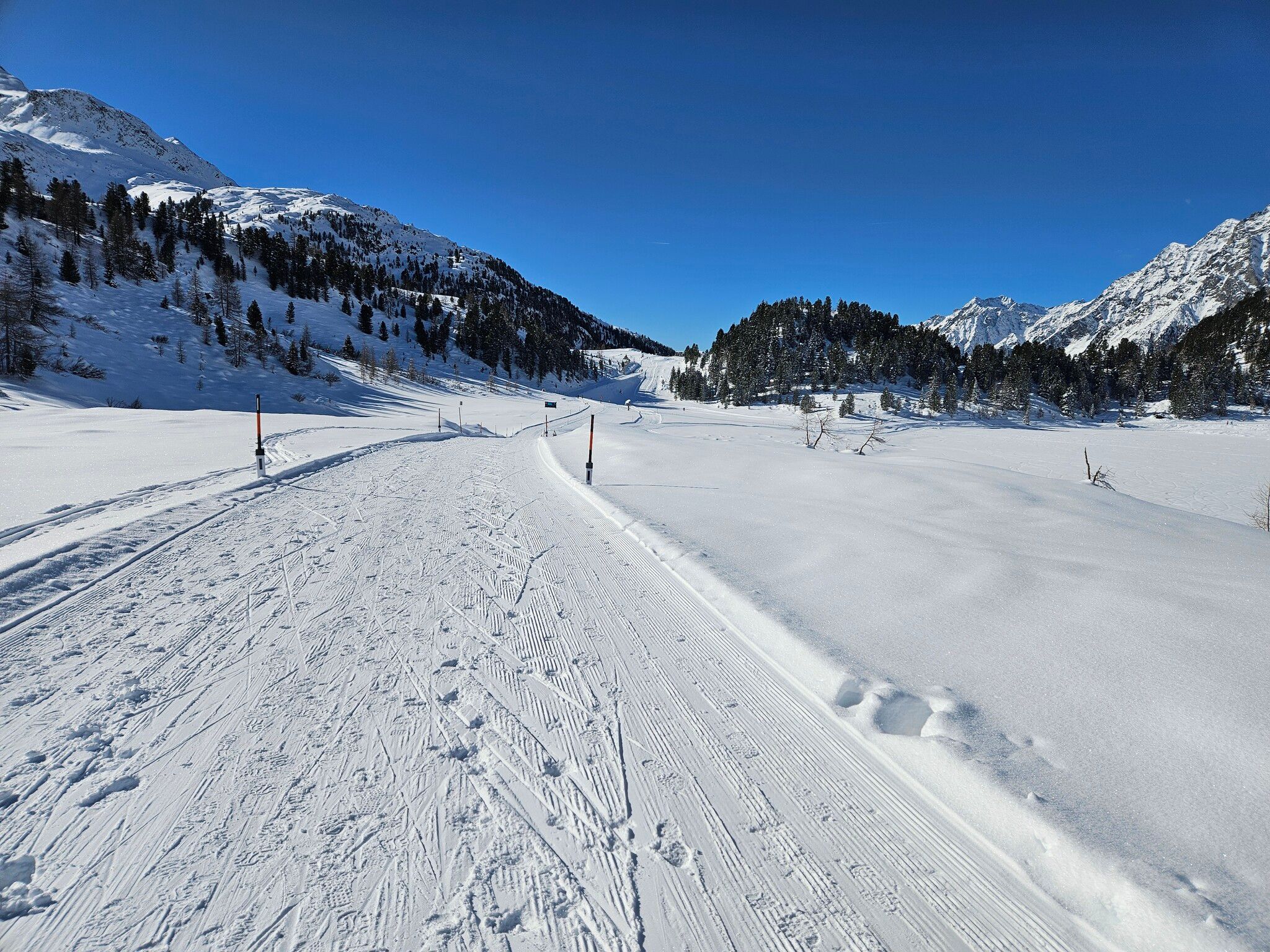
Staller Sattel rises up on the western end of Defereggental and is a natural end point. It is right here that the border to Italy is located. Due to the generally open location, sun-worshipping hikers enjoy some extensive indulgence with the sun’s warming rays on Staller Sattel.

Nearby huts and mountain restaurants

Newsletter

The mountain is calling? So does our newsletter!

In our monthly newsletter we reveal the best holiday tips for Tyrol.