Winter hike Winter hiking trail Wallhornrunde

closed
Prägraten am Großvenediger / Venedigergruppe
Difficulty ratings: easy
Route length: 4.6 km
Duration: 3:00 h

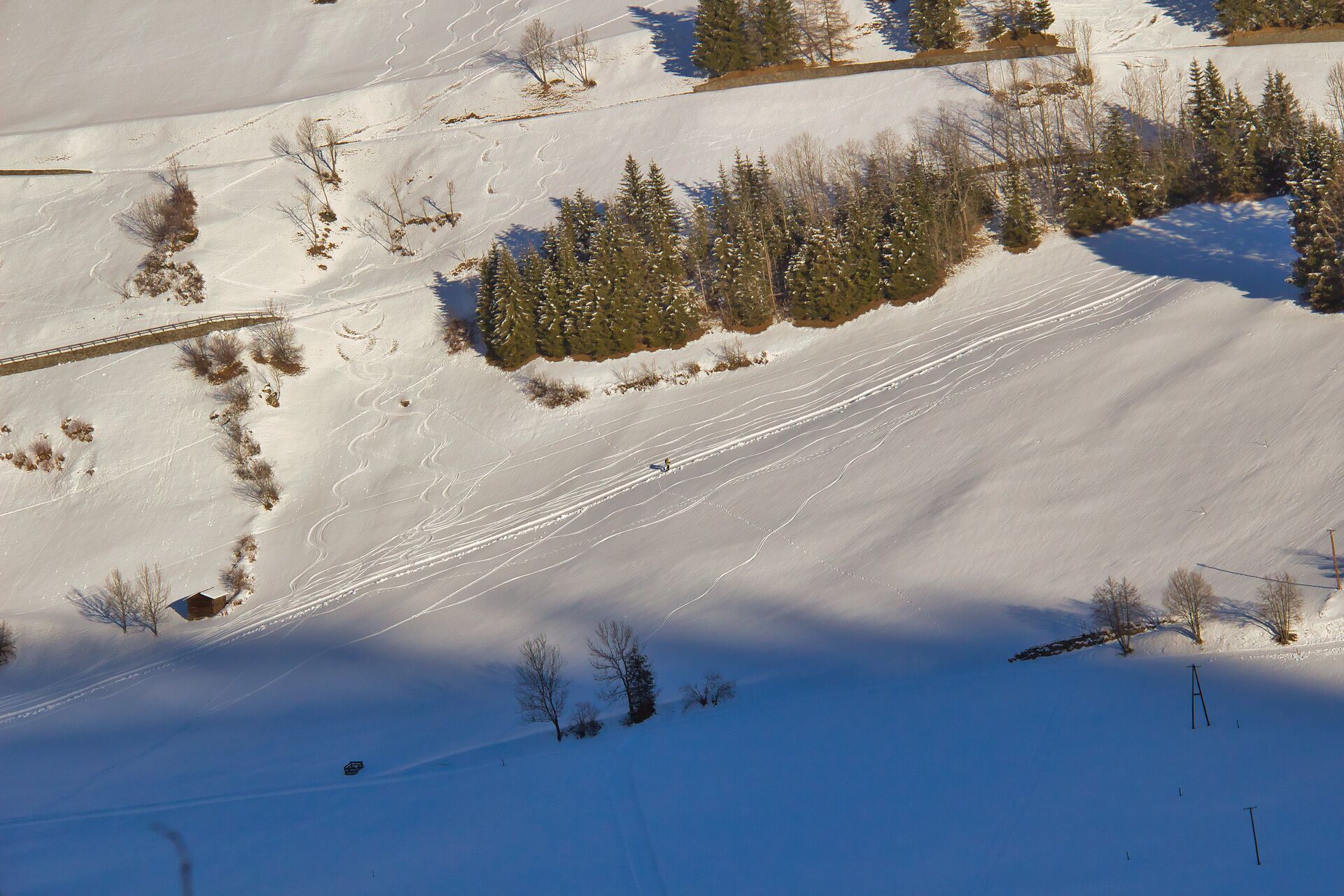
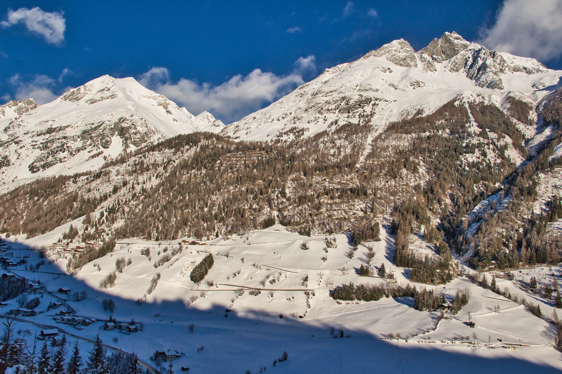
Sunny village tour through Wallhorn

Tour information

  • Requirement: easy
  • Length: 4.6 km
  • Duration: 3:00 h
  • Elevation uphill:142 hm
  • Elevation downhill:130 hm
Highest point1,426 m

Starting point

Tourist information Prägraten a. G.

Finishing point

Tourist information Prägraten a. G.
  • Fitness level 2 / 6
  • Technique 2 / 6

Features

  • Circular route

Best time of year

  • January
  • February
  • March
  • April
  • May
  • June
  • July
  • August
  • September
  • October
  • November
  • December

Trail condition

Asphalt road, forest path, prepared

Equipment

Winter-proof clothing and shoes, possibly gaiters
Source: Nationalparkregion Hohe Tauern Osttirol

Description

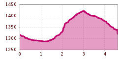
The access to the actual winter hiking trail first leads along the pavement of the country road in an easterly direction to the bus stop in Wallhorn. (1.3 km)

From there a short ascent to the chapel "Grießer Kapelle", then turn right until you reach a car park.
From there, the trail leads across open terrain (prepared) towards a detached house. Then in a north-westerly direction via a field path moderately steeply up to Wallhorn, and via the municipal road back to the starting point. 

Further starting point: from the bus stop "Wallhorn" (walking time: 2h)

Getting here

  • Arrival by public transport

    Prägraten a. G. Gemeindeamt (municipal office)

  • Parking

    Prägraten a. G. Gemeindeamt (municipal office)

Newsletter

The mountain is calling? So does our newsletter!

In our monthly newsletter we reveal the best holiday tips for Tyrol.