Further Activities in the Karwendel Nature Park

Show
on mapEng-Alm mit SchaukäsereiAlpine hikes
Starting point: Car park, Alpengasthof Eng
Length: 2km
Elevation uphill: 40m
Total hiking time: 1h
Difficulty rating: easy (hiking trails)
View tour description 
Show
on mapGleirschklammMountain hikes
Starting point: Tourism information office, Scharnitz
Length: 14km
Elevation uphill: 583m
Total hiking time: 5h
Difficulty rating: intermediate (red mountain trails)
View tour description 
Show
on mapHinterhornalm - Walder Alm - GanalmMountain biking
Starting point: Car park at bottom of toll road to Hinterhornalm, Gnadenwald
Length: 24km
Elevation uphill: 800m
Riding time: 3h
Difficulty rating: difficult
View tour description 
Show
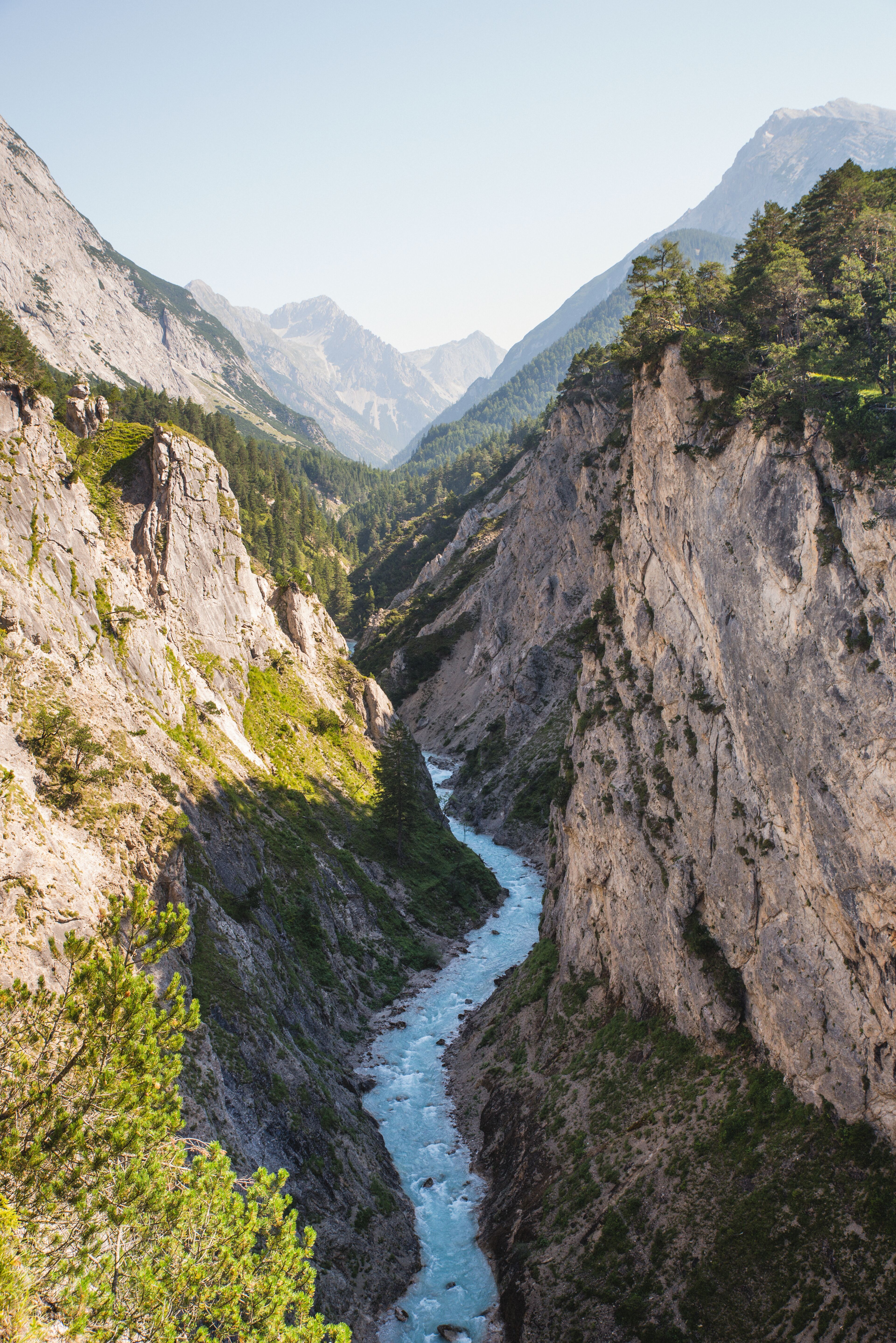
on mapKarwendel Gorge, ScharnitzMountain hikes
Starting point: Länd car park, tourist information office in Scharnitz
Length: 9km
Elevation uphill: 216m
Total hiking time: 3h
Difficulty rating: intermediate (red mountain trails)
View tour description 
Show
on mapKarwendel High TrailLong Distance Path
Starting point: Reith bei Seefeld
Length: 67km
Elevation uphill: 4,475m
Duration: 6 day(s)
Difficulty rating: difficult (black trails)
View tour description 
Show
on mapMuseum Holzerhütte ScharnitzScharnitz
What was everyday life like in centuries past for those who worked the forests of Tirol? What is a 'natural' forest? The Museum Holzerhütte…
Family friendly
Possible in rainy weather
Go to attraction 
Show
on mapPertisau - Gaisalm - AchenkirchAlpine hikes
Starting point: Strandbad Pertisau
Length: 9km
Elevation uphill: 160m
Total hiking time: 2 h 30 min
Difficulty rating: intermediate (red mountain trails)
View tour description 
Show
on mapWalderalmAlpine hikes
Starting point: Gnadenwald, district of St. Michael
Length: 13km
Elevation uphill: 740m
Total hiking time: 5h
Difficulty rating: easy (hiking trails)
View tour description 
Show
on mapWolfsklammMountain hikes
Starting point: Stans
Length: 7km
Elevation uphill: 370m
Total hiking time: 2 h 30 min
Difficulty rating: intermediate (red mountain trails)
View tour description Nature Park Villages in the Karwendel

AbsamAbsam is a place of pilgrimage and one of the most attractive villages near Innsbruck. The municipality is home to around 6,800 inhabitants and lies on the edge of the Karwendel Mountains at 632m…
More Information
AchenkirchModern yet traditional, the village of Achenkirch is located at the northern end of Lake Achensee, between the Karwendel and Rofan Mountains.
More Information
GnadenwaldGnadenwald lies at the foot of the Karwendel Alpine Nature Park and is popular with nature lovers and outdoor enthusiasts alike thanks to its sunny location.
More Information
InnsbruckInnsbruck has everything a lively, vibrant city needs, and yet it is just a ten-minute journey into the high mountains which dominate the skyline.
More Information
JenbachThe town of Jenbach is located in the Lower Inntal Valley and forms part of the Karwendel Silver Region. It is home to almost 7,000 residents and is one of 20 settlements in Tirol to have been awarded…
More Information
MaurachMaurach and neighbouring Pertisau belong to the municipality of Eben, the main tourist centre on the southern shore of Lake Achensee.
More Information
PertisauThe villages Pertisau and Maurach belong to the municipality of Eben and are the main tourism hubs on the shores of Lake Achensee. They are situated at start of several small valleys leading into the…
More Information
Reith bei SeefeldReith bei Seefeld lies at the southern edge of the Seefeld Plateau. It is home to 1,300 inhabitants and offer fabulous views of the Inntal Valley.
More Information
RumLocated on the southern slopes of the mighty Nordkette Mountains, Rum is a municipality to the north of Innsbruck with a population of 9,000.
More Information
ScharnitzHidden away between steep mountain slopes, Scharnitz lies on a narrow valley floor to the south of the Scharnitzpass connecting Tirol to Bavaria. From here, visitors can easily access the Karwendel…
More Information
SeefeldA haven for cross-country skiers: Situated on a sunny plateau high above Innsbruck, the village of Seefeld is without a doubt one of, if not the, leading cross-country skiing centre in the world.
More Information
StansLocated at the foot of the Karwendel Mountains, Stans is a village near the town of Schwaz. From here, visitors can walk into the Wolfsklamm, a spectacular mountain gorge with many waterfalls.
More Information
TerfensTerfens is a pretty village at the foot of the Karwendel Mountains on the sunny side of the Inn river. It has a population of just over 2,100.
More Information
ThaurThaur is a municipality at the foot of the Nordkette mountain chain, just a few kilometres from the regional capital Innsbruck. It is known as the "vegetable patch of Tirol" because of its many…
More Information
VompVomp is a market municipality around 30 kilometres east of Innsbruck, located at the foot of the majestic Karwendel Mountains.
More Information
ZirlLocated 10km west of Innsbruck, Zirl is a municipality with almost 8,000 residents and often referred to as a "suburb" of the nearby regional capital.
More Information