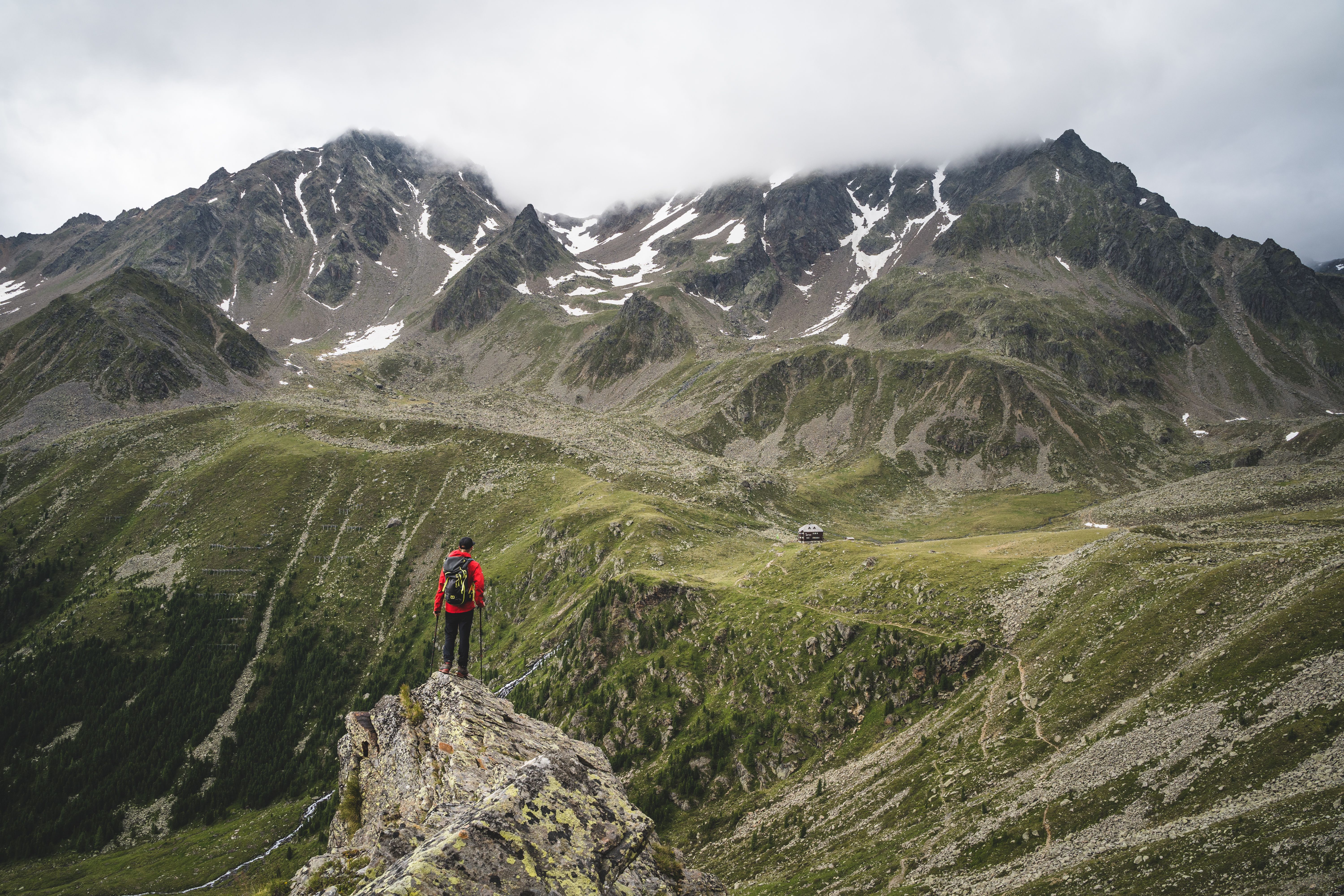
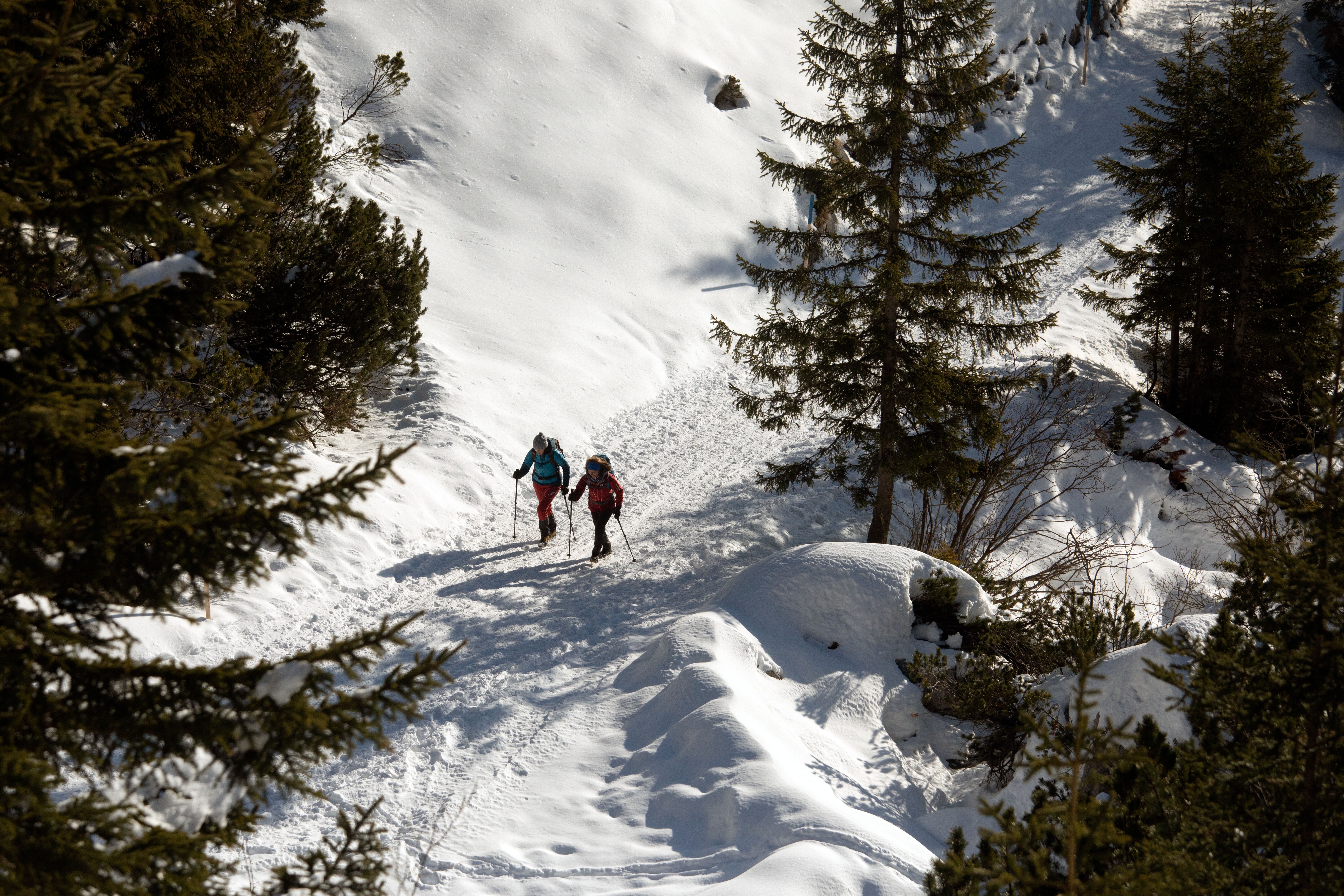
Long-distance hiking along the Munich - Venice Dream Path, © Tourismusverband Hall-Wattens
Destination of Stage 6: Hallerangeralm, © Tirol Werbung/Holger Gassler
Along Stage 8: Glungezer Hütte, © Gerald Aichner
Destination of Stage 8: Lizumer Hütte, © Alpenverein Hall in Tirol/Lizumer Hütte
Along Stage 10: Schlegeis reservoir, © Tirol Werbung/Klaus Kranebitter

Long-Distance Hiking Trail
Munich - Venice Dream Path (Traumpfad München – Venedig)

From the Bavarian capital of Munich all the way across the Alps to the world-famous lagoon city of Venice - the Venice Dream Path is an unforgettable journey for long-distance hikers. It takes only four weeks to walk from the eastern Alps to the Adriatic coastline. Six stages of the long-distance trail lead through the Tirolean region of Hall-Wattens, taking hikers from the Karwendel Mountains through the Inn Valley and the Wattental Valley, over the Glungezer mountain to the Lizumer Hütte hut and on to the highest point of the tour, a ridge known as the Friesenbergscharte, before stopping at the Dominikus Hütte hut and Schlegeis reservoir and then crossing the Italian border. Along the way, hikers traverse some of the most beautiful sections of the entire trail, whilst enjoying dream-like views of the Tirol’s alpine mountainscape. Rustic mountain huts and Alpine Association refuges along the route offer ideal opportunities to take a break and make overnight stays.

Open interactive map

Starting point  

Munich (Marienplatz)

Finishing point

Venice (Markusplatz)

Mountain chain

Tux Alps

Karwendel Mountains

Length

522 km

Duration

21 day(s)

Features

  • Wheelchair-accessible Hiking Route
  • Circular hike

Difficulty rating

difficult (black trails)

Altitude

2,800m 10m

Elevation uphill 20,570m
Vertical metres downhill 18,330m

Fitness level

Technique

Best time of year

Jan
Feb
Mar
Apr
May
Jun

Jul
Aug
Sep
Oct
Nov
Dec

* These are approximate values and recommendations. Please take your personal fitness level, technical ability and the current weather conditions into account. Tirol Werbung cannot guarantee that the information provided is correct and accepts no liability.

Trail description

Days 1 - 4: Munich - Vorderriß
The first four stages lead through the alpine foothills. Route information on these stages can be found here.

Day 5:  Vorderriß – Karwendelhaus
Uphill: 1,000 vertical metres, alking time: 7.5 hours, distance: 24 kilometres

The first stage through Tirol starts in the Bavarian district of Vorderriß and leads along the Rißtal Valley and through the Johannestal Valley to the Kleiner Ahornboden with its centuries-old chestnut trees and Hochalmsattel. This pleasant yet long section is boasts magnificent natural landscape. The stage ends at the Karwendelhaus hut at the foot of the Birkkarspitze mountain.

Day 6: Karwendelhaus – Birkkarspitze – Halleranger
Uphill/downhill: 1,500 vertical metres/1,500 vertical metres, walking time: 8 hours, distance: 14 kilometres

The route leads from the Karwendelhaus up to the Schlauchkarsattel mountain. After enjoying the magnificent view from the peak, the descent into the Hinterautal Valley begins. Once there, it is uphill again towards Hallenlager. Stage six ends at the Hallerangerhaus hut, also known as the Hallerangeralm. The relatively long and challenging walk is only recommended for experienced hikers.

Day 7: Halleranger – Wattens or Hall in Tirol
Uphill/downhill: 400 vertical metres/1,600 vertical metres, walking time: 5.5 hours, distance: 18 kilometres

From Hallerangerhaus, the seventh stage leads over Lafatscherjoch and Issjöchl to Herrenhäusern, the former administrative building for the Hall Salt Mine. The route then continues through the Halltal Valley.

Day 8: Wattens or Hall in Tirol – Lizumer Hütte Hut
Uphill/downhill: 1,490 vertical metres (option II), walking time: 7 hours, distance: 16 kilometres

Starting from Hall or Wattens, you have the choice of either option I (via Absam - Hall - Tulfes - Glungezer Hut - Rosenjoch - Naviser Jöchl - Lizumer Hut), or the easier option II (via Gnadenwald - Fritzens - Wattens - Wattener Lizum - Lizumer Hut). It is possible to make the journey to the Tulfeinalm hut by bus or cable car. Hike up to Naviserjöchl from there along the Gwannschafsteig and then on to Lizumer Hütte. Alternately, it is possible to hike along the mountain ridge from the Glungezer Hütte to the Lizumer Hütte. Be aware that if you are planning to walk along the mountain ridge, you should get to the Glungezer Hütte a day earlier and stay the night there. The Lizumer Hütte at 2,019 metres above sea level is where this stage ends.

Day 9: Lizumer Hütte Hut – Tuxerjochhaus
Uphill/downhill: 1,150 vertical metres/880 vertical metres, walking time: 7 hours, distance: 11 kilometres

The route leads initially from the Lizumer Hütte up to Pluderlingssattel. It then heads on over Toter Böden and the Gschützspitzsattel and down to the Weitental Valley. After the climb to Tuxerjoch you will reach the Tuxerjoch Haus, the final destination of stage nine.

Day 10: Tuxerjochhaus – Schlegeis
Uphill/downhill: 830 vertical metres/1,340 vertical metres, walking time: 6 hours, distance: 12 kilometres (option 1)

Option 1: The tenth stage extends over a length of 12 kilometres from the Tuxerjoch Haus over Friesenbergscharte to the Schlegeis reservoir. This section is considered to be the “crowning stage” of the Munich - Venice Dream Path, as it contains some exposed and extremely steep sections.

Option 2: The trail leads from the hut to Spannagelhaus. From the edge of the Tux Glacier, the route leads over the Friesenbergscharte ridge at almost 3,000 metres above sea level and past the Friesenbergsee lake before heading downwards towards Schlegeis. The stage ends either at the Alpengasthaus Dominikushütte or the Olperer Hütte overlooking the Schlegeis reservoir.

Day 11: Schlegeis - Stein
Uphill/downhill: 470 vertical metres (450 vertical metres from the Olperer Hütte)/700 metres (1,200 metres from the Olperer Hütte), walking time: 4 hours (5.5 hours from the Olperer Hütte), distance: 14 kilometres

The final stage through Tirol leads from the Dominikus Hütte or the Olperer Hütte to Pfitscherjochhaus and on to Stein, along a 14km route that takes around four hours to complete. It starts with a gentle climb to Pfitscher Joch, after which you make your descent along a romantic trail to the village of Stein.

Day 12 - 28: Stein - Venice
The remaining 17 stages lead from Stein into the Central Alps, through the North and South Dolomites and over the Piave Plains to Venice. Route information on stages 12 - 28 can be found here.

For more information and details on the individual stages, please visit www.muenchenvenedig.de and www.hall-wattens.at.

Arrival date

How to get here by plane, train, bus or car.

Ihr Ziel: Munich - Venice Dream Path (Traumpfad München – Venedig) (47.55991,11.4359)

powered by Rome2Rio

Search accommodation

Number of travelers

Hiking trails in this region

show more +

How did you like this article?

Want to receive an answer? If so, please get in touch using the contact form.

Go up

Is your inbox in need of a holiday?

Then subscribe to our weekly newsletter full of exclusive holiday tips from Tirol!