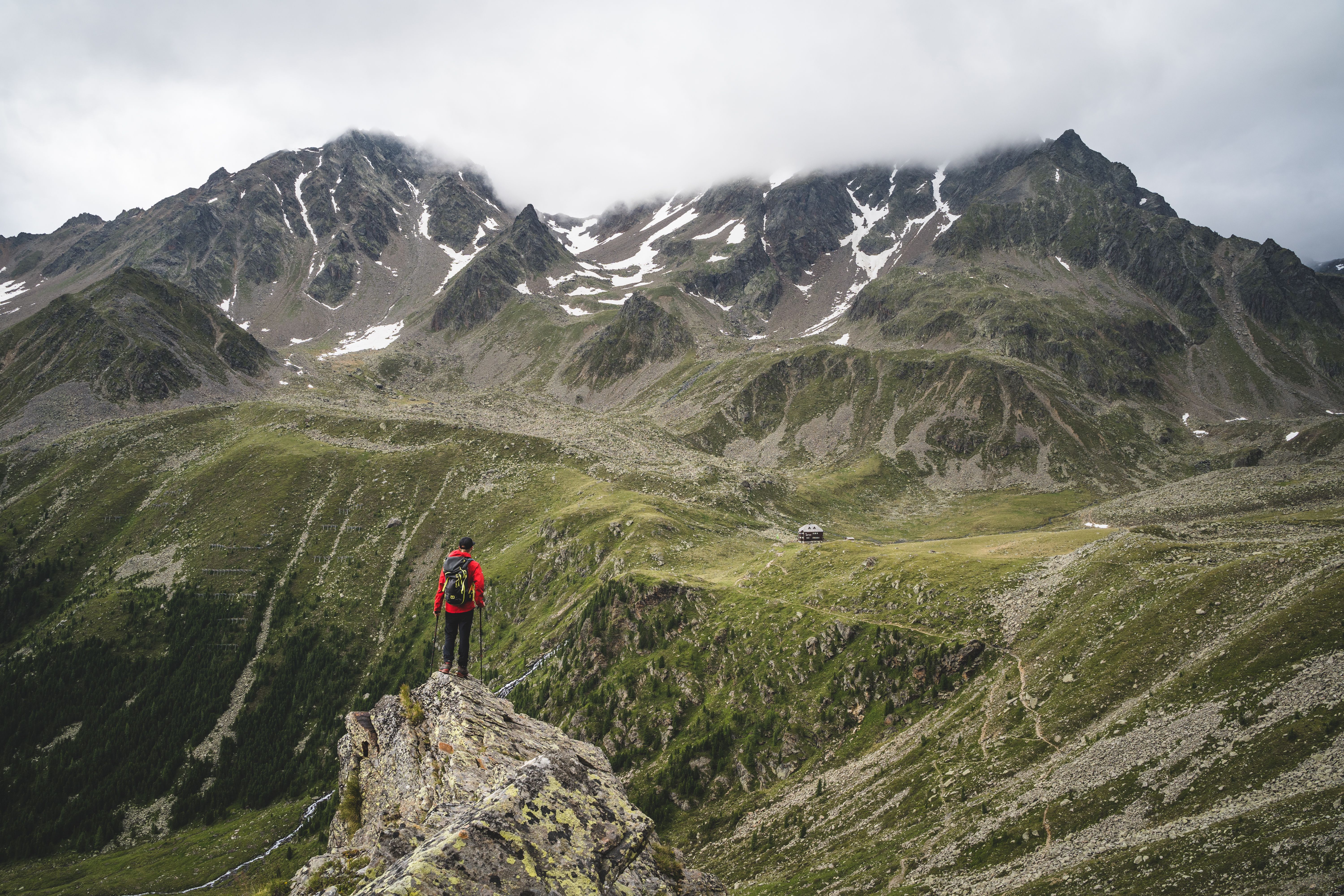
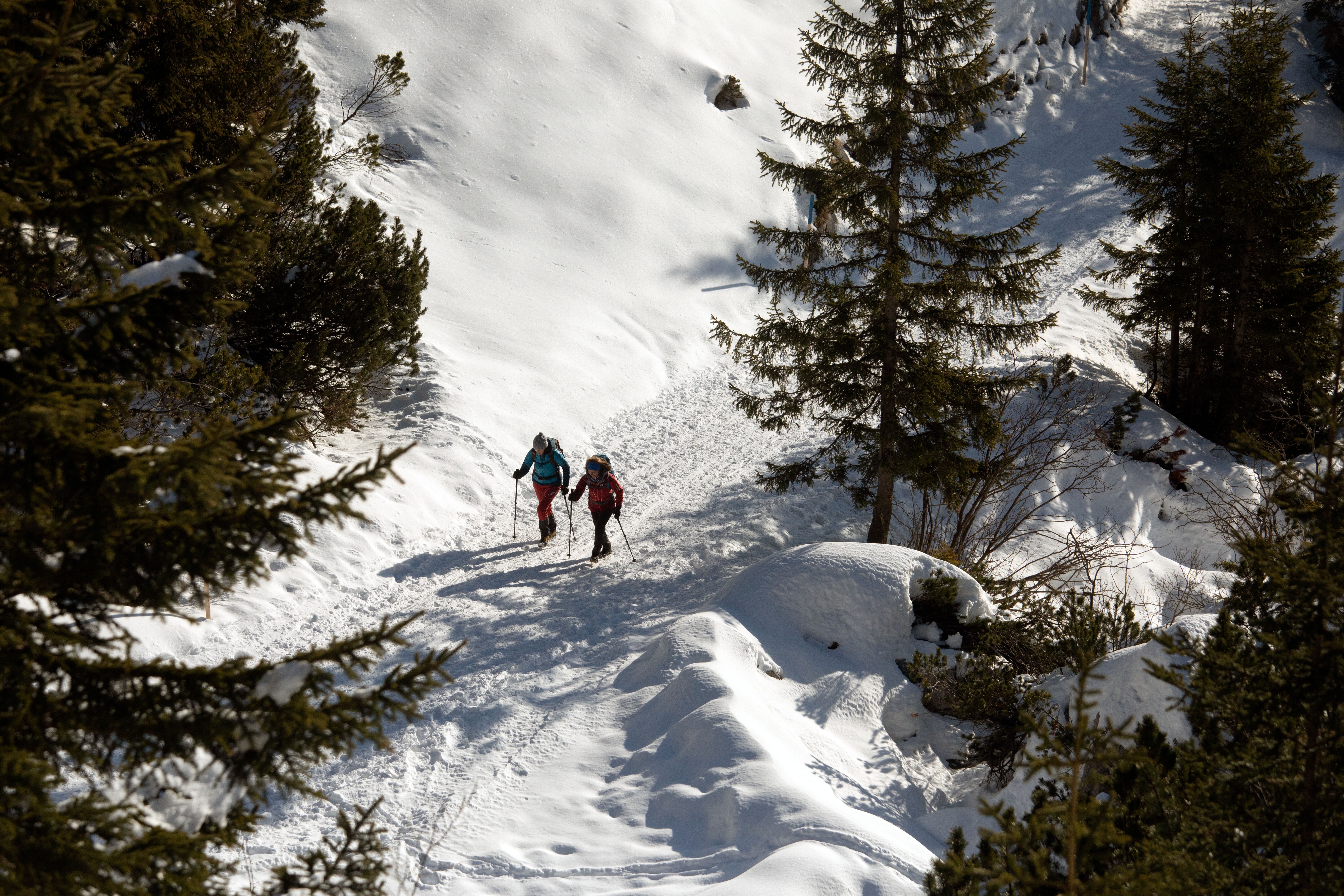
This five-day hike of intermediate difficulty takes walkers around the craggy peaks of the Wilder Kaiser and is without a doubt one of the most beautiful multi-stage hikes in the region. Leaving from Going am Wilden Kaiser, the 65km route leads through lush meadows and past beautiful natural highlights such as the Hintersteiner See lake. Accompanying hikers all the way are truly spectacular views if the surrounding mountains and valleys, from the Chiemsee lake in Germany all the way to the Großglockner, Austria's highest mountain. A panorama truly fit for an emperor!


Long-Distance Hiking Trail
Starting point
Aschingerkapelle, Going (Hüttling)
Finishing point
Aschingerkapelle, Going (Hüttling)
Mountain chain
Kaiser Mountains
Length
65 km
Duration
6 day(s)
Features
- Wheelchair-accessible Hiking Route
- Circular hike
Difficulty rating
intermediate (red mountain trails)
Altitude
Elevation uphill 5,000m
Vertical metres downhill 5,000m
Trail description
In five days hikers complete 65 kilometres on foot. The total walking time from start to finish is 30-35 hours. All in all there are around 5,000 metres of climbing and descending.
Stage 1
The hike begins in Going (Hüttling) next to the Aschingerkapelle chapel and leads along a forest path via Graspoint Niederalm (1,075 metres) up to the Obere Regalm hut (1,313 metres). Hikers then continue along a section of the Eagle Walk towards the Gaudeamushütte. A path then heads through the fascinating "Klamml" gorge to the Gruttenhütte (1,620 metres) – this is the highest alpine hut in the Wilden Kaiser Mountains.
Stage 2
Thi stage leads around the Treffauer mountain, through pine bushes and sections of forest, all the way to the pretty Kaiser-Hochalm hut. After a rest at the Steiner Hochalm hut (1,257 metres) hikers continue to the Hintersteiner See lake (883 metres), a perfect place to cool off your feet on a hot summer's day. The final section leads along the southern shore of the lake to the finishing point on the western shore.
Stage 3
Day three sees hikers start off on a forest trail up to the Walleralm hut, taking them through rolling pastures and meadows at the foot of the Zettenkaiserkopf mountain. The pastures and meadows continue all the way to the mighty crucifiy at the top of the Hochegg (1,470 metres). Follow a trail to the high plateau home to the Kaindlhütte hut (1,293 metres). There is then a trail ("Bettlersteig") leading past two gorges down into the Kaisertal Valley and on to the Anton-Karg-Haus (829 metres). A footpath takes hikers over a series of streams and steps uphill to the Hans-Berger-Haus (936 metres). Passing pine bushes, walkers complete a steep section up to the Stripsenjochhaus (1,577 metres), where a fabulous view of the Totenkirchl and Predigtstuhl mountains await.
Stage 4
From the Stripsenjochhaus, hike over the Stripsenkopf mountain (1,807 metres) and continue over the Feldberg mountain (1,813 metres) and the Scheibenbichlberg mountain down into the idyllic Kaiserbachtal Valley and the village of Griesenau. Along the way hikers can look forward to fine views of the craggy rock faces characteristic of the Wilder Kaiser to the south as well as the pretty Chiemsee over the border in Bavaria to the north. The forest trail at the Engelbach river eventually leads to Gasteig.
Stage 5
From Gasteig – in the shadow of the mighty Maukspitze peak – there is a trail to the "Wilder-Kaiser-Steig" path heading south. Via Niederkaiser hikers will reach the Graspoint-Hochalm and then the Graspoint Niederalm (1,075 metres) back to the starting point in Going.
For more details on individual stages, alternative routes, places serving food & drink as well as accommodation options please click here.