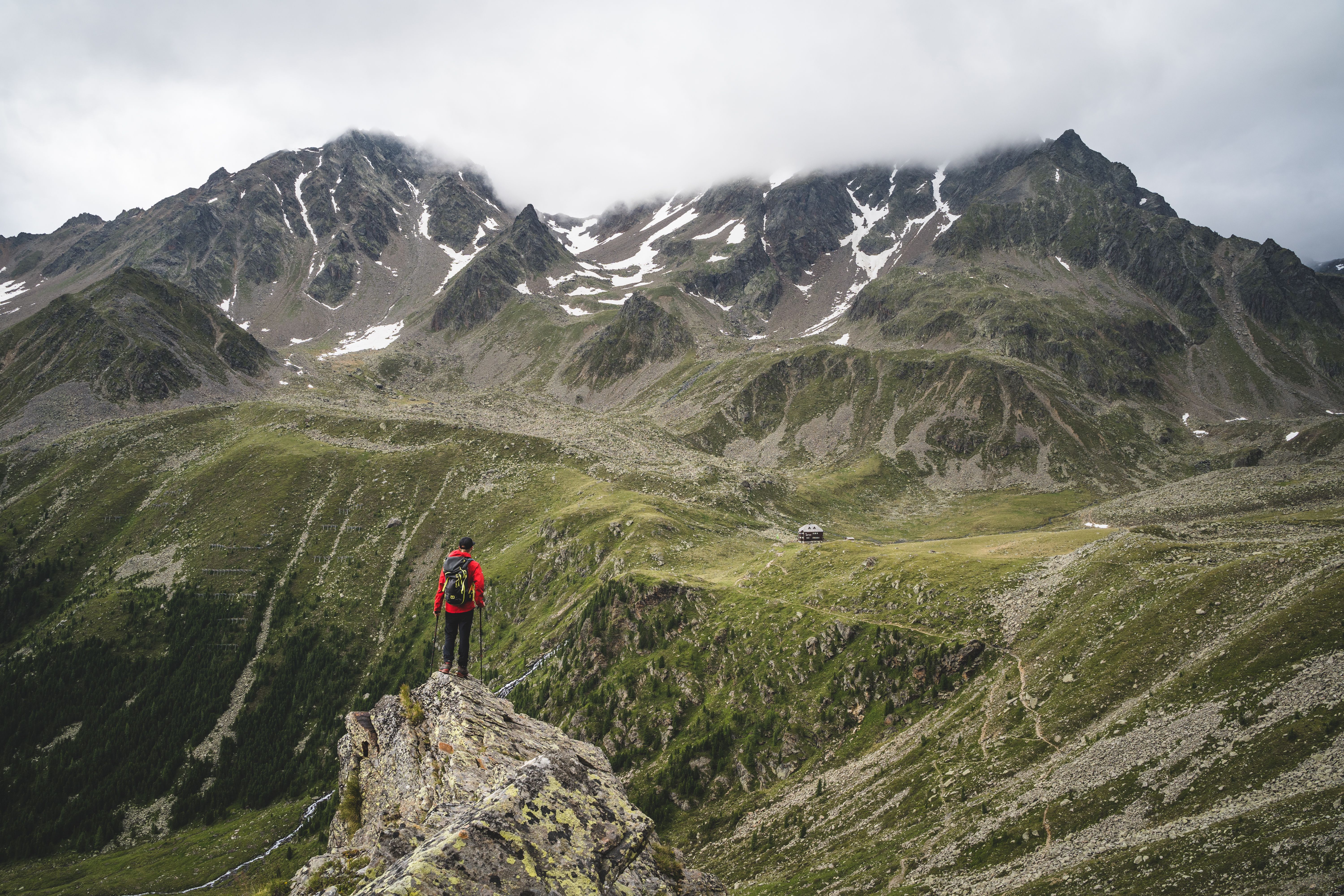
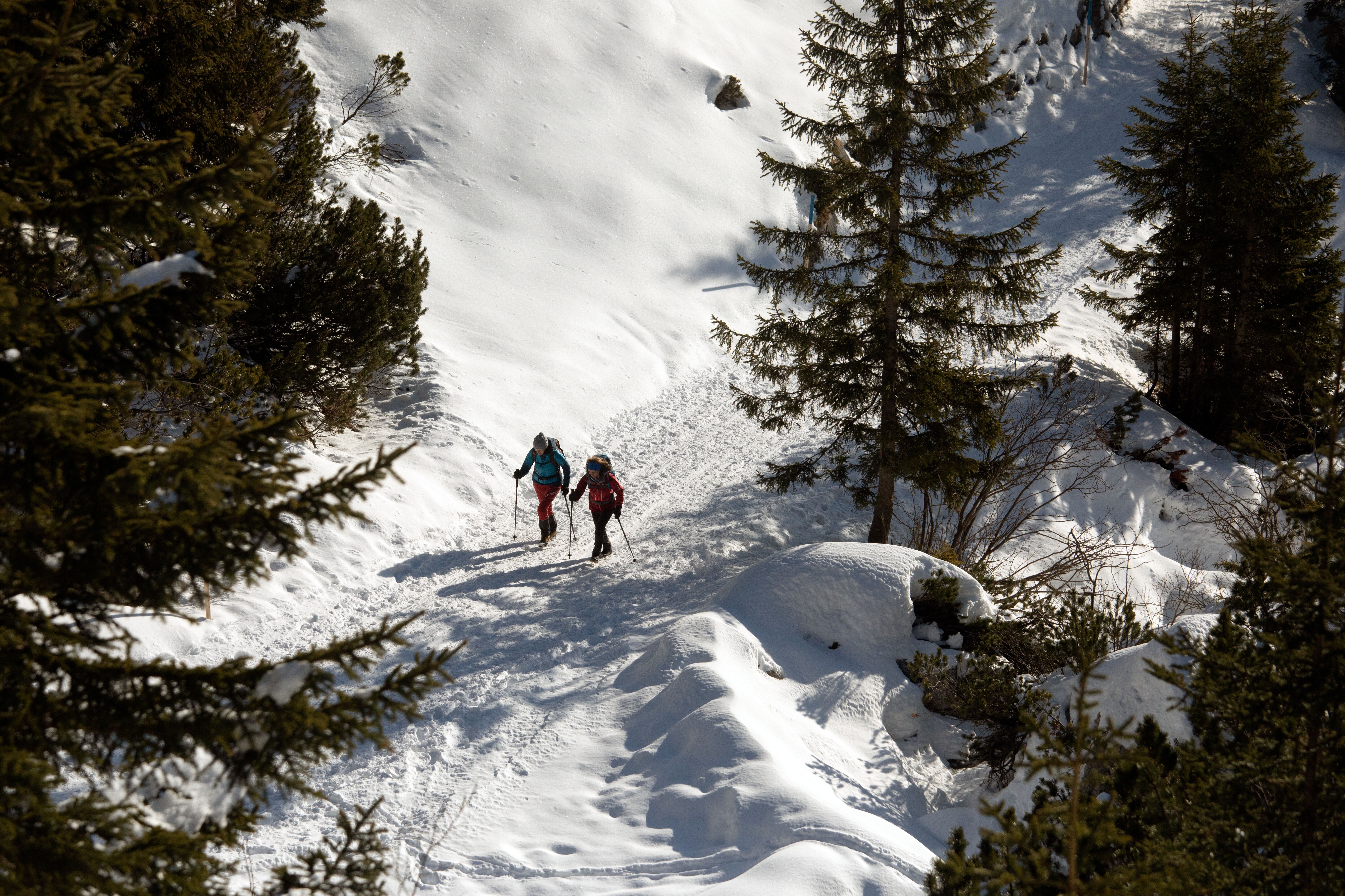
Crossing the Karwendel Mountains, © Tirol Werbung/Dominik Gigler

Three-Day Trek: Traversing the Karwendel Range

This delightful three-day trek is a Tirolean classic. It traverses the magnificent Karwendel Mountains from west to east, passing through the Karwendel Nature Reserve covering over 1,000 square kilometres. The highest peak in the park is the Birkkarspitze at 2,749 metres. Surprises en route include the "Kleiner Ahornboden", a plateau in the heart of the Karwendel Mountains covered with thousands of maple trees dating back several hundred years. All the trails are well-maintained, though walkers will nevertheless need good fitness and sure footing for the three long stages. The Karwendelhaus and the Lamsenjochhütte provide cosy accommodation high in the mountains.

Open interactive map

Starting point  

Scharnitz

Hike to

Karwendelhaus, Lamsenjochhütte, St. Georgenberg

Finishing point

Stans

Mountain chain

Karwendel Mountains

Length

53.5 km

Duration

3 day(s)

Features

  • Wheelchair-accessible Hiking Route
  • Circular hike

Difficulty rating

intermediate (red mountain trails)

Altitude

1,951m 531m

Elevation uphill 2,392m
Vertical metres downhill 2,810m

Fitness level

Technique

Best time of year

Jan
Feb
Mar
Apr
May
Jun

Jul
Aug
Sep
Oct
Nov
Dec

* These are approximate values and recommendations. Please take your personal fitness level, technical ability and the current weather conditions into account. Tirol Werbung cannot guarantee that the information provided is correct and accepts no liability.

Public transport

  • Accessible using public transport

Parking

Parking in the centre of Scharnitz


Places serving food & drink

  • Karwendelhaus (June until September)
  • Eng-Alm (May until October)
  • Binsalm (mid-May until October)
  • Lamsenjochhütte (mid-June until mid-October)
  • Gasthof Marschall, Brandstetterhof and other locations in Stans

Downloads

Trail description

Day 1: Scharnitz – Karwendelhaus
Uphill/downhill 869/30 vertical metres, walking time: 6 hours, distance: 18.9 kilometres, highest point: 1,790 meters, difficulty: intermediate (red)

From the railway station in Scharnitz (962 metres) walk south past the Karwendel Alpine Park visitors’ centre to the parish church. Follow the road into the “Karwendeltal” valley. Past the car park, walk for around kilometre until you get to a huge wooden sign saying “Karwendelhaus”, “Falkenhütte” where the forest road heads to the left. Keep on this forest road all the way across the Karwendel Valley as it climbs gently uphill, passing the Larchetalm hut (1,173 metres) on its way to the end of the valley. At the end of the valley, you can either stay on this forest road which will eventually take you to the Karwendelhaus lodge (1,765 metres) or, alternatively, switch to the steep path leading directly up to the lodge.

Day 2: Karwendelhaus – Falkenhütte – Lamsenjochhütte
Uphill/downhill: 1,412/1,229 vertical metres, walking time: 8 hours, distance: 21.2 kilometres, highest point: 1,951 metres, difficulty: intermediate (red)

From the Karwendelhaus lodge, follow a dirt road that gently climbs up onto the Hochalmsattel ridge (1,803 metres) with a cross on its summit. Keep walking in the same direction until a footpath branches off to the left. The footpath winds down through alpine pastures and across the Lower Filztal Valley (keep walking in the same direction). The footpath eventually merges with a dirt road that which leads down to the Kleiner Ahornboden. This lush alpine pasture is dotted with centuries-old sycamore maples. It is here that you will also find a memorial in memory of Hermann von Barth (1,399 metres), one of the early mountaineering pioneers of the Karwendel Mountains, who conquered 88 summits in the summer of 1870, twelve of which were first ascents. Leave the Kleiner Ahornboden and cross the wide boulder riverbed, which is usually dry, in a south-western direction and take the dirt road that gently winds up through thinning forest to Ladizalm hut (1,570 metres). Continue climbing. Eventually the road turns onto a singletrack trail that ascends wide open alpine pastures on its way up to the Falkenhütte hut (1,848 metres; closed until at least the end of 2019). From the hut, walk down to the Spielissjoch ridge (1,773 metres) on a dirt road. At the ridge, the route turns onto a singletrack trail that traverses the "Laliderer Reisen" to the east, with many ups and downs. Eventually, the trail gently ascends the Hohljoch col (1,794 metres) and leads down through verdant meadows and thick forest to the tiny alpine hamlet of Eng (1,250 metres). Leave Eng on a broad dirt road that climbs up to the Binsalm Niederleger hut (1,502 metres). Continue walking uphill on this road until you reach the Binsalm Hochleger hut (1,645 metres) in wide open terrain. There are various opportunities for a shortcut if you take the footpaths. The route climbs the Westliches Lamsenjoch saddle (1,940 metres) and then winds its way down through rugged terrain beneath the Lamsenspitze (2,508 metres) mountain to the Lamsenjochhütte hut (1,953 metres).

Day 3: Lamsenjochhütte – St. Georgenberg – Stans – Scharnitz
Uphill/downhill: 111/1,531 vertical metres, walking time: 5 hours, distance: 13.4 kilometres, highest point: 1,951 metres, difficulty: intermediate (red)

Leave the hut and walk downhill in a south-easterly direction along a dirt road for a short while, before taking the right fork onto a trail. The trail becomes increasingly rock-laden and meanders along the meadows out of the valley. At 1,700 meters above sea level, the trail merges onto the dirt road again. Stay on this road that will take you gently downhill through a forest dominated by larches. This section is followed by a short and steep descent through mixed forest, before traversing an unusually large field of dwarf pines. Keep walking downhill. Leave the dirt road at a fork and turn onto a trail, following the sign for “Stallenalm”. The trail crosses the brook here, but the crossing can be very difficult (especially if the water is high). If you have difficulty crossing the brook at the designated trail crossing, continue walking on the dirt road as both routes merge a short distance ahead. Walk past the Stallenalm (this is where Stallental Valley begins) and take the level path along the mountain pastures before crossing the dry and wide gravel streambed (this is where the two routes merge again). The dirt road leads towards a picnic area, called “Rastplatzl Stallenblick”. Then, the trail takes you back into the mixed forest. Take the fork that leads downhill and you will soon pass another picnic area. Here again, continue on the trail that leads downhill. Follow the signs for “Fiecht, Vomp” and stay on the old dirt trail that leads gently downhill along the steep slopes of Stallental Valley. At an elevation of 1,050 metres, take the left fork and follow the footpath towards “St. Georgen, Wolfsklamm, Stans” (the trail signs are a bit confusing here). Continue downhill through thick deciduous forest until the trail merges onto a wide dirt road. Turn left and follow the road downhill. Cross the creek and continue along the dirt road up to the pilgrimage church of St. Georgenberg. After you’ve spent some time in St. Georgenberg, retrace your steps and follow the trail back to the junction with the trail, slightly before reaching the bridge. This time, though, bear towards “Wolfsklamm” at the junction and walk out of the valley on the left bank of the Stallenbach creek. The following section, which takes you down along the ravine, has a fixed anchoring system of cables. Walking along the path; you will cross the creek from time to time. As soon as you have left the ravine, continue along the slope until you reach a dirt road. Follow the road straight ahead and you will soon arrive in the village of Stans. Walk through the village, passing by the church, until you reach the railway station in Stans (531 metres).

Travel back from Schwaz to Scharnitz by train (S2 to Innsbruck, S5 to Scharnitz).

Information on place

Arrival date

How to get here by plane, train, bus or car.

Ihr Ziel: Three-Day Trek: Traversing the Karwendel Range (47.39192,11.26652)

powered by Rome2Rio

Search accommodation

Number of travelers

Hiking trails in this region

show more +

How did you like this article?

Want to receive an answer? If so, please get in touch using the contact form.

Go up

Is your inbox in need of a holiday?

Then subscribe to our weekly newsletter full of exclusive holiday tips from Tirol!