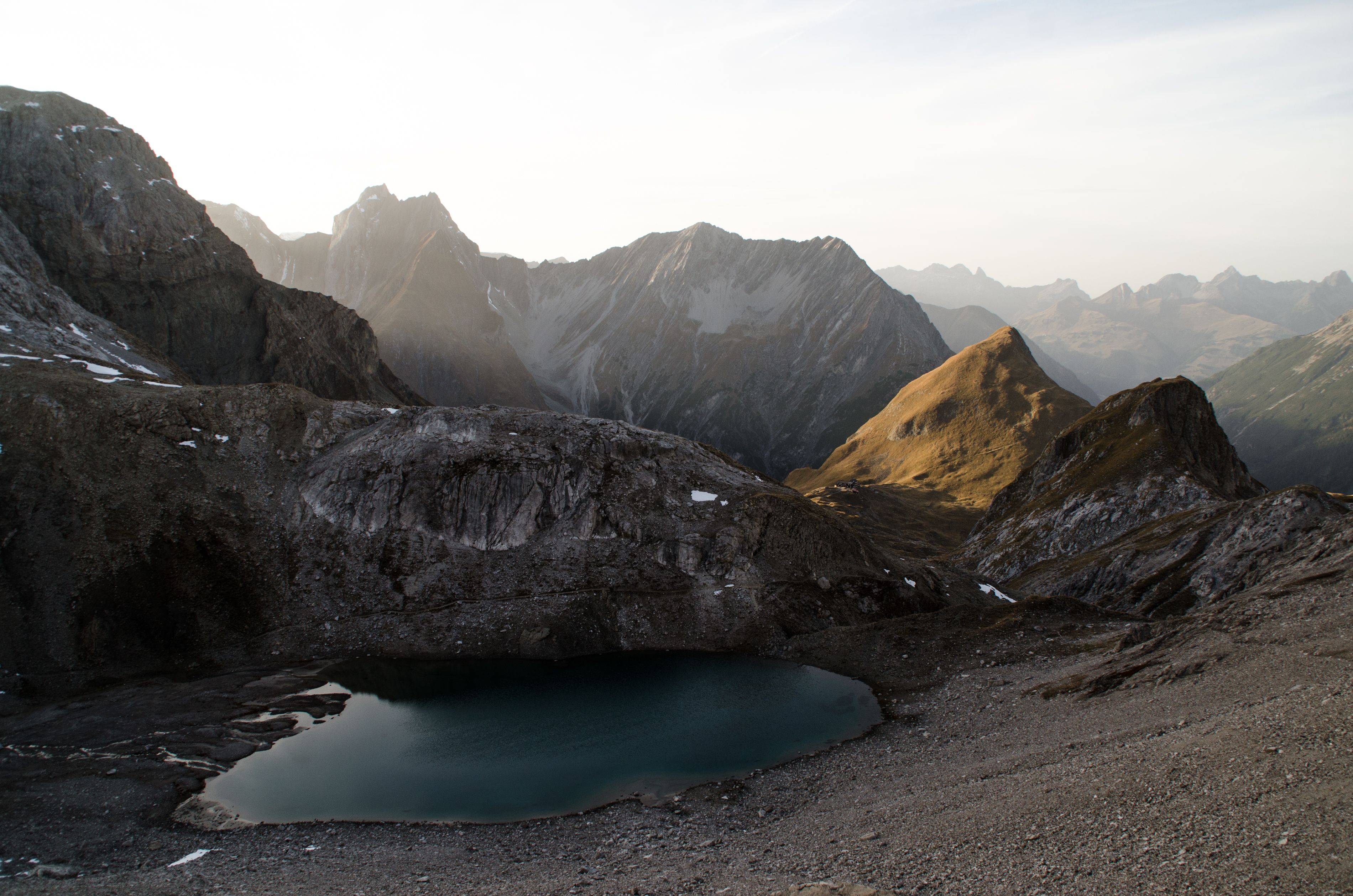
Hiking in the Lechtal Alps, © Tirol Werbung/Dominik Gigler

E5 Long-Distance Hiking Trail

Three countries, six valleys and countless summits. This classic alpine crossing along the E5 hiking trail comprises six stages taking walkers from Oberstdorf through Tirol to Meran/Merano in Italy. As hikers make their way south, the landscape changes from high alpine terrain with peaks over 3,000m to warmer climes where palm treees grow. From start to finish the hike has 10,000 vertical metres of ascent spread over 180 kilometres through the Allgäu Alps, the Lechtal Alps and the Ötztal Alps. Stages two to six are either partially or completely in Tirol.

This hike from the southernmost corner of Germany across Austria to Italy is a serious undertaking and requires hiking experience and good fitness levels. Each stage involves between five and nine hours of hiking on sometimes challenging mountain paths. However, the views and experiences along the way more than make up for all that hard work!

Open interactive map

Starting point  

Oberstdorf

Finishing point

Meran

Mountain chain

Allgäu Alps

Lechtal Alps

Ötztal Alps

Length

104 km

Duration

6 day(s)

Features

  • Wheelchair-accessible Hiking Route
  • Circular hike

Difficulty rating

difficult (black trails)

Altitude

3,080m 300m

Elevation uphill 4,950m
Vertical metres downhill 6,470m

Fitness level

Technique

Best time of year

Jan
Feb
Mar
Apr
May
Jun

Jul
Aug
Sep
Oct
Nov
Dec

* These are approximate values and recommendations. Please take your personal fitness level, technical ability and the current weather conditions into account. Tirol Werbung cannot guarantee that the information provided is correct and accepts no liability.

Public transport

  • Accessible using public transport

Parking

Several parking options in Oberstdorf

Downloads

Trail description

Stage 1: Oberstdorf – Kemptner Hütte
Walking time: 2.75 hours, distance: 6km, vertical metres uphill: 850m

The first stage of the E5 is relatively short and is a great warm-up for the adventure ahead. It takes hikers from Oberstdorf gently uphill to a small cable car used to transport supplies and materials. Head east at the cable car and continue through the beautiful Sperrbachtobel to the Kemptner Hütte hut.

Stage 2: Kemptner Hütte – Memminger Hütte
Walking time: 6 hours, distance: 14km, vertical metres uphill/downhill: 950/850m

From the Kemptner Hütte, head in a southerly direction to the Mädelejoch ridge, past the Kratzer and Muttlerkopf mountains. After around half an hour you will reach the Austrian border. Continue downhill into the Höhenbachtal Valley as far as the Roßgumpenalpe hut (food & drink served). Shortly after leaving the hut you cross the Roßgumpenbach stream and reach a wide trail leading through the Höhenbachtal Valley. Go past the Simms-Wasserfall waterfall down to the village of Holzgau in the Lechtal Valley. At the Gasthof Bären inn take the "Madautal-Taxi" shuttle service operated by the Feuerstein taxi company through the Madautal Valley to the small service cable car which supplies the Memminger Hütte hut. This taxi transfer enables hikers to avoid a ten-kilometre walk through the valley.

Behind the small cable car used to transport supplies and materials, cross the Parseier Bach stream and climb up a series of steep switchbacks onto the north-facing slopes of the Seekogel mountain. Cross the Sewibach stream and, above the waterfall, take the trail to Obere Leg (views of the Seekogel mountain). After another short uphill section you will reach the Memminger Hütte hut (2,242m).

Stage 3: Memminger Hütte – Zams – Larcheralm
Walking time: 9 hours, distance: 29km, vertical metres uphill/downhill: 450/2,100m

From the Memminger Hütte hut head in a south-easterly direction towards the Seescharte ridge, left past the "Untere Seewiese". Then stay left and head up onto the saddle, before continuing uphill to the Seescharte ridge (2,599m). From here there is a steep descent into the lush Lochbachtal Valley with spectacular views towards the Inn Valley and the Venetberg mountain.

The next points of interest along the route are the Oberlochalm hut and the Unterlochalm (1,580m), with the latter serving food and drink. Stay on the left-hand side of the Lochbach stream and head through a forest before crossing over the Lochbach and Medriolbach streams on a path leading through the Zammer Loch canyon. Please be aware that this section of the hike can be very hot in summer.

Then follow the many switchback corners down through the forest and over the motorwyay bridge and the Inn river to Zams, where hikers go past the church to the bottom station of the Venetbergbahn cable car. Take the gondola up to the top and from there cross the Langesberg Alpe to the Venet-Gipfelhütte hut and on to the Larcheralm hut (1,814m).

Stage 4: Larcheralm – Wenns – Braunschweiger Hütte
Walking time: 5 hours, distance: 14km, vertical metres uphill/downhill 1,000/900m

This stage starts with a downhill section from the Larcheralm hut to the hamlet of Wenns in the Pitztal Valley. From there, take the Postbus bus into the valley. The bus leaves from the Pitztaler Hof inn in Wenns and takes around an hour to get to Mittelberg. It is here that the 1,000-vertical-metre ascent to the Braunschweiger Hütte starts.

At the end of the Pitztal Valley the trail leaves from the bus stop in Mittelberg and takes hikers past the service cable car towards the Mittelbergferner glacier. The first section of the climb leads along the Pitze stream, past the Gletscherstüble inn and finally, heading in an easterly direction, up along a series of switchbacks to the Braunschweiger Hütte hut (2,759m) in the Ötztal Alps.

Stage 5: Braunschweiger Hütte – Vent
Walking time: 6 hours, distance: 18km, vertical metres uphill/downhill: 600/1,420m

From the Braunschweiger Hütte the route takes hikers through glacial-alpine terrain up onto the Rettenbachjoch ridge of, alternatively, onto the Pitztaler Jöchl ridge (2,996m). Both variations lead to the Rettenbachferner Restaurant, where a shuttle bus operating once an hour takes hikers along the Ötztal Glacier Road through the Rosi Mittermaier Tunnel to the Restaurant Tiefenbachferner. From there the hike continues along the Ötztaler Höhenweg trail with fabulous views of Vent and the surrounding landscape. The trail continues above the idyllic Venter Tal Valley past the Weißkarsee lake and many grazing sheep and goats gently downhill to the village of Vent (1,895m).

Stage 6: Vent – Obervernagt – Meran/Merano
Walking time: 7 hours, distance: 23km, vertical metres uphill/downhill: 1,100/1,200 metres

The final stage of the E5 long-distance hiking trail takes us from Vent in the Ötztal Valley to the town of Meran/Merano in Italy. The day starts with a lung-busting 1,000 vertical metres of climbing, starting in Vent and leading for around 2.5 hours up to the Martin Busch Hütte hut (2,501m), where hikers can stop off for a meal.

The second half of the stage initially takes hikers up onto the Similaunjoch ridge marking the border between Austria and Italy. The Similaunhütte hut (3,019m) is the highest point on the E5 trail. From here it is downhill all the way to Meran/Merano, first on foot to the Vernagt-Stausee reservoir and then, from Obervernagt, by bus to Meran/Merano.

Arrival date

How to get here by plane, train, bus or car.

Ihr Ziel: E5 Long-Distance Hiking Trail (47.347433,10.304925)

powered by Rome2Rio

Search accommodation

Number of travelers

Hiking trails in this region

show more +

How did you like this article?

Want to receive an answer? If so, please get in touch using the contact form.

Go up

Is your inbox in need of a holiday?

Then subscribe to our weekly newsletter full of exclusive holiday tips from Tirol!