
Opening hours:closed
Difficulty:easy
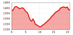
Length:4.7 kmElevation uphill:37 m:Style: Skating, Classic
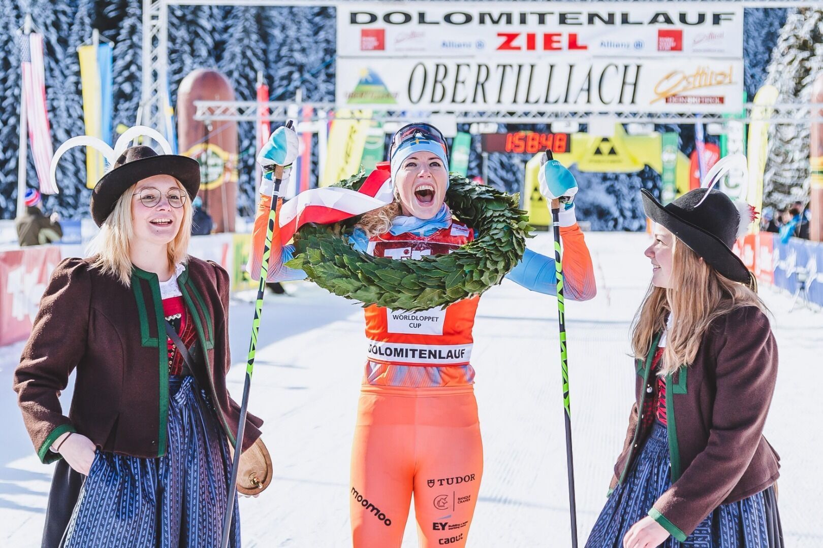
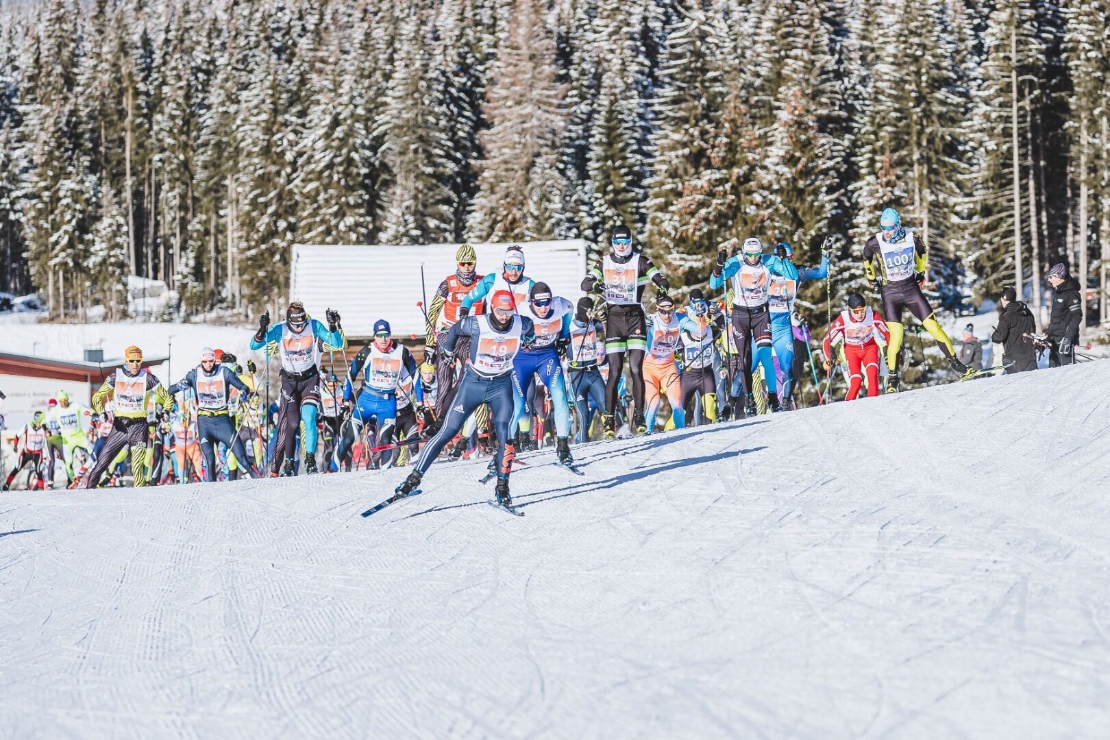
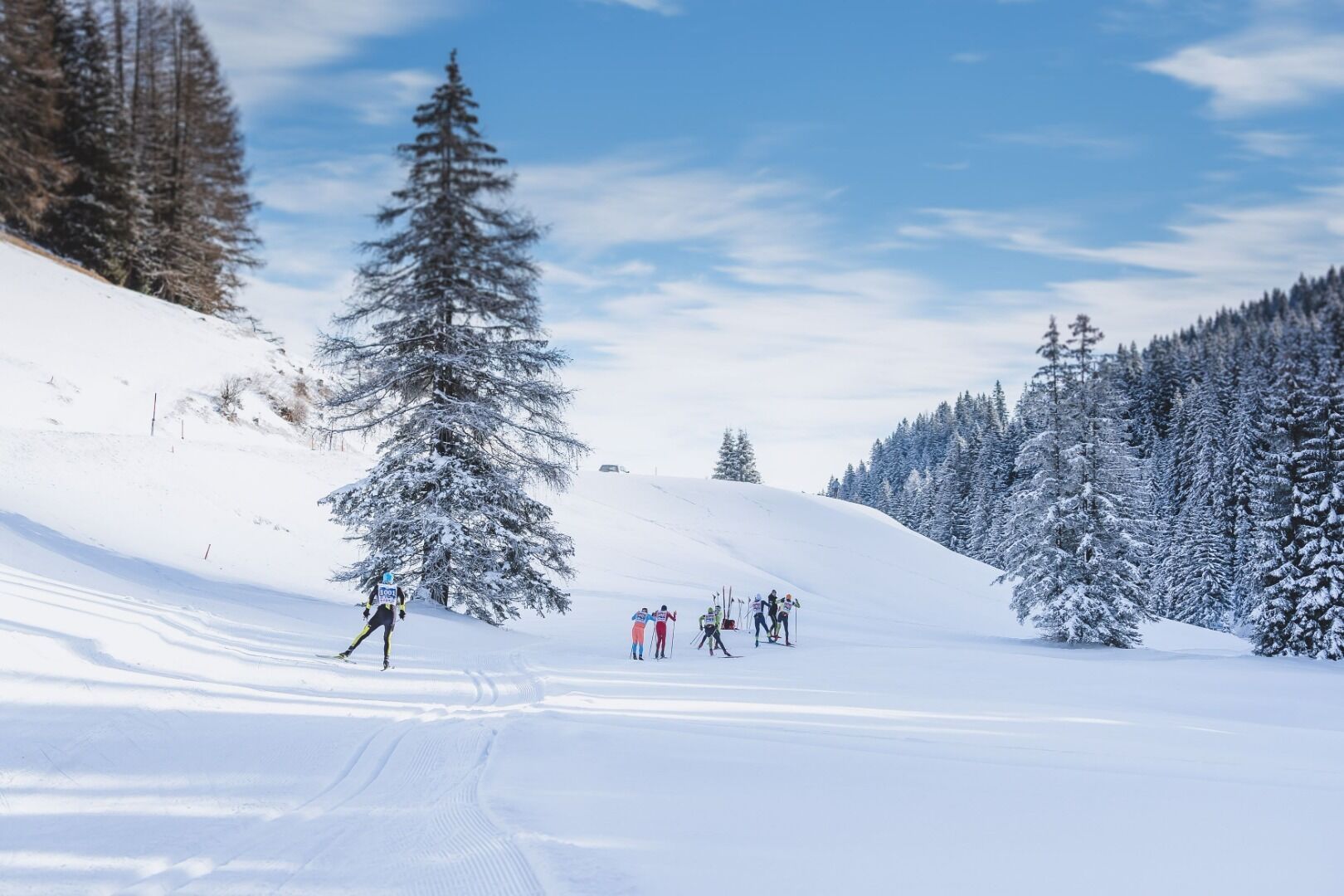
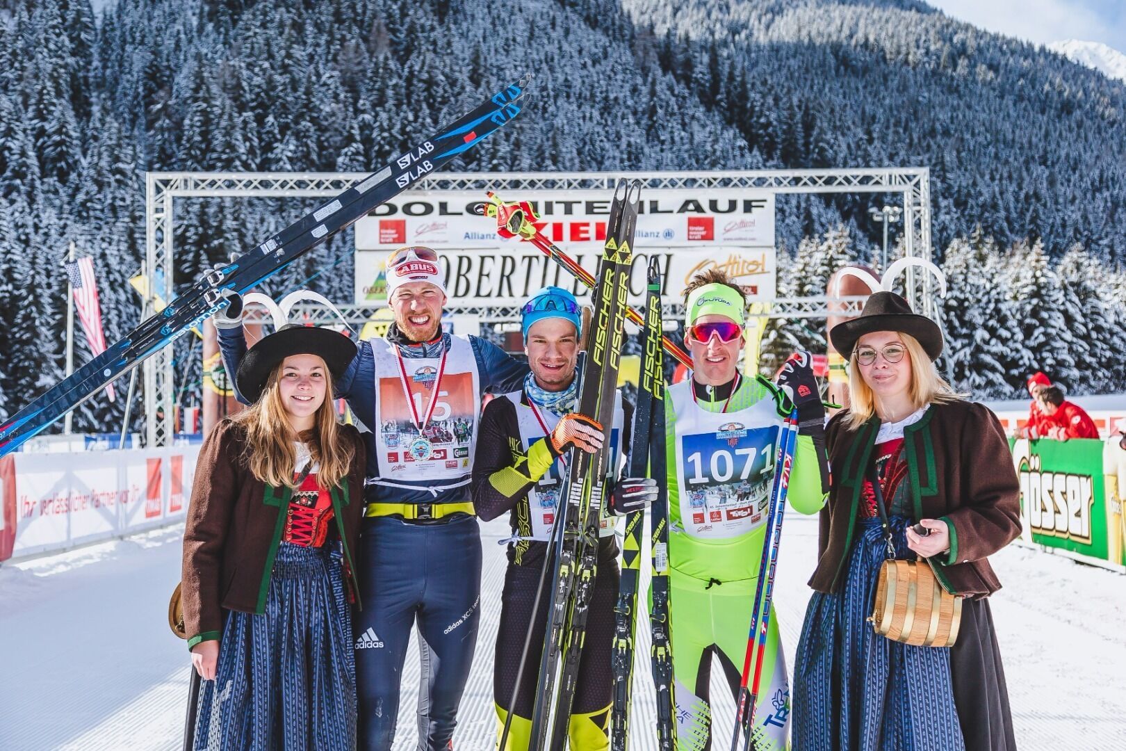
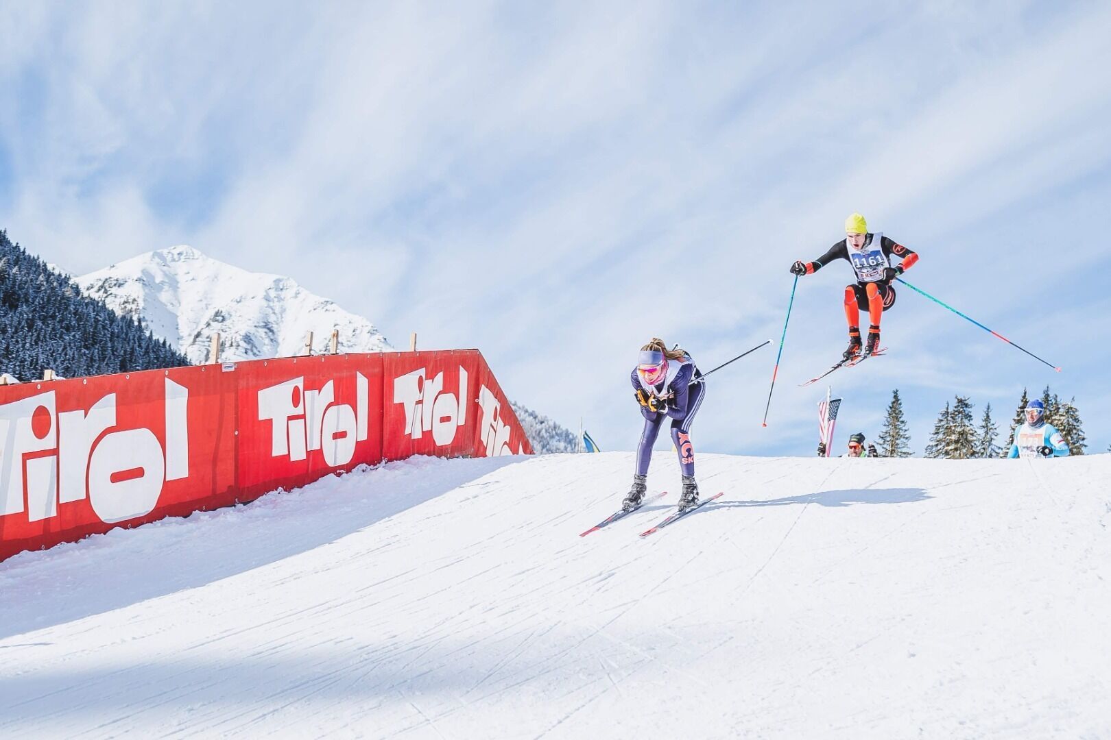
The scenic trail leads from the Obertilliach biathlon center across meadows and along the Gail river to Untertilliach. The route includes a total ascent of 230 meters per lap and is run twice for the marathon distance.


.jpg")

.JPG")
.jpg")

.JPG")


.jpg")

.jpg")


