
Opening hours:Today closed
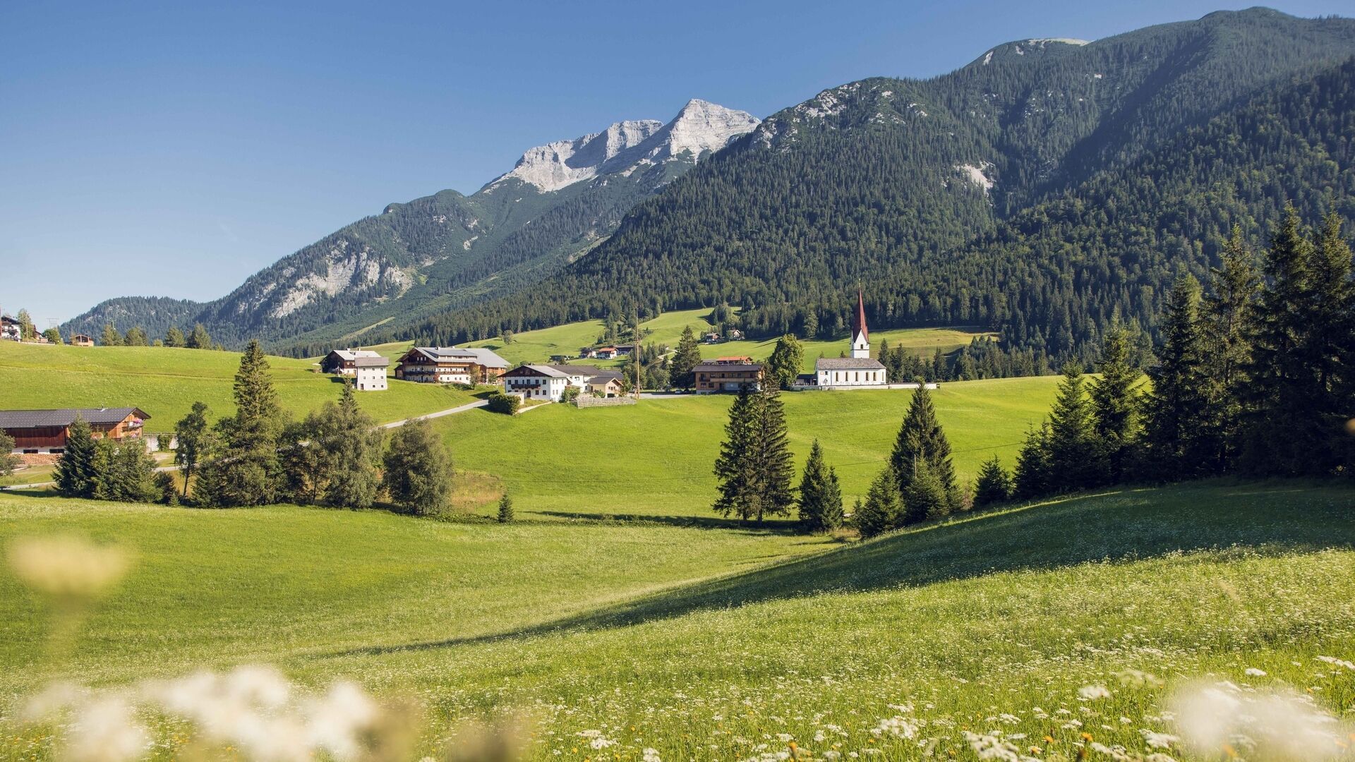
Place:Steinberg am Rofan
:Restaurant
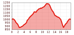
MTB circular route in Steinberg am Rofan: 19.4km with 437 metres of elevation gain along the Steinberger Ache and via the Durrahof.
From the starting point follow the asphalt road in the direction of Durrahof (not serviced). At the stream Steinberger Ache turn right and follow the wide forest road. The route continues alongside the Steinberger Ache. At the second junction, turn left and continue to Durrahof via Tannegg. Take the asphalt road back to the “Loch” and follow the same road that you took on the ascent back to the starting point.
Note: The distance indicated is for the complete loop.
Turn off the Achensee main road (B181) in Achenkirch in the direction of Steinberg am Rofan. Follow the L221 Steinberg state road for just under 9km until you reach Steinberg am Rofan. The Waldhäusl car park is signposted on the left-hand side of the road just after the village sign.
Car park Waldhäusl in Steinberg am Rofan (paid parking)

.jpg")
