Handbike ride Achenkirch - Pertisau

Pertisau am Achensee / Brandenberg Alps (Rofan)
Difficulty ratings: medium
Route length: 13.5 km
Duration: 1:00 h

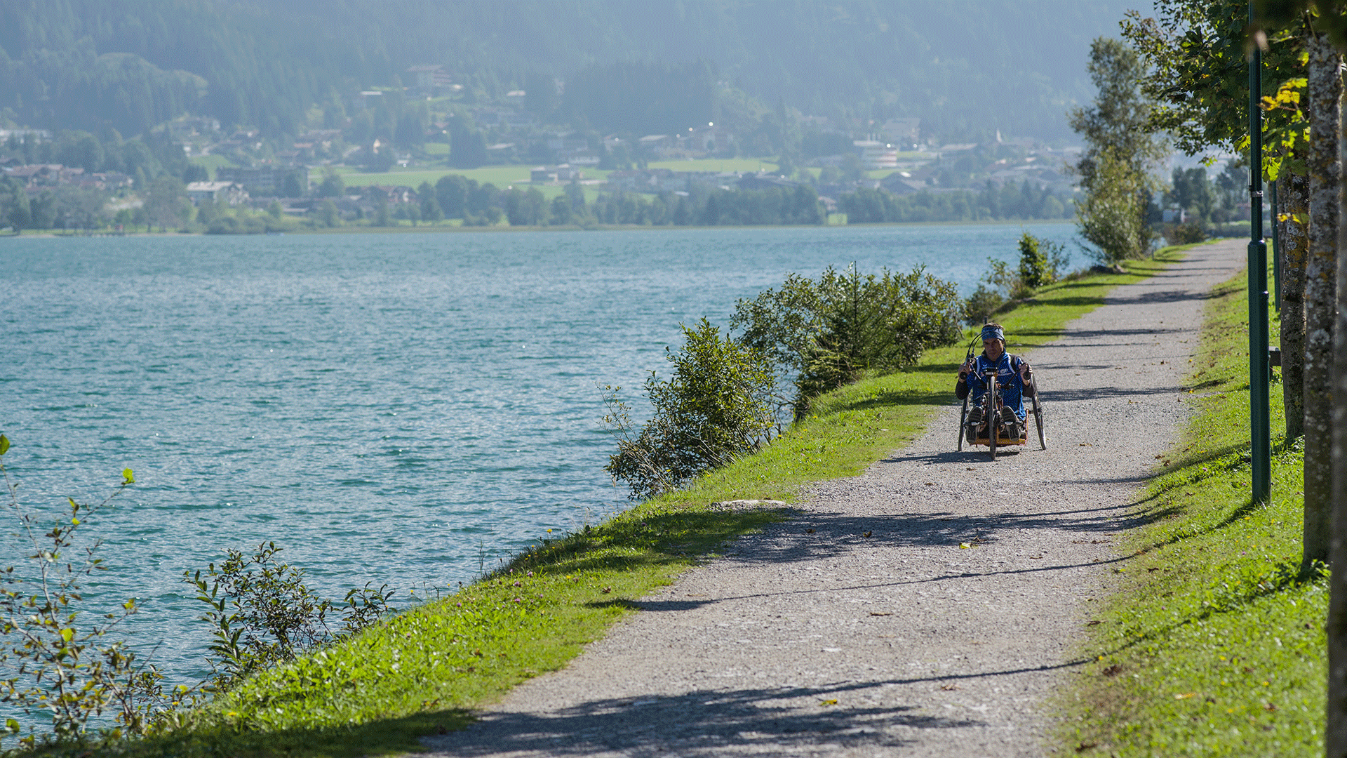
Easy, scenic route along the shores of Lake Achensee - tested for hand biking.

Tour character

  • guided route along the Achensee
  • relaxed return journey on the Achensee boat

Tour information

  • Requirement: medium
  • Length: 13.5 km
  • Duration: 1:00 h
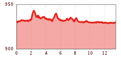
  • Elevation uphill:35 hm
  • Elevation downhill:30 hm
Highest point950 m

Starting point

Achenkirch, Sixenhof local history museum

Finishing point

Pertisau

Best time of year

  • January
  • February
  • March
  • April
  • May
  • June
  • July
  • August
  • September
  • October
  • November
  • December

Trail condition

100% asphalt
Source: Achensee Tourismus

Description

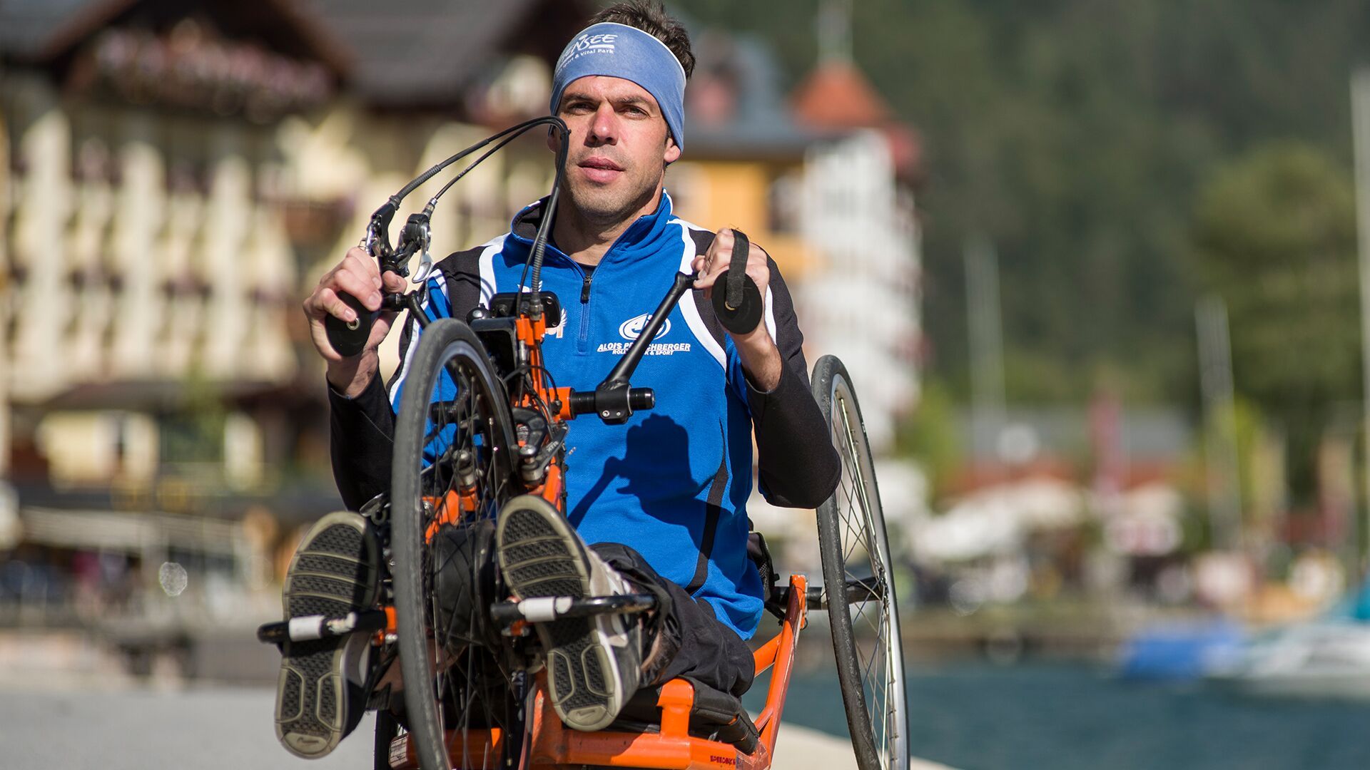
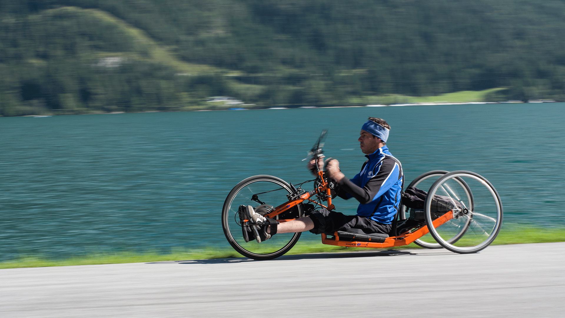
Starting at the Sixenhof local history museum in Achenkirch, this route follows the lakeside path to Pertisau, which is the halfway point. Alternatively, you can take a relaxing boat trip back to Achenkirch. This route has been officially approved for hand bikes as part of a project by Tirol Werbung.

Nearby huts and mountain restaurants

  • PostBar & Bistro

    Opening hours:Open today
    Place:Pertisau am Achensee
    :Restaurant, Snack bar / StreetFood, café:Breakfast, vegetarian, vegan
  • Achensee Stüberl

    Opening hours:Open today
    Place:Achenkirch am Achensee
    :Restaurant, café:Breakfast, vegan
  • Seehotel Einwaller

    Opening hours:Open today
    Place:Pertisau am Achensee
    :Restaurant, café:Breakfast, vegetarian, vegan
  • Lagoon - Atoll Achensee

    Opening hours:Open today
    Place:Maurach am Achensee
    :Restaurant:Breakfast, vegetarian
  • Beach Bar Buchau

    Opening hours:Open today
    Place:Maurach am Achensee
    :Snack bar / StreetFood

Getting here

  • Parking

    Sixen - Liegewiese West car park (paid parking)

More tours in the surrounding area

  • Handbike ride Pertisau - Falzthurnalm

    Difficulty:difficult
    Length:3.3 kmDuration:1:00 hElevation uphill:105 m
  • 401 | Zillertaler Höhenstraße

    Difficulty:difficult
    Length:52.6 kmDuration:7:40 hElevation uphill:1,890 m
  • Ehrwalder Alm Seebensee

    Difficulty:medium
    Length:9.0 kmDuration:2:30 hElevation uphill:630 m
  • Bifang Tour

    Opening hours:open
    Difficulty:easy
    Length:10.4 kmDuration:1:00 hElevation uphill:320 m
  • Lichte Trail 882

    Opening hours:open
    Difficulty:difficult
    Length:3.4 kmDuration:0:15 hElevation uphill:5 m
  • Rolli-Wanderung Gepatschhaus

    Length:8.5 kmDuration:1:45 hElevation uphill:156 m
  • Handbike Route Kaunertaler Gletscher

    Difficulty:difficult
    Length:27.5 kmDuration:4:00 hElevation uphill:1,500 m
  • OD Trails

    Opening hours:open
    Difficulty:medium
  • Klammljoch - Defereggental No. 102

    Difficulty:medium
    Length:22.0 kmDuration:3:30 hElevation uphill:946 m
  • Darmstädter Hütte

    Difficulty:difficult
    Length:25.5 kmDuration:4:00 hElevation uphill:1,110 m
  • Supernatural

    Opening hours:open
    Difficulty:medium
    Length:610 m
  • Angereralm - Harschbichl

    Opening hours:closed
    Difficulty:medium
    Length:18.2 kmDuration:2:00 hElevation uphill:942 m
  • Brixental cycling tour Nr. 21

    Difficulty:easy
    Length:46.7 kmDuration:3:30 hElevation uphill:450 m
Newsletter

The mountain is calling? So does our newsletter!

In our monthly newsletter we reveal the best holiday tips for Tyrol.