Mountainbike-Tour 435 Feilkopf

Eben am Achensee / Karwendel
Difficulty ratings: medium
Route length: 8.3 km
Duration: 2:00 h

Tour information

  • Requirement: medium
  • Length: 8.3 km
  • Duration: 2:00 h
  • Elevation uphill:580 hm
  • Elevation downhill:30 hm
Highest point1,562 m

Starting point

Pertisau, car park at the entrance to the Karwendel valleys

Finishing point

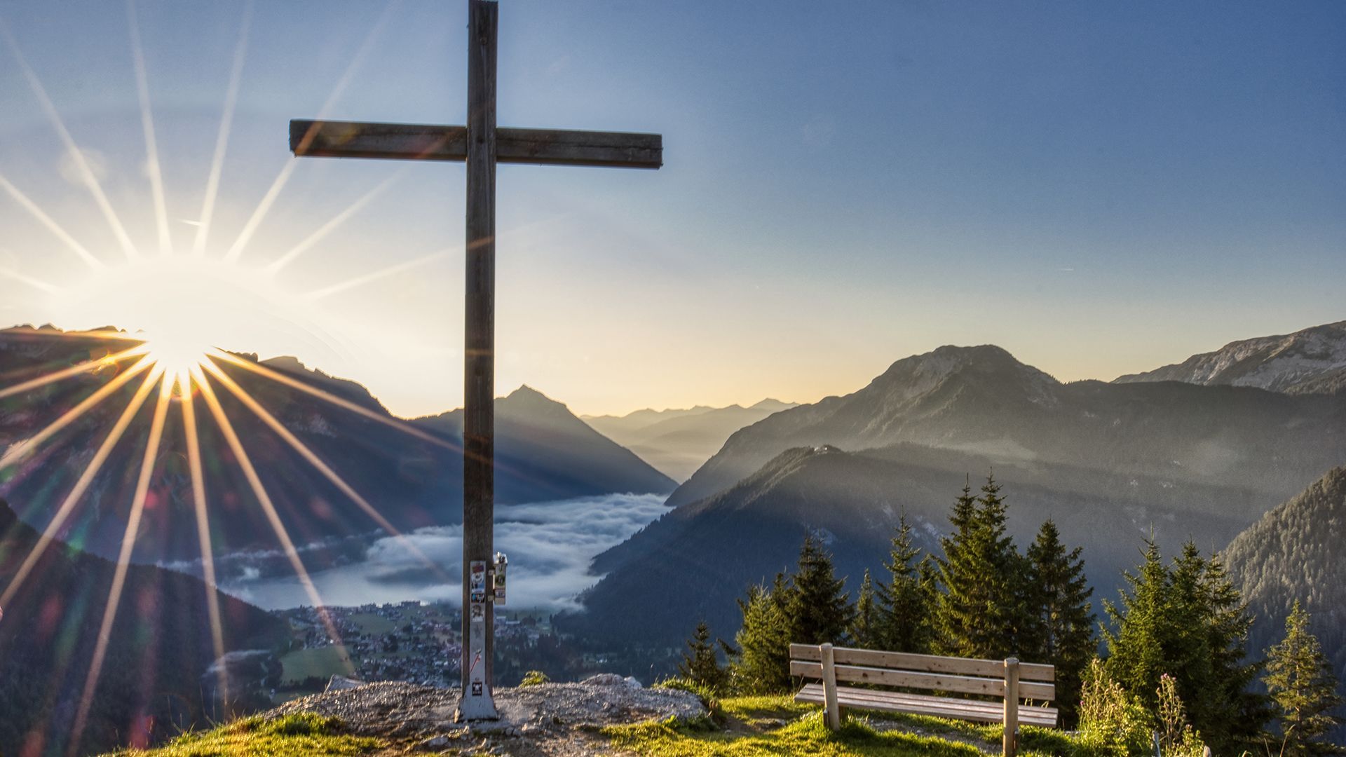
Feilkopf, 1,562 metres
  • Fitness level 3 / 6
  • Technique 3 / 6

Best time of year

  • January
  • February
  • March
  • April
  • May
  • June
  • July
  • August
  • September
  • October
  • November
  • December

Trail condition

asphalt and gravel road

Equipment

Breathable weather appropriate clothing, helmet, gloves, sunglasses, maps, repair kit and tools. For tours without opportunities for refreshments, make sure to pack sufficient food and drink.
Source: Achensee Tourismus

Description

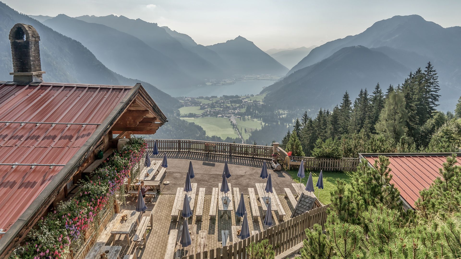
The route leads from the entrance of the Karwendel valleys via the asphalt toll road to the Gerntal. Cycle past the junction to the Pletzachalm to the next junction. Turn left to the Feilalm (serviced). From there, a wide forest road climbs to the Feilkopf. Just a little before the Feilkopf, a forest road on the left leads to the Gütenbergalm (not serviced). From there, the route leads back to the junction and to the summit (1,562 metres). 

Note: The distances given indicate the length of the one-way route, as shown on the map and in the elevation profile.

Nearby huts and mountain restaurants

  • Gütenbergalm

    Opening hours:closed
    Place:Pertisau am Achensee
    :Alpine pasture / hut / mountain restaurant
  • Alpengasthaus Pletzachalm

    Opening hours:Today closed
    Place:Pertisau am Achensee
    :Restaurant, Alpine pasture / hut / mountain restaurant
  • Feilalm

    Opening hours:closed
    Place:Pertisau am Achensee
    :Alpine pasture / hut / mountain restaurant
    see restaurant details: Feilalm

Getting here

  • Arrival by public transport

    Take the regional bus (line 8332 or 390) to Pertisau and get off at the "Pertisau Karwendeltäler" stop.

  • Parking

    Take the B181 main road to Maurach and turn off in the direction of Pertisau. At the entrance to Pertisau, take the first road on the left uphill towards Karwendel-Bergbahn, pass it and follow the road straight ahead until you reach the large car park at the entrance to the Karwendel valleys (Nature Park Karwendel).
    Karwendeltäler car park in Pertisau (paid parking)

More tours in the surrounding area

  • Handbike ride Pertisau - Falzthurnalm

    Difficulty:difficult
    Length:3.3 kmDuration:1:00 hElevation uphill:105 m
  • 465 Rund um den Guffert

    Difficulty:medium
    Length:41.0 kmDuration:6:00 hElevation uphill:990 m
  • Buchau - Gramaialm

    Difficulty:easy
    Length:32.9 kmDuration:3:00 hElevation uphill:540 m
Newsletter

The mountain is calling? So does our newsletter!

In our monthly newsletter we reveal the best holiday tips for Tyrol.