
Opening hours:Today closed
Place:Steinberg am Rofan
:Restaurant
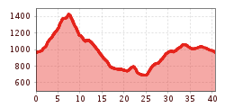
41km MTB day tour around the Guffert. Starting at Köglboden car park between Achenkirch and Steinberg, the route leads via Gufferthütte and Kaiserhaus.
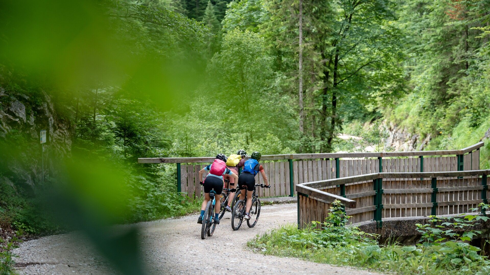
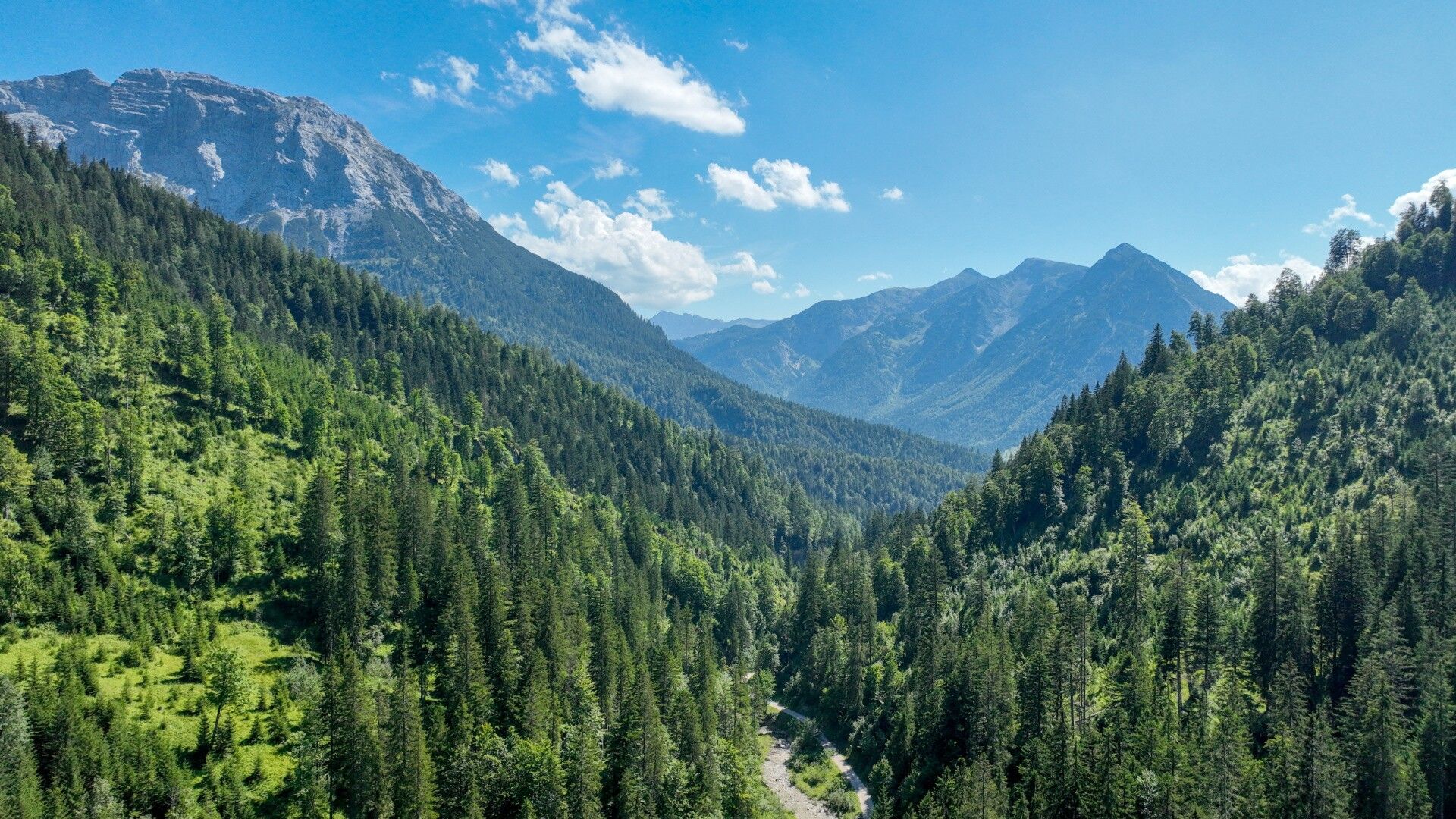
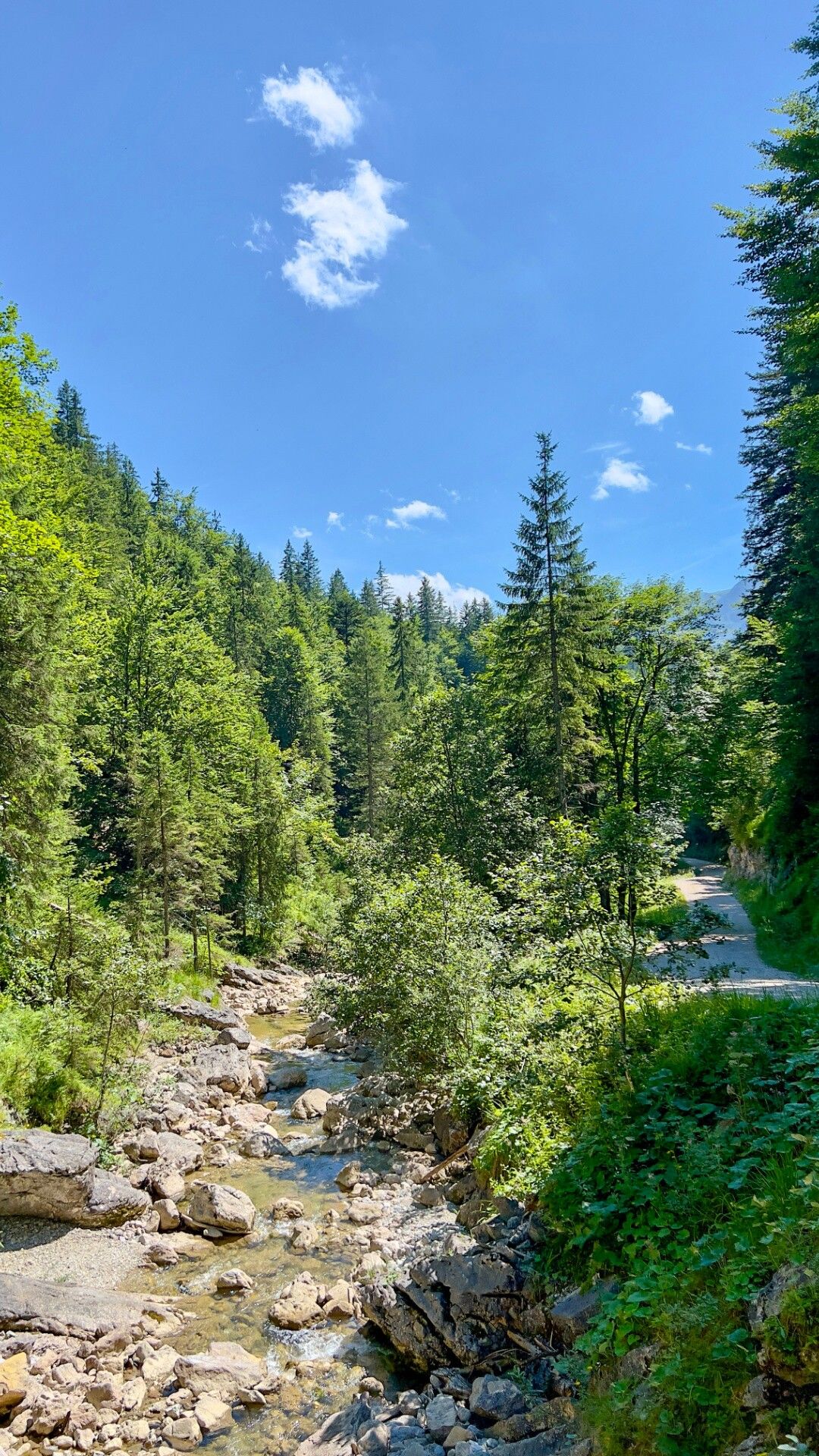
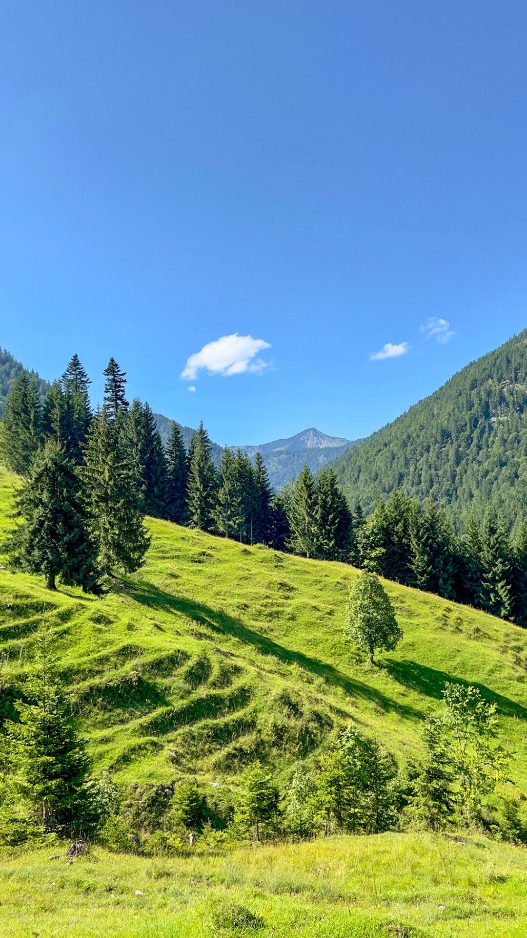
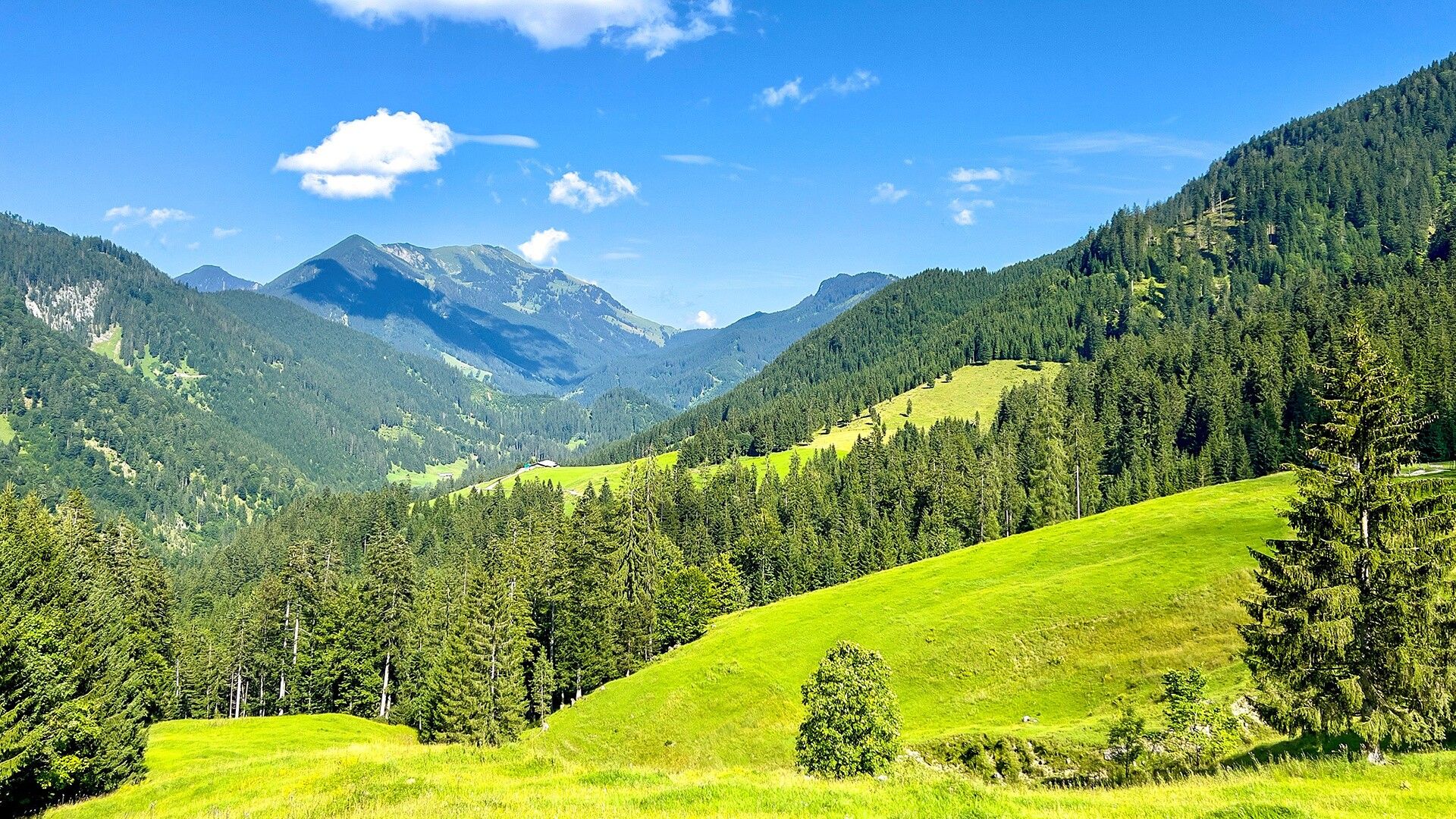
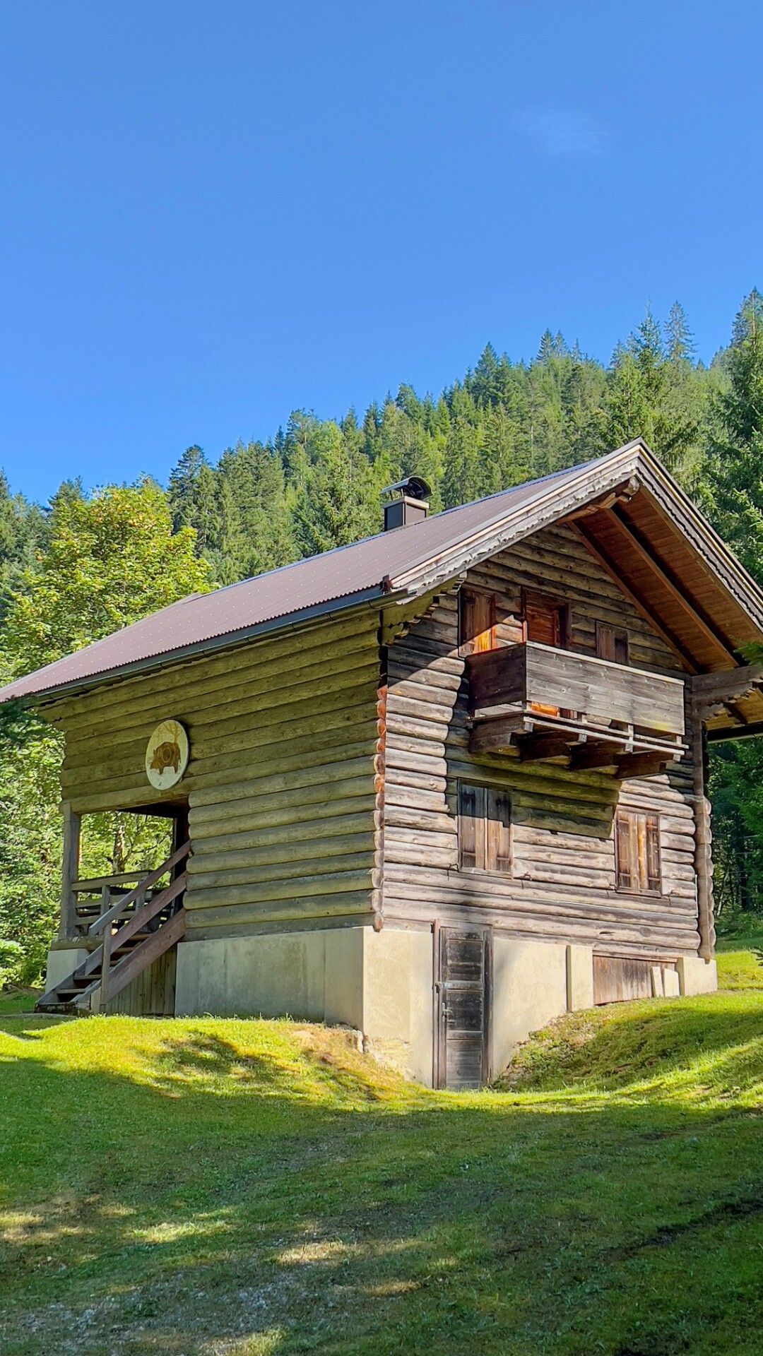
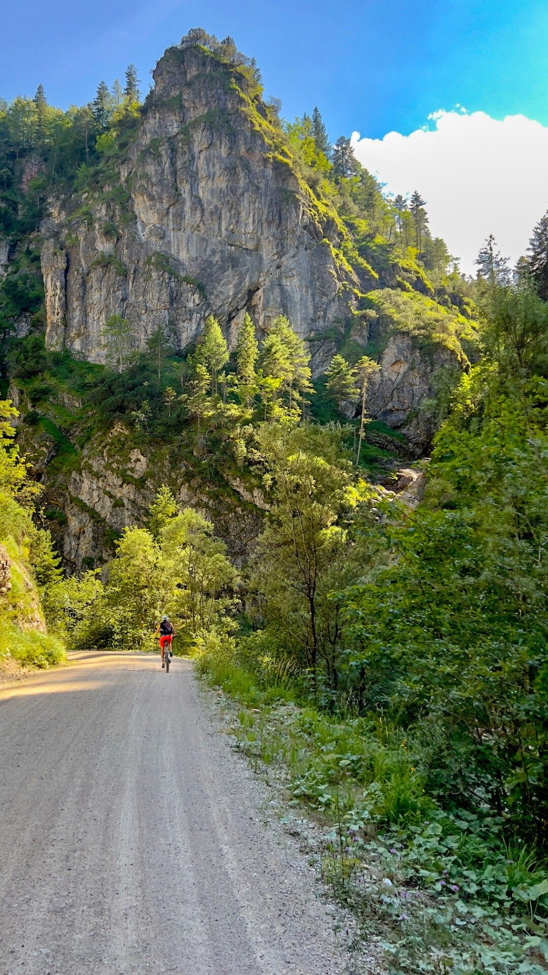
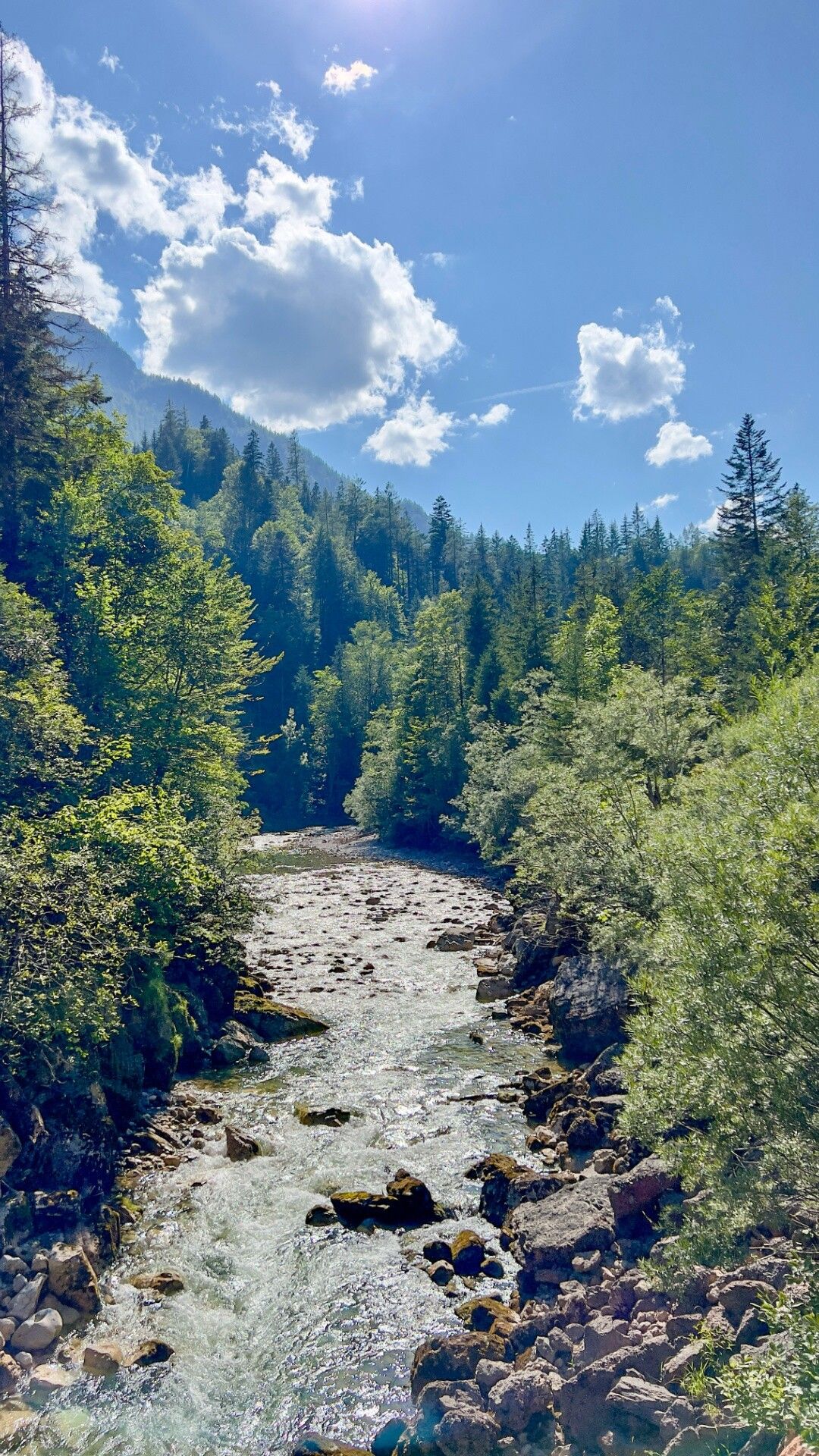
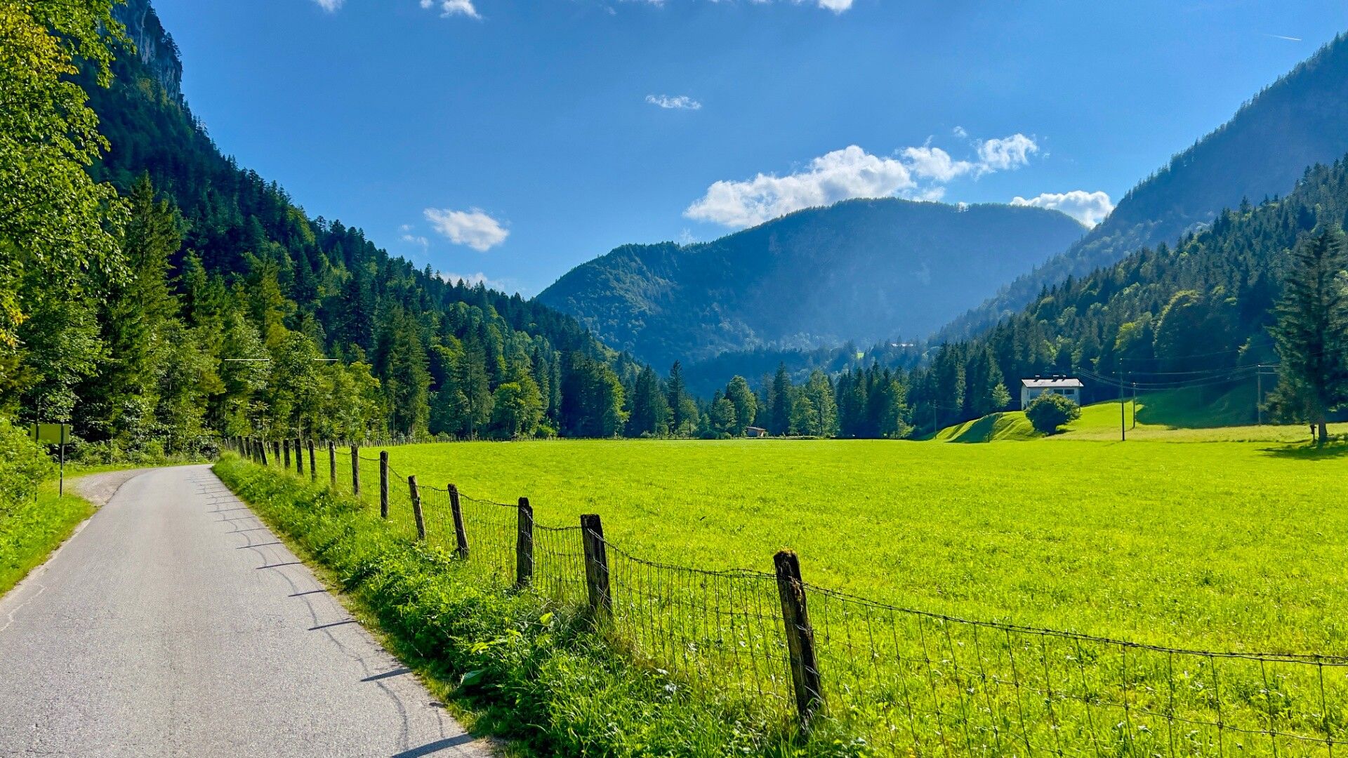
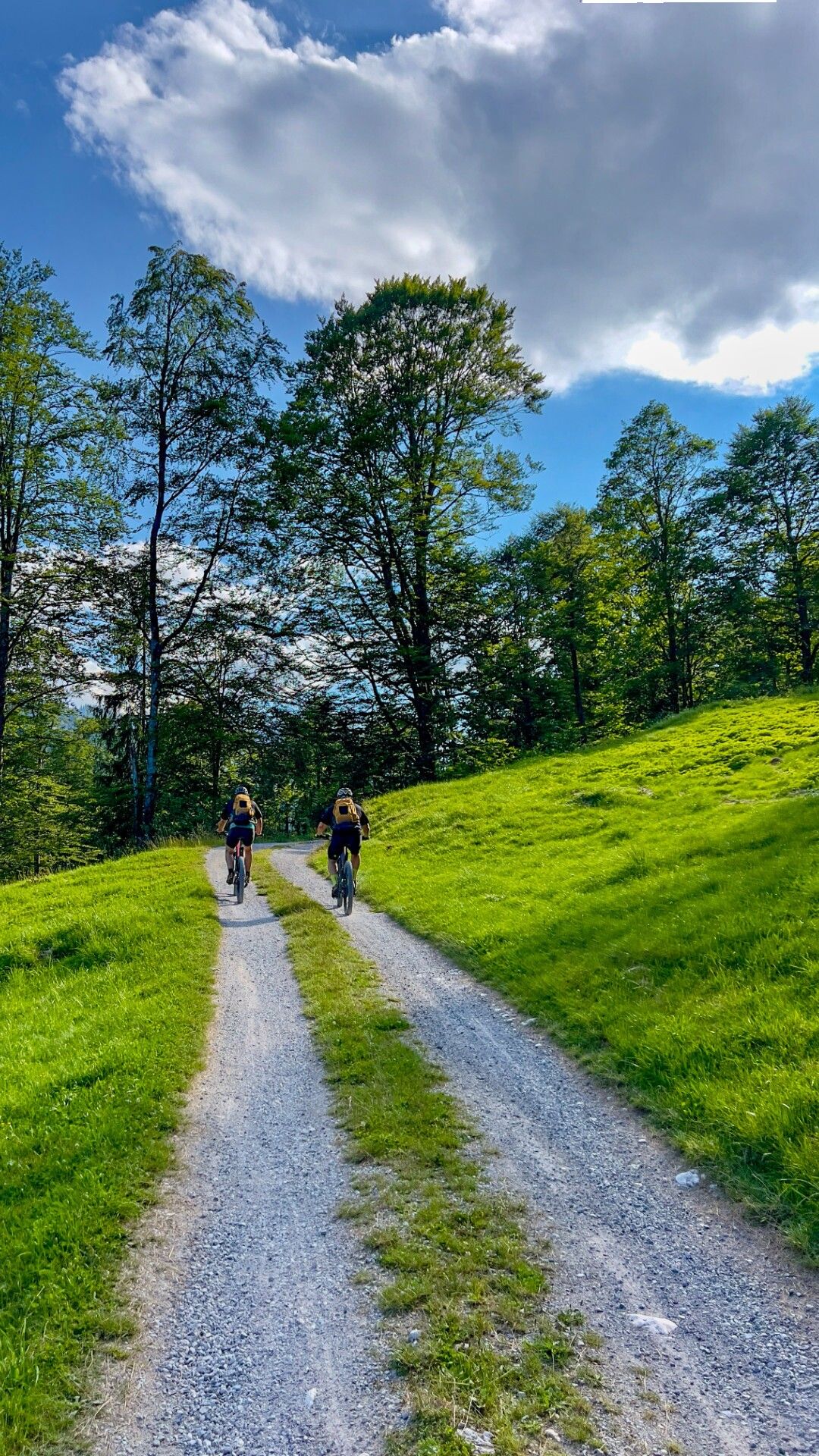
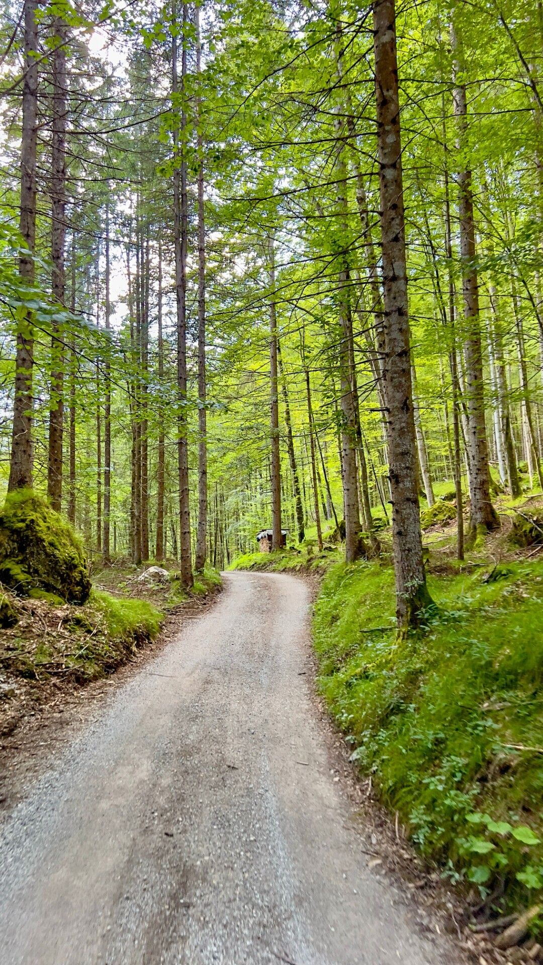
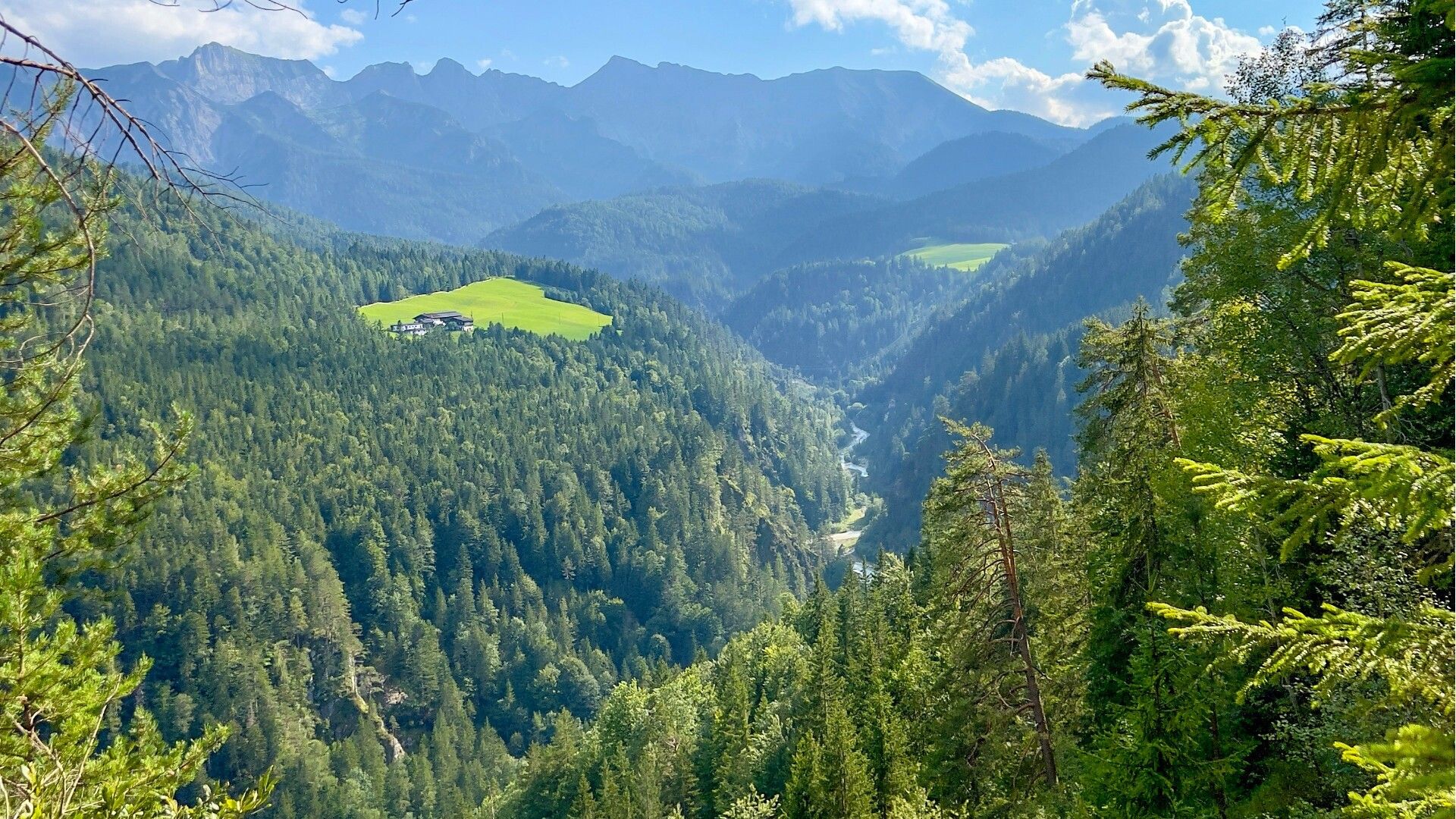
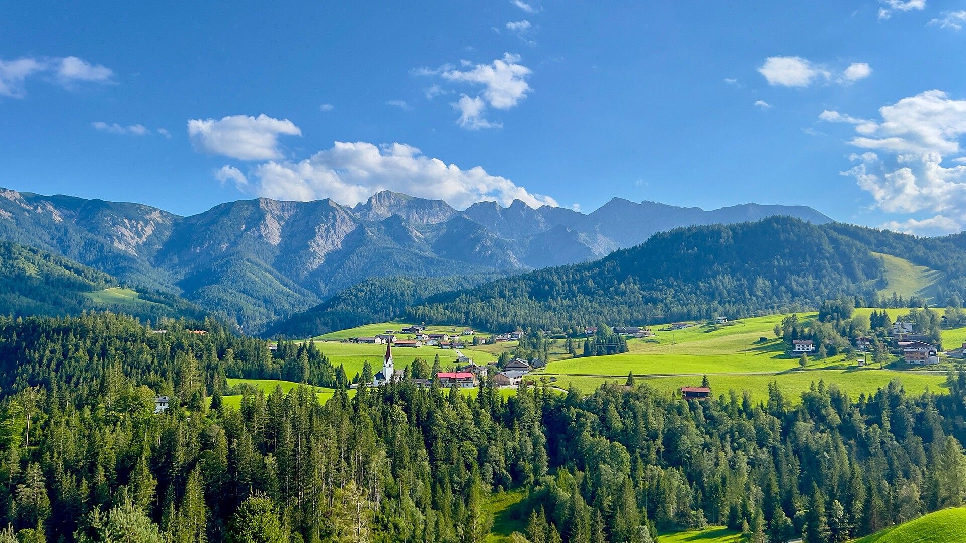
From the starting point the route follows the forest road alongside the Ampelsbach stream. Underneath the Gufferthütte (serviced, route 407) – follow the signs Kaiserhaus/Pinegg to Kaiserhaus (serviced). The route continues over a gravel road back to the starting point via Steinberg am Rofan.
Note: The distance indicated is for the complete loop.
Take the regional bus (line 4080 to Achenkirch, then line 7801 to Steinberg am Rofan) and get off at the "Achenkirch Abzw Gufferthütte" stop near the Köglboden car park.
Köglboden car park in Steinberg am Rofan (paid parking)


.jpg")
