
Opening hours:Open today
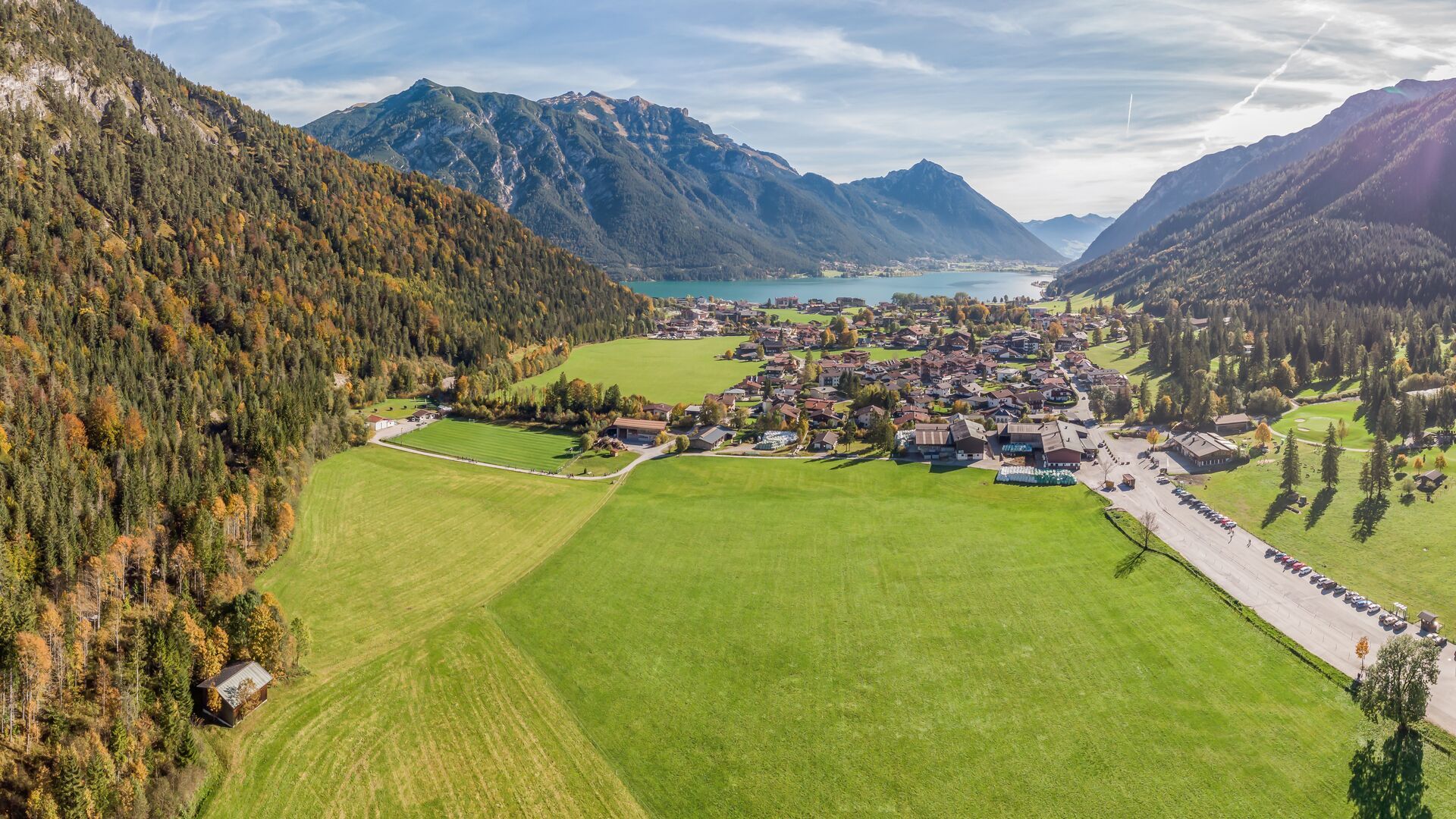
Place:Pertisau am Achensee
:Restaurant, café:vegetarian, vegan
Handbike ride Pertisau - Falzthurnalm
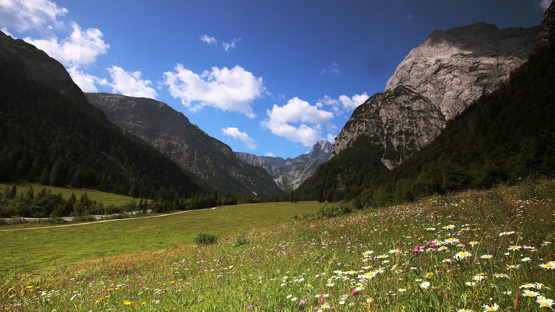
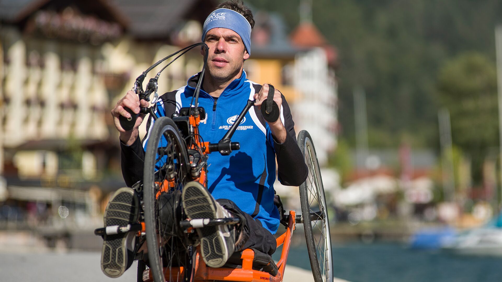
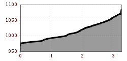
The route starts at the car park at the entrance to the Karwendel valleys. After approx. 300 metres, keep left and follow the well-surfaced path. At the next junction, turn left again and continue for about one kilometre to reach the Falzthurnalm. The return is via the same route.
The trail leads through light spruce forest deep into the Falzthurntal valley. The surrounding mountains feel impressively close along this short and manageable route.
Car park Karwendeltäler (charges apply)


-min.jpg")
Erwin Haiden, bikeboard.at.jpg")


")


Andi Frank (247).jpg")

")


.jpg")
.jpg")

