Cycle tour 13 Zillertal-Radweg

Strass im Zillertal / Tux Alps
Difficulty ratings: easy
Route length: 30.5 km
Duration: 2:00 h

The route along the course of the Ziller river is easy to navigate and offers numerous excursion destinations such as the Erlebnistherme Zillertal thermal spa, the adventure park with natural high ropes course and the Zell leisure park. Shortcuts or a return trip with the Zillertalbahn, including historic steam trains, are also possible.

Tour character

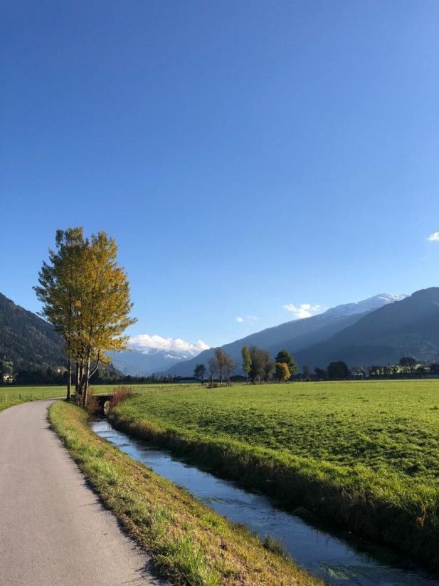
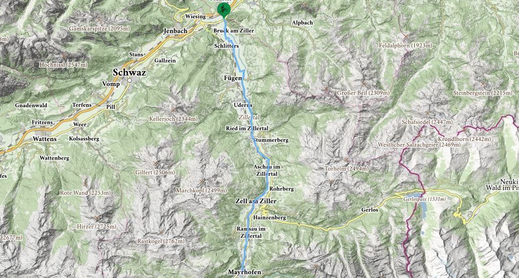
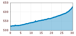
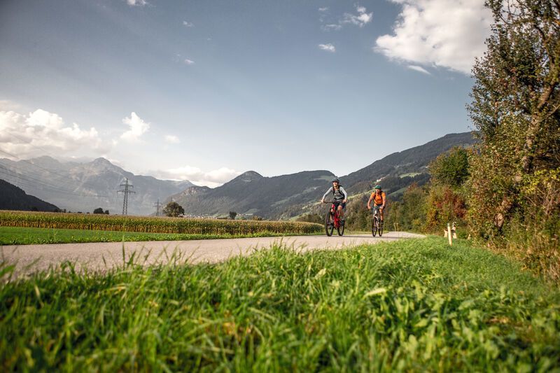
The Zillertal Cycle Path is the perfect tour for families with children and those returning to cycling. On 31 kilometers you roll comfortably through the wide and sunny valley floor along the Ziller from Mayrhofen to Strass. The easy route with an altitude difference of 140 meters leads mostly on asphalt or gravel past several well-known places.
Tour information

  • Requirement: easy
  • Length: 30.5 km
  • Duration: 2:00 h
  • Elevation uphill:125 hm
  • Elevation downhill:20 hm
Highest point630 m

Trail condition

mostly asphalted, only short distances gravel
Source: Zillertal Tourismus GmbH

Description

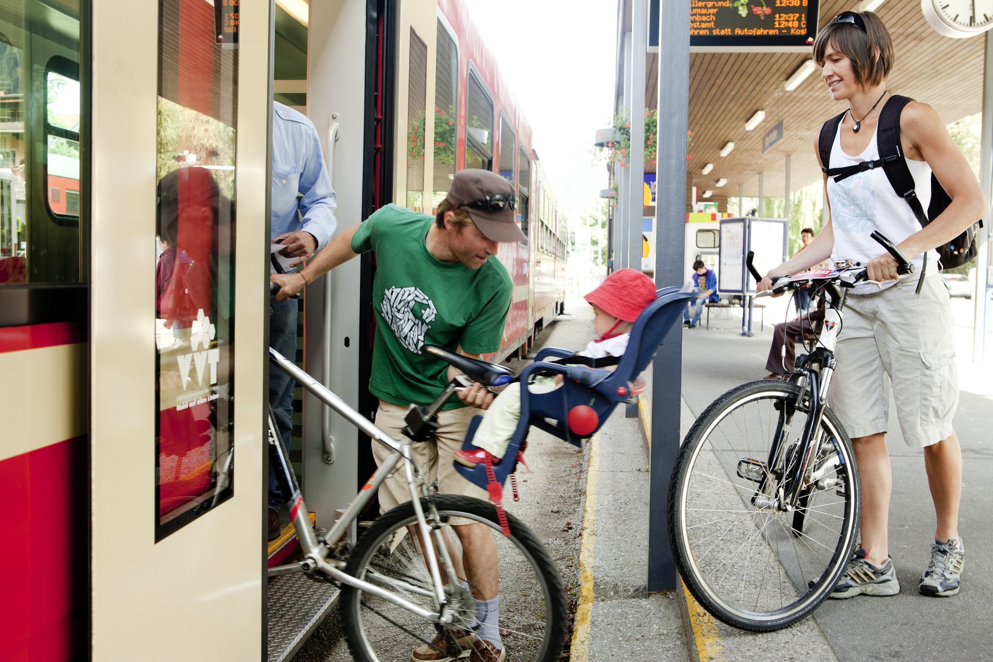
An easy family-friendly route without any steep gradients worth mentioning. Start from Strass on the left bank of the Ziller and continue to Schlitters and along the wide valley floor through Fügen and Uderns to Kaltenbach. After passing under the Zillertal-Bundesstrasse, the well-marked route generally follows the Zillertalbahn railway line. The train company Zillertalbahn offers a bike transport. Bike rental is possible in the bigger train stations as well as in several privat bike rentals in the valley.

More tours in the surrounding area

  • Handbike ride Pertisau - Falzthurnalm

    Difficulty:difficult
    Length:3.3 kmDuration:1:00 hElevation uphill:105 m
  • 401 | Zillertaler Höhenstraße

    Difficulty:difficult
    Length:52.6 kmDuration:7:40 hElevation uphill:1,890 m
  • Ehrwalder Alm Seebensee

    Difficulty:medium
    Length:9.0 kmDuration:2:30 hElevation uphill:630 m
  • Bifang Tour

    Opening hours:open
    Difficulty:easy
    Length:10.4 kmDuration:1:00 hElevation uphill:320 m
  • Lichte Trail 882

    Opening hours:open
    Difficulty:difficult
    Length:3.4 kmDuration:0:15 hElevation uphill:5 m
  • Rolli-Wanderung Gepatschhaus

    Length:8.5 kmDuration:1:45 hElevation uphill:156 m
  • Handbike Route Kaunertaler Gletscher

    Difficulty:difficult
    Length:27.5 kmDuration:4:00 hElevation uphill:1,500 m
  • OD Trails

    Opening hours:open
    Difficulty:medium
  • Klammljoch - Defereggental No. 102

    Difficulty:medium
    Length:22.0 kmDuration:3:30 hElevation uphill:946 m
  • Darmstädter Hütte

    Difficulty:difficult
    Length:25.5 kmDuration:4:00 hElevation uphill:1,110 m
  • Supernatural

    Opening hours:open
    Difficulty:medium
    Length:610 m
  • Angereralm - Harschbichl

    Opening hours:closed
    Difficulty:medium
    Length:18.2 kmDuration:2:00 hElevation uphill:942 m
  • Brixental cycling tour Nr. 21

    Difficulty:easy
    Length:46.7 kmDuration:3:30 hElevation uphill:450 m
Newsletter

The mountain is calling? So does our newsletter!

In our monthly newsletter we reveal the best holiday tips for Tyrol.