

Opening hours:Open today
Place:Tux
:Restaurant, Alpine pasture / hut / mountain restaurant
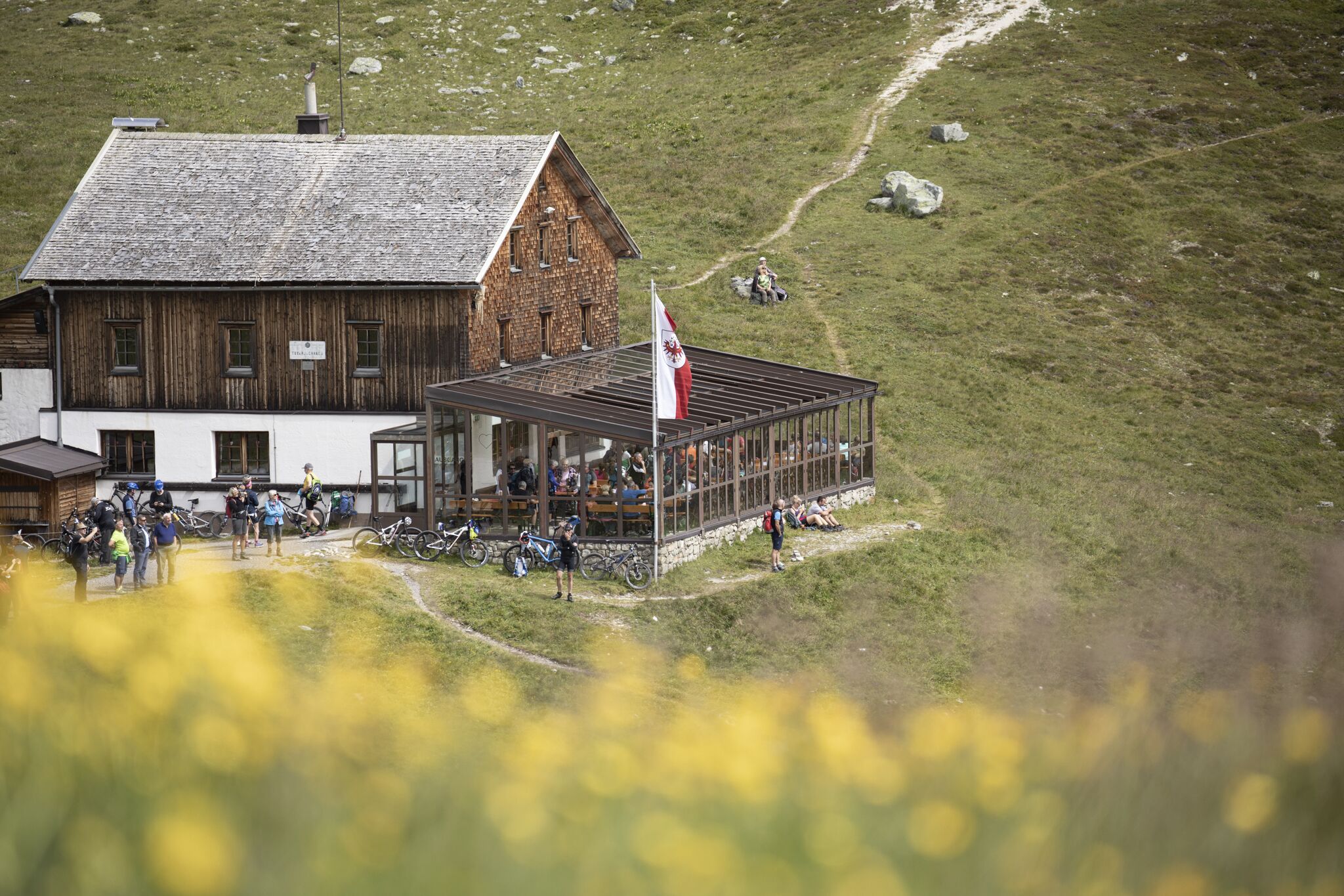
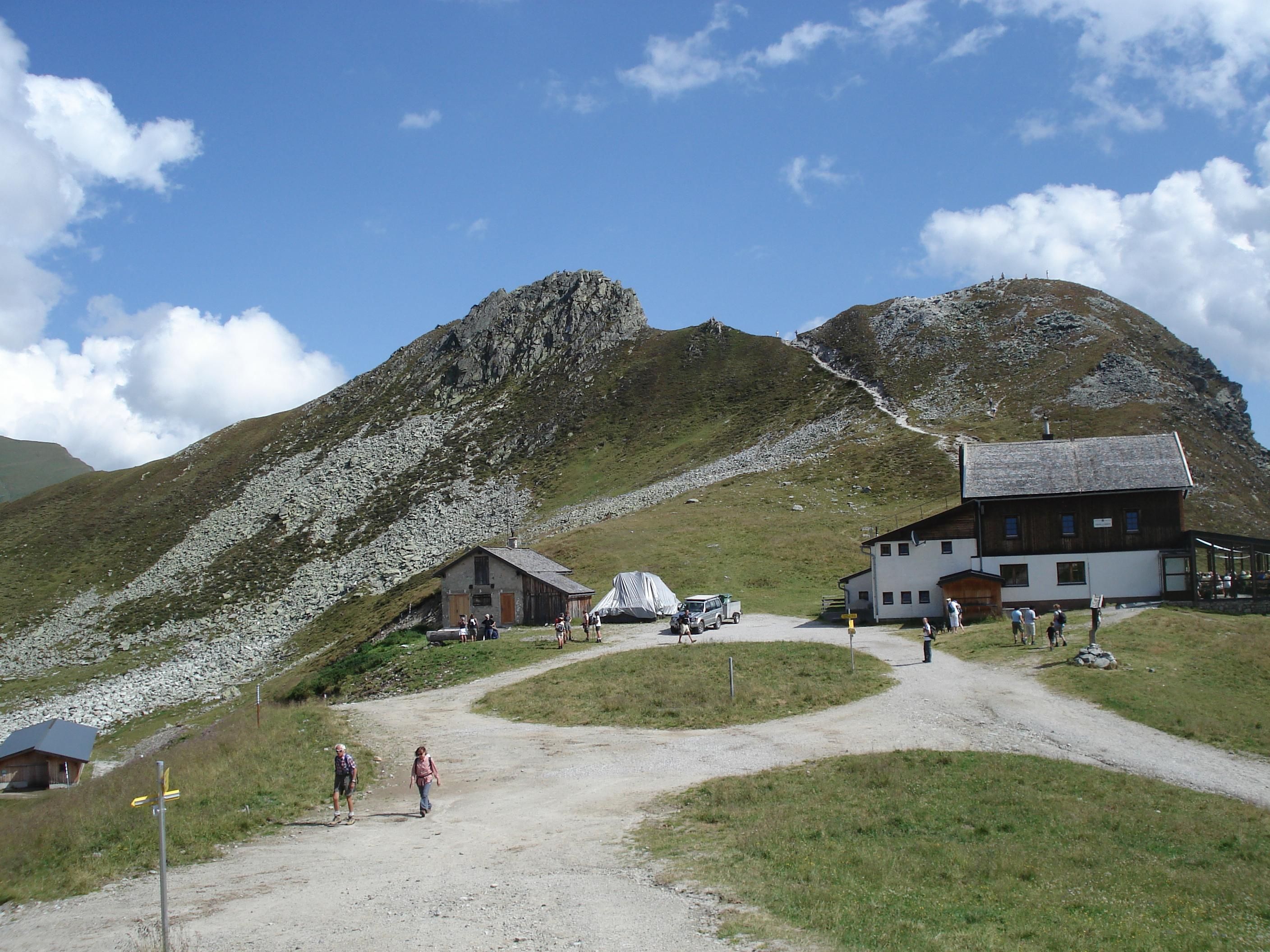
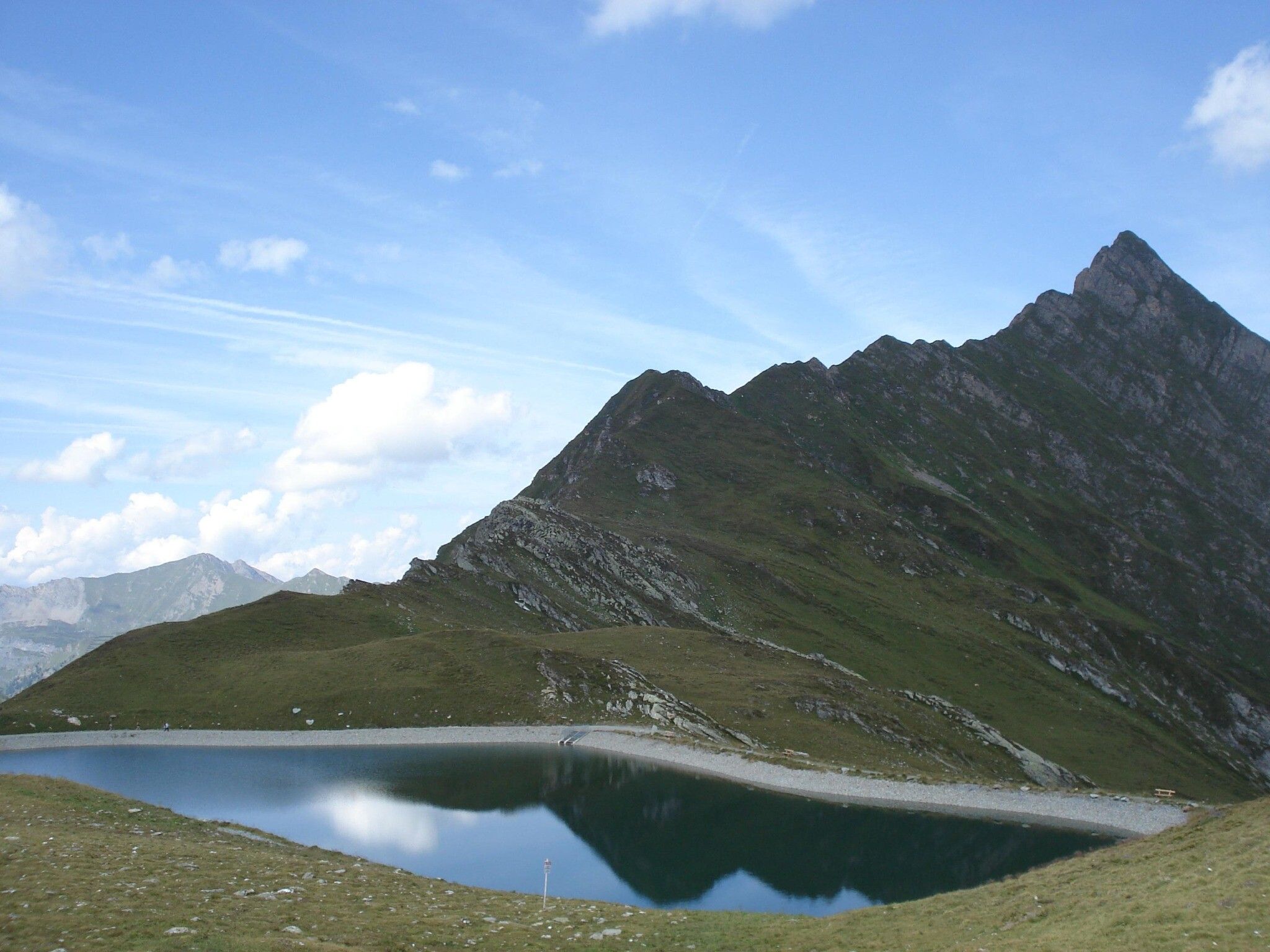
The challenge at the head of the Tux Valley. During the demanding climb up to the Tuxer Joch, we breathe in the thin mountain air—and a bit of glacier air, too—since the Hintertux Glacier isn’t far away and is always in view.
Helmet and glasses
Clothing appropriate to the weather
First aid kit (gauze bandage, plaster)
Charged mobile phone
Drinks and food
Tool
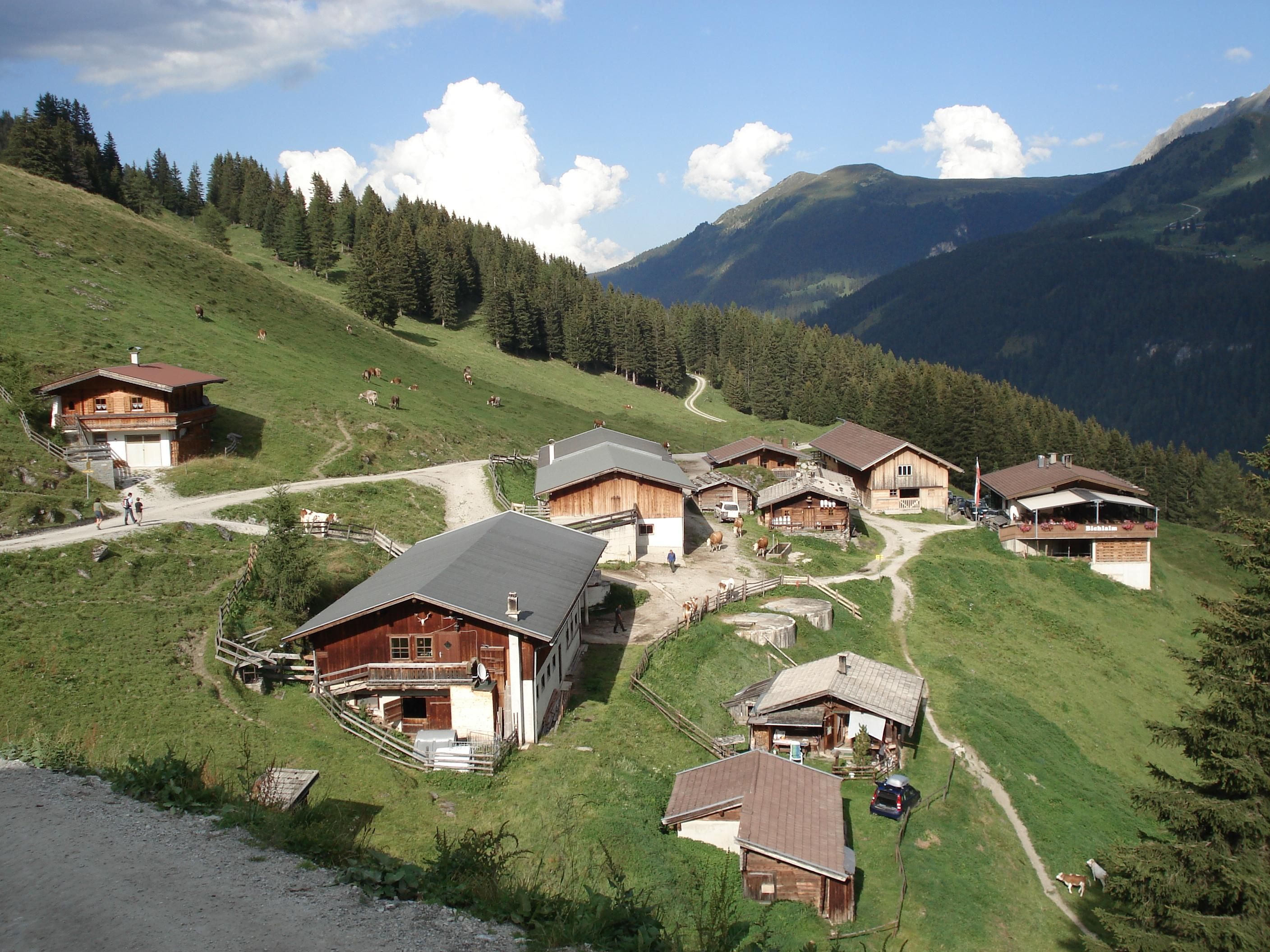
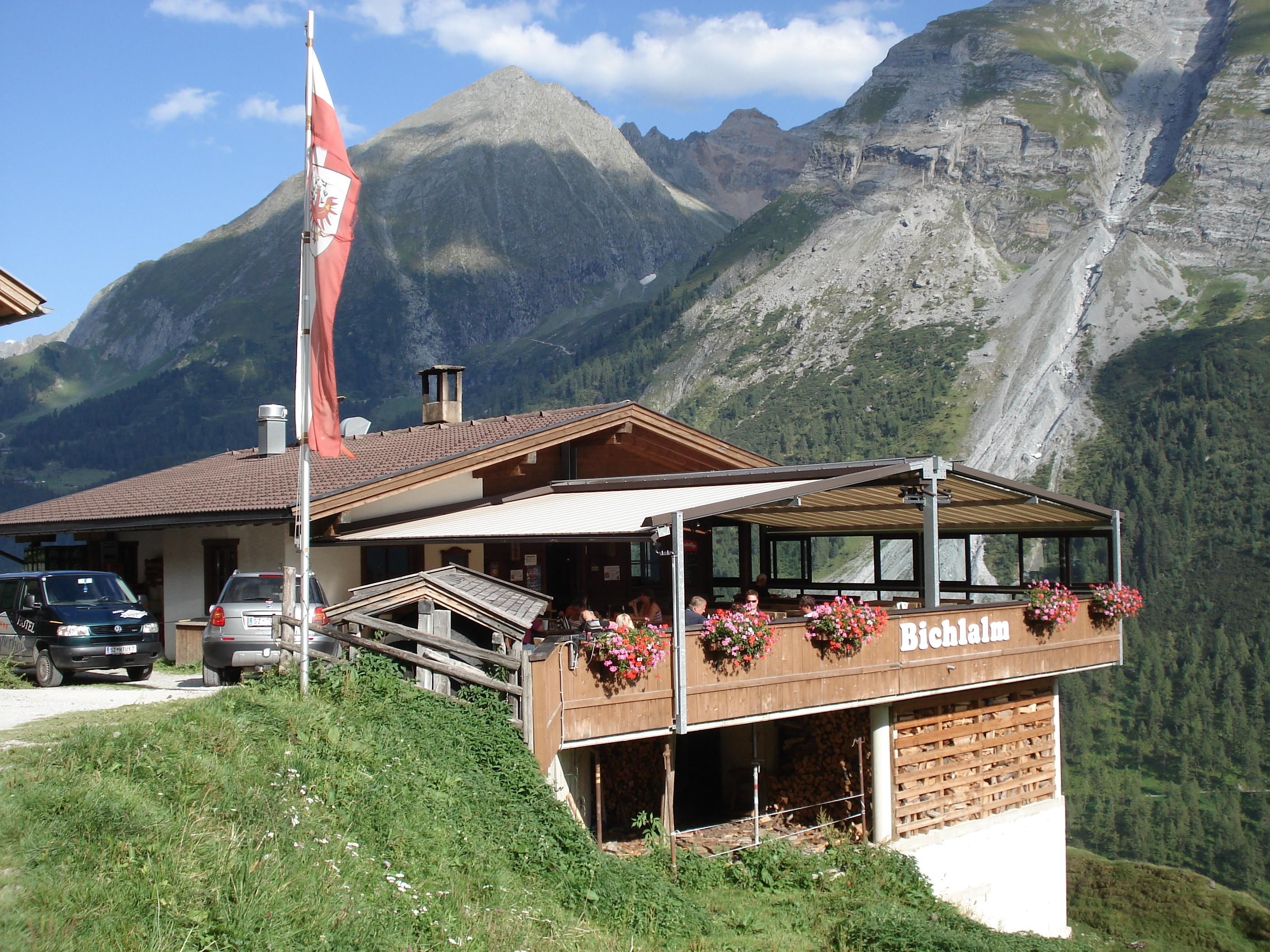
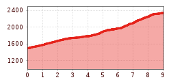
From the entrance to Hintertux, the route follows a well-maintained gravel road up to the Bichlalm. Continuing further into the valley, the trail crosses the Weitental stream and steadily climbs through a beautiful larch forest to the Sommerbergalm. From here, the more demanding section begins, with the path winding its way in several switchbacks up to the Tuxerjoch.
busline 4104
bus stops Hintertux village "Feuerwehr" (fire brigade) or
"Gletscherbahn" (bottom station of cablecar Hintertux Glacier)
Hintertux car parking bottom station of cablecar Hintertux Glacier or
Parking 2 (if open) between Madseit and Hintertux on the left side of the road


