Opening hours:Open today
Place:Wiesing
:café:Breakfast
13 Zillertal Cycle Path
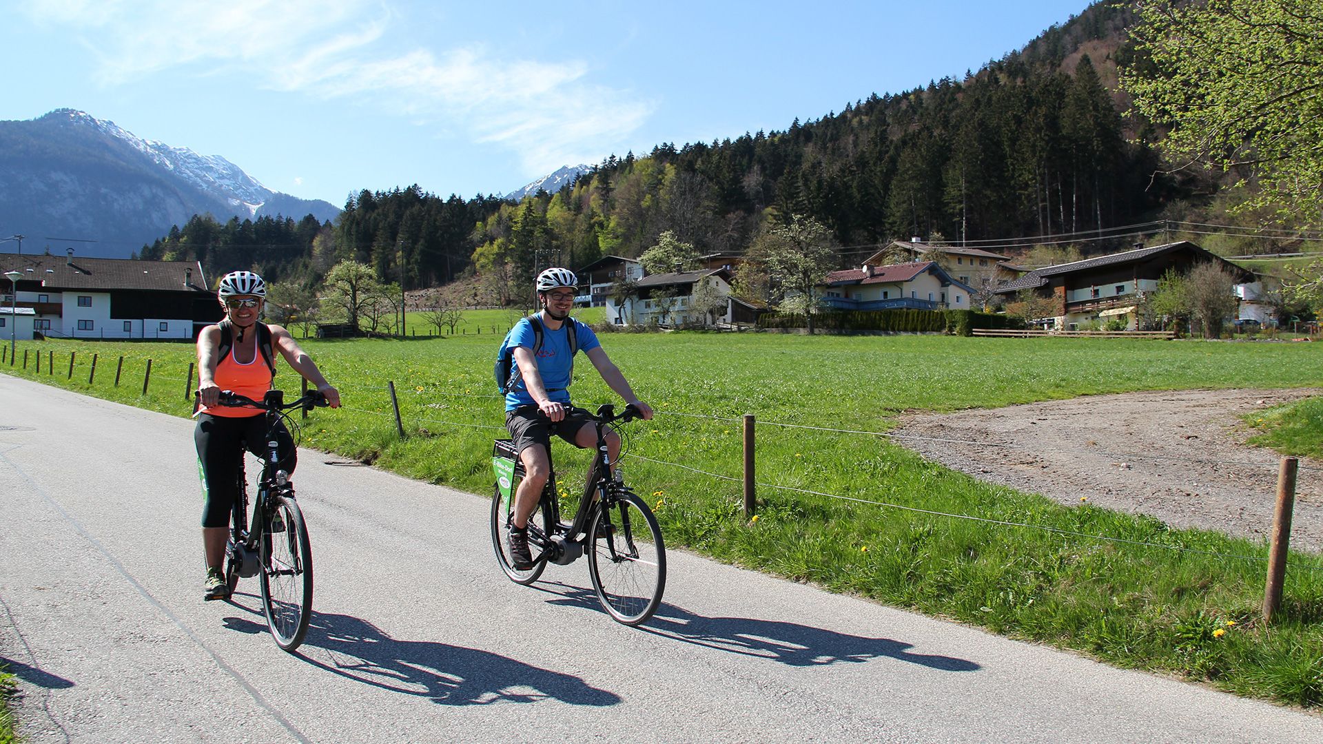
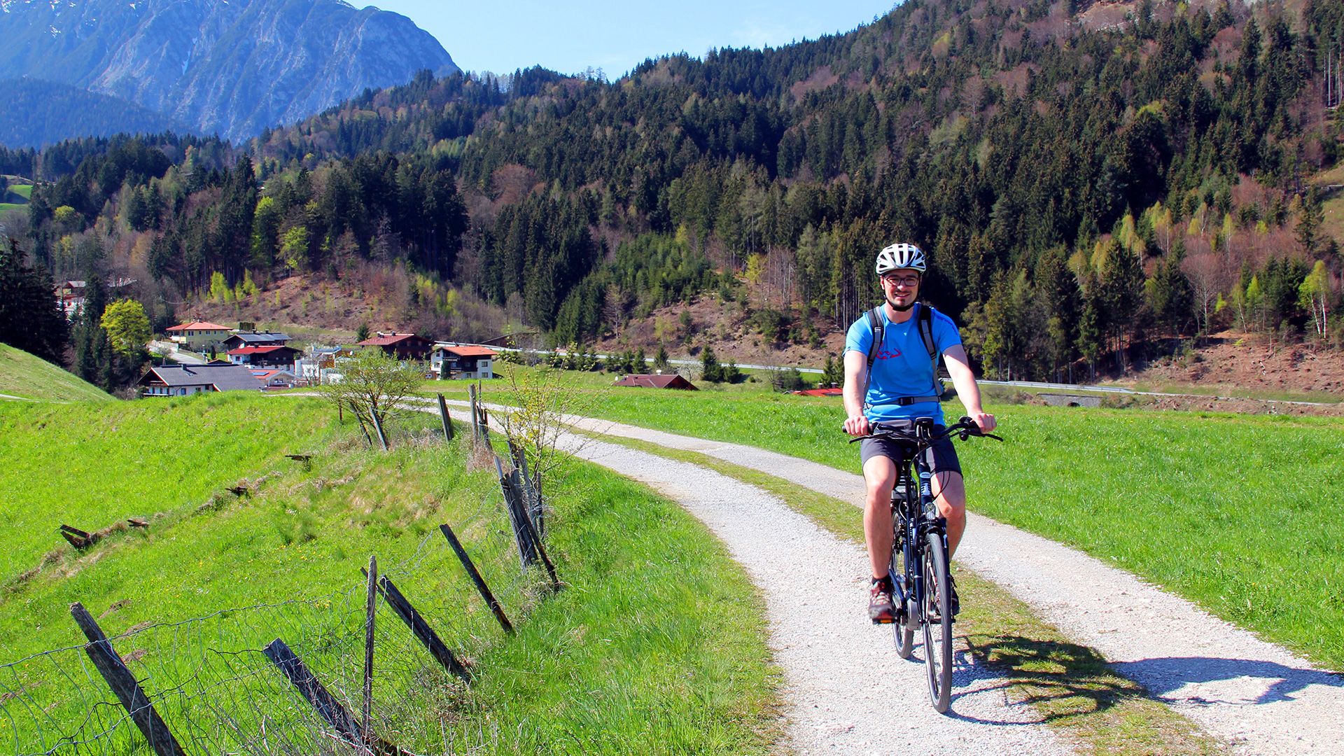
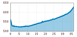
This 36.4 km family-friendly cycle route runs from Wiesing to Mayrhofen and explores the landscape along the Ziller stream. The route is well-surfaced and mostly flat, which makes it ideal for leisure cyclists and families. Along the way, there are plenty of opportunities for refreshments and breaks: Playgrounds, rest stops, public swimming pools and theme parks are within easy reach of the cycle path. Bike rides can be combined with the Zillertal Railway. Trains run between Jenbach and Mayrhofen and carry bicycles. The Zillertal Cycle Path connects with the Inn Cycle Path.
Note: The distances given indicate the length of the one-way route, as shown on the map and in the elevation profile.
Exit bus-stop: Wiesing Dorf
Pendlerparkplatz (commuter parking) or underground car park in the centre of Wiesing


.jpg")


Andi Frank (247).jpg")

")

-min.jpg")

Erwin Haiden, bikeboard.at.jpg")


.jpg")

