
Opening hours:Open today
Place:Mayrhofen
:Alpine pasture / hut / mountain restaurant
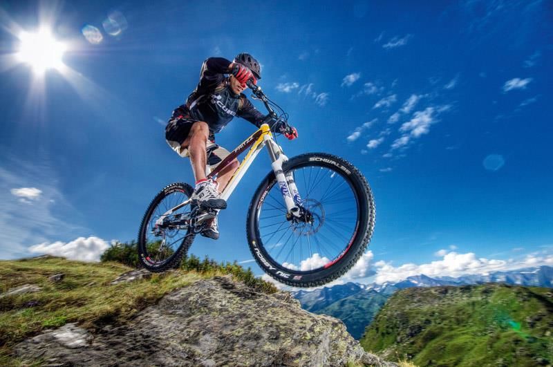
Varied MTB tour of discovery to the borders of Italy!
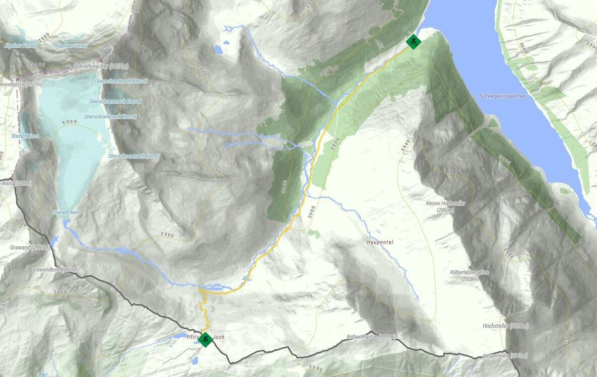
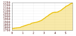
Zamsgatterl 1785 m at Schlegeis Reservoir, which can be found at the Tux glacier hut parking lot, is the starting point for Route No. 482. A gravel trail leads from here into Zamsergrund. Follow the hiking trail to Pfitscherjoch. This alternates between being moderately steep with sections where you will have to get off and push, or take the road to Lavitzalm 2095 m. A short stretch is almost flat along the gravel path, where you can catch your breath again. The last section takes you up a steep ascent over several hairpin bends to Pfitscherjochhaus 2276 m. Once at the top, we recommend a delicious Italian pasta meal at Pfisterjochhaus 2276 m as a reward for your exertions. For the return journey, you can freewheel back down the same path in a more relaxed fashion.
")


_FULL110.jpg")


")


.jpg")
.jpg")


")

