Mountainbike-Tour 533 Mountain bike Grünerberg - Seapnalm - Vögeleralm

Navis / Tuxer Alpen
Difficulty ratings: difficult
Route length: 9.0 km
Duration: 4:00 h

You can expect: a rustic hut like something out of a picture book & Rosi's desserts!

Tour information

  • Requirement: difficult
  • Length: 9.0 km
  • Duration: 4:00 h
  • Elevation uphill:741 hm

Starting point

Parkplatz Navis Grün (1392m)

Finishing point

Vögeleralm
  • Fitness level 3 / 6
  • Technique 2 / 6

Best time of year

  • January
  • February
  • March
  • April
  • May
  • June
  • July
  • August
  • September
  • October
  • November
  • December

Trail condition

Also as a round tour - via the Silgletrail Misljoch - a very varied and worthwhile round tour from Matrei to Navis to the Seapenalm to the Misljoch and down to Pfons/Matrei - duration approx. 4h. (522 - Misljochtrail single trail)

Equipment

Bike equipment, small first aid kit, food, puncture material, weather protection, mobile phone.
Source: Wipptal

Description

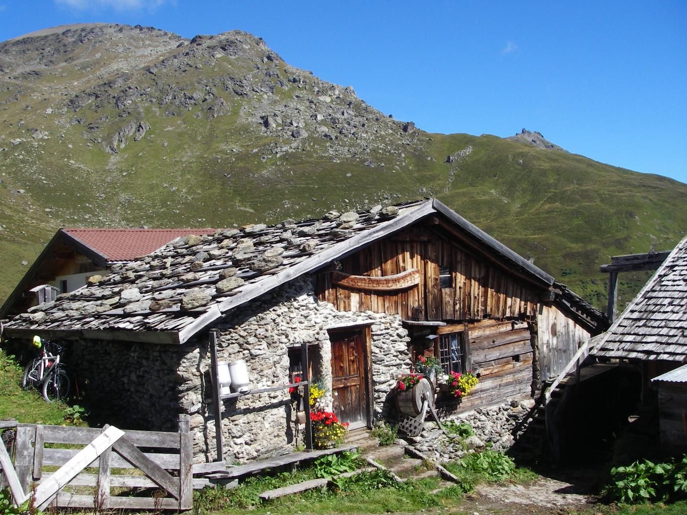
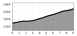
From the Grün car park, the route begins on a gravelled forest path through dense forest; shortly before the Peeralm, there is a turn-off (left) towards the Seapenalm. The rest of the ascent is now on a free ridge. You work your way up in zigzags before the last, flat section brings you directly to the entrance door of the Seapenalm.

Nearby huts and mountain restaurants

Getting here

  • Arrival by public transport

    There is a bus service from Matrei station to the start of the route (www.vvt.at).
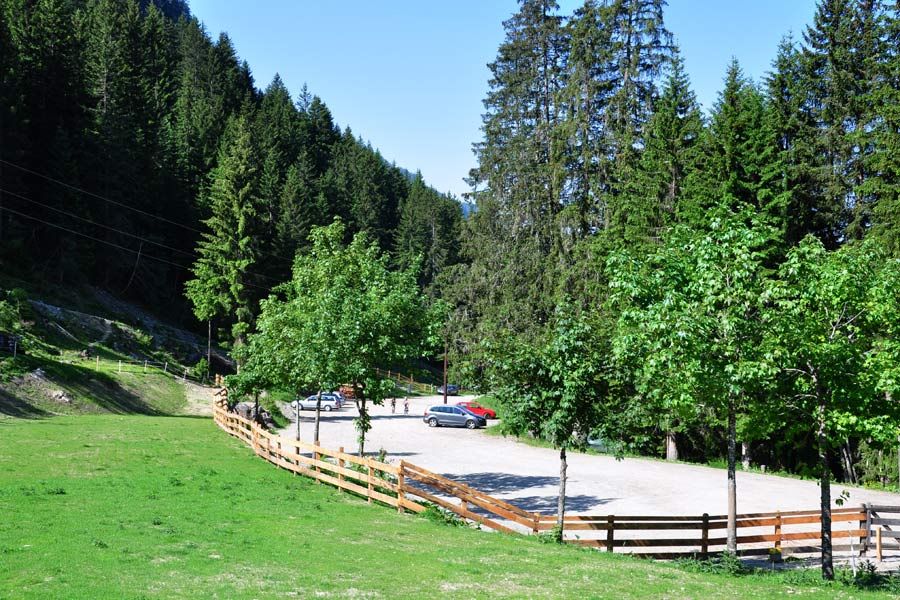
  • Parking

    Car park "Grün"

More tours in the surrounding area

Newsletter

The mountain is calling? So does our newsletter!

In our monthly newsletter we reveal the best holiday tips for Tyrol.