Mountainbike-Tour 534 Mountain bike Naviser Bachweg

Mühlbachl / Stubaier Alpen
Difficulty ratings: easy
Route length: 13.0 km
Duration: 1:30 h

Pleasant tour from Matrei along the Naviser Bach stream into the Navistal valley.

Tour information

  • Requirement: easy
  • Length: 13.0 km
  • Duration: 1:30 h
  • Elevation uphill:923 hm
Highest point1,399 m

Starting point

Matrei train station/middle school (985m)

Finishing point

Schranzberg car park/ Navis village bus stop
  • Fitness level 2 / 6
  • Technique 1 / 6

Best time of year

  • January
  • February
  • March
  • April
  • May
  • June
  • July
  • August
  • September
  • October
  • November
  • December

Trail condition

If you continue on to the Naviser Hütte: stop for refreshments at the Naviser Hütte or a little above at the Stöcklalm.

Equipment

Bike equipment, water, snack, first aid bag, mobile phone, jacket, sun protection
Source: Wipptal

Description

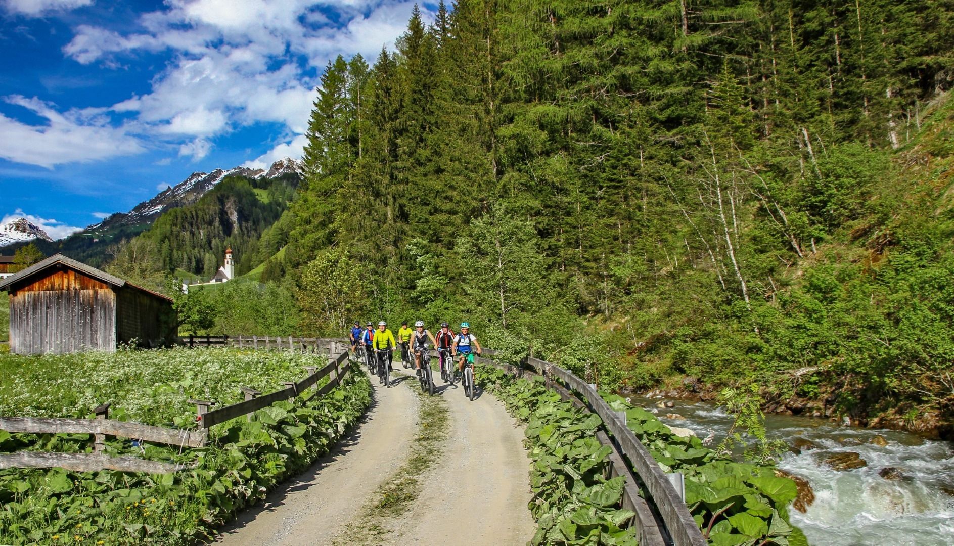
This easy route starts at the Matrei/Wipptalradweg railway station or at the middle school car park and branches off into the Navis valley at the Mühlensiedlung. There the route climbs slightly and continues along the Navis stream and past the Navis church into the rear Navis valley.

Nearby huts and mountain restaurants

Getting here

  • Arrival by public transport

    Matrei am Brenner with S-Bahn every 30 minutes from Innsbruck, Steinach and Brenner.

  • Parking

    At the Middle school (free of charge)

More tours in the surrounding area

Newsletter

The mountain is calling? So does our newsletter!

In our monthly newsletter we reveal the best holiday tips for Tyrol.