
Place:Ellbögen
:Alpine pasture / hut / mountain restaurant:vegetarian
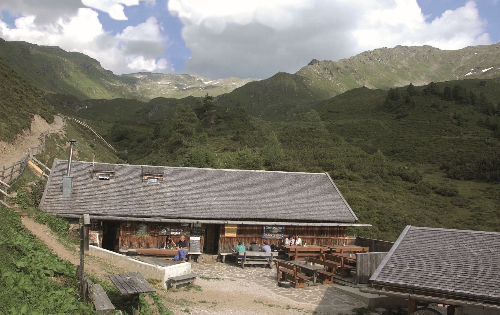
Arztaler Alm mountain hut - MTB route (5021)
A scenic tour with two potential starting points for anyone who loves quiet tributary valleys.
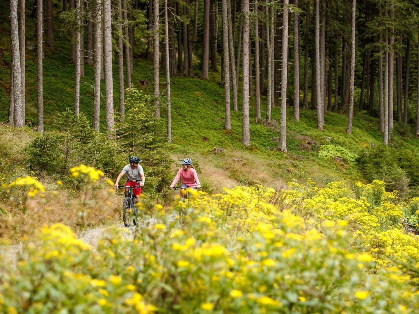
The tour to the Arztaler Alm mountain hut starts in the sleepy village of Ellbögen and leads south of Patscherkofel, Innsbruck's local mountain, to the quiet and picturesque Arz Valley.
1st starting point: the car park at the recycling centre in Ellbögen. Follow the paved road uphill towards Oberellbögen until you reach the 2nd starting point: Hinterlarcher car park. From there, take the gravel road and follow it gently uphill. As you pass the last of the buildings and a small chapel, the route will start to get a little steeper. Continue on the forest road and around six hairpin bends until you reach the gate. This is the start of the private access road to the Arztaler Alm mountain hut. Most of the route leads through the forest but it regularly comes to clearings where you can enjoy wonderful panoramic views of the surrounding mountains. When you reach your destination - the Arztaler Alm mountain hut - at an altitude of 1,900 metres above sea level, you can stop for a break and a bite to eat. During the summer months, you should expect to meet cattle along the route. The same way back.
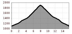
Route length from the first starting point: 8 kilometres, from the second starting point: 4.3 kilometres.

