
Opening hours:Open today
Place:Kramsach
:Restaurant
Bike & Hike route from Kramsach to the beautiful Zireiner See with summit experience at Roßkogel
Note the marked MTB trails
E-bike, helmet, gloves, water bottle, snack, hiking equipment, head covering
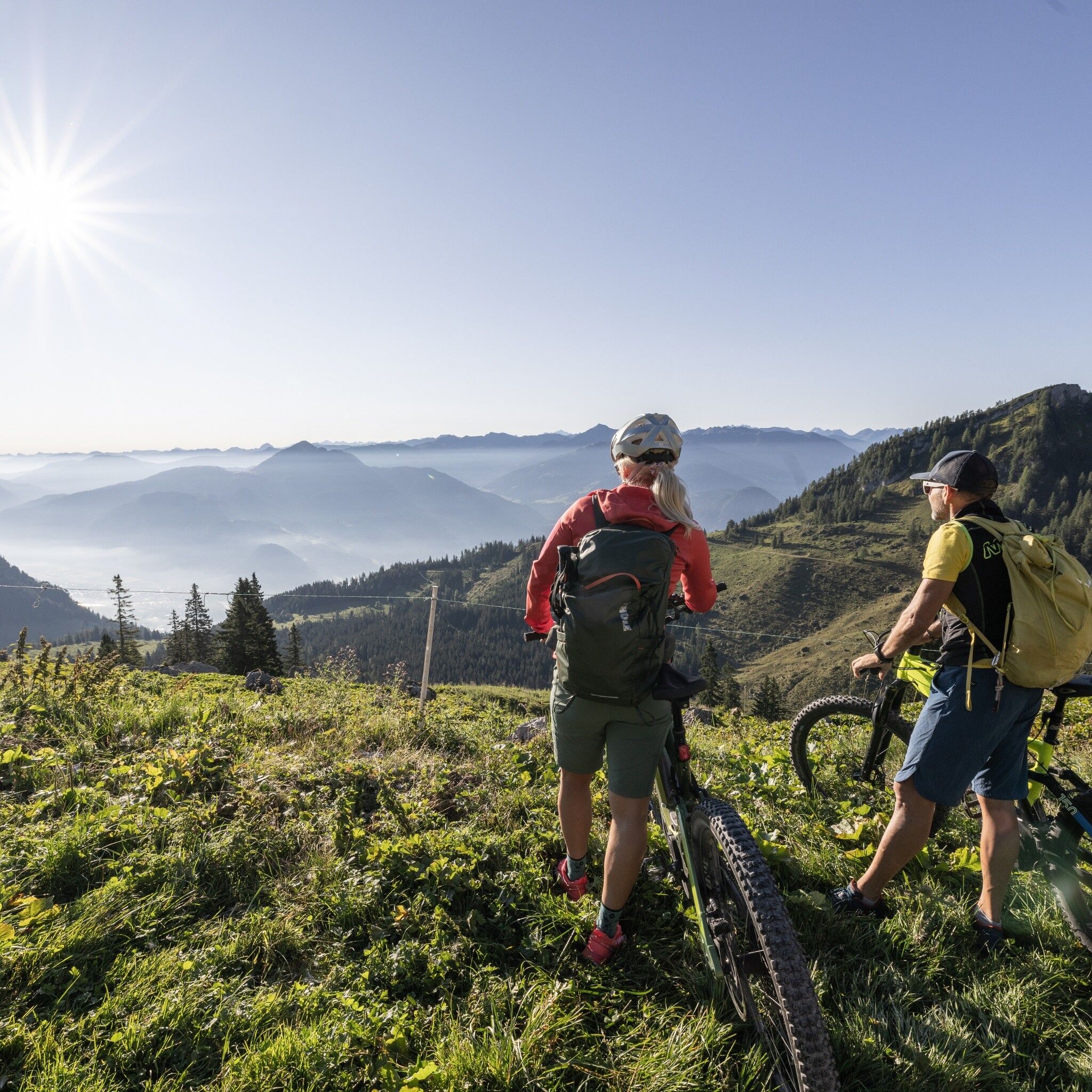
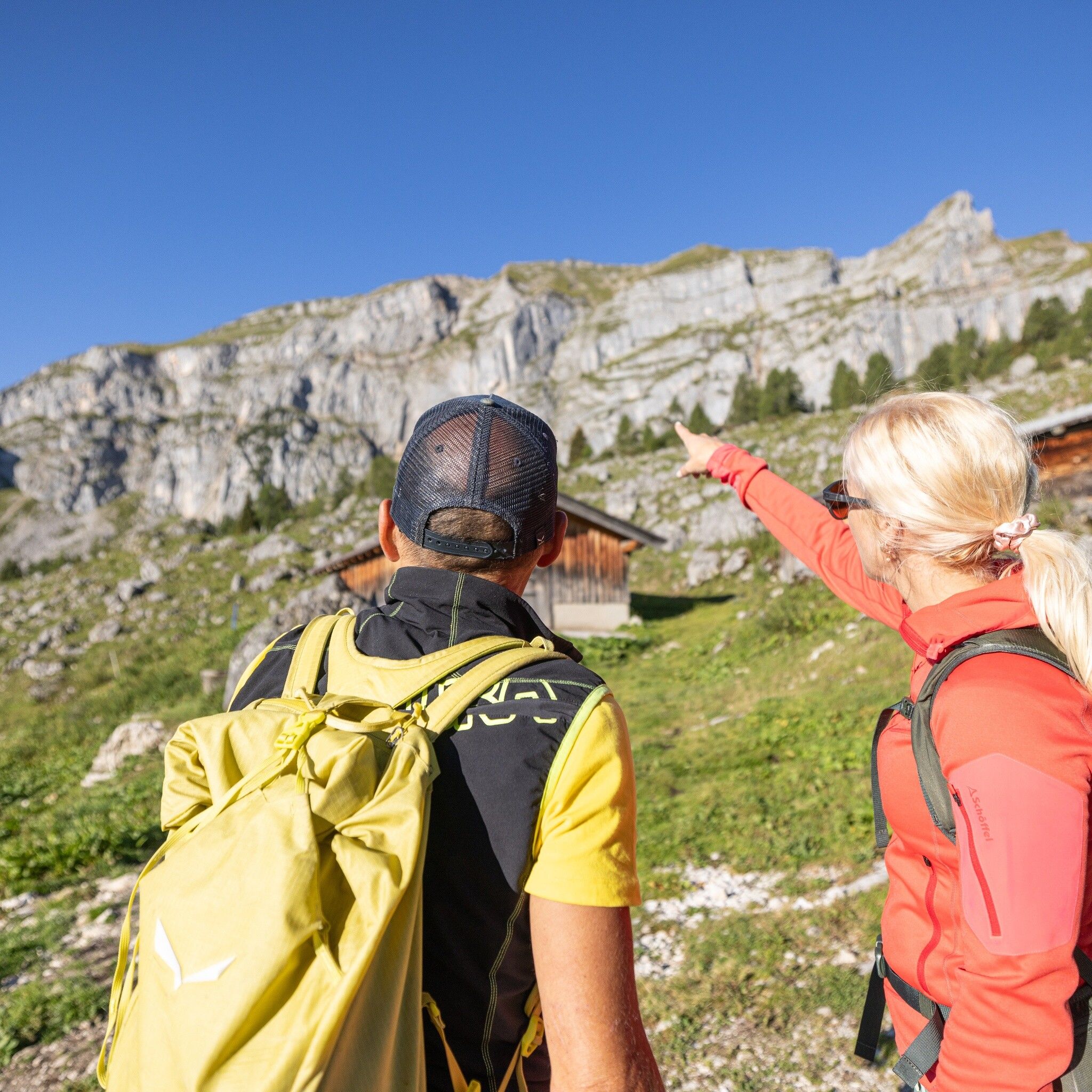
Experience an unforgettable circular route that leads you through breathtaking landscapes and to the most beautiful views in the Rofan. The combination of biking and hiking offers you varied impressions and fantastic nature experiences.
With the BIKE on MTB trail No. 357 + No. 332
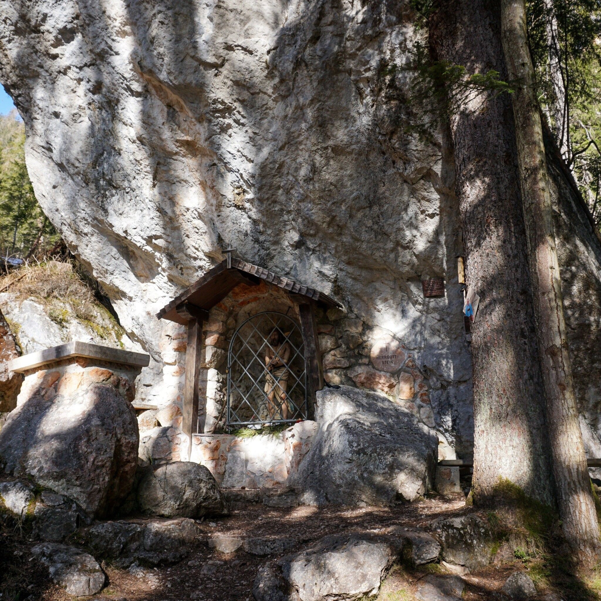
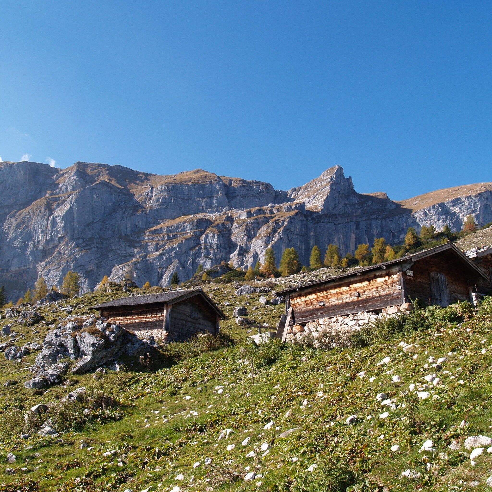
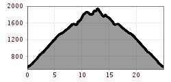
The starting point of this route is in Kramsach, at the parking lot of the former Sonnwendjochbahn. From here, the bike trail impressively leads you up to the Bayreuther Hütte at 1,570 m. Along the way, you pass special places such as the spring “Kaltes Wasserl” and the powerful place “Herrgottstein.” After about 1,000 meters of elevation gain, you finally reach the Bayreuther Hütte where you leave your bike – the hiking part begins now!
With the e-bike about 1.5 hours for 8 km and 1,030 meters of elevation gain.
HIKE
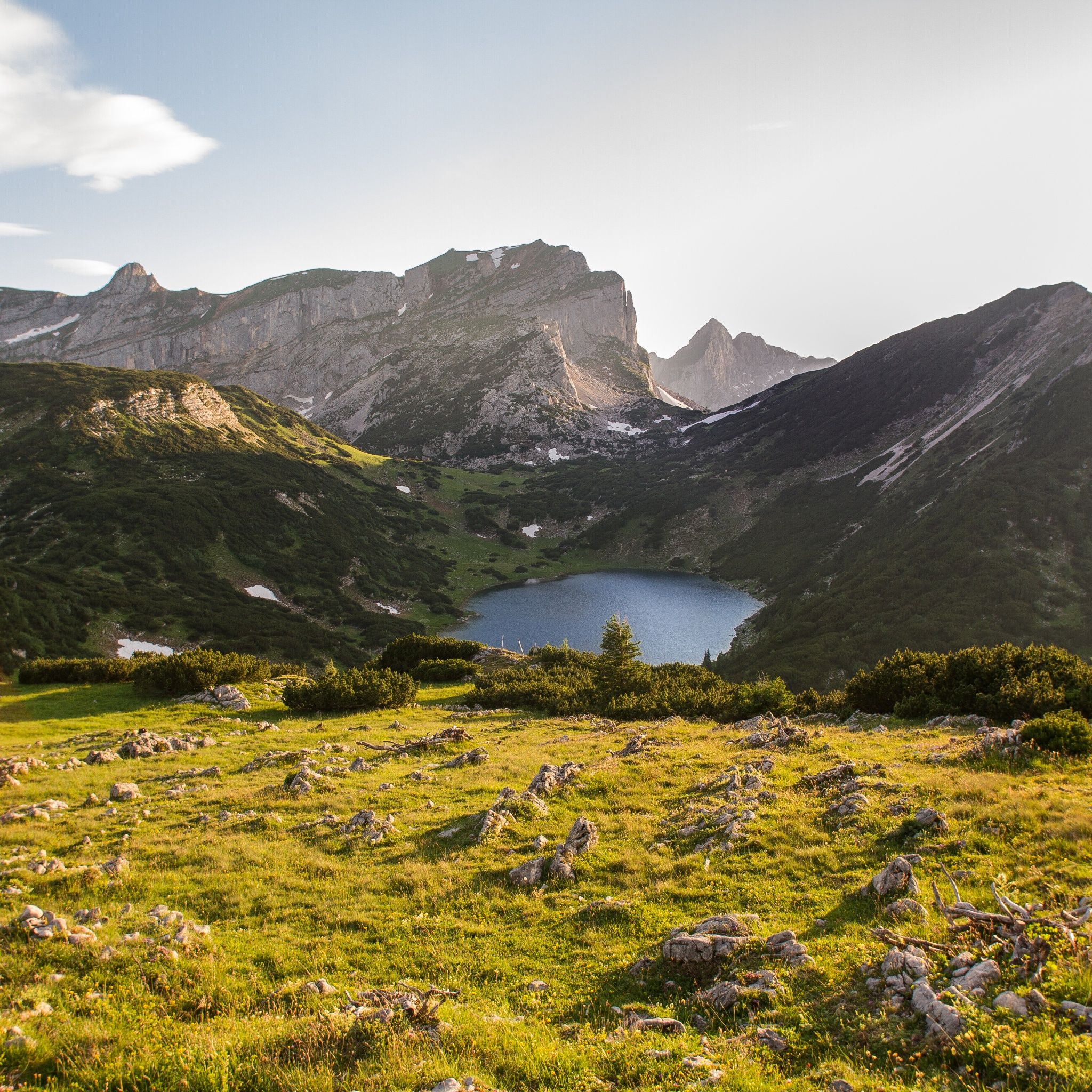
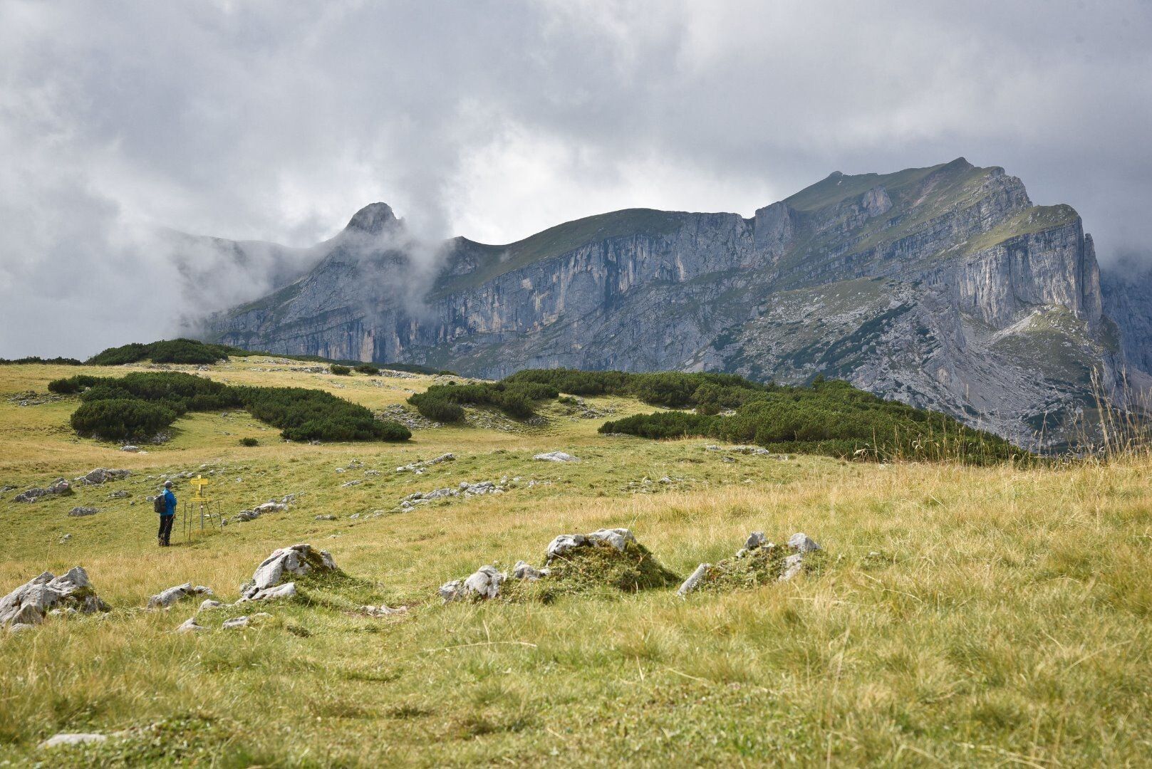
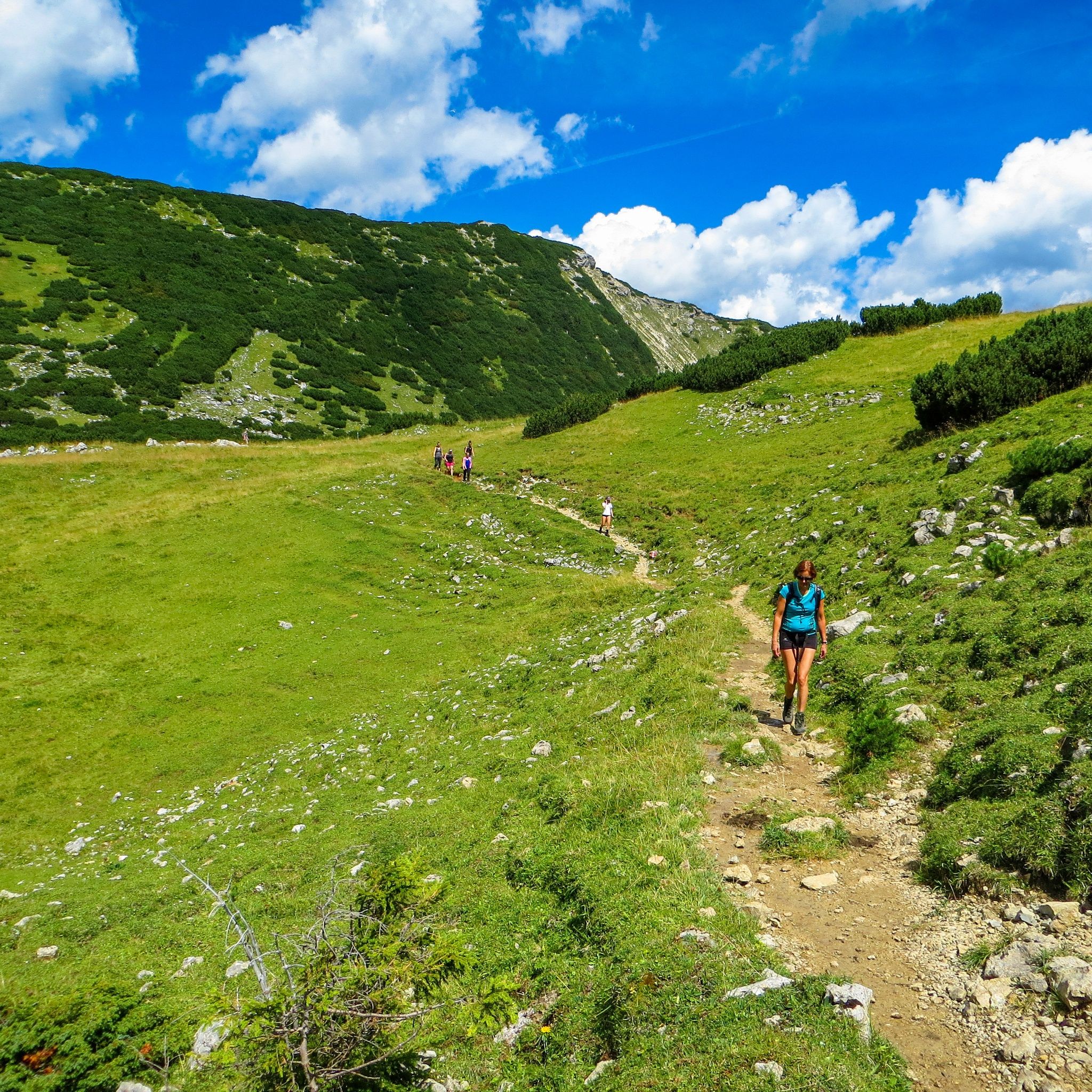
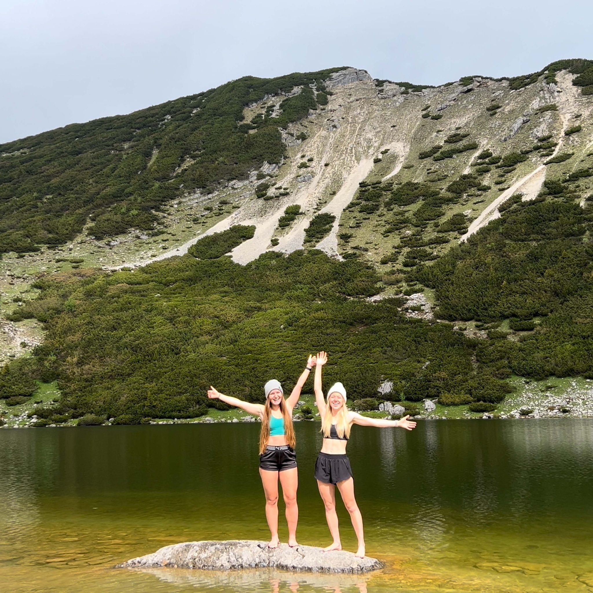
From the Bayreuther Hütte the hiking trail first leads up toward the Zireiner Almen. Passing the Zireiner Almen on the left, the path continues straight ahead toward Zireiner See. Shortly before the lake you leave Latschberg on the "right" and continue straight to the junction that leads you at 1,800 m to Zireiner See – an ideal spot to take a well-deserved break and enjoy the silence of nature.
The last section of the hike leads further toward the summit of Roßkogel at 1,940 m. The ascent is rewarded with a fantastic view before you first return the same way and then descend left toward Zeiner Almen and Bayreuther Hütte.
The hike takes about 3 hours for 8.5 km and 500 meters of elevation gain.
Places to eat:
After the hike you can refresh at the Bayreuther Hütte or enjoy a drink in the valley at Liftstüberl Kramsach.
This route offers you a perfect combination of sporting challenge and nature enjoyment – an experience you shouldn't miss!
Here you can plan your arrival with Tyrol Transport Association
Bicycle transport for up to 5 bikes
Bus 610 - stop Kramsach Sonnwendjochbahn
Parking lot former Sonnwendjochbahn Kramsach

")

