
Opening hours:Open today
Place:Scharnitz
:café
Long and challenging bike tour through a fascinating mountain world.
Asphalt, gravel
You can find all the latest information on the road closures in the Seefeld region here.
Have you discovered a spot that we should rework or repair? Fill in the 'Report hazard' form and let us know where work is needed in the region.
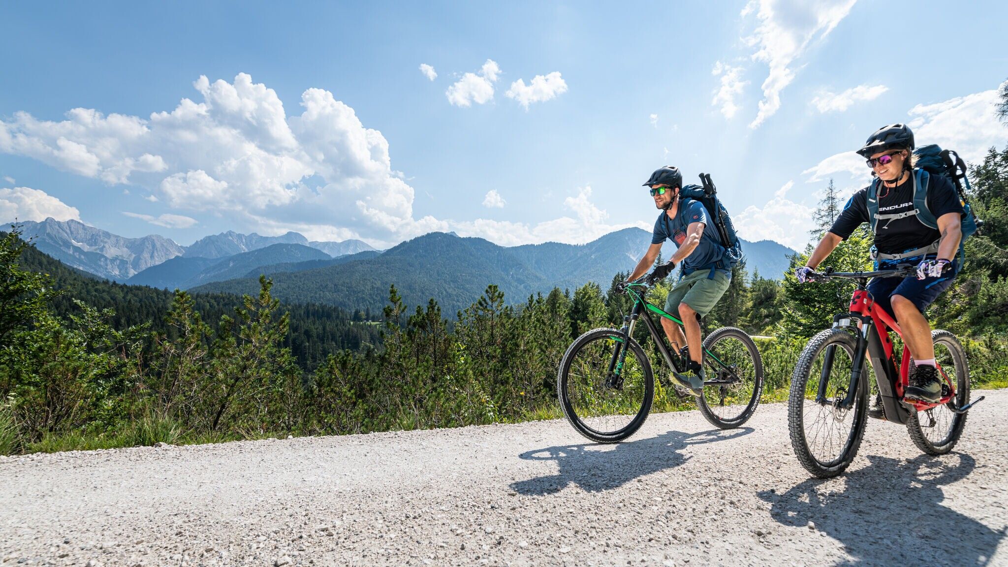
Good condition & technique required. Off-road bike (mountain bike, gravel bike, etc.), helmet, gloves
Suitable equipment is also available in the bike stores in the region.
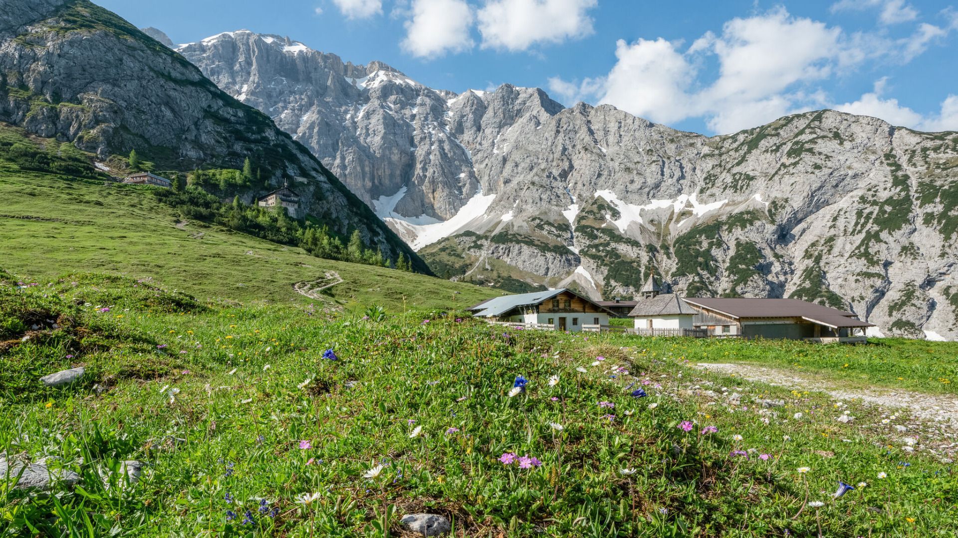
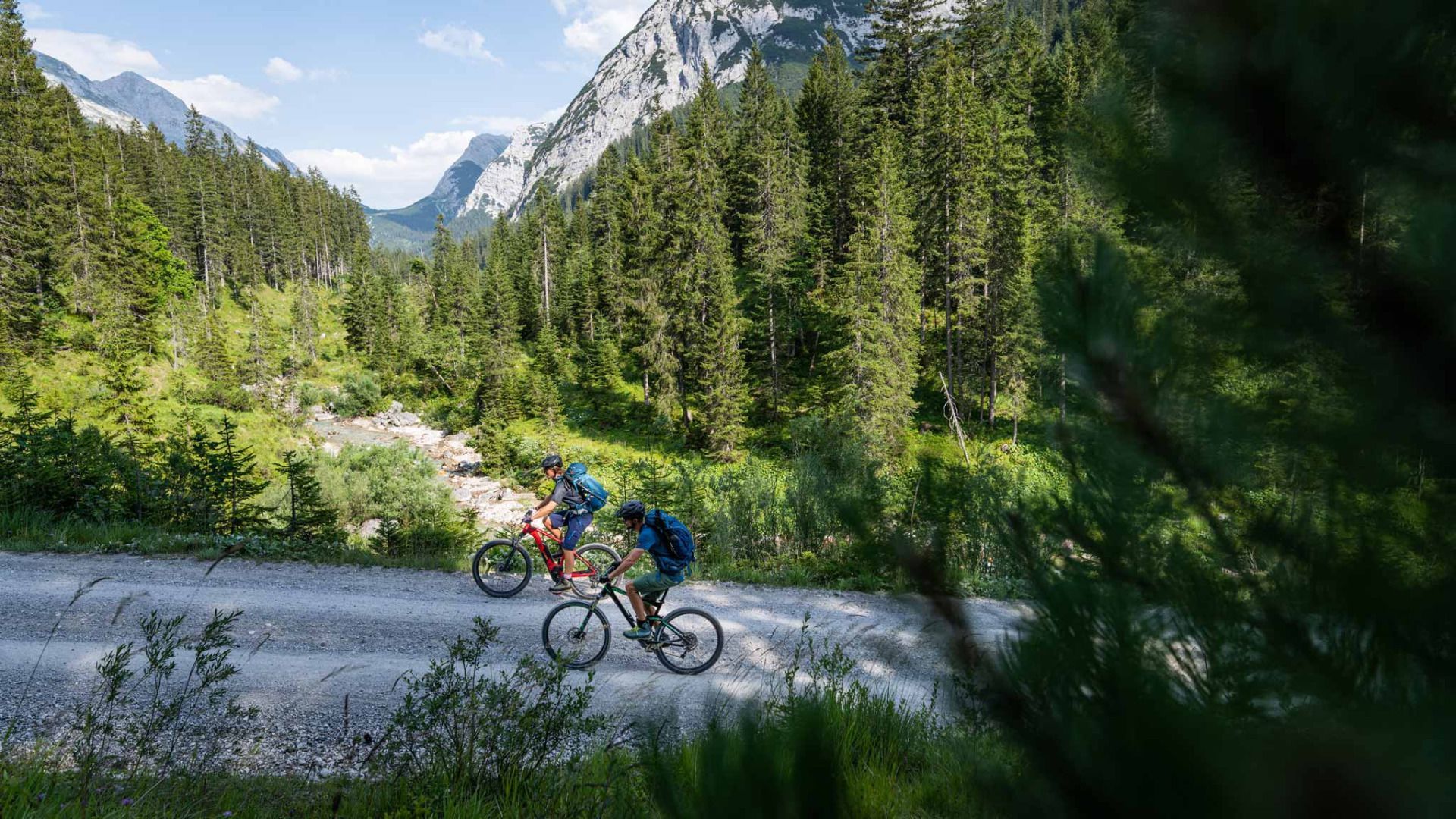
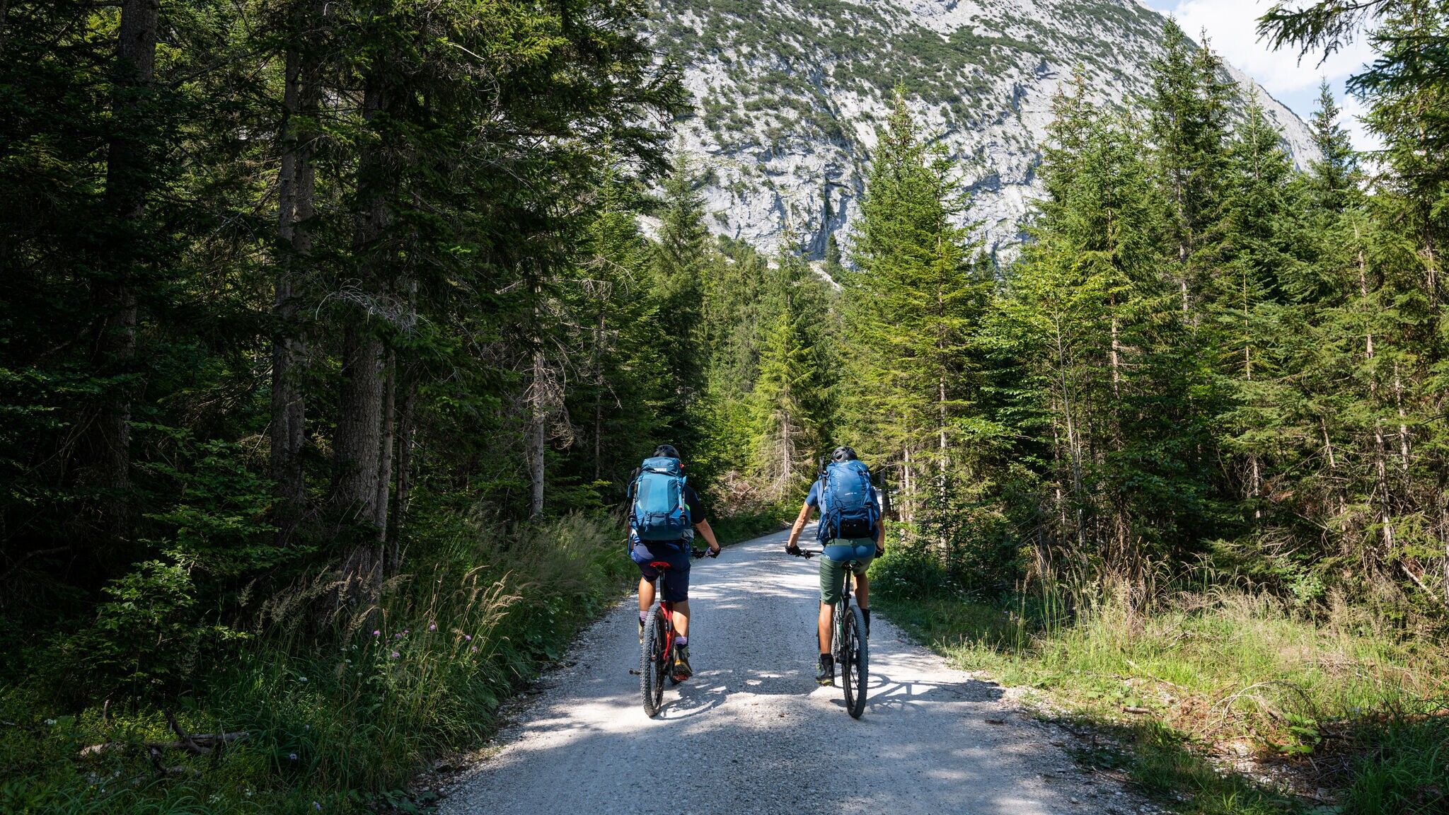
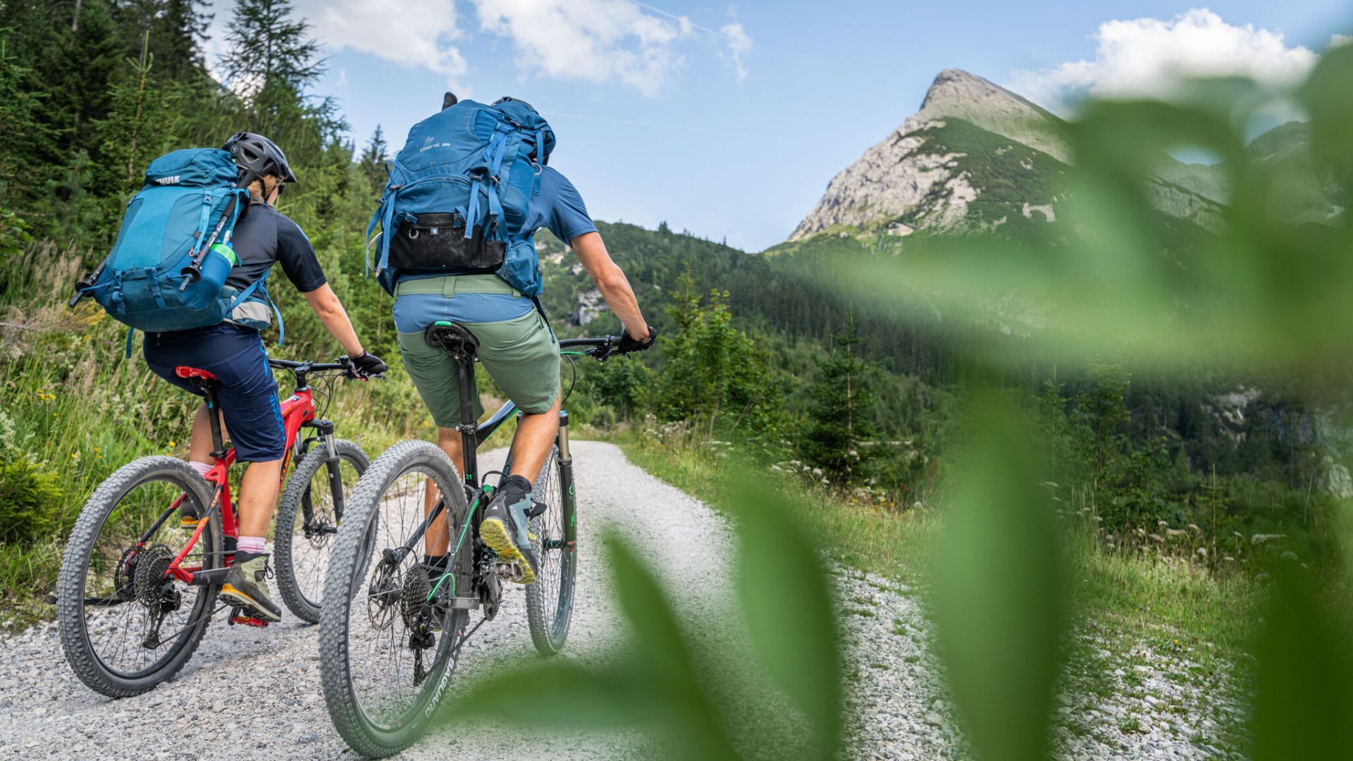
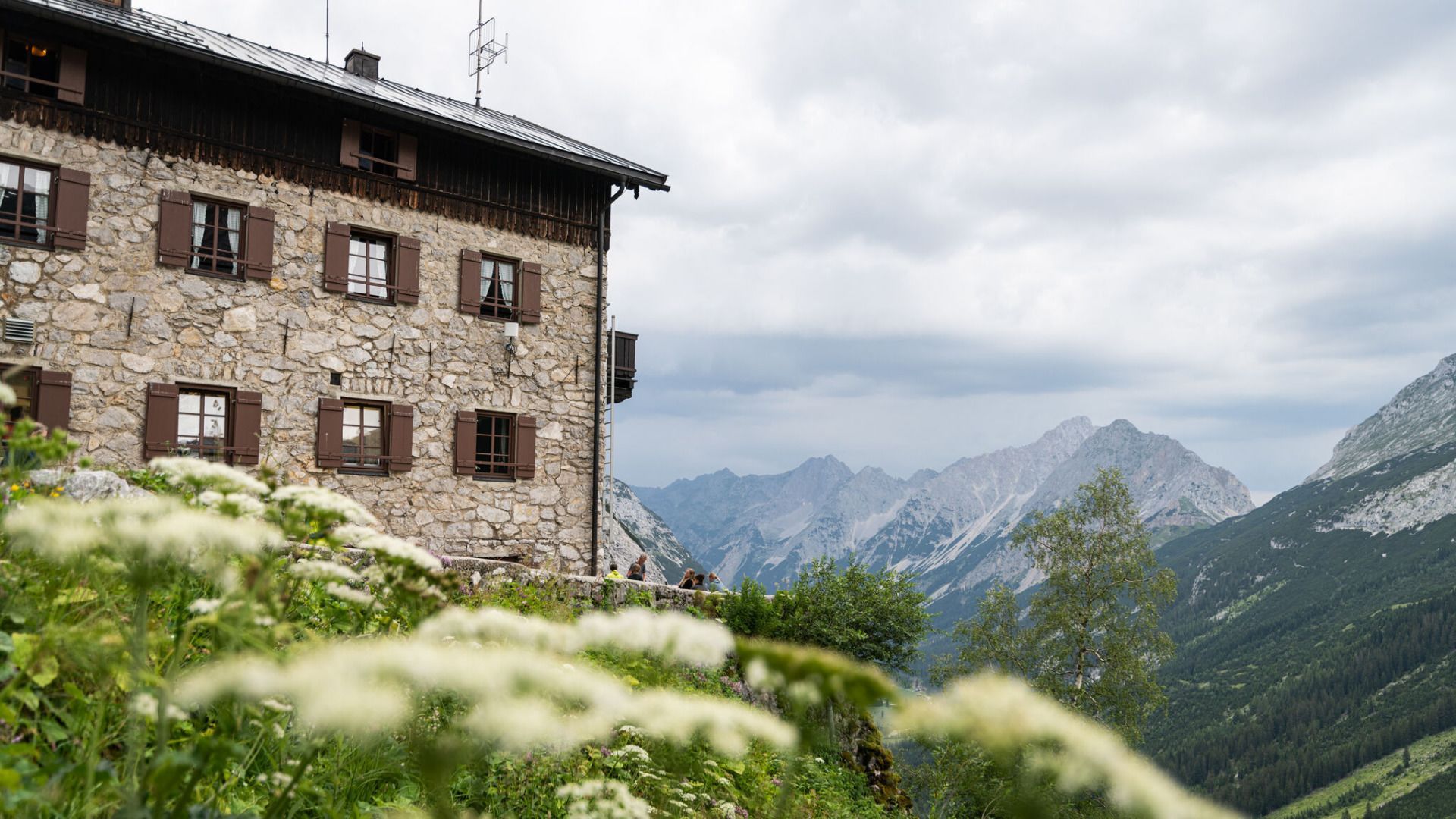
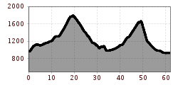
This tour, classified as difficult, requires skill and stamina. With 60 kilometers in length and 1,850 meters in altitude to overcome, it is one of the longest and most difficult stages. It leads you through the contrasting landscape of the Karwendel, which reveals the wide spectrum of the mountain world with rugged rocks, lush meadows and green forests.
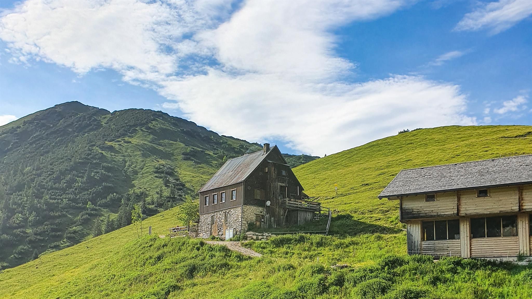
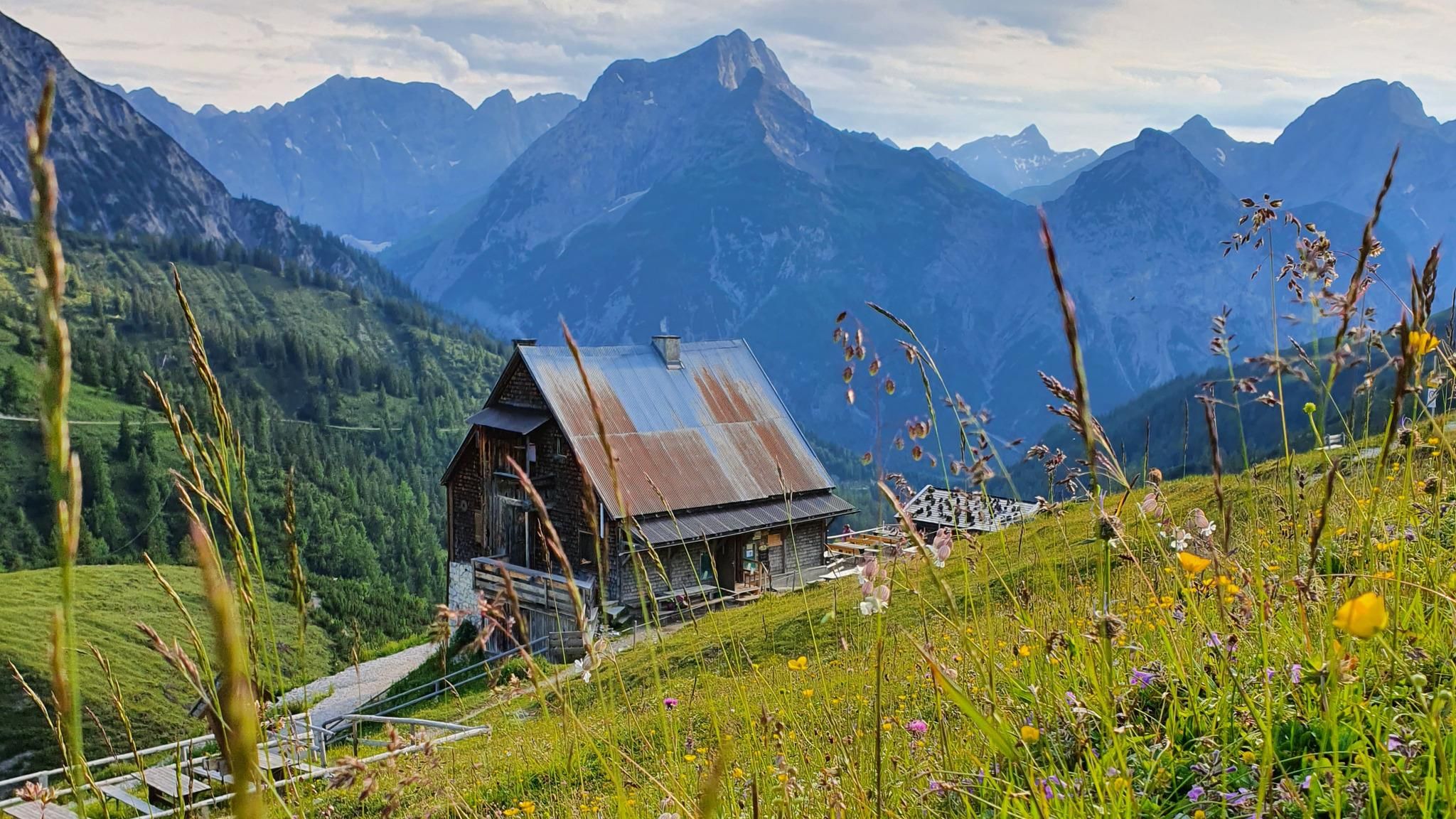
After starting at the Scharnitz Nature Park Info Center, you first cycle about 500 m into the valley before turning left onto the forest road to the Karwendelhaus. You cycle through the Karwendel valley to the Karwendelhaus without any junctions. It is only a short climb to the Hochalmsattel. After a descent, you reach the Kleiner Ahornboden and now cycle on well-maintained forest roads through the Johannistal in the direction of Hinterriß. Once in the Rißtal, you cycle into the valley until you reach the turnoff for the Plumsjoch. Now you have to climb another 500 meters to the Plumsjochhütte. After the stop for refreshments, a technically difficult descent follows (single trail Plumsjoch or sliding trail) into the Gerntal and on an asphalt road further to Pertisau. After passing through the town, you cycle directly next to Lake Achensee on a cycle path to the stage finish at the parking lot in Maurach-Buchau.
By train to Scharnitz train station, then approx. 3 minutes by bike to the starting point at the Nature Park Information Center.
All real-time connections can be found in the route planner.
You can find all information about bicycle transportation on the bus here.
Guest Card = Travel Card: The guest card is valid during your stay as a ticket for all public bus connections in the region (up to Telfs and Mittenwald). In addition, the train ride between Seefeld and Scharnitz and the Wildmoosbus are also included. However, a separate ticket for bicycle transportation on the train must be purchased at the ticket counter of the Seefeld information & mobility center or online.
Parking P2 “Karwendelparkplatz Länd” - Scharnitz.
Cyclists can also use the following parking lots: P1 (Riedboden) coming from Munich and P4 (Mühlberg) coming from Innsbruck.
From these parking lots you can reach the starting point at the Scharnitz Nature Park Information Center by bike in about 5 minutes.
You can find all other car parks in Scharnitz here.

.jpg")


