

Difficulty:difficult
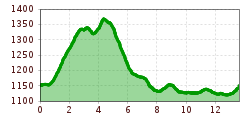
Length:54.0 kmDuration:6:00 hElevation uphill:1,675 m
Short description:The route from Grän to the Adlerhorst mountain inn is partly paved and partly gravel, but it’s easy to ride and quite enjoyable. You’ll bike through sparse woodland, past raised bogs and beautiful scenic spots.Quality of experience: ******Recommended season:MayJuneJulyAugustSeptemberOctoberProperties:LoopScenicRefreshment stops available
Description:
For experienced cyclists, there are 15 bike routes totaling 150 kilometers that have been approved by the state of Tyrol and are uniformly signposted. In addition, the Tannheimer Valley serves as the starting point for the newly designed “Bike Trail Tirol” route. The large loop tour, spanning over 800 kilometers, and the many connecting stages, covering an additional 500 kilometers, are designed so that cyclists can customize their own routes.
Bike Trails Off the Main Roads
You can explore the surrounding area on the “Tannheimer Valley Bike Trail,” which winds through the most beautiful corners of this high Tyrolean valley over 40 kilometers. The bike trails are located away from the main highway and are uniformly signposted. Via Schattwald toward Rehbach, you’ll reach Oberjoch and Unterjoch in the Allgäu—take a moment to linger at the “Floschen” moor pond. Or cycle through Tannheim and Grän, continuing along the new lakeside promenade at Haldensee all the way to Nesselwängle. You’re sure to enjoy a detour to the Vilsalpsee Nature Reserve.
The Tannheimer Valley Cycling & Mountain Biking Map
A total of 15 tours are color-coded and numbered on the Tannheimer Valley Cycling & Mountain Biking Map. The route descriptions, elevation profiles, distances, and difficulty levels for each tour are listed on the back. All tours can be combined and are clearly marked with signage. MTB tours in neighboring regions are also shown. The blue-marked routes are for leisure riders. Red signage indicates moderately difficult tours, and black signage marks a challenging ride.
The cycling & mountain biking map can be purchased for €8.90 from the Tannheimer Tal Tourism Association.
Just follow the colors....
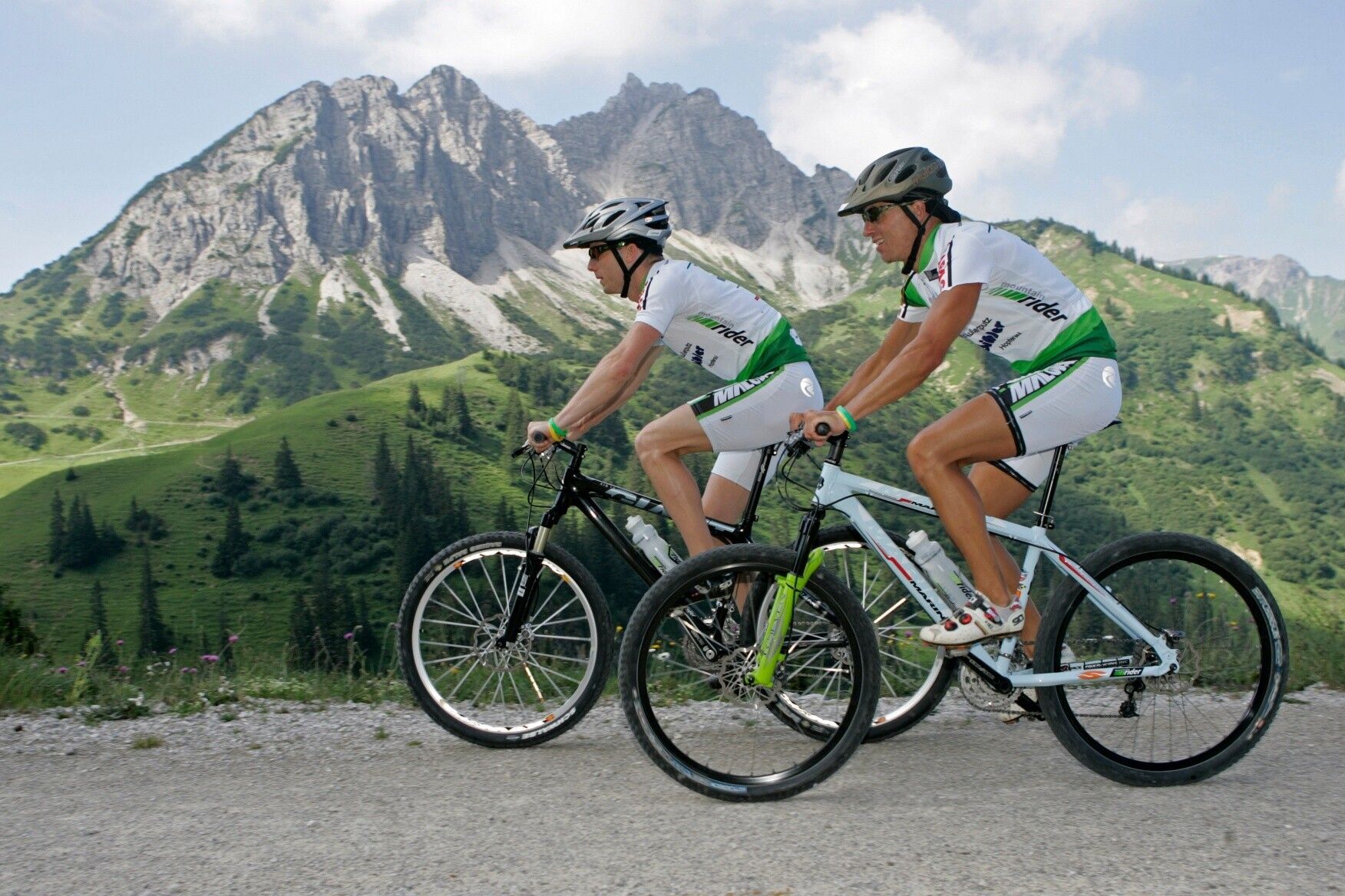
It’s all about the right mix—and that goes for the mountain biking options in the Tyrolean Tannheimer Valley, too. Anyone who gets on their bike here can choose from 15 trails and more than 300 kilometers of mountain biking for every skill level and fitness level. All routes can be combined and are clearly marked.
Blue Route—Easy
Mountain bike beginners, experienced touring cyclists, and e-bike riders alike should follow the blue signage in the Tannheimer Valley. The trails, which are easy to ride throughout, have only minimal inclines and are therefore ideal for family bike outings that are anything but monotonous: The Kneipp Loop, for example, offers a refreshing descent depending on your mood. After all, the nearly six kilometers and 198 meters of elevation gain are all the easier to tackle with well-circulated legs.
Red Route – Moderate Difficulty
Anyone who sees red in the Tannheimer Valley has something to look forward to: moderate-difficulty, scenic mountain bike trails that require athletic cycling skills and particularly defensive riding. Scenic Tour Tip: On the approximately 11-kilometer-long “Haldenrunde,” cyclists cover nearly 500 meters of elevation gain and, upon reaching the Berghotel Zugspitzblick at the top, are rewarded with a sweeping view of the Tannheimer Valley and the Rote Flüh and Gimpel mountains—the landmarks of this high Tyrolean valley. On a clear day, the view even extends as far as Germany’s highest mountain.
Black Route – Difficult
A total of 3 tours are classified as difficult—not least because of their length—and require good physical conditioning and mountain biking experience. Take, for example, the route to the Raaz Alpe, where 47 kilometers and 1,512 meters of elevation gain await mountain bikers. The diversity of the Tyrolean high valley is on full display on the “Valley Loop”: Spanning 67 kilometers and 1,280 meters of elevation gain, the route offers the full spectrum of mountain biking. By the way, riders can join or leave the “Tour de Tannheimer Tal” at any point
---> Tip: The Tannheimer Valley is the starting point for the Bike-Trail-Tirol, the longest continuous loop for mountain bikers in the Alps at 1,000 kilometers.Directions:
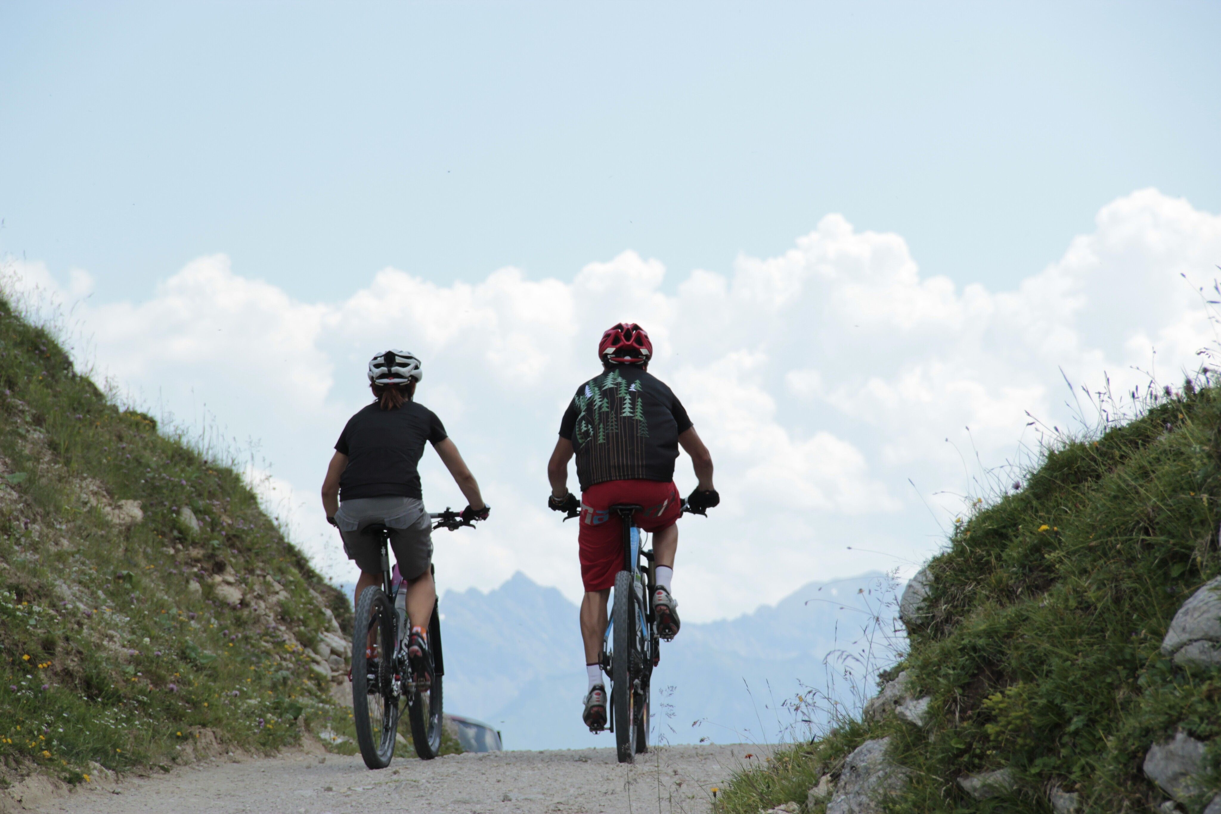
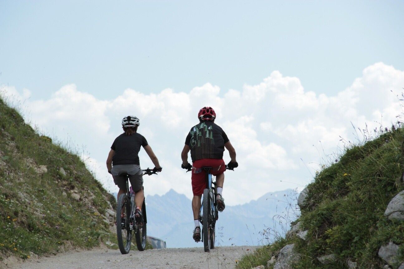
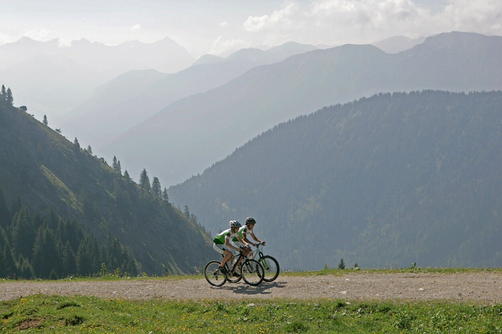
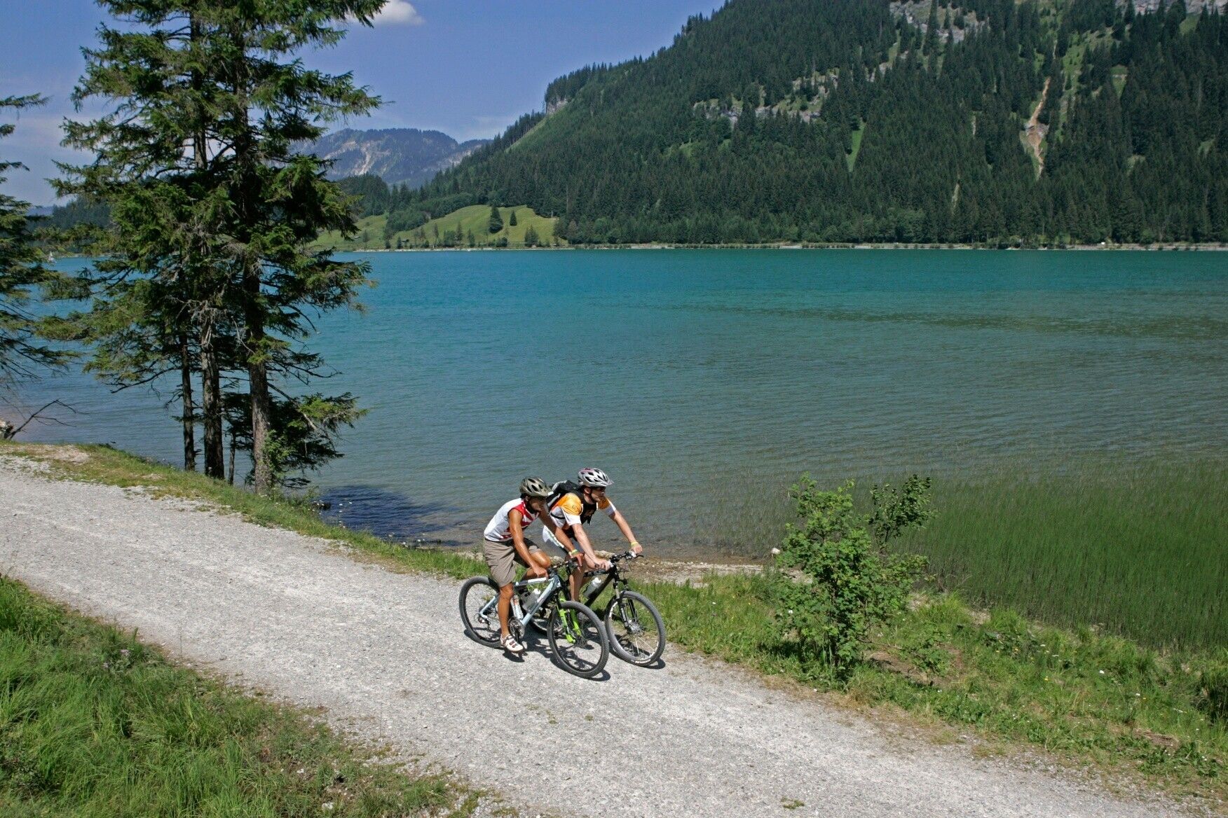
The tour starts at the lower end of the Sonnenbergbahnen Grän-Füssener Jöchle ski lift parking lot. Head toward Neu Grän, continue to the end of the path where it meets the main road, and after about 100 meters, turn right again toward “Adlerhorst.” The route to the “Berggasthof Adlerhorst” is easy to ride and leads through sparse woodland, past raised bogs, and past beautiful scenic viewpoints. From the “Adlerhorst,” the route continues on to Nesselwängle. Pass the parking lot in Schmitte and follow the signs to the Krinnenalpe parking lot. Heading west, the route leads through meadows and later along the shore of Lake Haldensee to the “Tauschers Alm.” Ride through the village of Haldensee; after the chapel, turn right toward Waldwinkel and follow the signs back to the starting point of the tour.Tip:
A spectacular view of Lake Haldensee and the valley.Safety guidelines:
Please note that mountain biking involves an increased risk of accidents and injuries. Even with careful trip planning, a basic level of risk always remains. Preparing for a trip through endurance training, appropriate technical training and continuing education, as well as personal caution, reduces the risk of accidents and other hazards. However, please never forget that the weather in the mountains can change very quickly. Stay on the marked trails.
Ride on the “safe side” in the Tannheim Valley
In Austria, mountain biking is generally prohibited by law on all forest and hiking trails, with the exception of mountain bike trails that have been expressly authorized for this purpose. The entrances to forest roads are sometimes marked with no-entry signs and additional information such as “No Bicycles.” Hiking trails do not display these prohibition signs; however, riding on them is still prohibited.Equipment:
Personal equipment must be safe, in good working order, and meet the relevant technical standards. All mountain bikers are advised to research their planned tours in specialized literature or on-site.
A full set of mountain biking gear is strongly recommended, even for experienced riders!Additional information:
Tannheimer Valley Tourism Association

