
Opening hours:Today closed
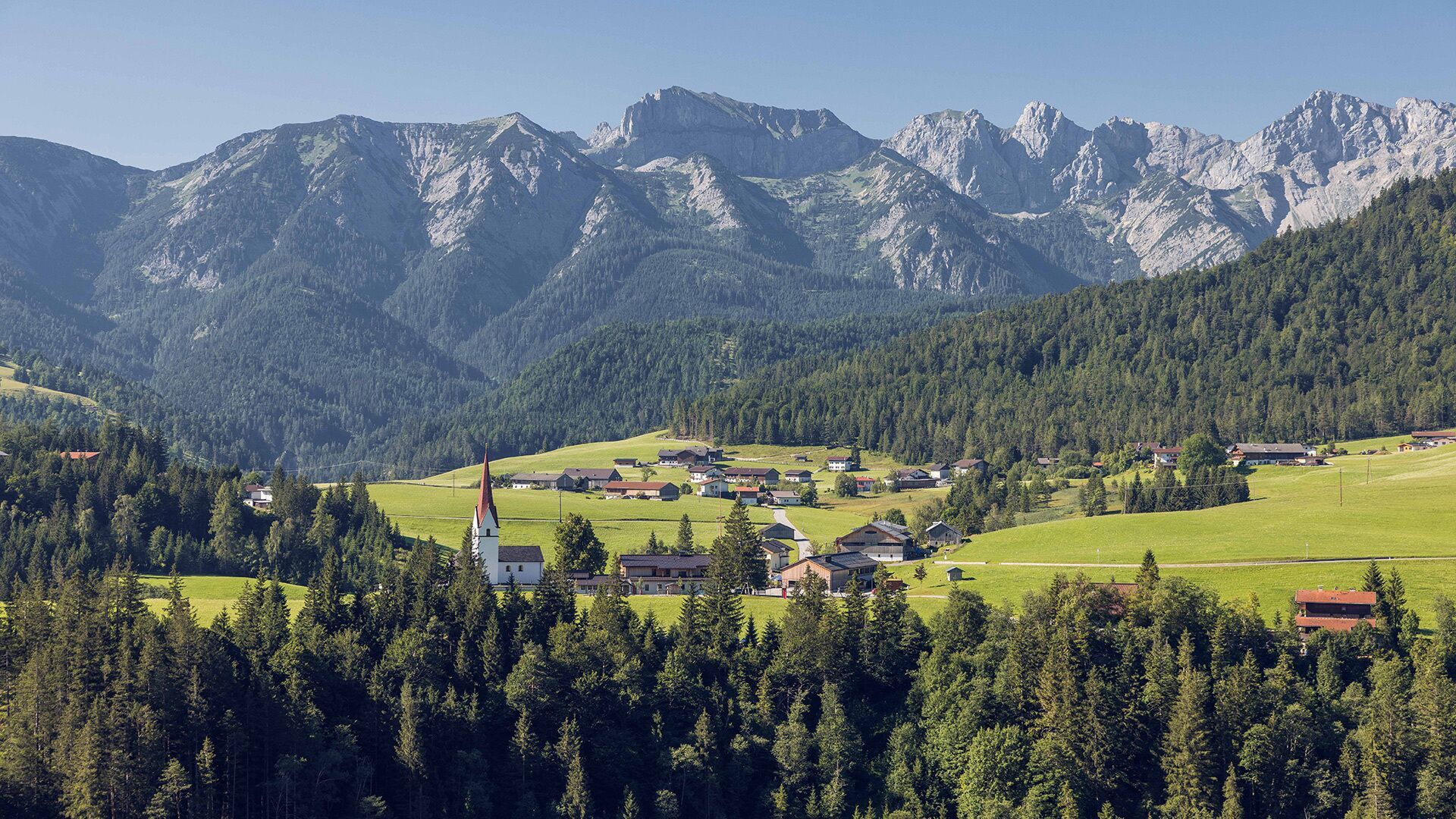
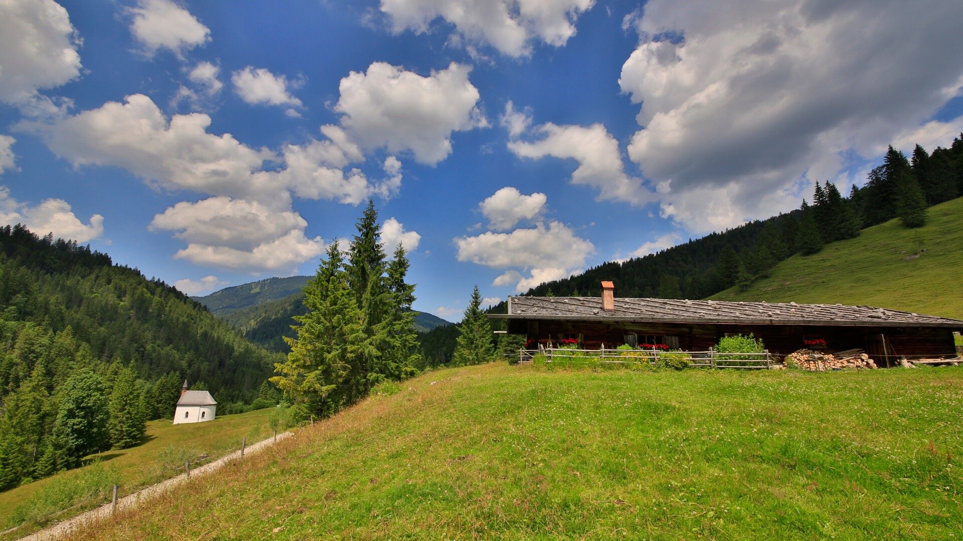
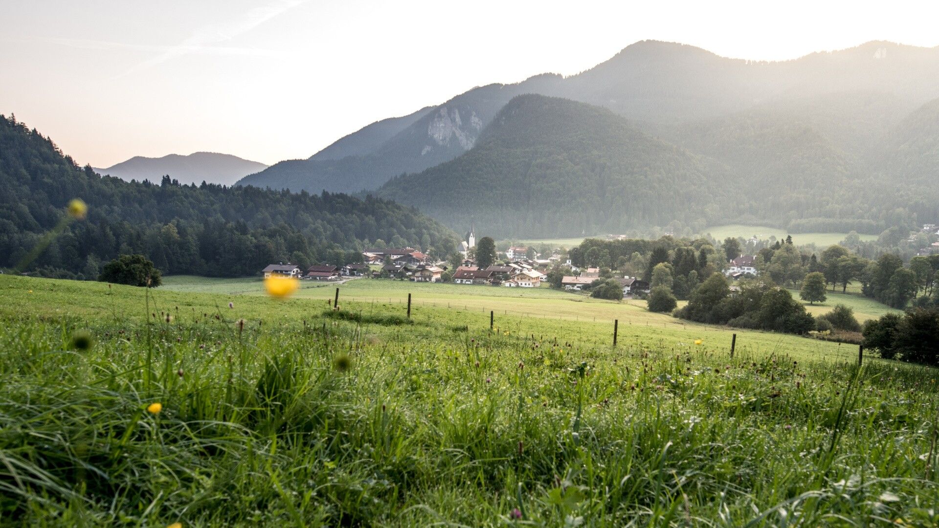
Place:Steinberg am Rofan
:Restaurant
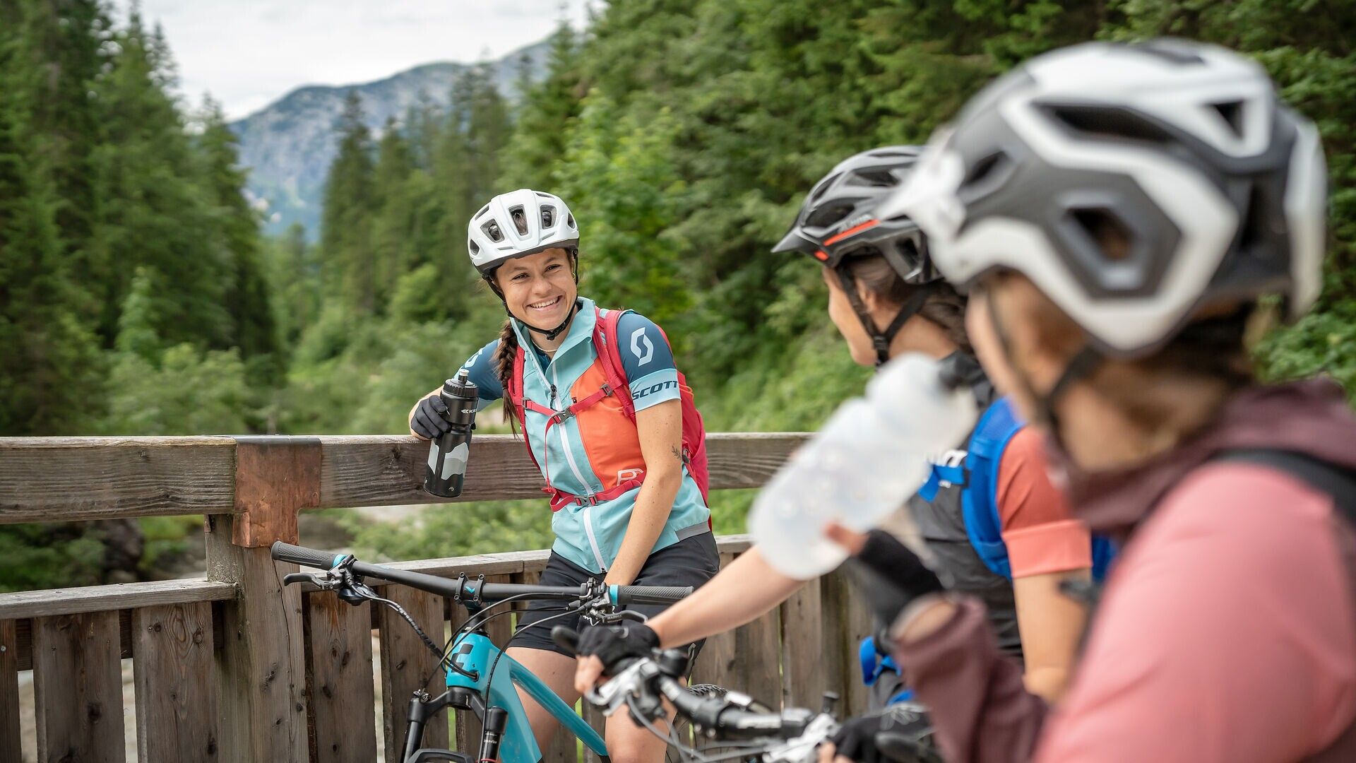
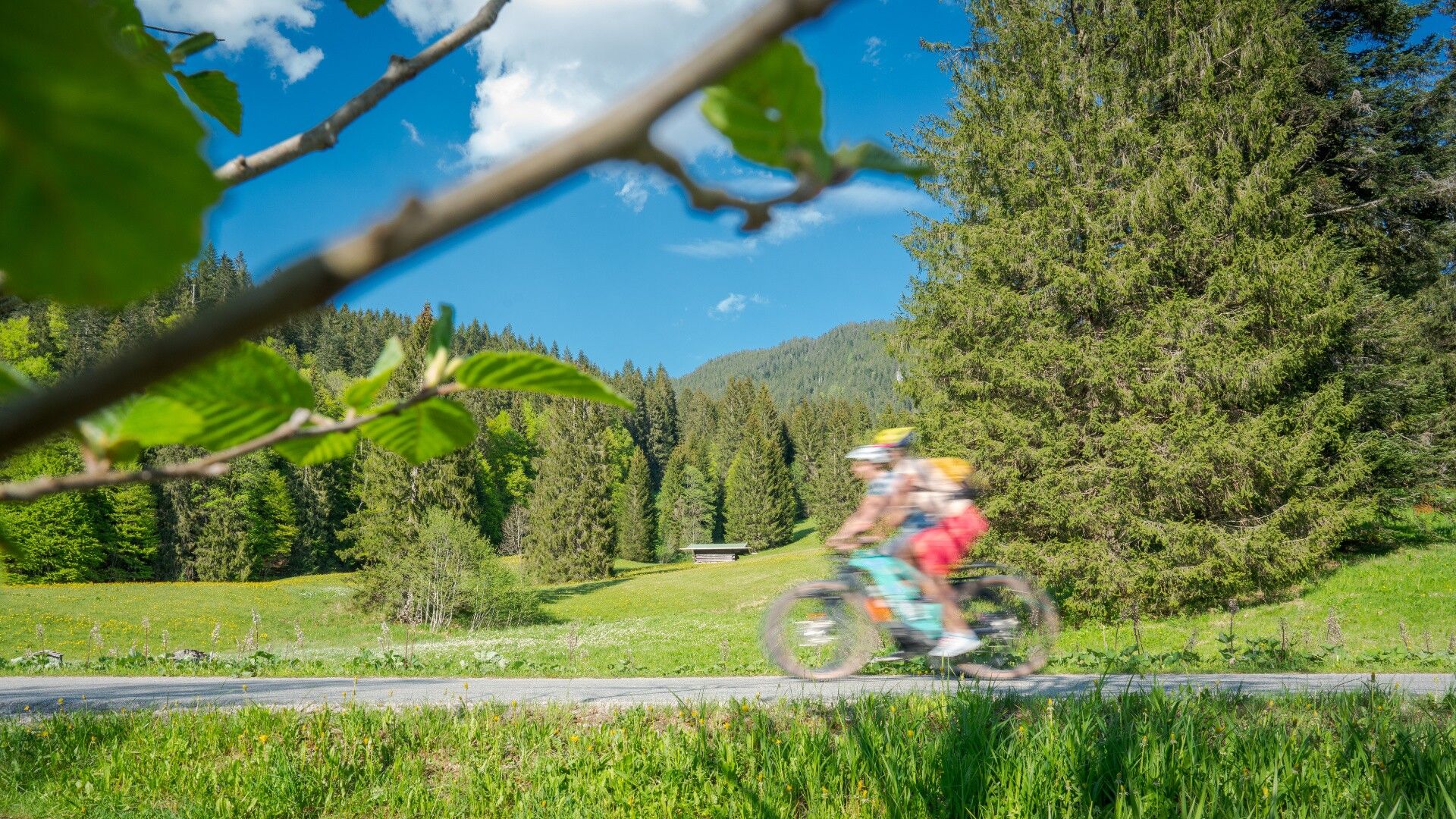
A challenging full-day e-mountain bike tour (approx. 85 km) between the mountaineering villages of Steinberg am Rofan and Kreuth (Germany). No steep climbs, but varied scenery, beautiful views and several places to stop for food and drinks. Also suitable for gravel bikes.
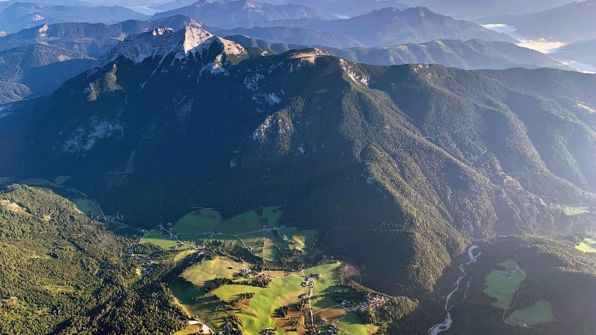
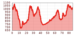
Key stops on this circular E-MTB tour (short overview): Steinberg am Rofan – Pinegg – Kaiserhaus – Erzherzog-Johann-Klause – Valepp (Germany) – Kreuth (Germany) – Achenwald – Steinberg am Rofan
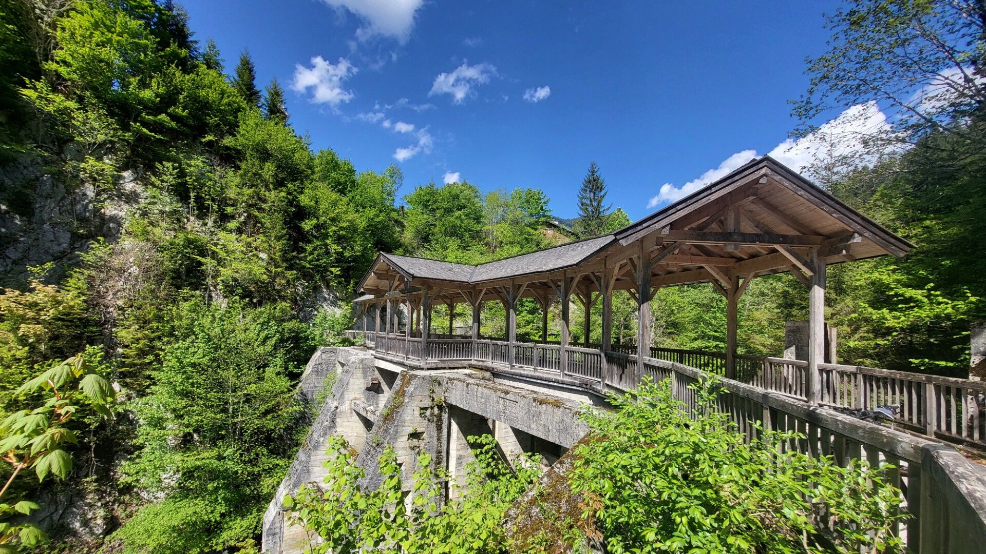
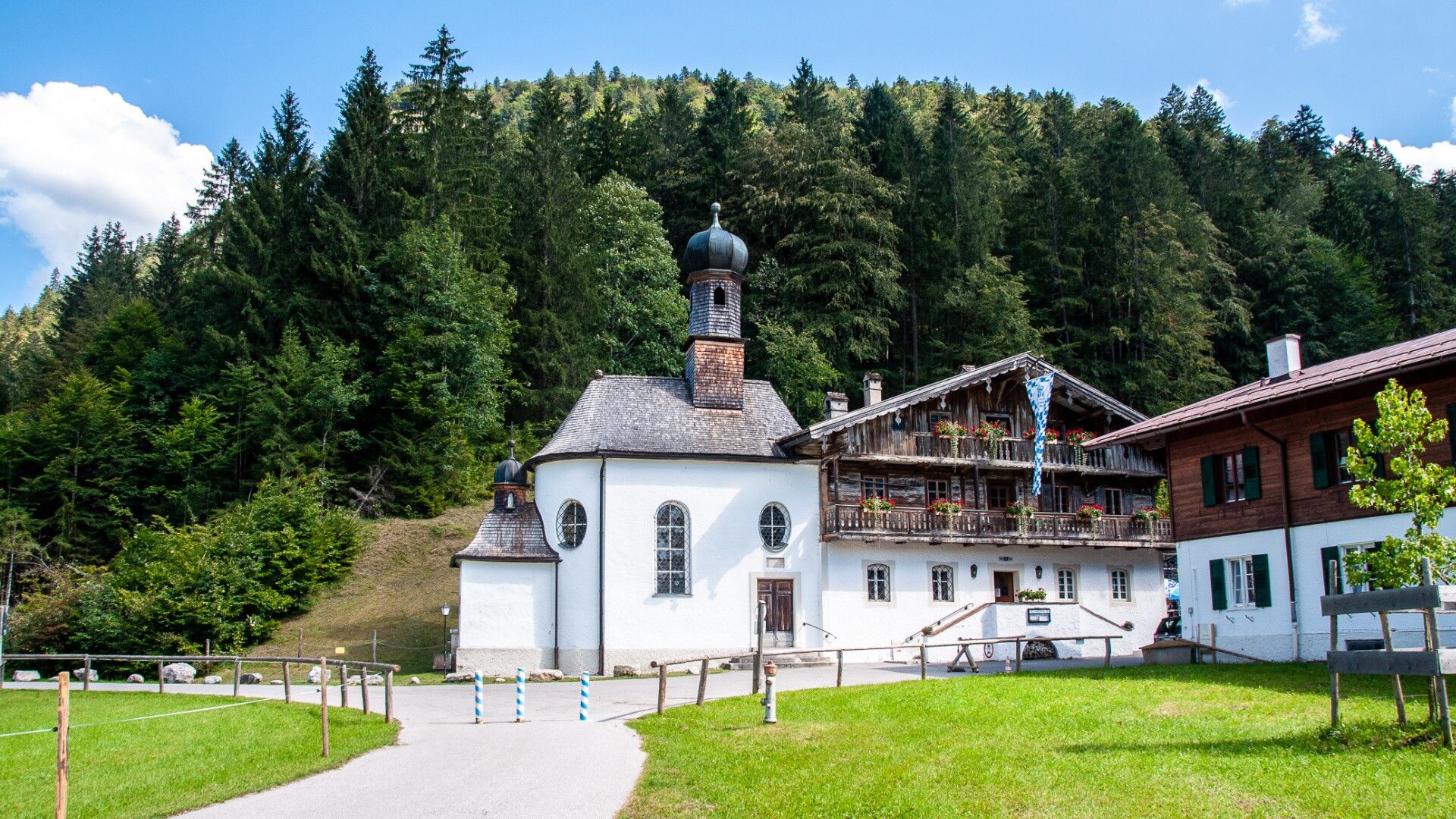
Starting in Steinberg am Rofan, the route first leads via Außersteinberg and the so-called “Gang” forestry road downhill to Pinegg. From there, the tour continues along the Brandenberger Ache river to the traditional Kaiserhaus. Nearby, a worthwhile short walk leads to the impressive Kaiserklamm gorge.
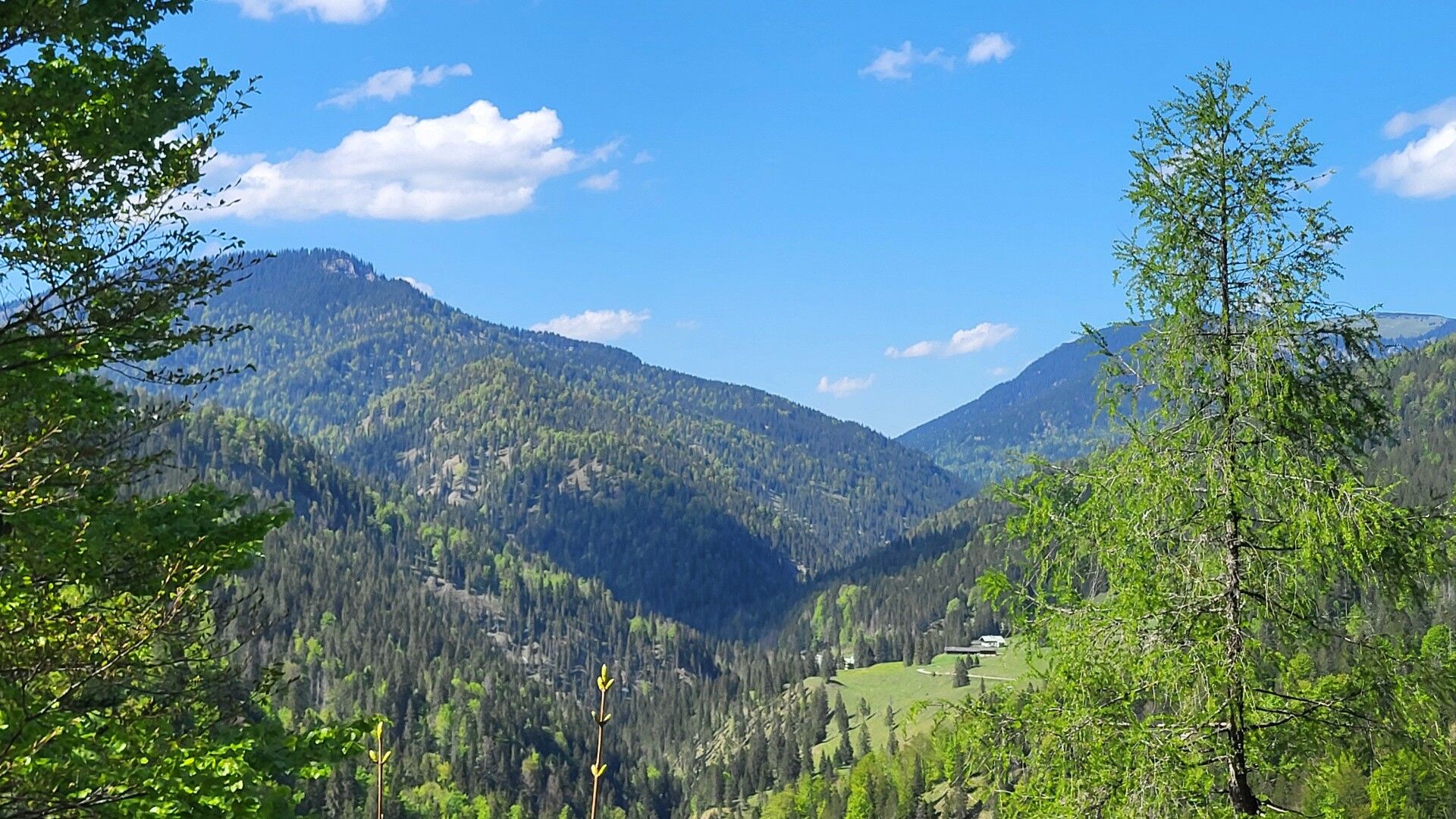
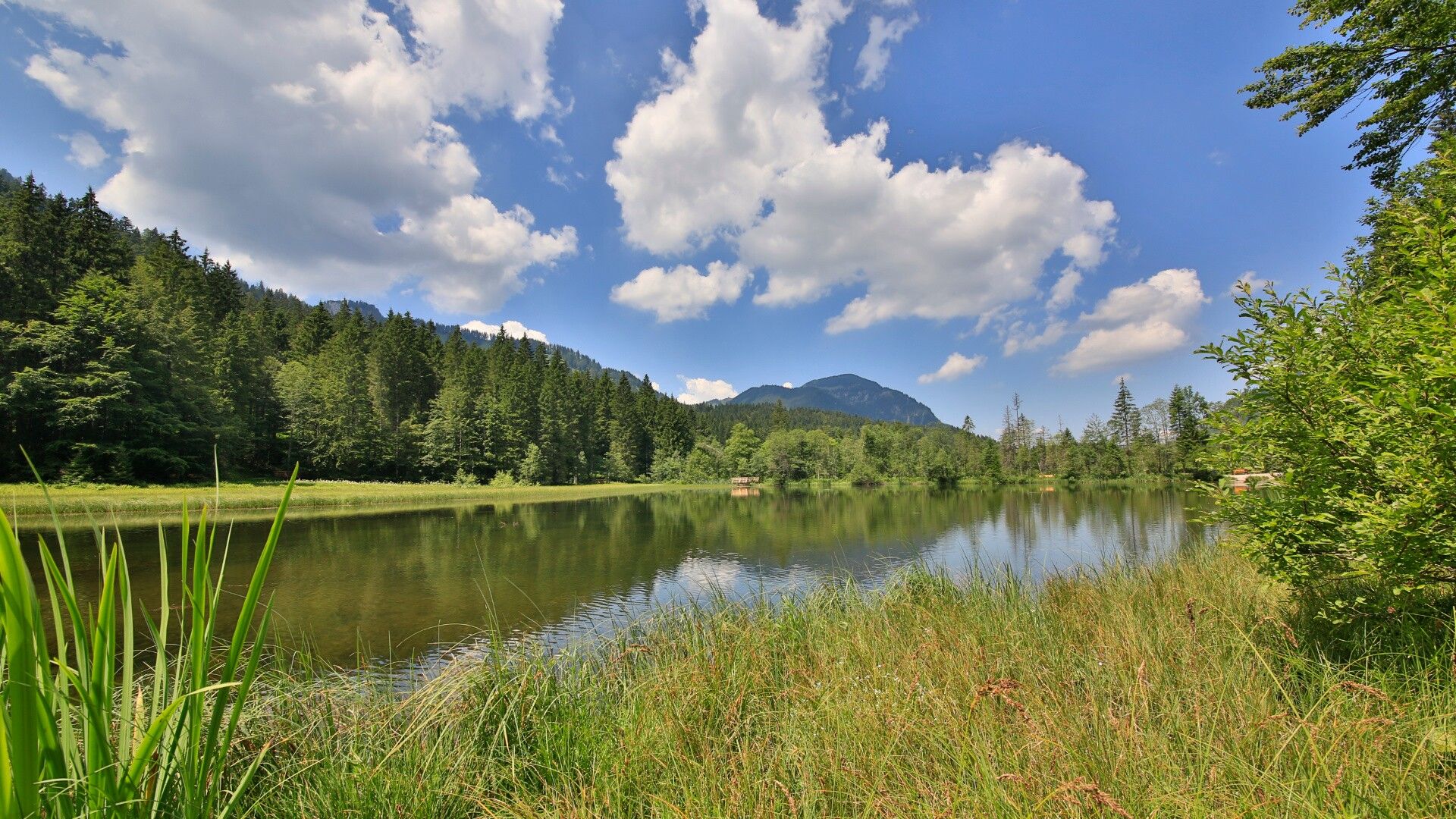
The route then climbs to the Erzherzog Johann Klause, a historic timber drift structure from the 19th century. Today, it is open as a popular refreshment stop. Following the Brandenberger Ache, the tour continues towards Valepp, passing the former Forsthaus Valepp. Via the Wechsel area and the Ankerstube, the route continues towards Enterrottach. From there, the trail leads through Unterwallberg, Wolfgrub, Sonnenmoos and Oberach to Rottach-Egern.
The route then continues through the idyllic Weißach floodplains to Kreuth. Along the Weißach river, the cycle path leads to the Achen Pass. The route (München–Venezia / Achenseeradweg No. 29) then runs parallel to the main road through Achenwald to Achenkirch.
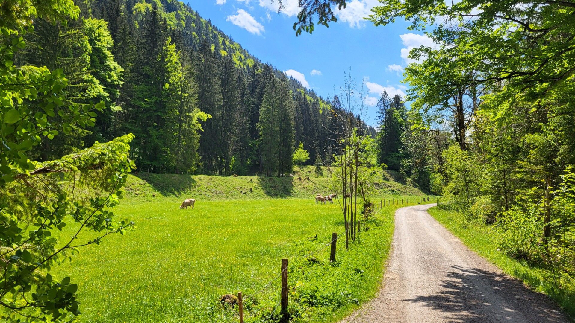
The return to Steinberg am Rofan is either via the old Steinberg road (MTB Route 433 Alte Steinbergstraße) or alternatively along the main road back to the starting point.
Note:
The indicated riding time is based on e-bike use.The distance indicated is for the complete loop.
Take the regional bus (lines 4080 and 7801) to Steinberg am Rofan and get off at the "Steinberg a. R. Kirche" stop.
Car park Gemeindeamt Steinberg am Rofan (free of charge)


")


")

_FULL110.jpg")


")


