Arrival by public transport
Lines 210, 220, 273
Prutz Inn Bridge
Lines 210, 220
Ried Town Hall
The mountain bike route from Ried/Prutz - Fendels not only offers a marvellous landscape, but also varied routes.
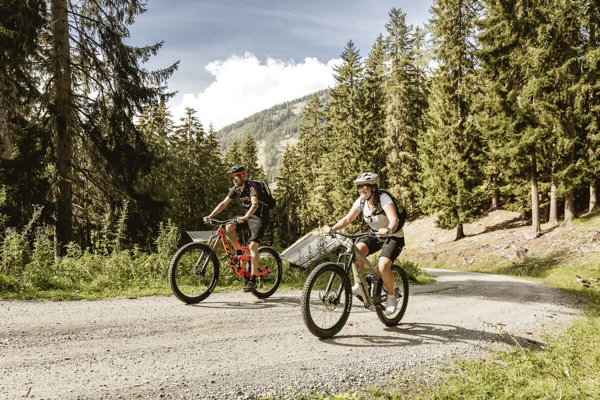
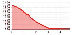
The tour can be started either directly at the Prutz information office or at the Gemeindeamt in Ried and takes around 45 minutes. The route begins on a tarmac cycle path that leads to the outdoor pool in Prutz. From there, you cross the car park to the main road and then turn right and then immediately left towards Fendels. After a few metres, a forest path branches off to the right. Follow this for almost a kilometre until it leads into a narrow forest path. This leads steadily uphill and after about 450 metres you reach a small chapel. There are a few more hairpin bends to negotiate until you finally reach the Fendler Dorfstraße. From there, turn right to reach the village centre and the cable car.
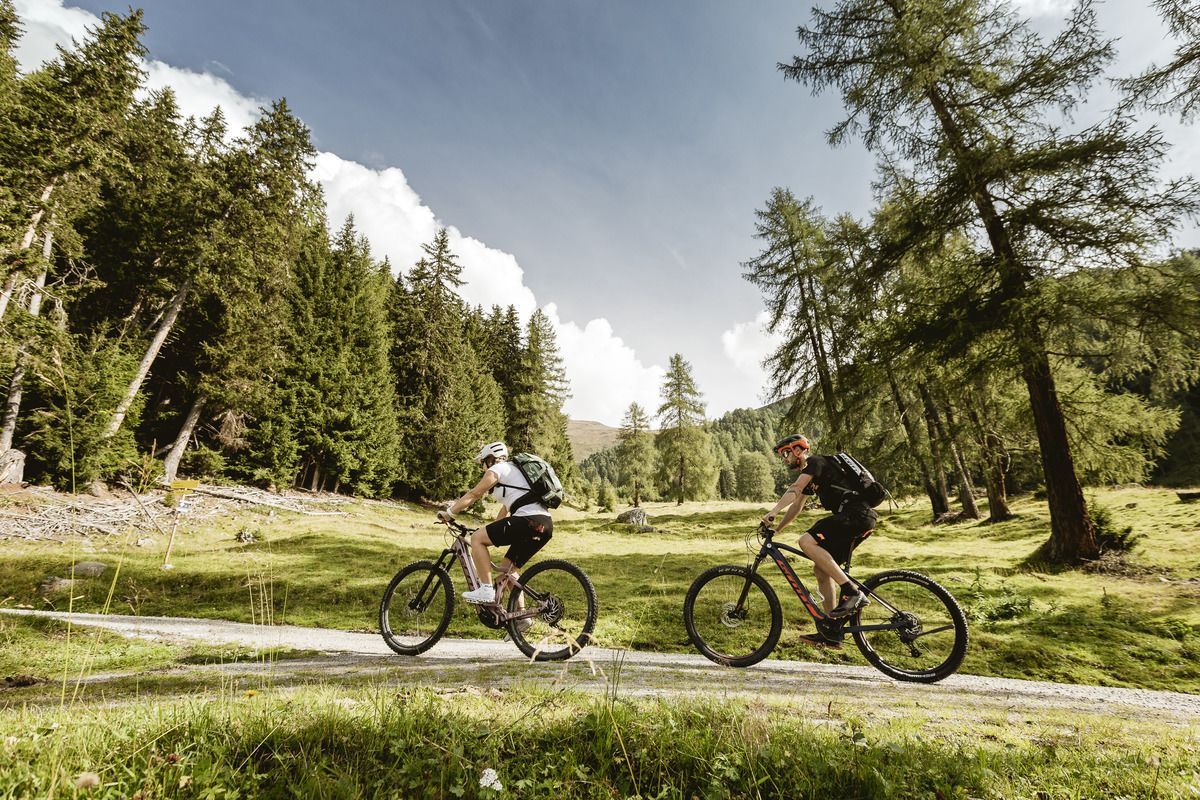
The tour can also be started the other way round, starting at the municipal office or the information office in Fendels. Follow the Dorfstraße down to the entrance to the village and then turn left onto a dirt track. Follow the signs until you reach a small chapel after a few hairpin bends. Continue for approx. 450 metres along a forest path. The initially narrow path then leads into a wider forest path and continues for approx. one kilometre through the Leitenwald forest to Prutz. At the end of this path, you come directly onto a tarmac road that ends in the area of the Prutz swimming pool. From there, you can continue along the long-distance cycle path to the Prutz information office or to Ried im Oberinntal.
Lines 210, 220, 273
Prutz Inn Bridge
Lines 210, 220
Ried Town Hall
Ried Lake, free of charge
")
.jpg")
.jpg")

.jpg")
