Road bike tour Regional route Hall-Wattens

Hall in Tirol / Tuxer Alpen
Difficulty ratings: difficult
Route length: 51.5 km
Duration: 3:45 h

On this route you get to know our region. Mostly it goes along secondary roads with wonderful views and through some villages of the region.

Tour information

  • Requirement: difficult
  • Length: 51.5 km
  • Duration: 3:45 h
  • Elevation uphill:1,317 hm
  • Elevation downhill:1,314 hm
Highest point1,043 m

Starting point

Hall in Tirol

Finishing point

Hall in Tirol
  • Fitness level 5 / 6

Best time of year

  • January
  • February
  • March
  • April
  • May
  • June
  • July
  • August
  • September
  • October
  • November
  • December
Source: Region Hall - Wattens

Description

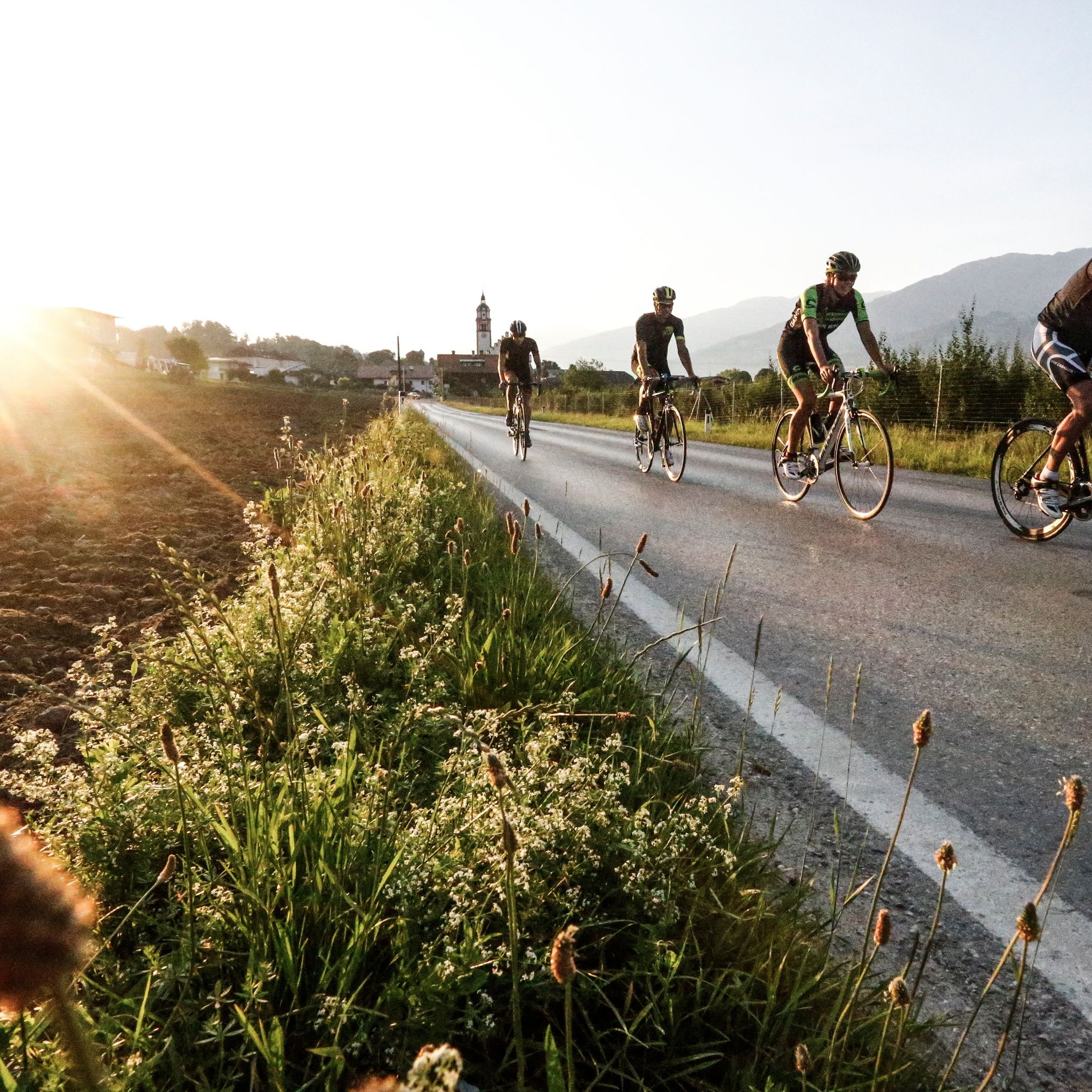
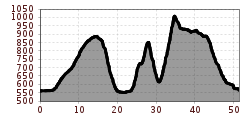
We start in Hall in Tirol and first ride a bit westward until we master a short climb to Thaur. Then it continues above Absam to the Gnadenwalder plateau.

From here there is a brisk descent down to Fritzens and Wattens. Then immediately uphill again at Großvolderberg and via Kleinvolderberg further on to the Tulfer plateau.

From here it goes via Rinn and Aldrans and via Ampass back to Hall.


Nearby huts and mountain restaurants

Getting here

  • Arrival by public transport

    By S-Bahn or bus to Hall

  • Parking

    Sufficient parking available in the parking garages in Hall

Newsletter

The mountain is calling? So does our newsletter!

In our monthly newsletter we reveal the best holiday tips for Tyrol.