Mountainbike-Tour Rettenschöss - Karspitze - Feistenau

Rettenbach / Chiemgauer Alpen
Difficulty ratings: medium
Route length: 13.1 km
Duration: 2:30 h

Path No. 347

Tour information

  • Requirement: medium
  • Length: 13.1 km
  • Duration: 2:30 h
  • Elevation uphill:712 hm
  • Elevation downhill:670 hm
Highest point1,253 m

Starting point

Rettenschöss

Finishing point

Rettenschöss
  • Fitness level 3 / 6
  • Technique 3 / 6

Features

  • Circular route

Best time of year

  • January
  • February
  • March
  • April
  • May
  • June
  • July
  • August
  • September
  • October
  • November
  • December

Trail condition

Asphalt, gravel

Equipment

Appropriate clothing, sturdy shoes, backpack, rain gear, mobile phone, sun cream, snack and drinks, possibly a camera.
Source: Kitzbüheler Alpen - St. Johann in Tirol

Description

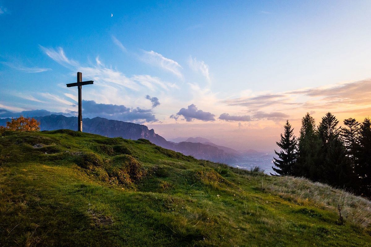
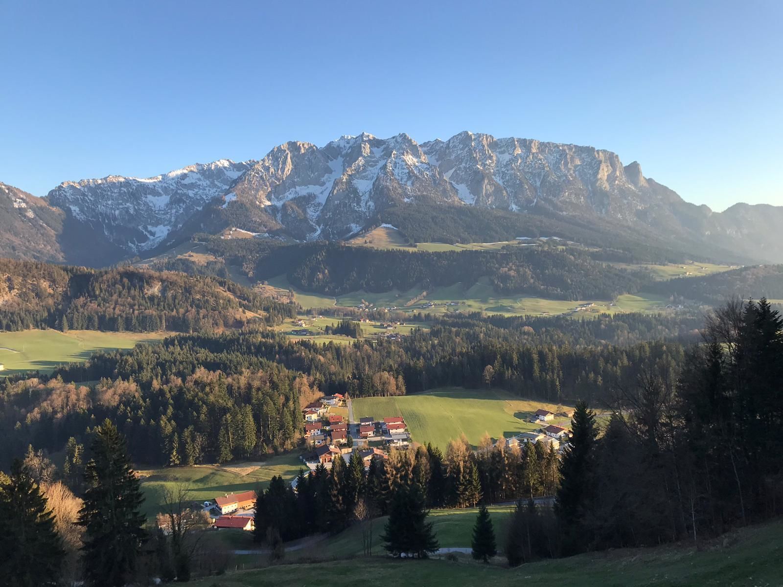
From the car park in Rettenschöss take the road to Wildbichl. Follow the road to the car park in Mannerstätt. Immediately afterwards, turn right towards Wildbichlalm. Follow the forest road until the end, here you still have a few minutes by foot to the summit cross of the Karspitz with wonderful views. Drive back the same way for about 500 m and then turn right onto the push road (no cycling for about 500 m) to Rettenbach. Turn right at the crossroads to Gasthof Schöne Aussicht and continue along the asphalt road to the starting point.
 

Nearby huts and mountain restaurants

Getting here

  • Arrival by public transport

    Bicycles are not allowed on public transport. Bicycles are allowed on buses with bicycle trailers.

  • Parking

    Parking spot at the starting point in Rettenschöss.

More tours in the surrounding area

Newsletter

The mountain is calling? So does our newsletter!

In our monthly newsletter we reveal the best holiday tips for Tyrol.