Mountainbike-Tour Rettenschöss - Wandberg

Rettenbach / Chiemgauer Alpen
Difficulty ratings: medium
Route length: 7.2 km
Duration: 1:30 h

Path No. 311

Tour information

  • Requirement: medium
  • Length: 7.2 km
  • Duration: 1:30 h
  • Elevation uphill:796 hm
  • Elevation downhill:138 hm
Highest point1,342 m

Starting point

Rettenschöss village or Feistenau

Finishing point

Wandbergalm - Burgeralm
  • Fitness level 4 / 6
  • Technique 4 / 6

Best time of year

  • January
  • February
  • March
  • April
  • May
  • June
  • July
  • August
  • September
  • October
  • November
  • December

Trail condition

Asphalt, gravel

Equipment

Appropriate clothing, sturdy shoes, backpack, rain gear, mobile phone, sun cream, snack and drinks, possibly a camera.
Source: Kitzbüheler Alpen - St. Johann in Tirol

Description

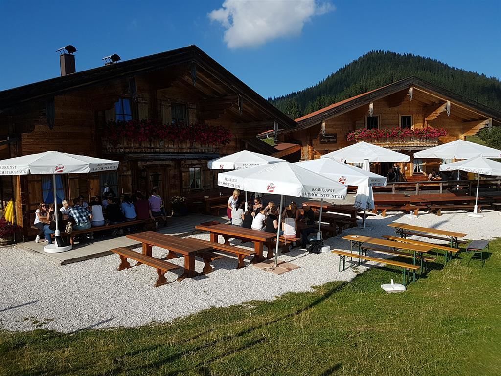
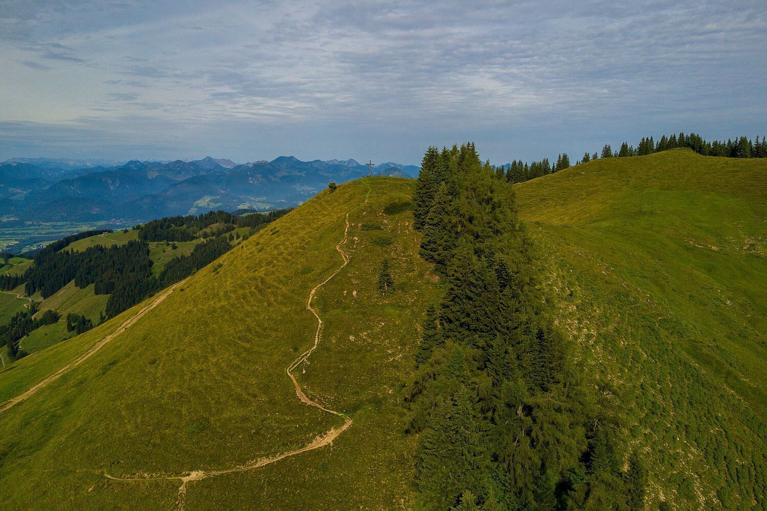
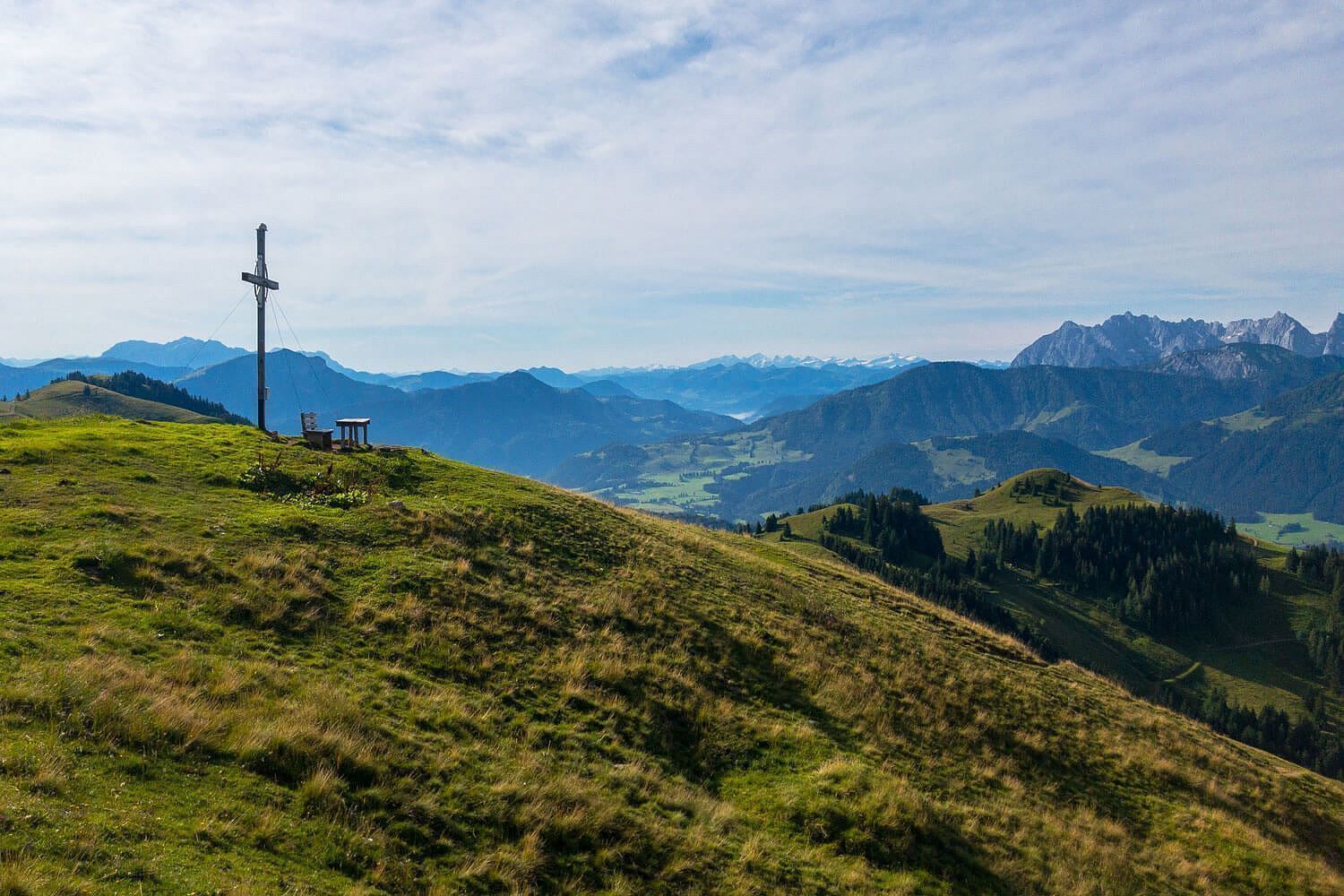
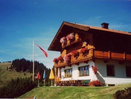
From Rettenschöss to Feistenau (Schöne Aussicht inn). Here you will also find the hikers' car park (free of charge with the Kasierwinkl Card). Then follow the asphalted municipal road for approx. 3 km. The trail then continues on a forest road with wonderful panoramic views of the Kaisergebierge and the Hohe Tauern. A detour to the Wandberg (on foot) is worthwhile and once you have reached your destination, you will reach the Wandberghütte and Burgeralm (catered).

Getting here

  • Arrival by public transport

    Bicycles are not allowed on public transport. Bicycles are allowed on buses with bicycle trailers.

  • Parking

    Parking at the starting point in Rettenschöss.

More tours in the surrounding area

Newsletter

The mountain is calling? So does our newsletter!

In our monthly newsletter we reveal the best holiday tips for Tyrol.