
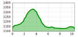
Difficulty:
medium
Length:
94.5 km
Duration:
3:45 h
Elevation uphill:
877 m
Short description:Challenging route in the Haldensee area. Technique: ***Quality of experience: ******Recommended season:MayJuneJulyAugustSeptemberOctoberProperties:LoopScenicRefreshment stops availableGeological highlightsBotanical highlightsFaunistic highlights
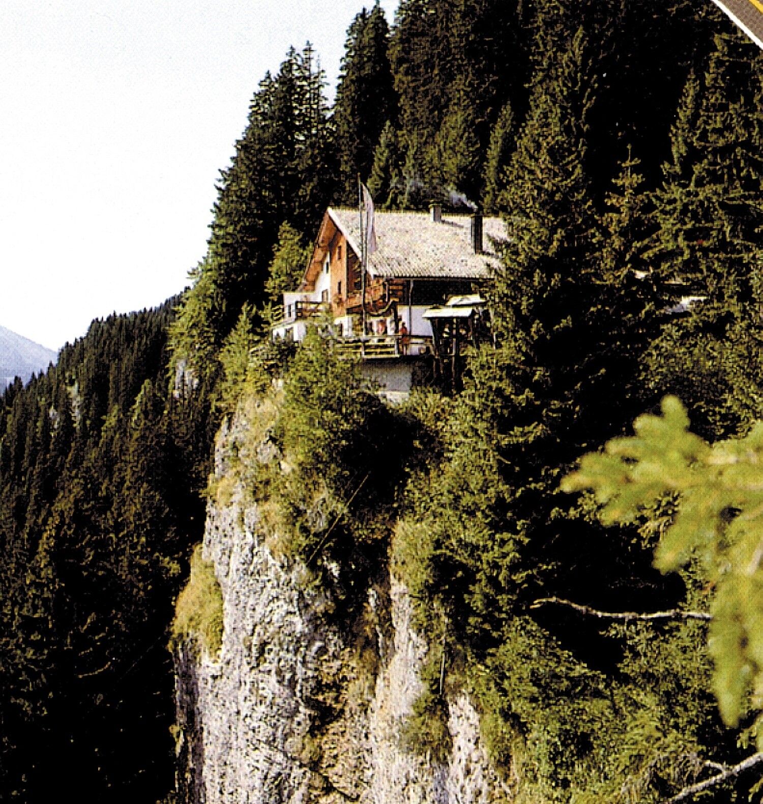
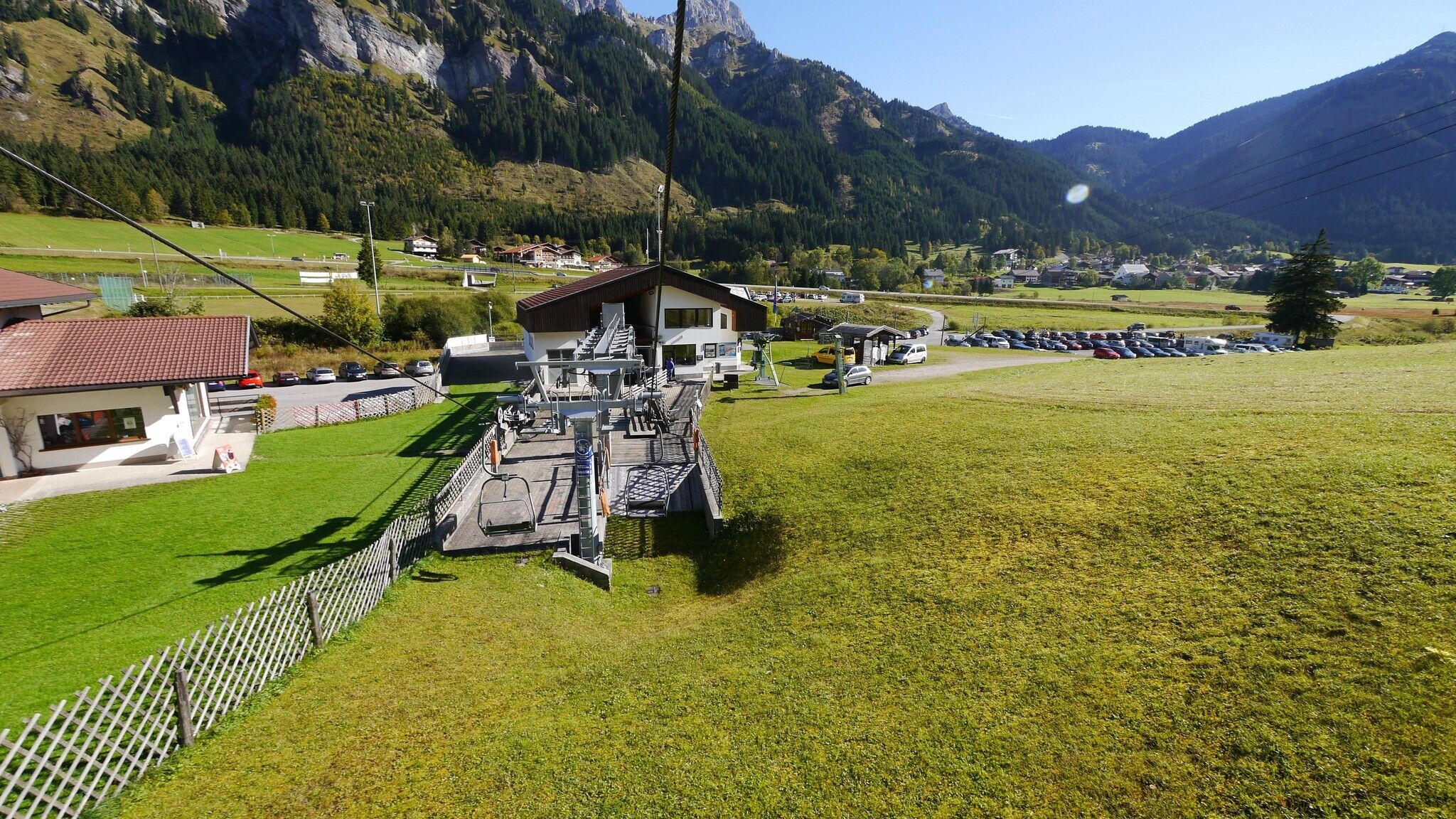
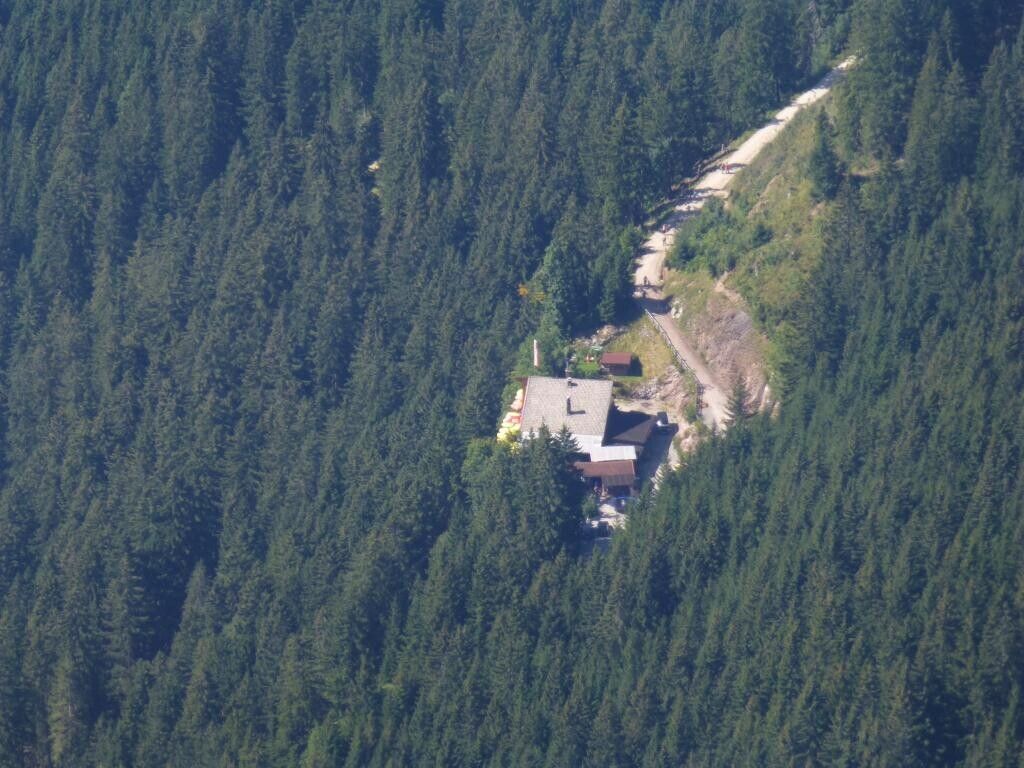
Description:
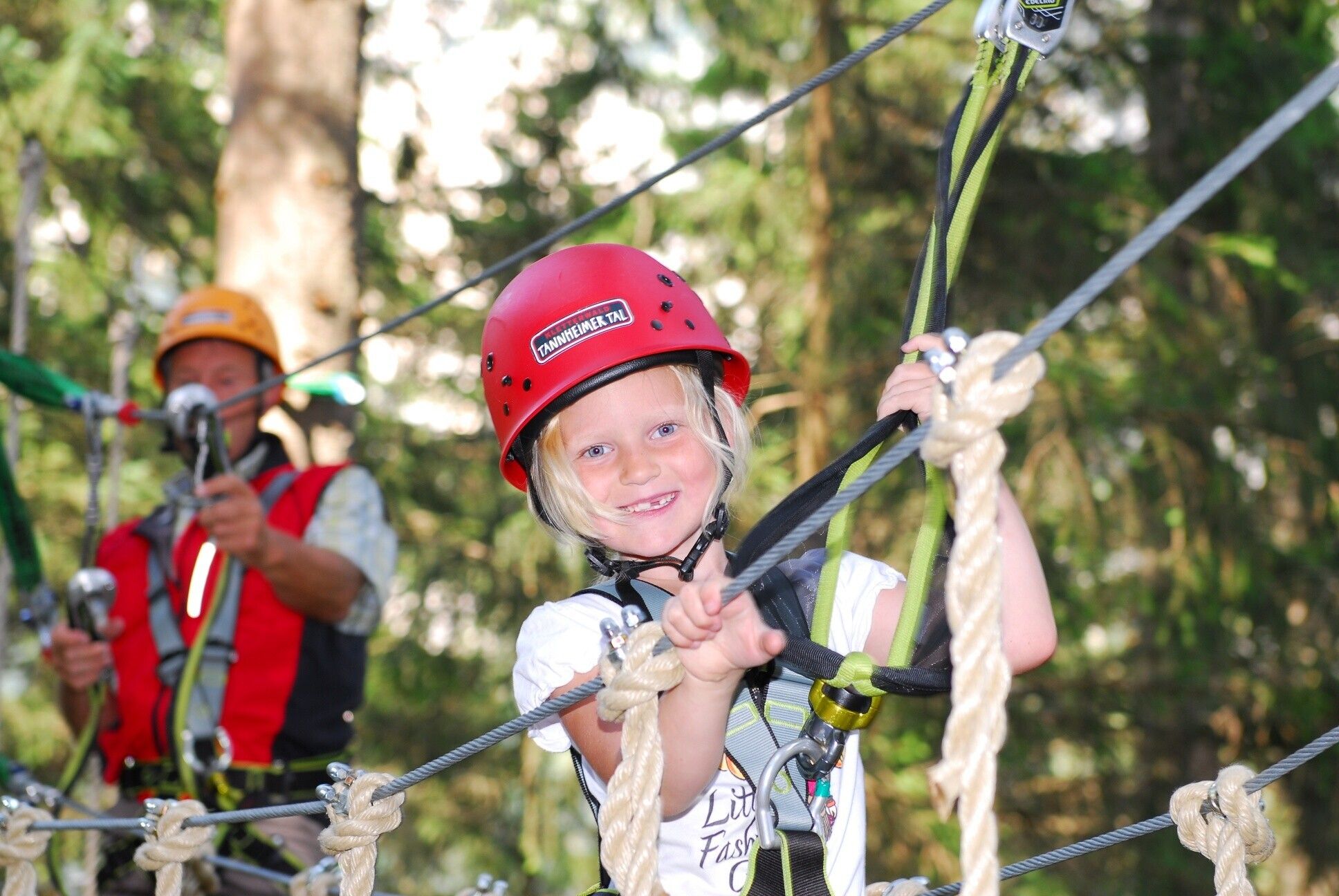
Experience the Running and Nordic Walking Arena Tannheimer Tal
Whether breathless beginner or well-trained mountain athlete: In the Tannheimer Tal, everyone who enjoys fresh air and exploring the surrounding mountains on foot gets their money’s worth. Every day, everyone active, from hobby athletes to professionals, faces a tough choice: Tyrol’s largest network of trails offers 26 marked routes spanning a total of 186 kilometers. There are beginner loops as well as challenging mountain runs. To ensure all guests know which path suits their fitness and requirements, a specially developed map and small signs provide information about the altitude profile, difficulty level, and length of the route – the Running and Nordic Walking map.
Along meadows, over green alpine pastures, past sparkling mountain lakes... Walking and running in the Tannheimer Tal is not only the best training for the body but also balm for the soul. The starting points for all movement enthusiasts are located in the six villages of Tannheim, Grän- Haldensee, Nesselwängle- Haller, Zöblen, Schattwald, and Jungholz. From here, walkers, Nordic walkers, and runners follow the signposts, which are easy to recognize by the figures with poles. Additionally, all routes, like ski runs, are classified into black, red, and blue categories. An optimal marking system that contributed, among other things, to the fact that this arguably most beautiful high valley in Europe has been officially called the "Running and Walking Competence Center" since 2005.
Directions:

.jpg")

