
The route is predetermined, but there is still scope for flexible tour planning. Because there is no shortage of places to stop for refreshments and overnight accommodation on the route over the Tannheim mountains.
35 kilometers in length, which means an average of eight to nine kilometers per day, leading through varied natural landscapes such as the Raintal, the Hahnenkamm mountains and the idyllic Lech. Just right for pleasure hikers who want to treat themselves to four relaxing days of hiking. The public transport connections are also convenient, as the starting and finishing points are Vils and Reutte train stations.35 kilometers of trail, which means an average of eight to nine kilometers per day, leading through varied natural landscapes such as the Raintal valley, the Hahnenkamm mountains and the idyllic Lech river. Just right for pleasure hikers who want to treat themselves to four relaxing days of hiking. The public transport connections are also perfect, as the starting and finishing points are Vils and Reutte train stations.



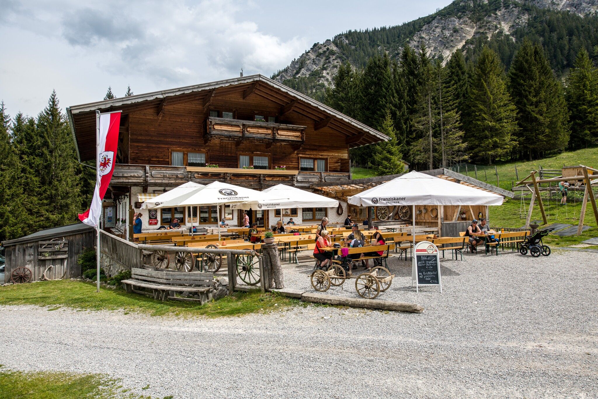

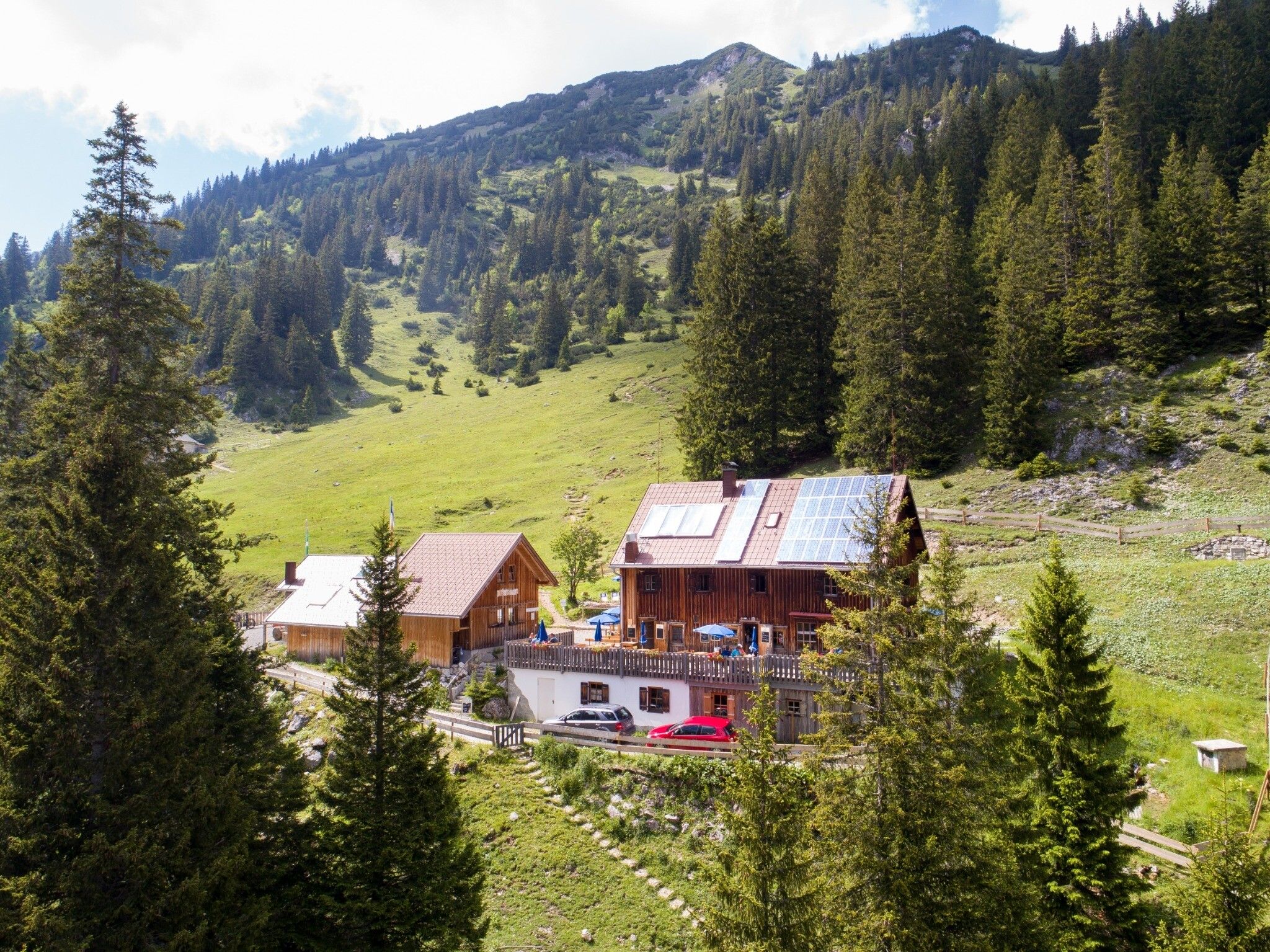

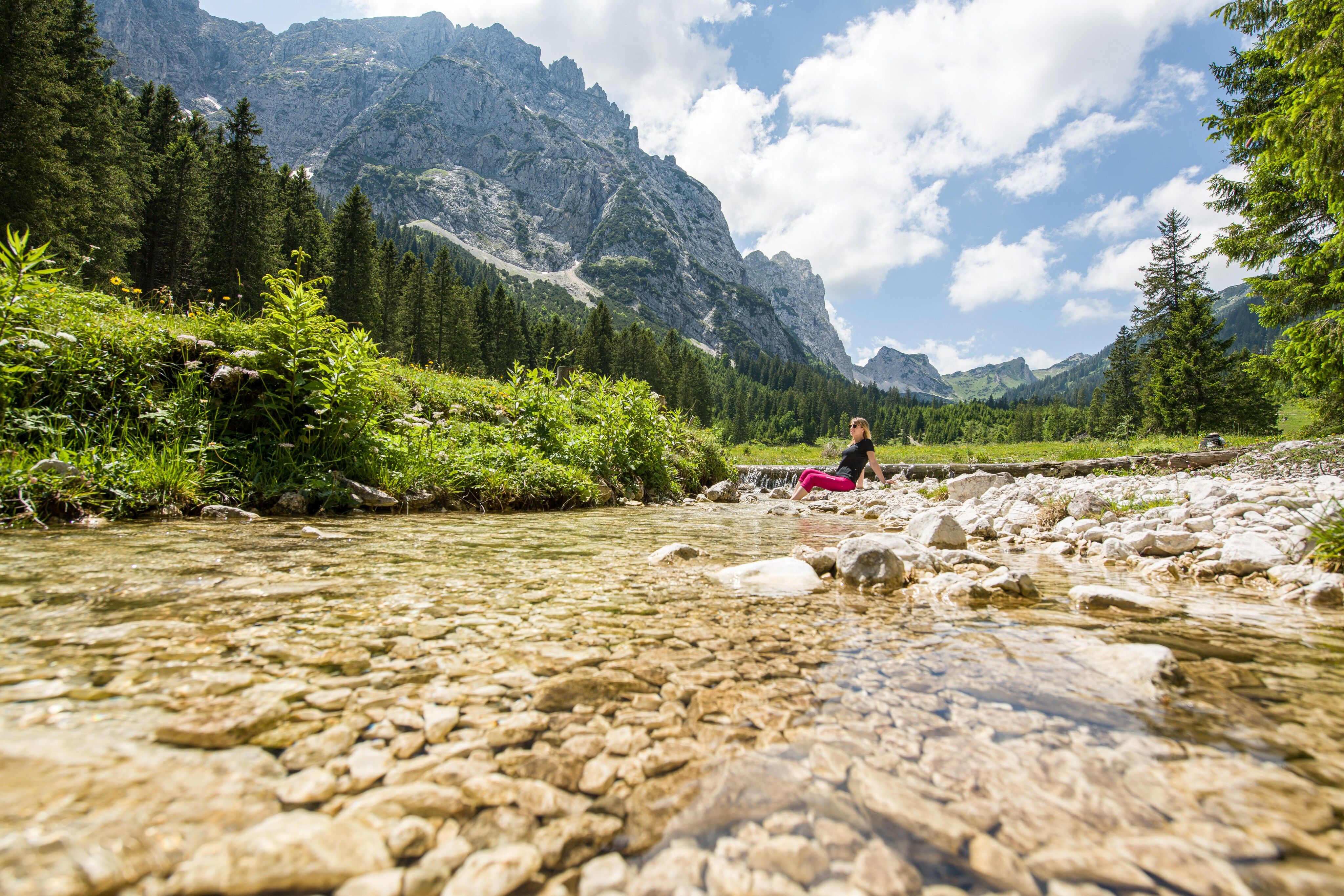
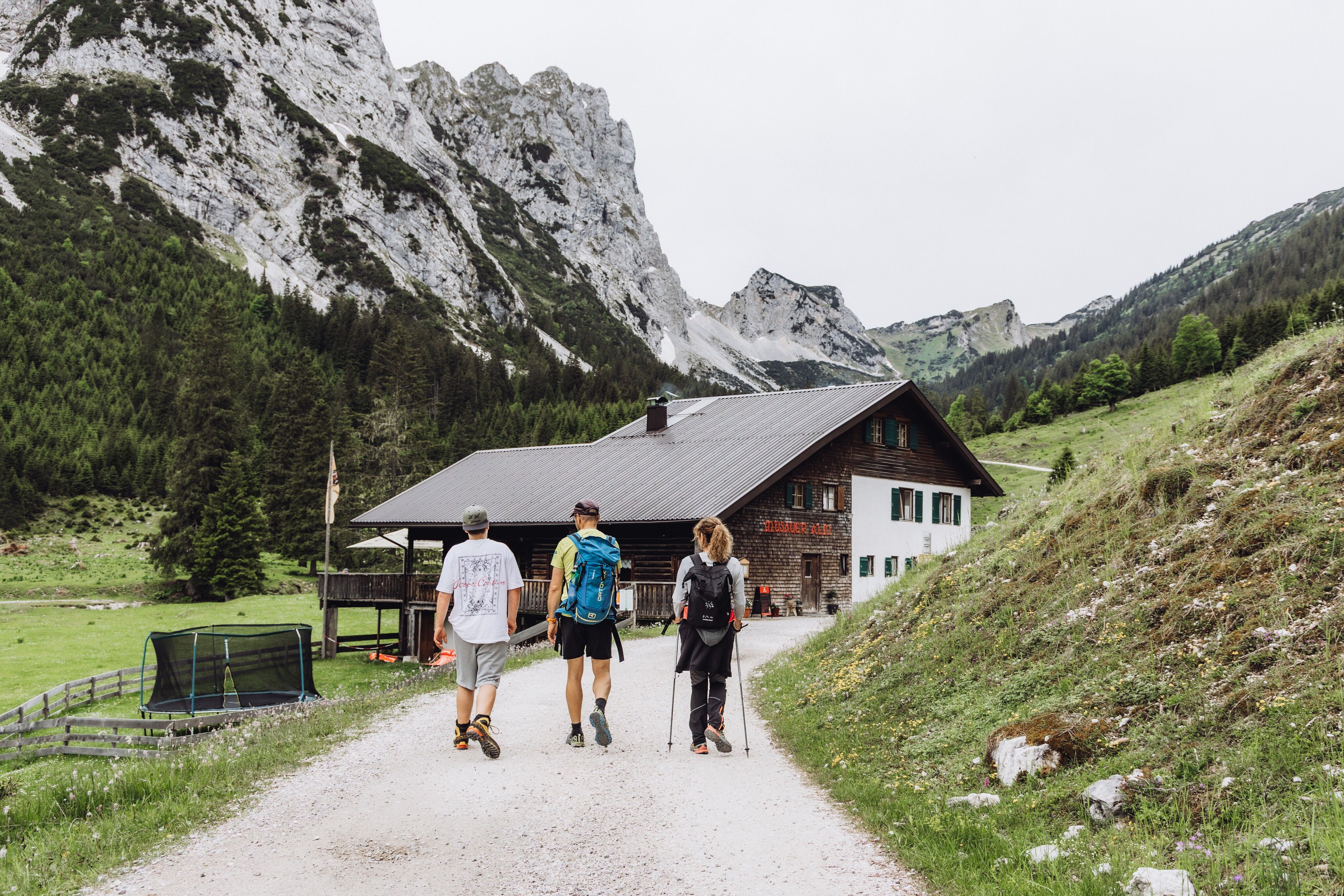
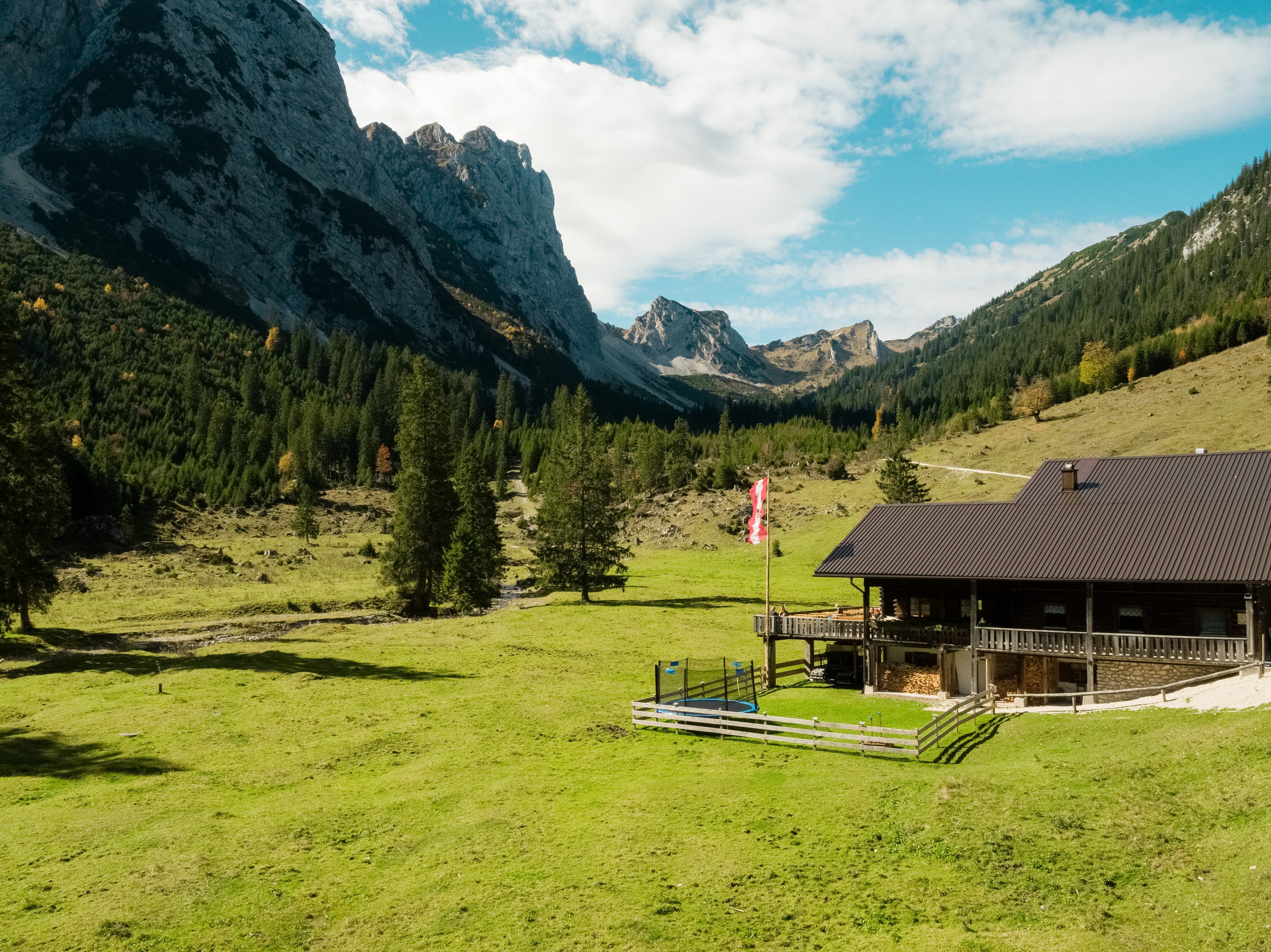
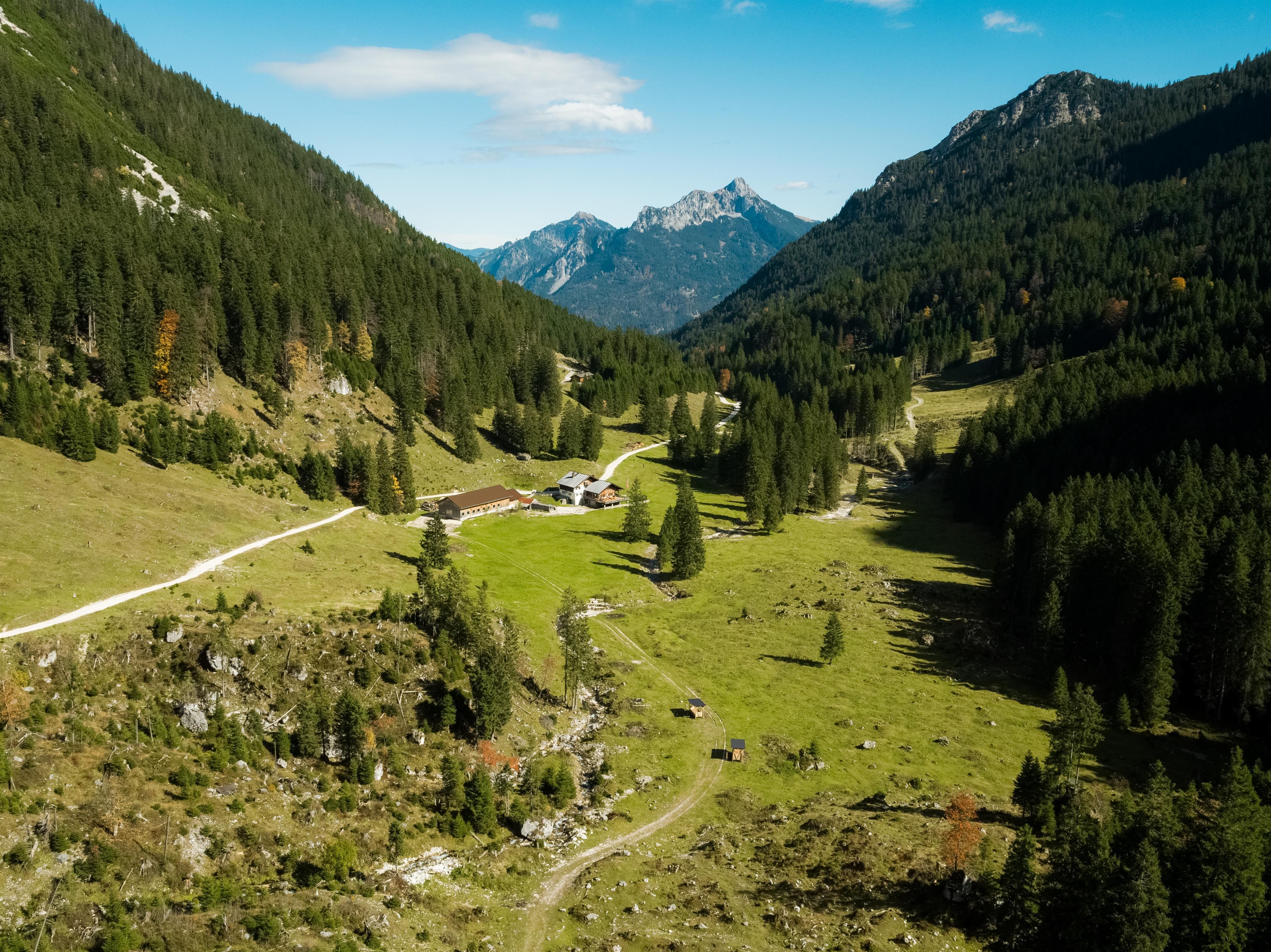
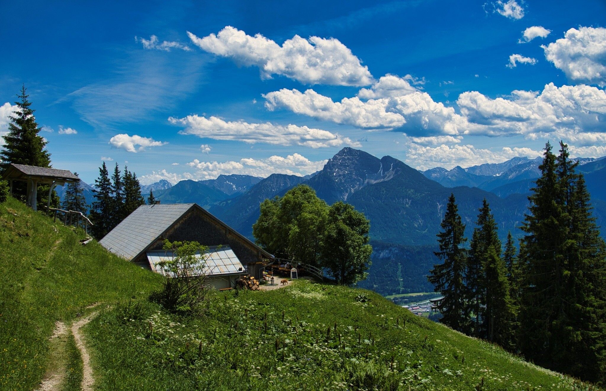
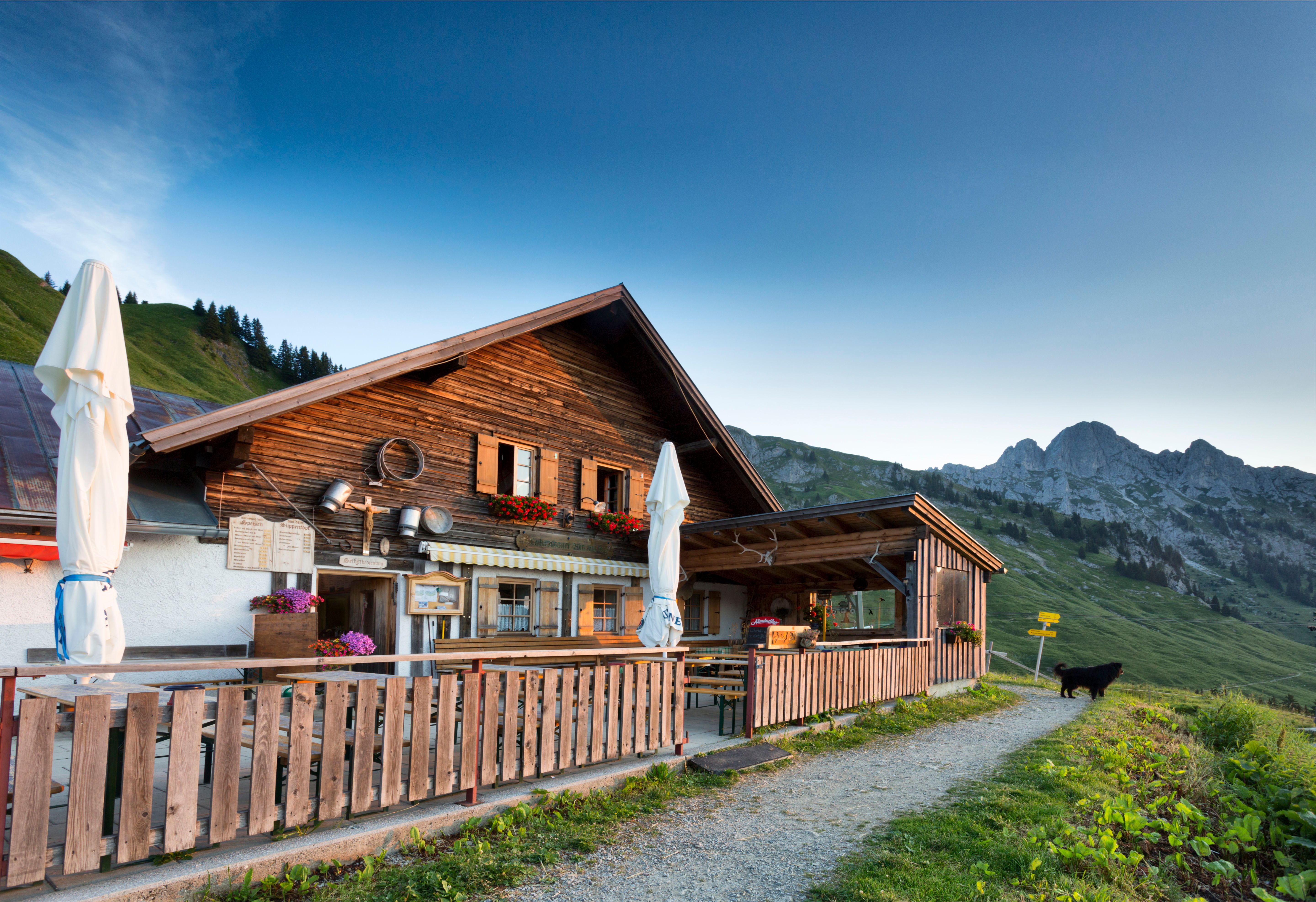
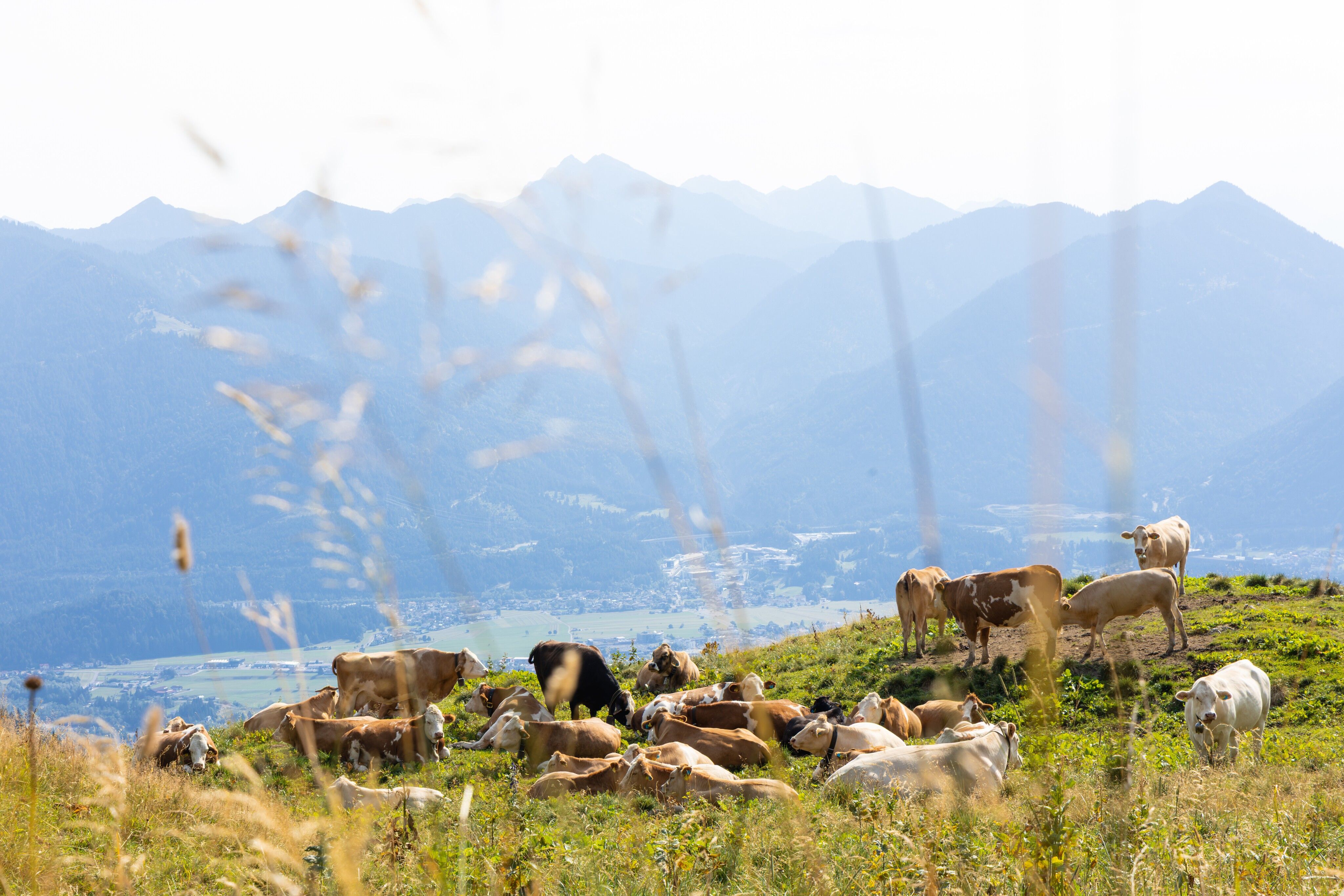
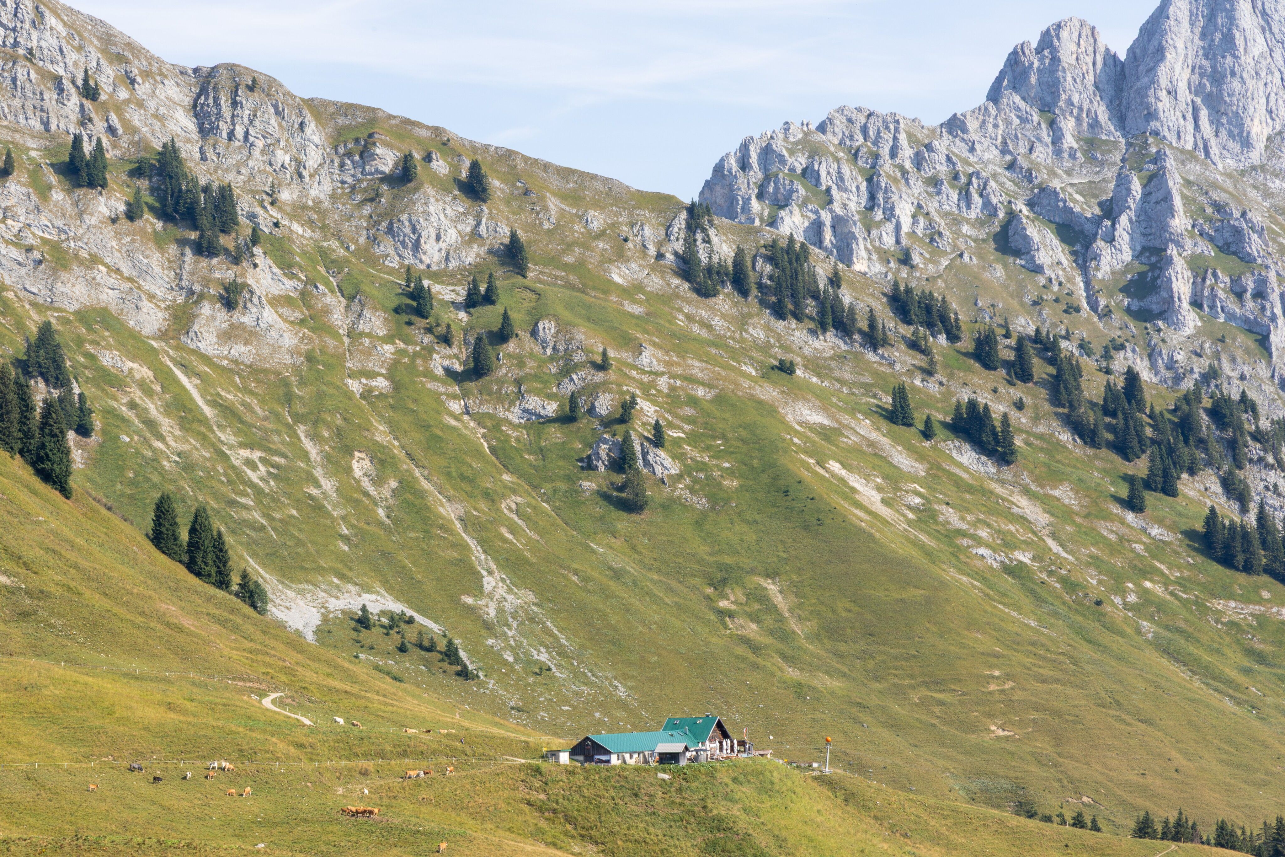

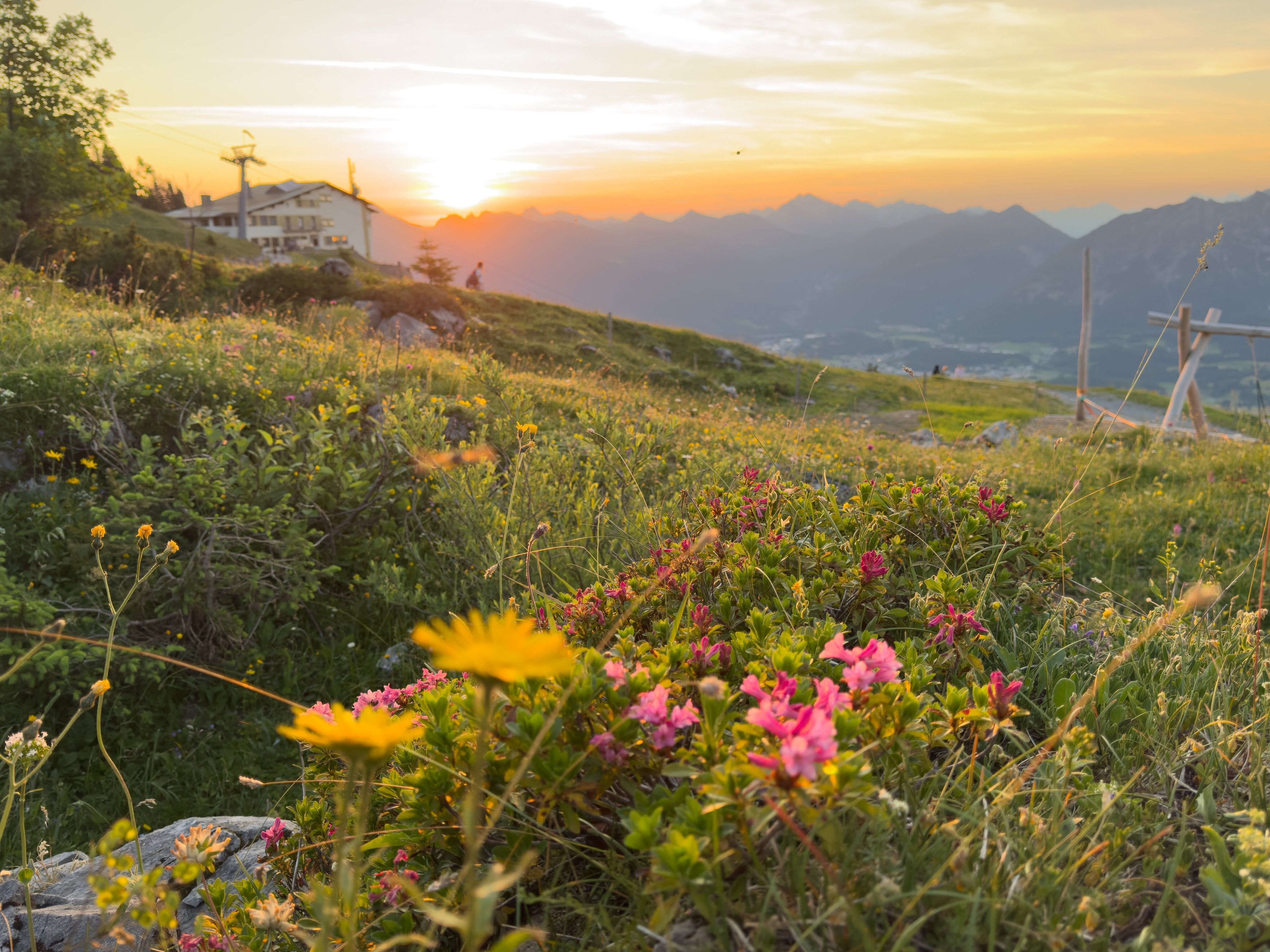
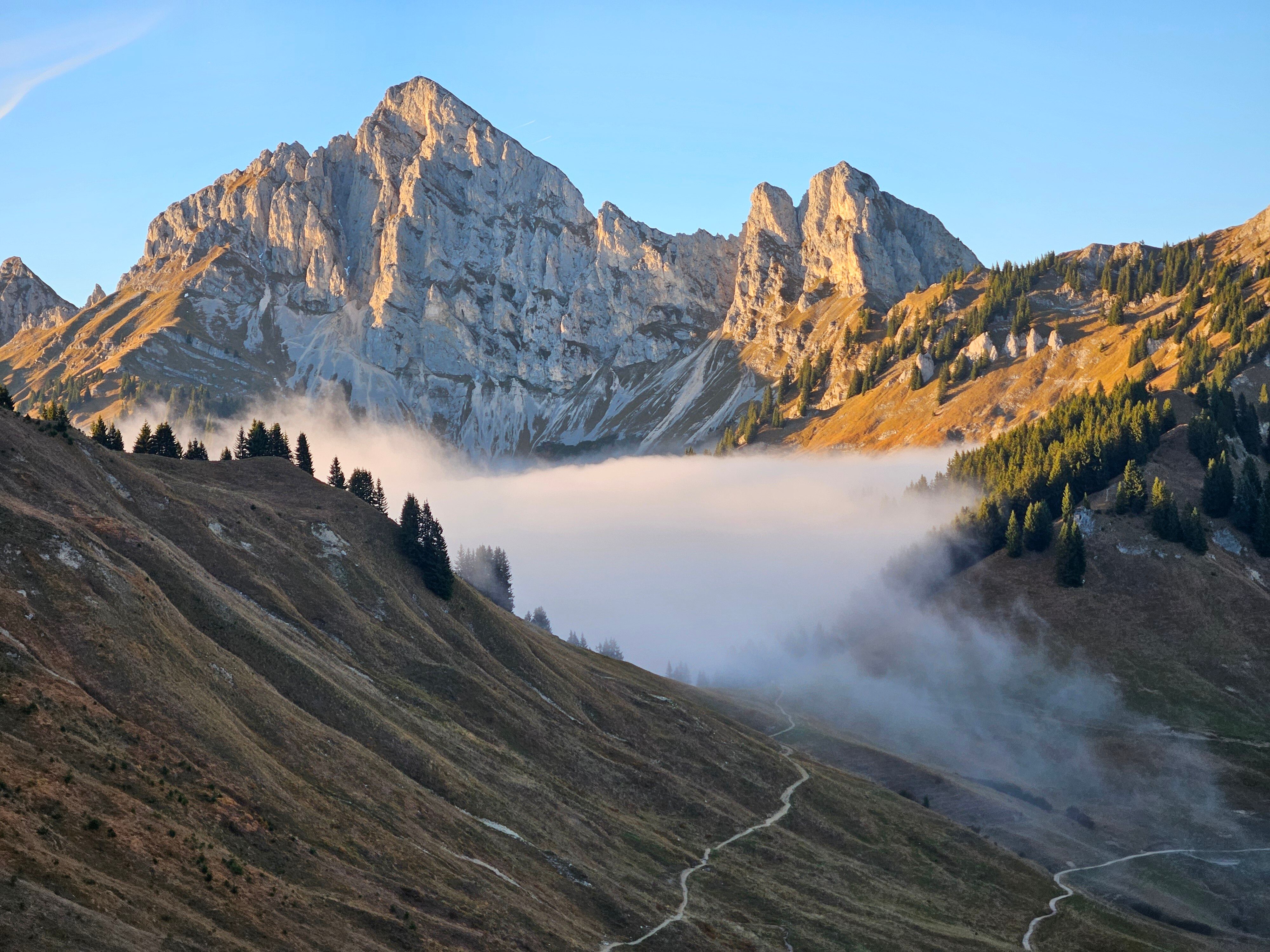
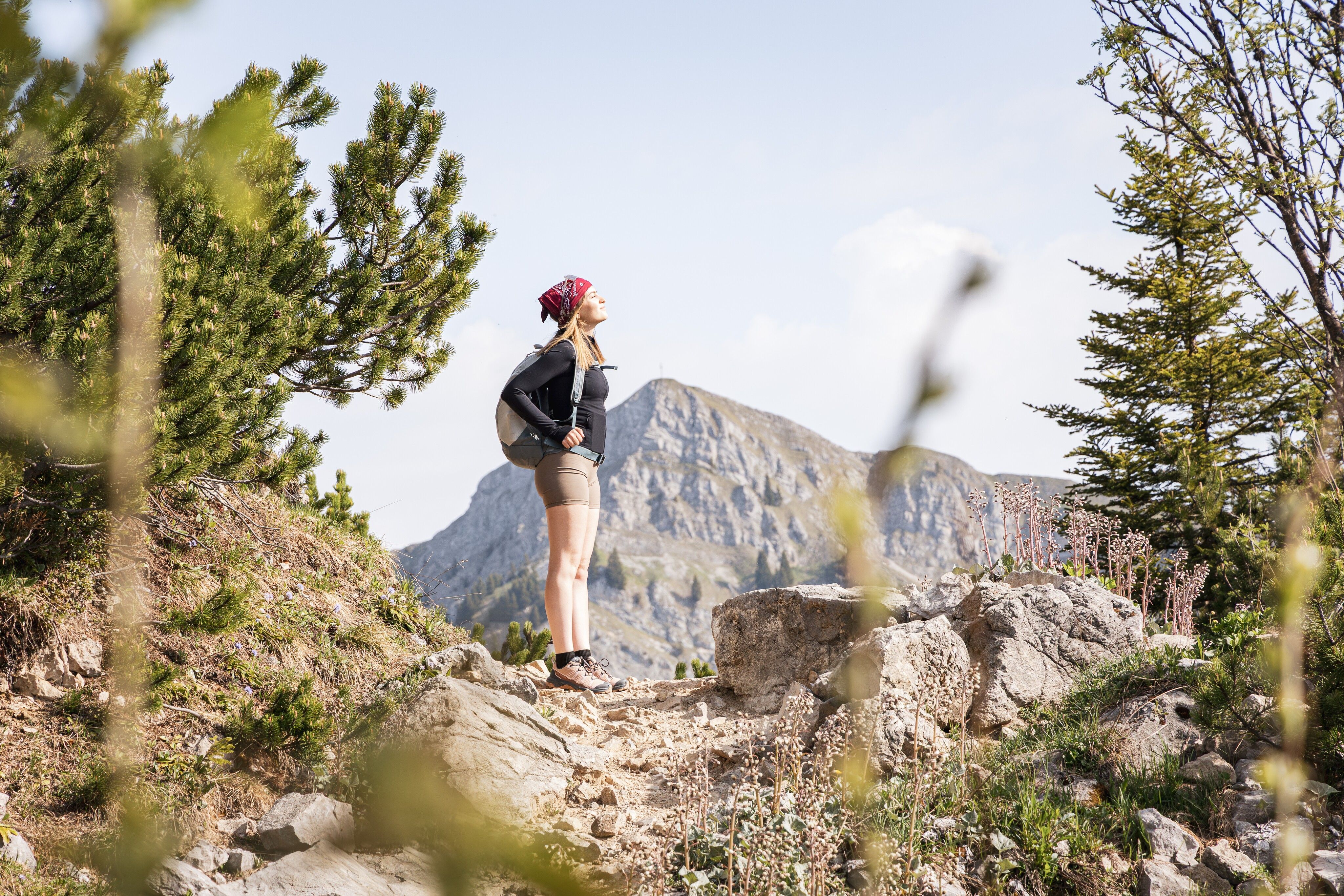
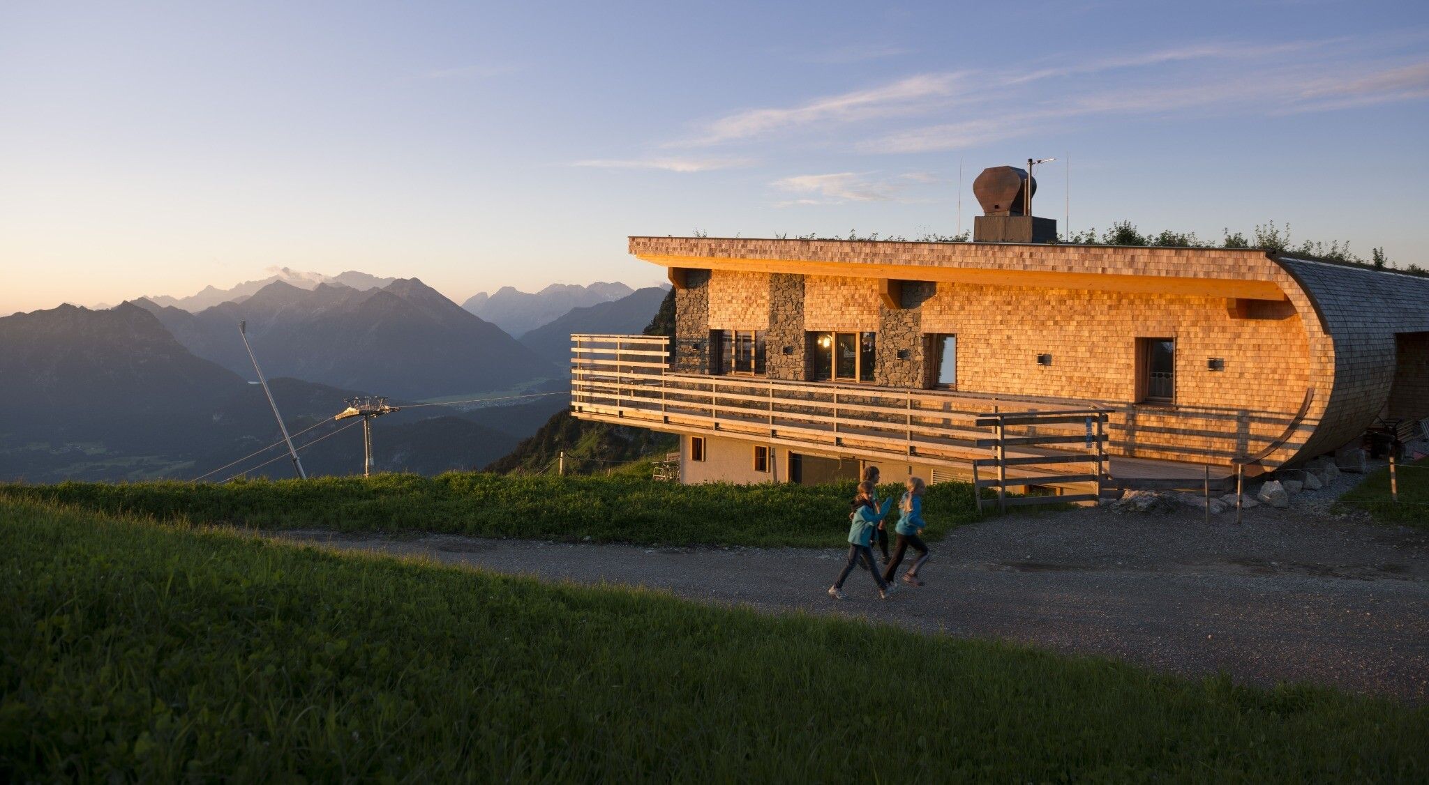

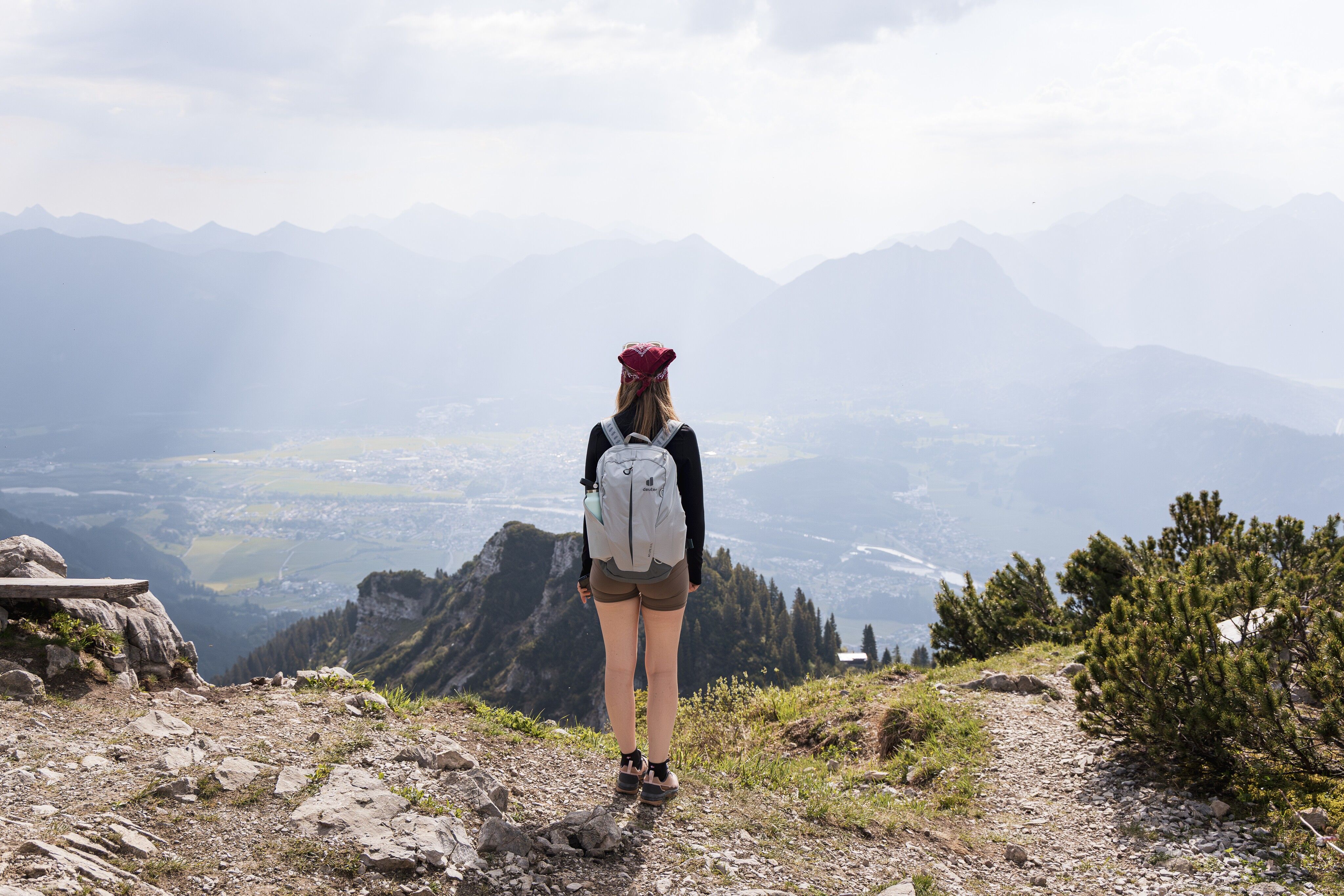
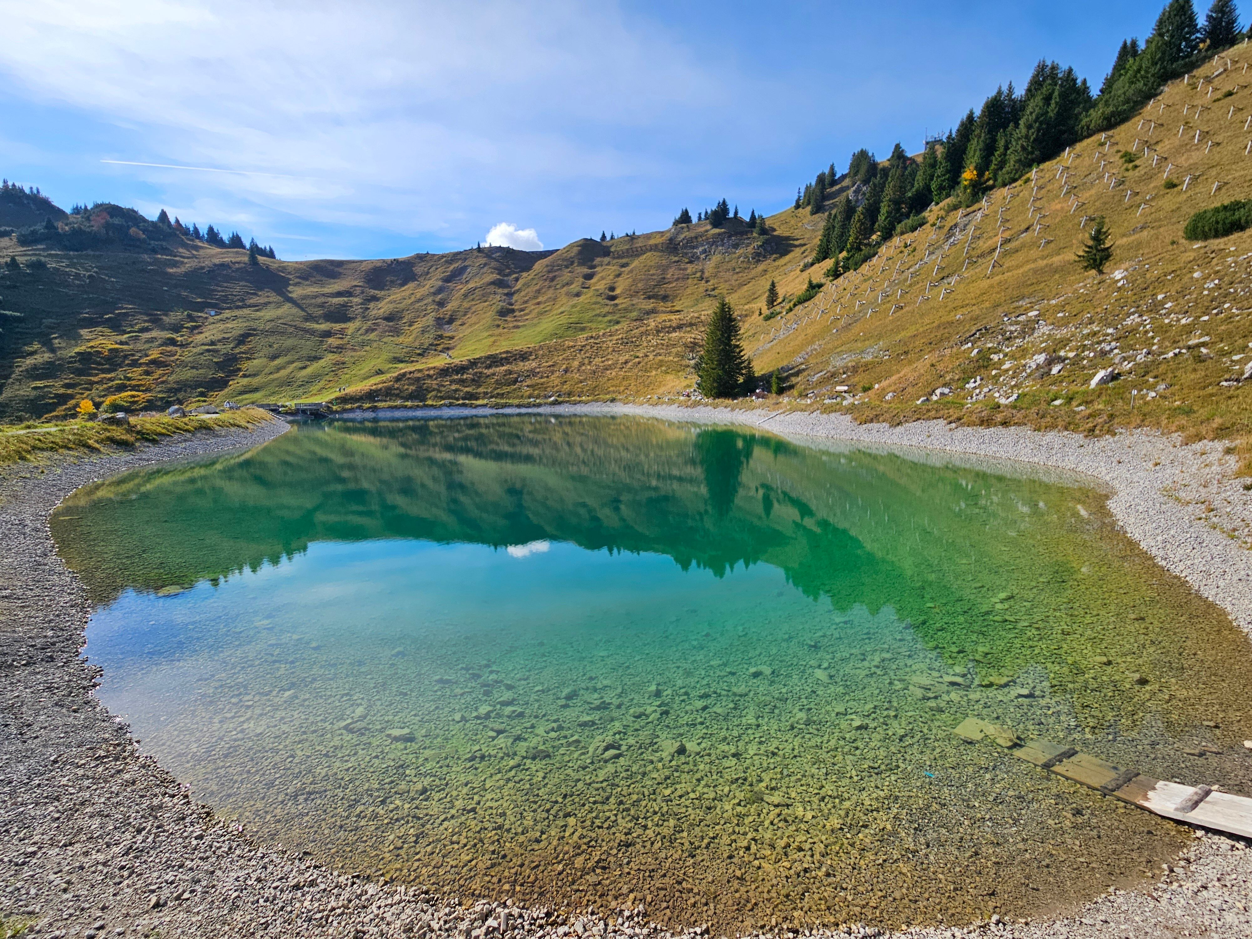
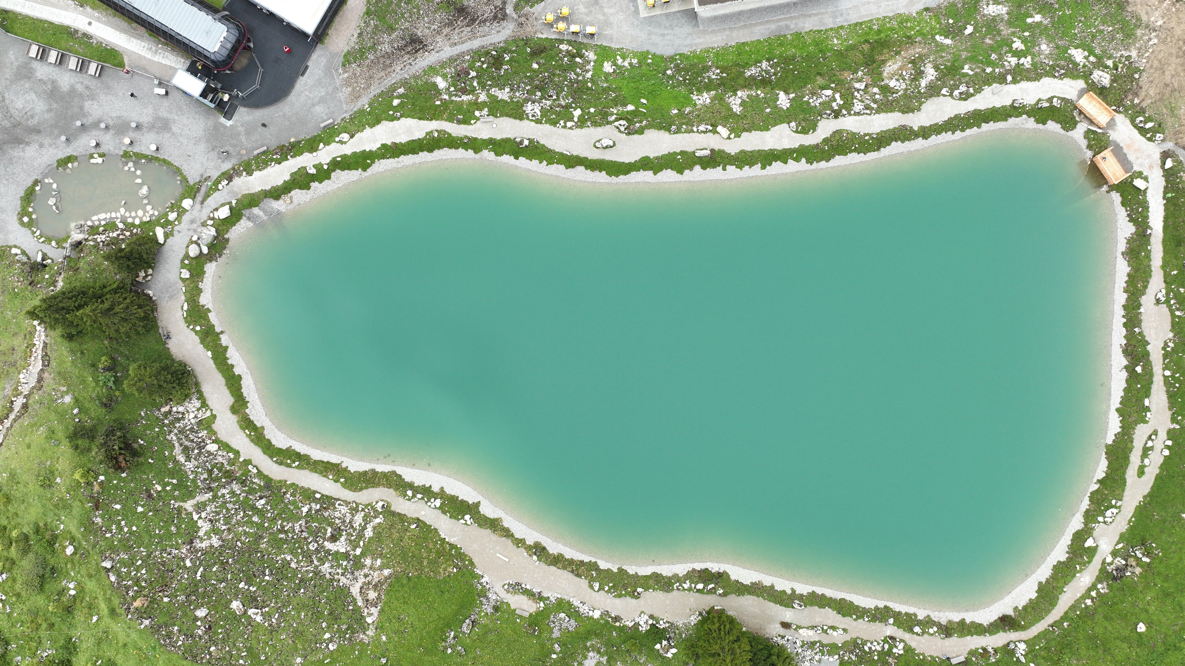
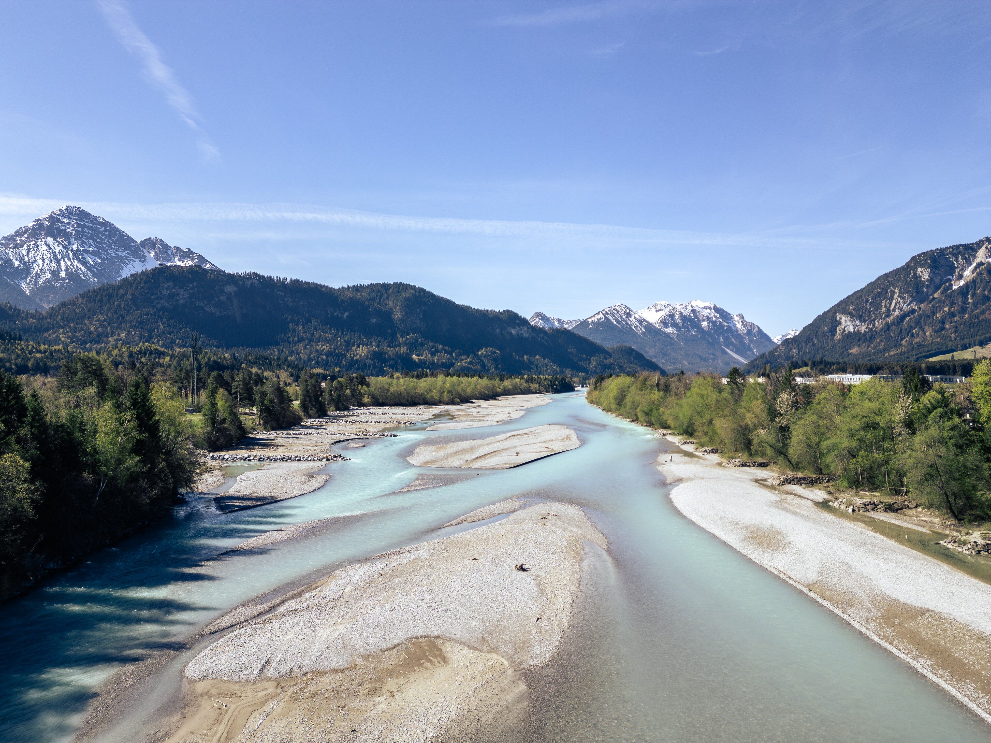
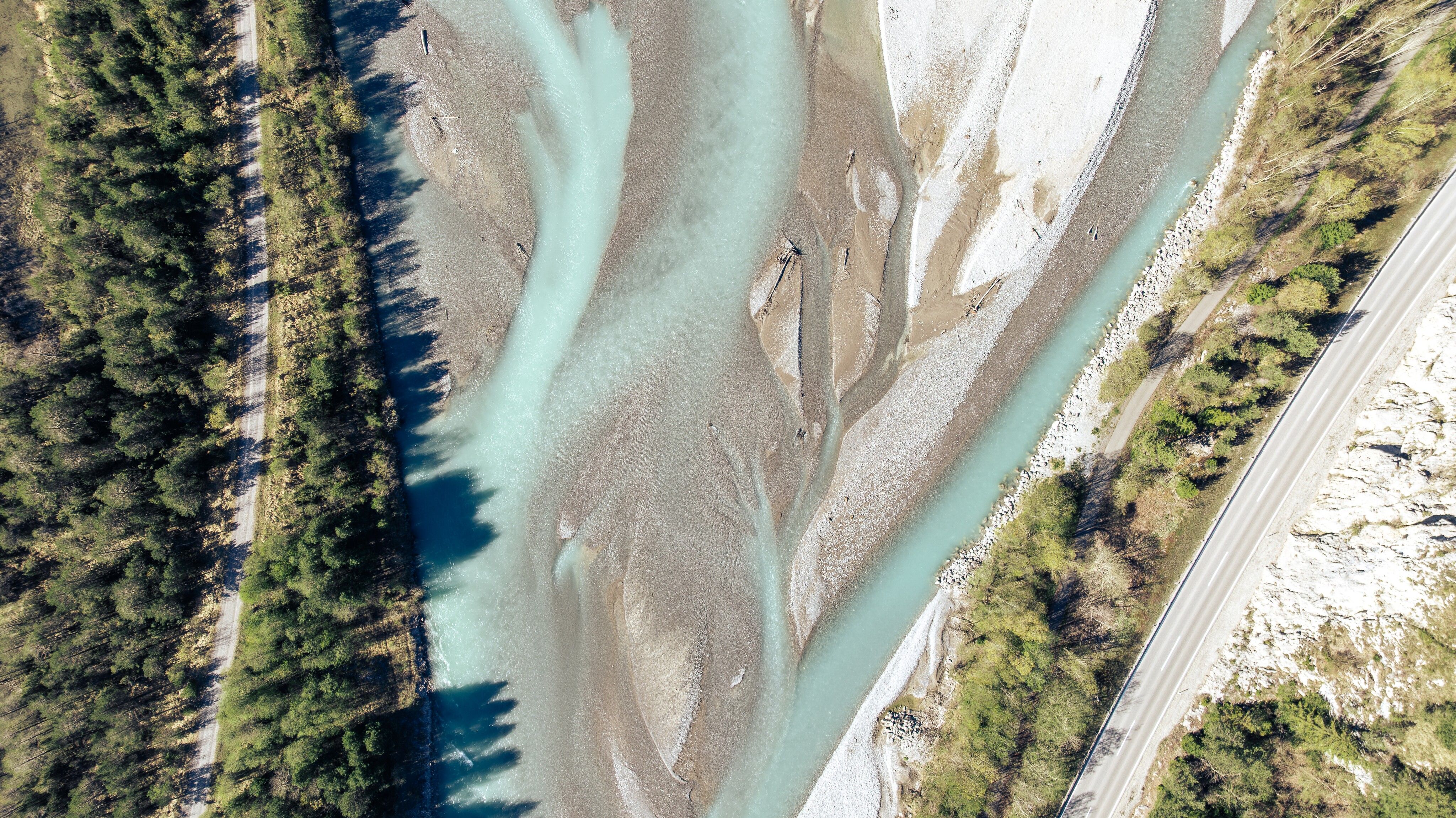
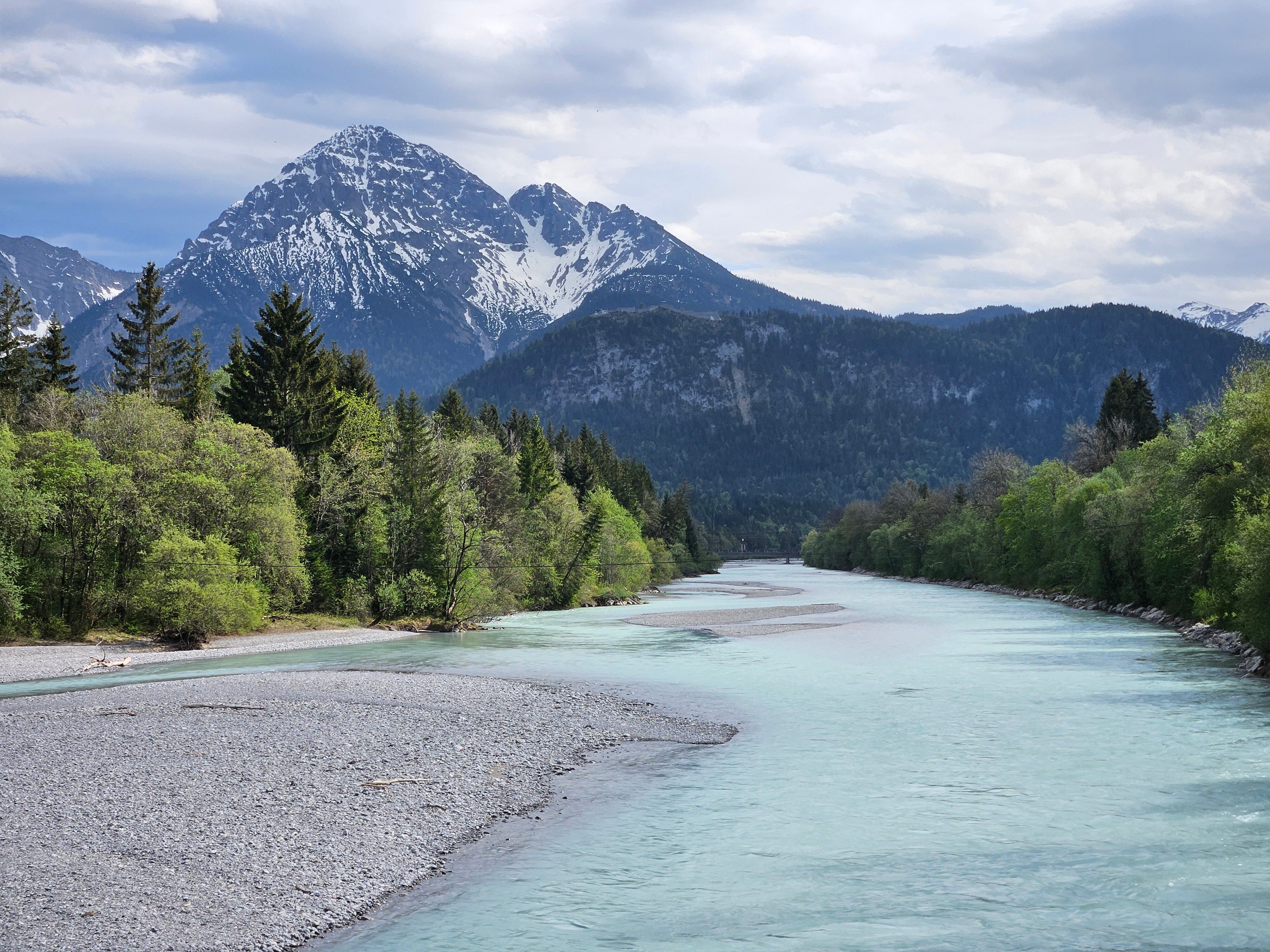
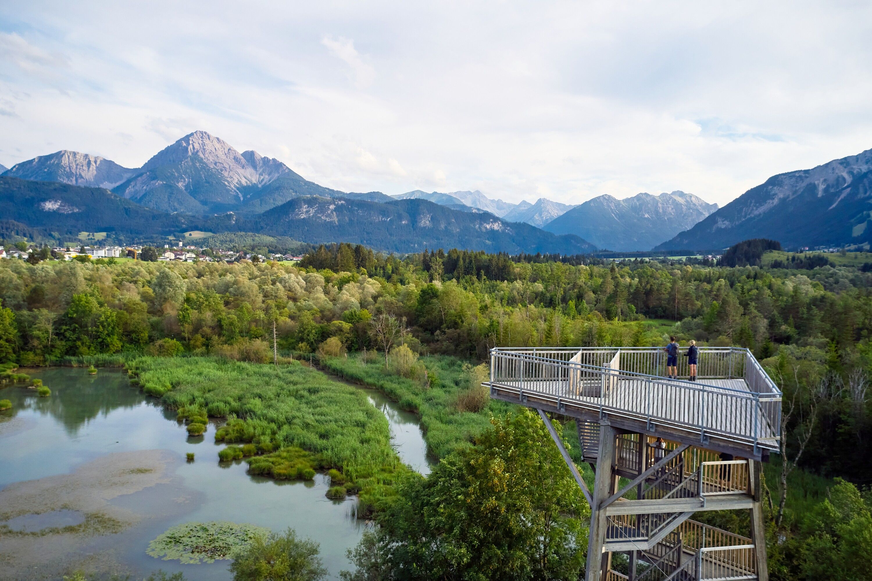
Discover the impressive mountain landscape of the Tannheim mountains on a varied four-day tour with three cozy hut overnight stays. The route leads from Vils through the Raintal valley to the hiking area of the Hahnenkamm mountain range and ends at the idyllic Lech River. Depending on personal preferences and the numerous huts along the way, the stages can be adjusted and shortened or extended.
Day 1: From Vils to Bad Kissinger Hütte
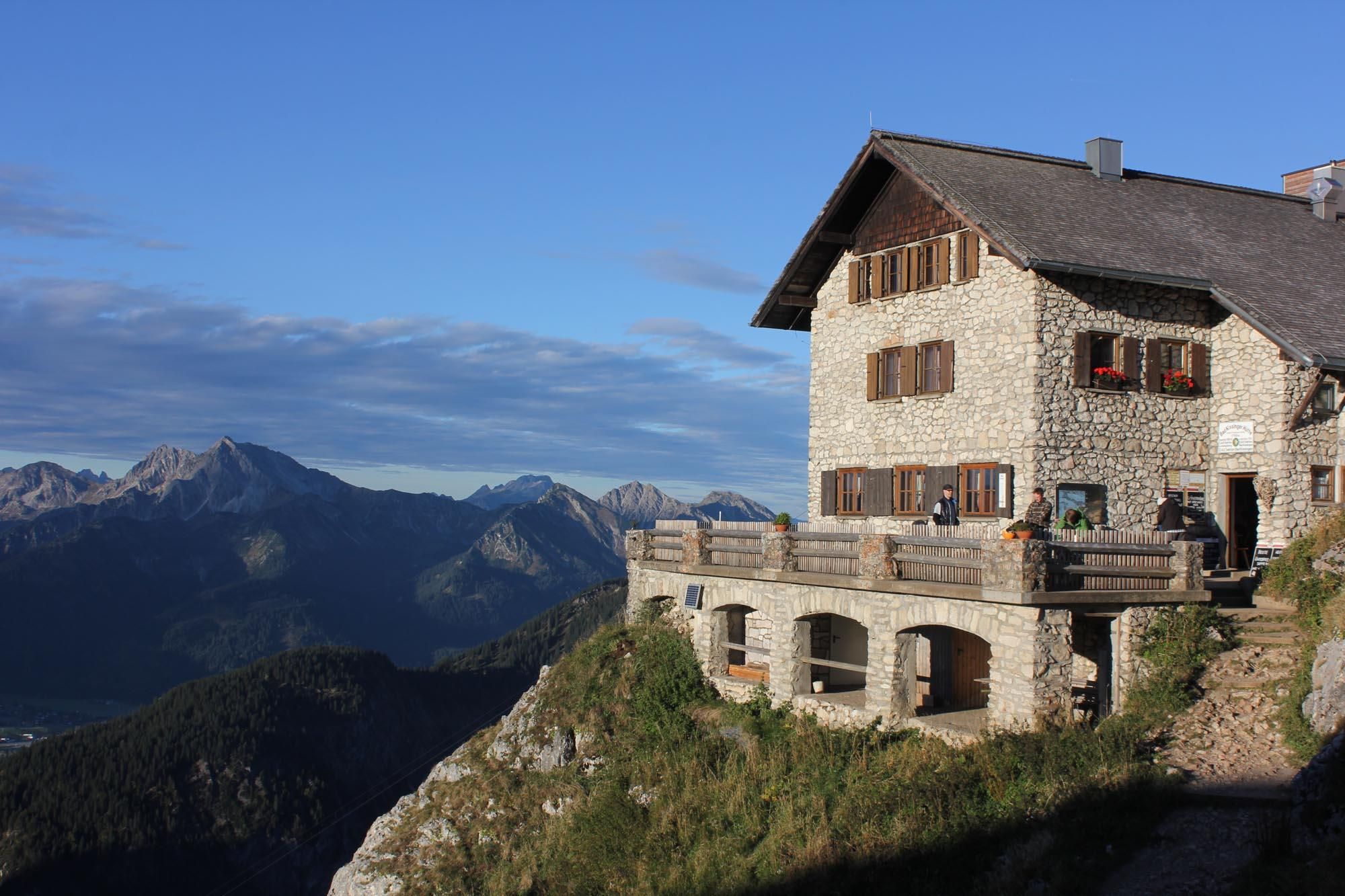
The hike starts directly at the train station in Vils. A well-developed forest path takes you to the Vilser Alm at 1.226 m in about one and a half hours – the perfect place for a first break and refreshment. The trail continues over the Vilser Jöchl to the Seebenalpe and finally to the Bad Kissinger Hütte, which serves as the day's destination. For those seeking more of a challenge, you can ascend the Aggenstein peak from here (difficult mountain trail).
Day 2: Bad Kissinger Hütte to Musauer Alm
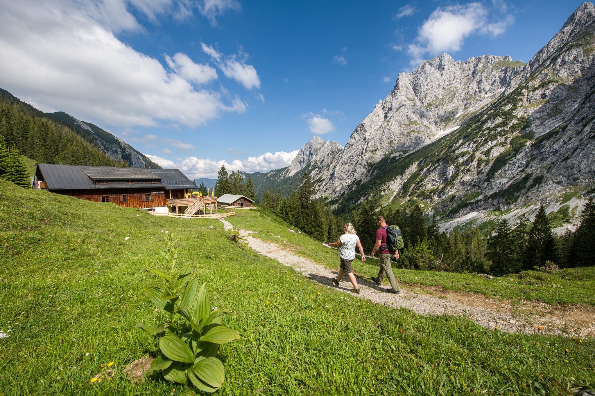
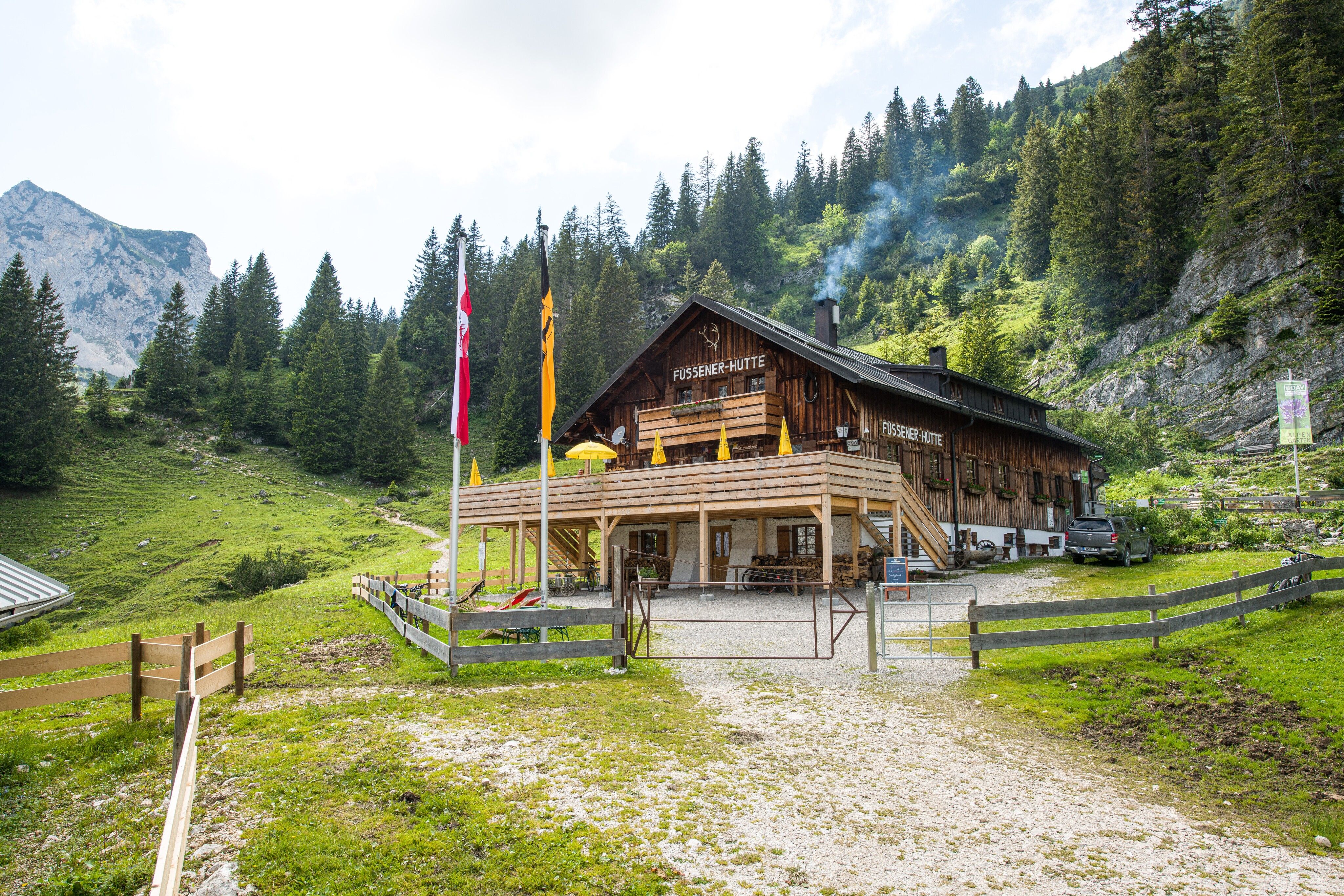
The second stage takes you first back to the Seebenalpe and then up to the Füssener Jöchl. Passing the Füssener Hütte and the Otto-Mayr Hütte – both are great places for a well-deserved break – you finally reach the Musauer Alm, where you will spend another cozy night. An exciting option for ambitious hikers is the detour to the Große Schlicke peak before descending to the Musauer Alm.
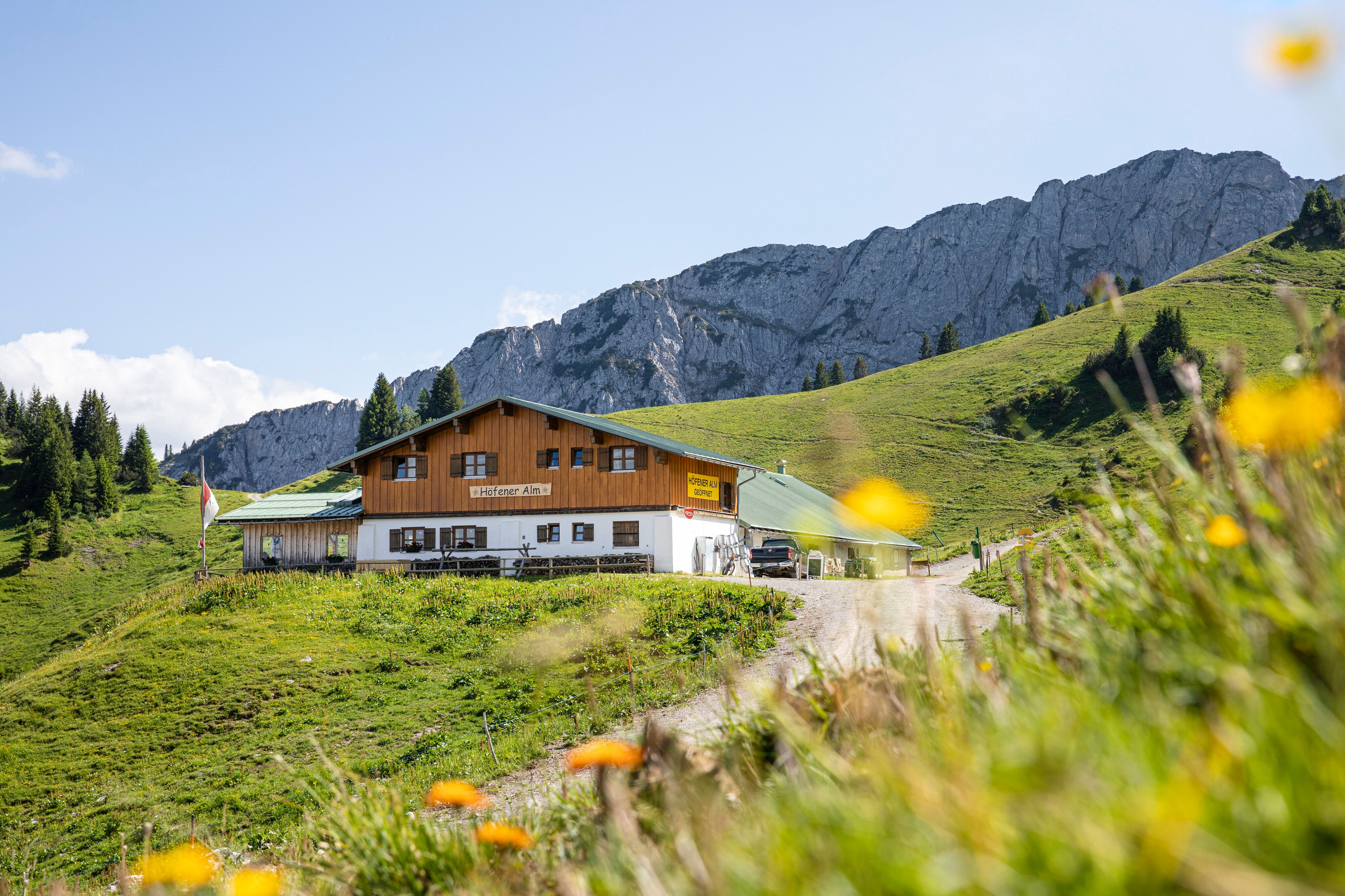
Day 3: Musauer Alm to Höfener Alm
On the third day, you hike from the Musauer Alm over the Gehrenjoch to the Gehrenalpe. The route continues to the Lechaschauer Alm and finally along the barrier-free Alpenrosenweg of the Hahnenkamm mountain range to the Höfener Alm, the destination of this stage.
Day 4: Höfener Alm to Reutte Train Station
From the Höfener Alm, it is only a few steps to the Hahnenkamm cable car mountain station. You have the choice: either comfortably take the gondola down to the valley or descend on foot via the trail or forest path. Afterward, the hike takes you from Höfen along the Lech River, through the picturesque floodplain forest area, and past the bird tower in Pflach to the train station in Reutte. Reaching this final destination completes your four-day hiking adventure in the Tannheim mountains.
Tip: Adjust the stages according to your pace and take advantage of the numerous overnight and refreshment options along the way to fully enjoy the Tannheimer mountain landscape.
All overnight options along the route:
Of course, the tour can also be done in the opposite direction.
Vils: Take bus line 100 or 101 to the "Vils (Tirol) Schlössle" stop or the train to the Vils train station.
Reutte: Take bus line 1, 2, 3, 9, 100, 110, 120, 150, 160X or 319 to the "Reutte Bahnhof" stop or the train to the Reutte train station.
Timetables and bus stops can be found at www.vvt.at.
The Reutte Nature Park Region can be reached by car as well as by public transport: Arrival & Mobility
Parking in Vils: Vilser Alm car park
Parking in Reutte: Waldrastlift car park


