Hut hike Circular Route Around the Valley Basin | 3-Day Hiking Tour

Reutte / Ammergau Alps
Difficulty ratings: medium
Route length: 32.0 km
Duration: 15:00 h

Three days of hiking adventure around the Reutte valley basin, with overnight stays in mountain huts

Tour information

  • Requirement: medium
  • Length: 32.0 km
  • Duration: 15:00 h
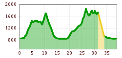
  • Elevation uphill:2,459 hm
  • Elevation downhill:1,496 hm
Highest point1,860 m

Starting point

Reutte Train Station

Finishing point

Höfen / Reutte Train Station
  • Fitness level 4 / 6
  • Technique 4 / 6

Features

  • Circular route
  • Multi-day hike

Best time of year

  • January
  • February
  • March
  • April
  • May
  • June
  • July
  • August
  • September
  • October
  • November
  • December

Trail condition

Hiking trails, hiking paths, mountain trails, forest trails

Equipment

Hiking equipment, hiking poles, sturdy shoes, warm clothing (especially socks and hat), rain jacket, spare clothing, hut sleeping bag, slippers, torch or headlamp, bin bag, earplugs, towel, cash, possibly Alpine Club ID, pocket knife, sun protection, cell phone, battery/power bank, sufficient drinks and snacks, blister plasters.
Source: TVB Naturparkregion Reutte

Description

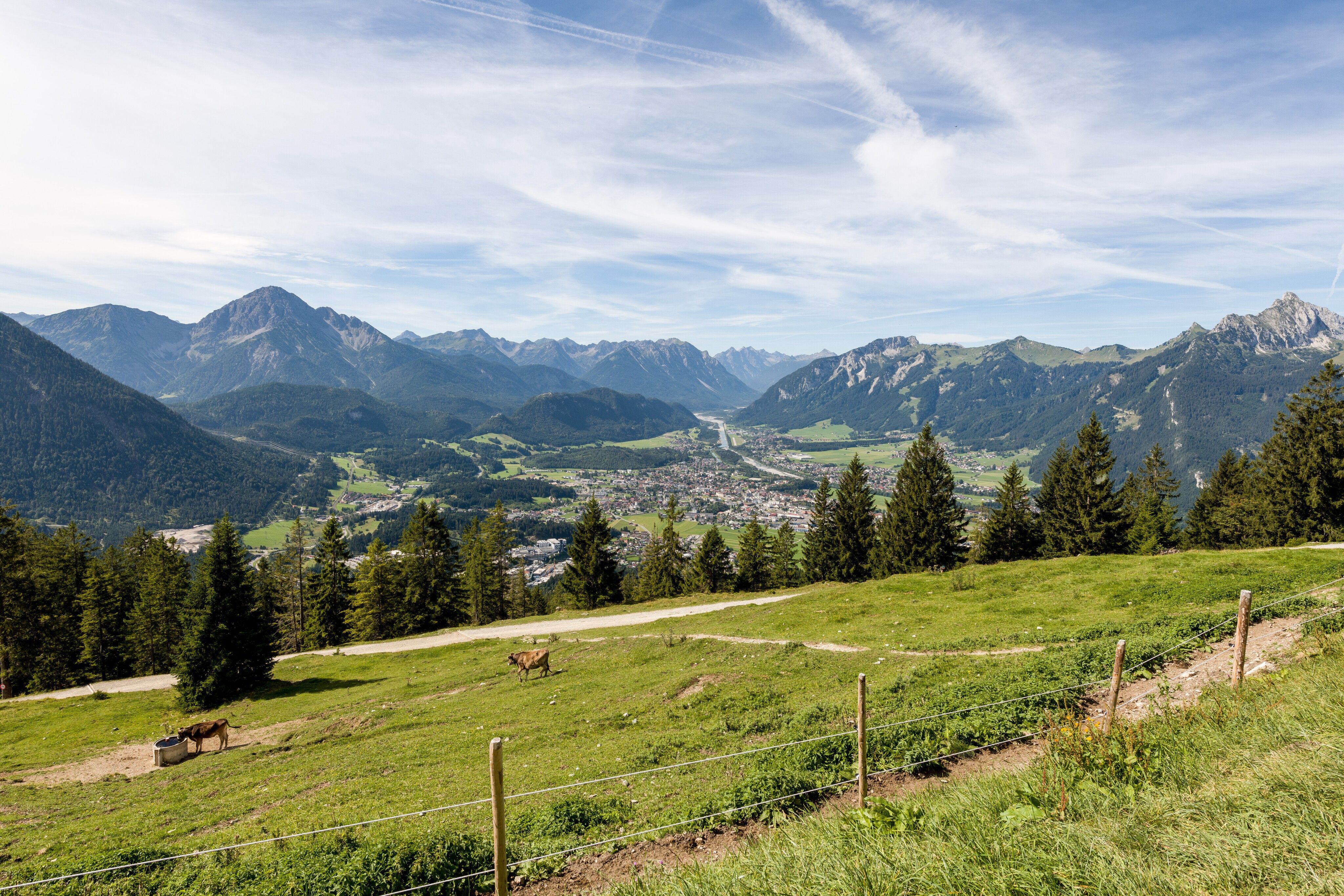
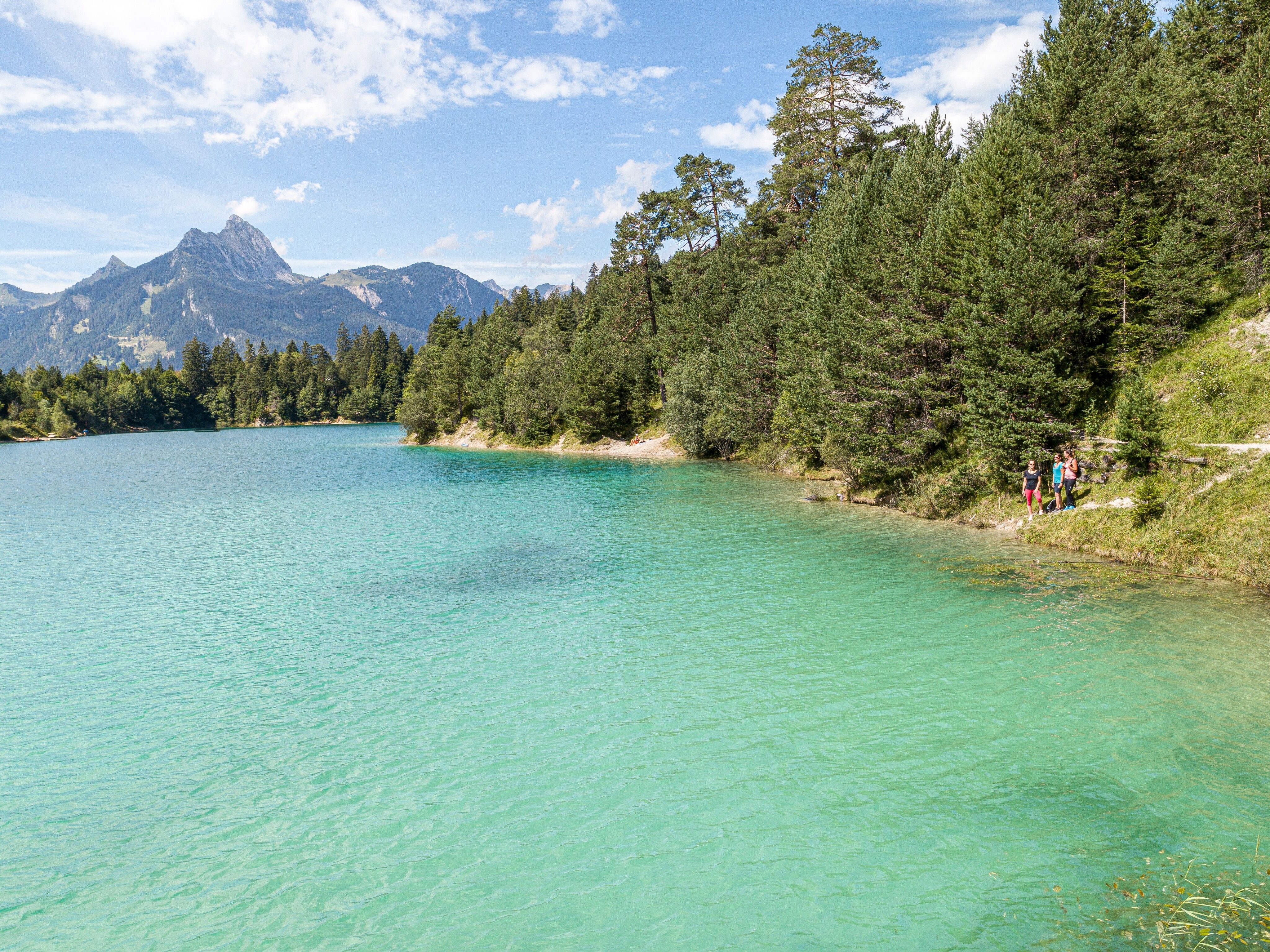
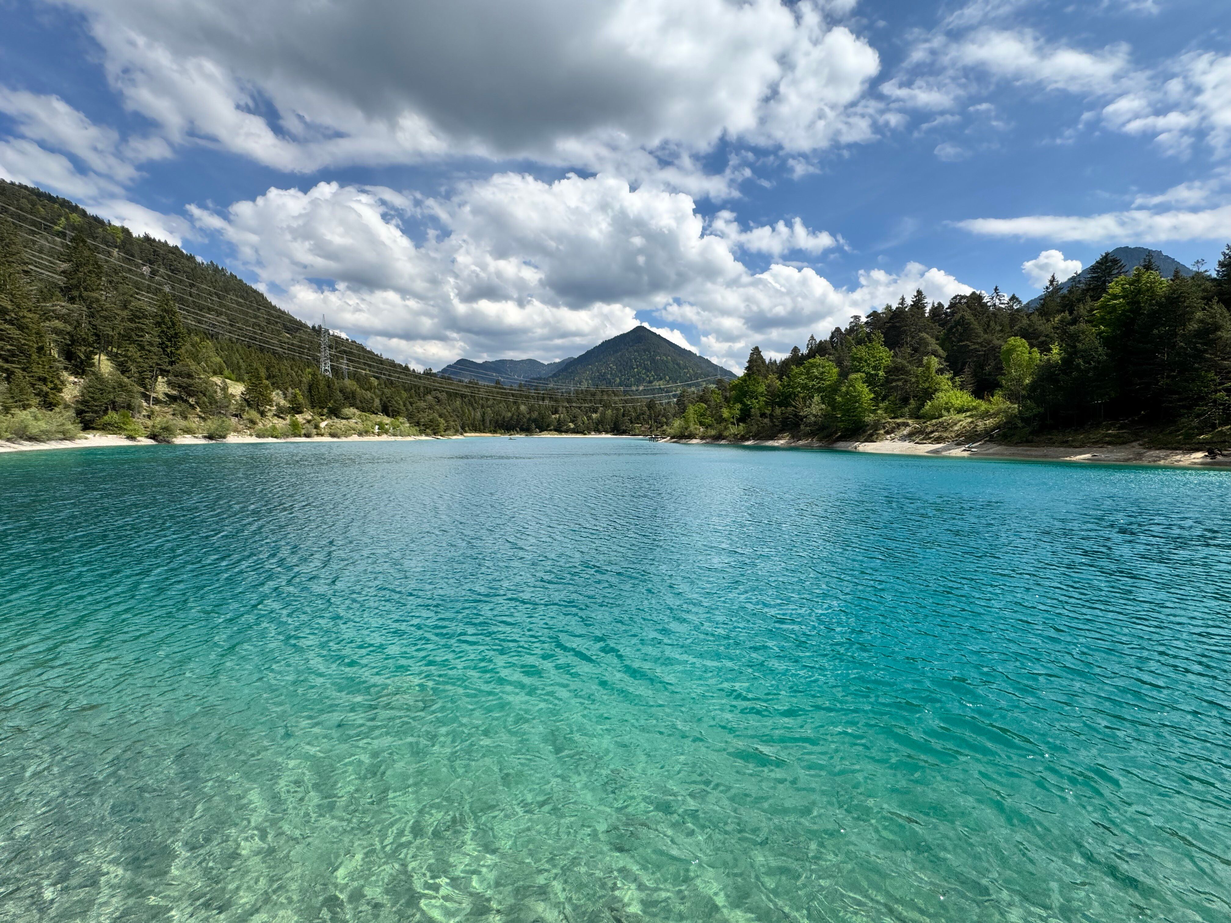
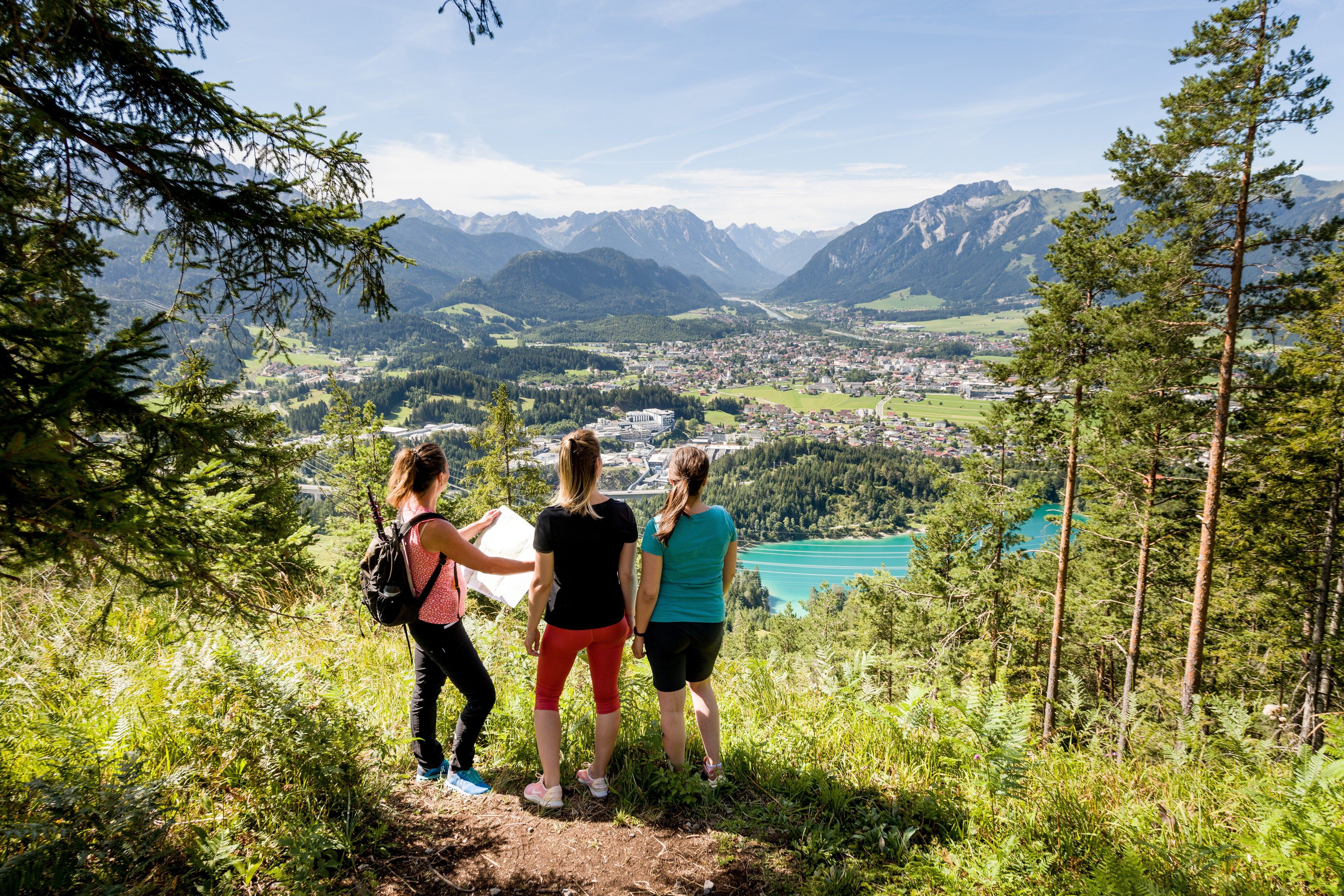
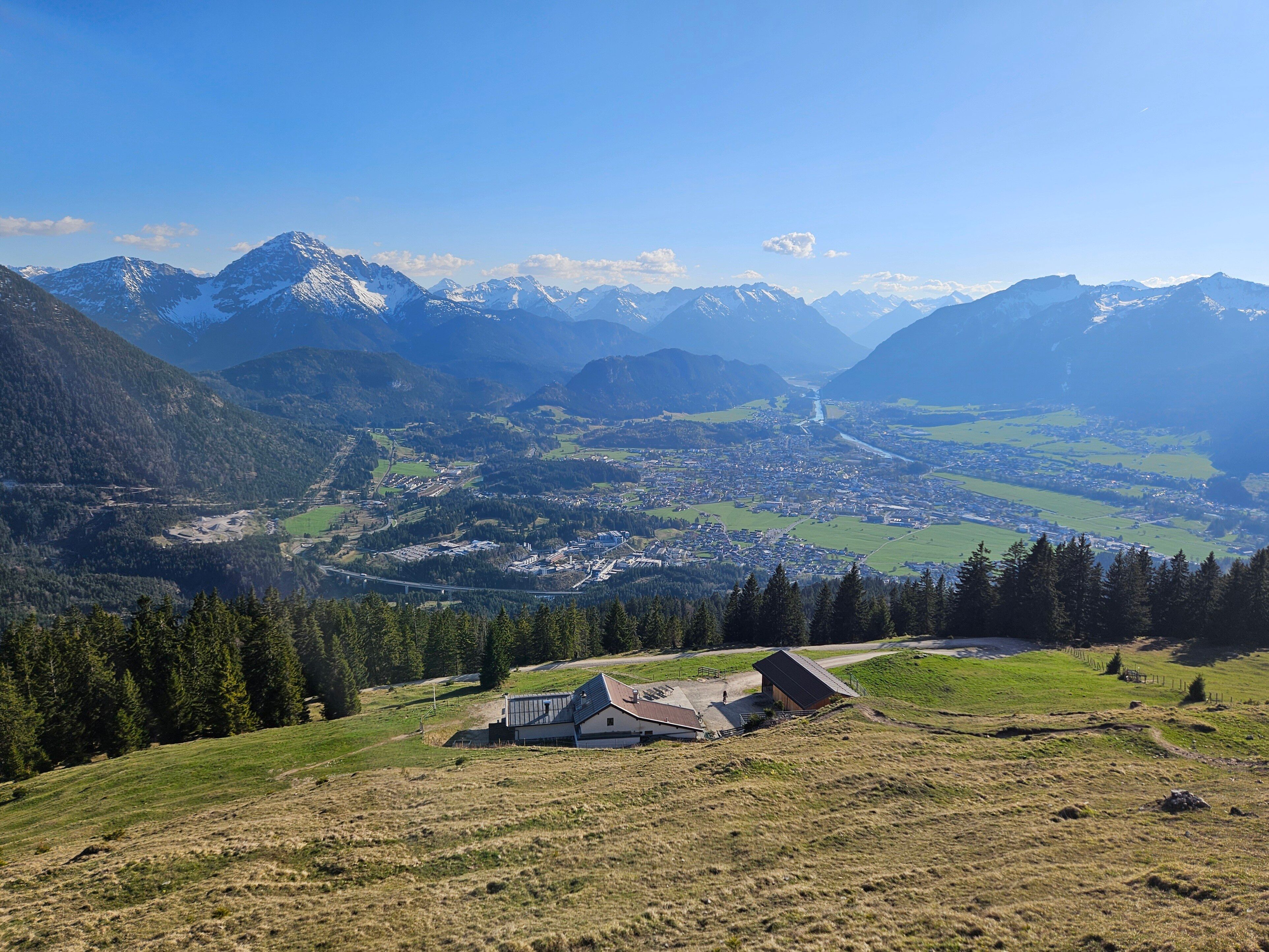
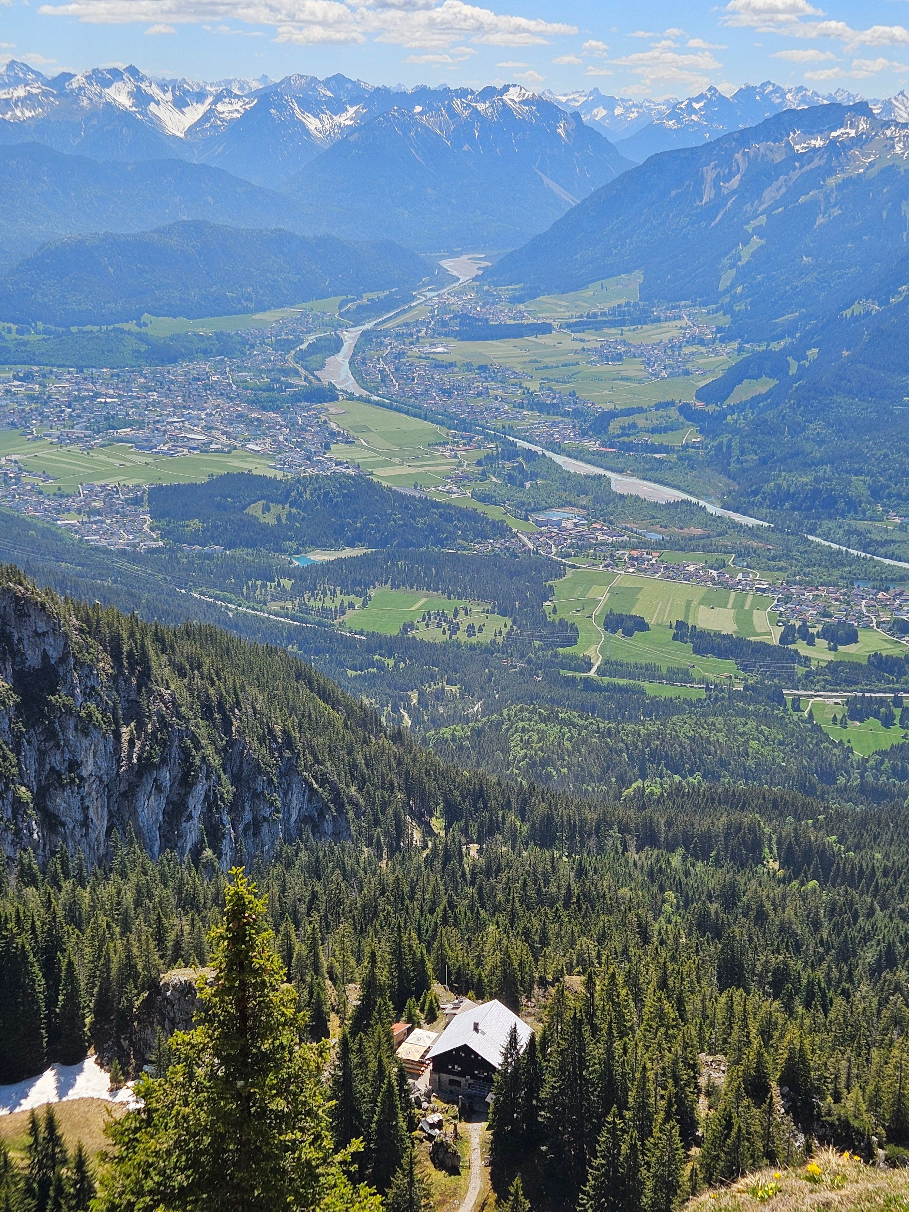
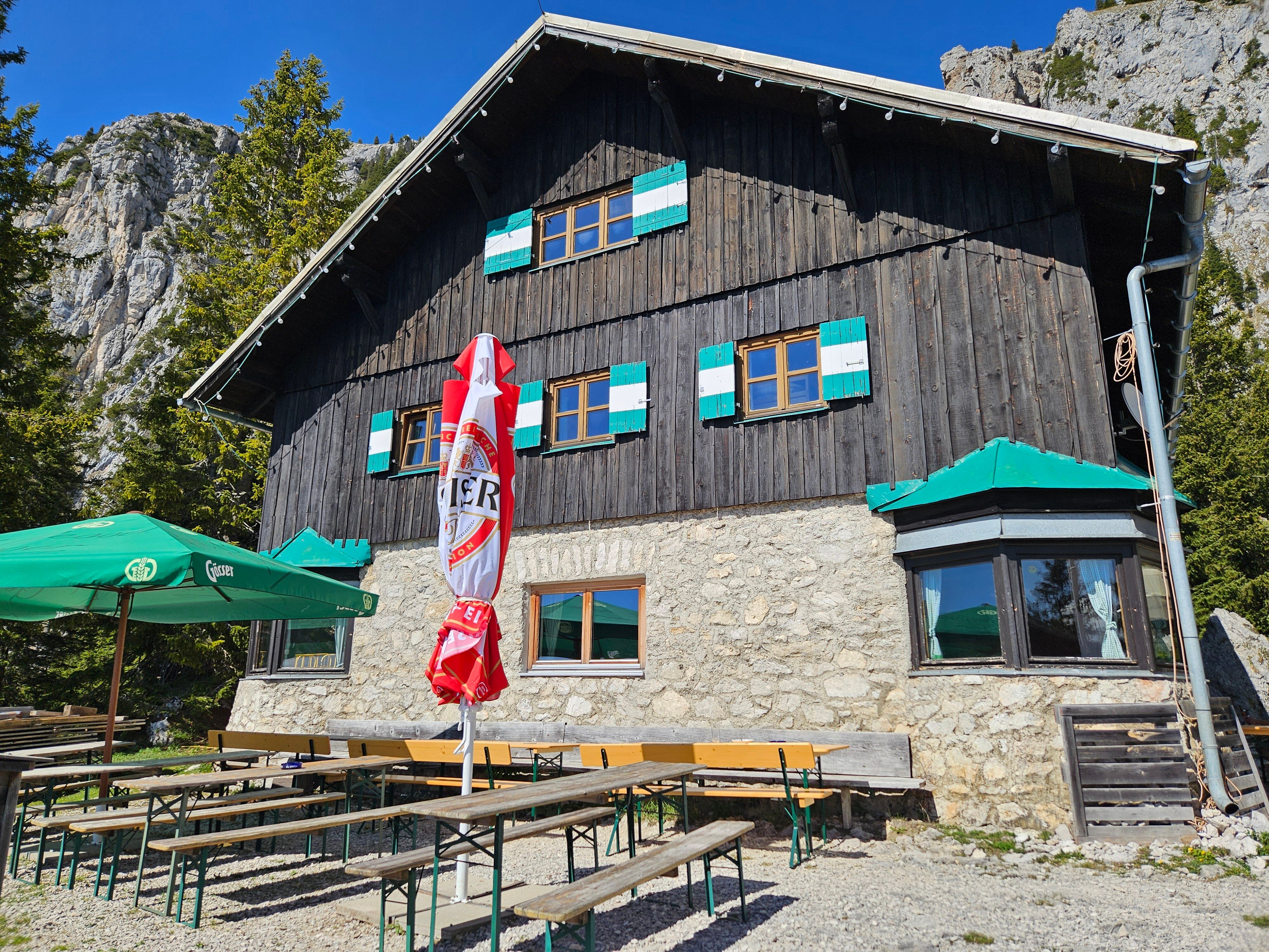
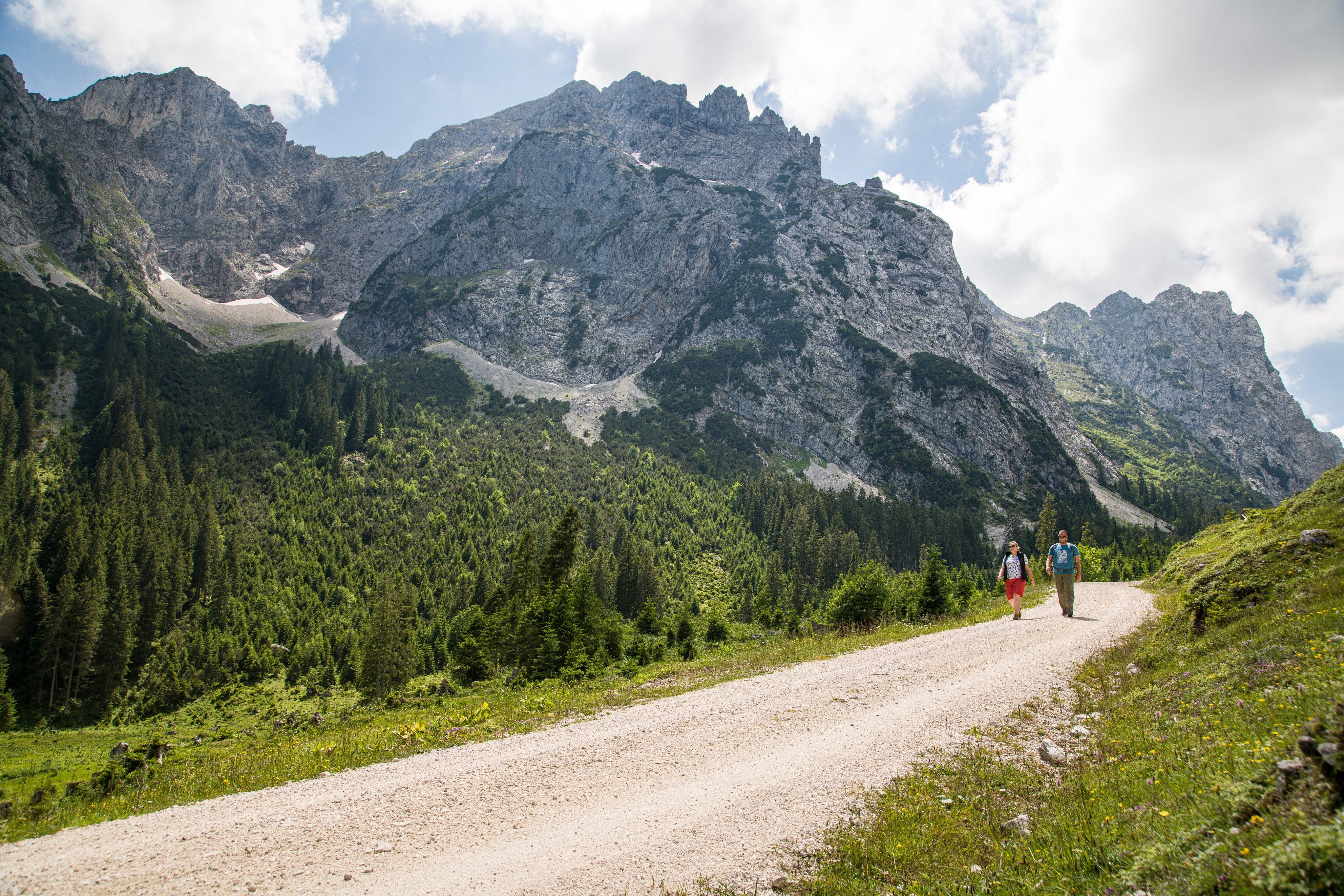
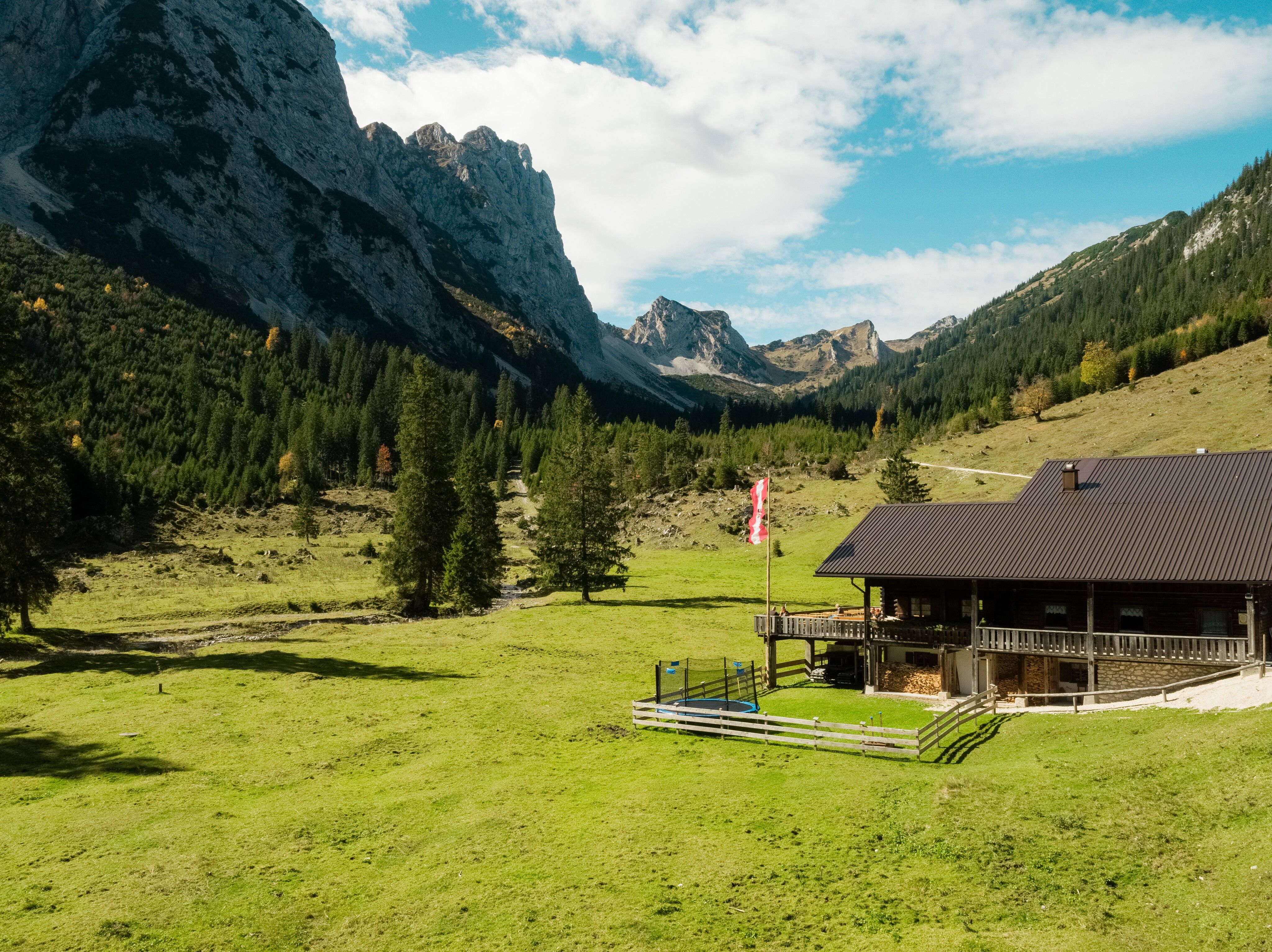
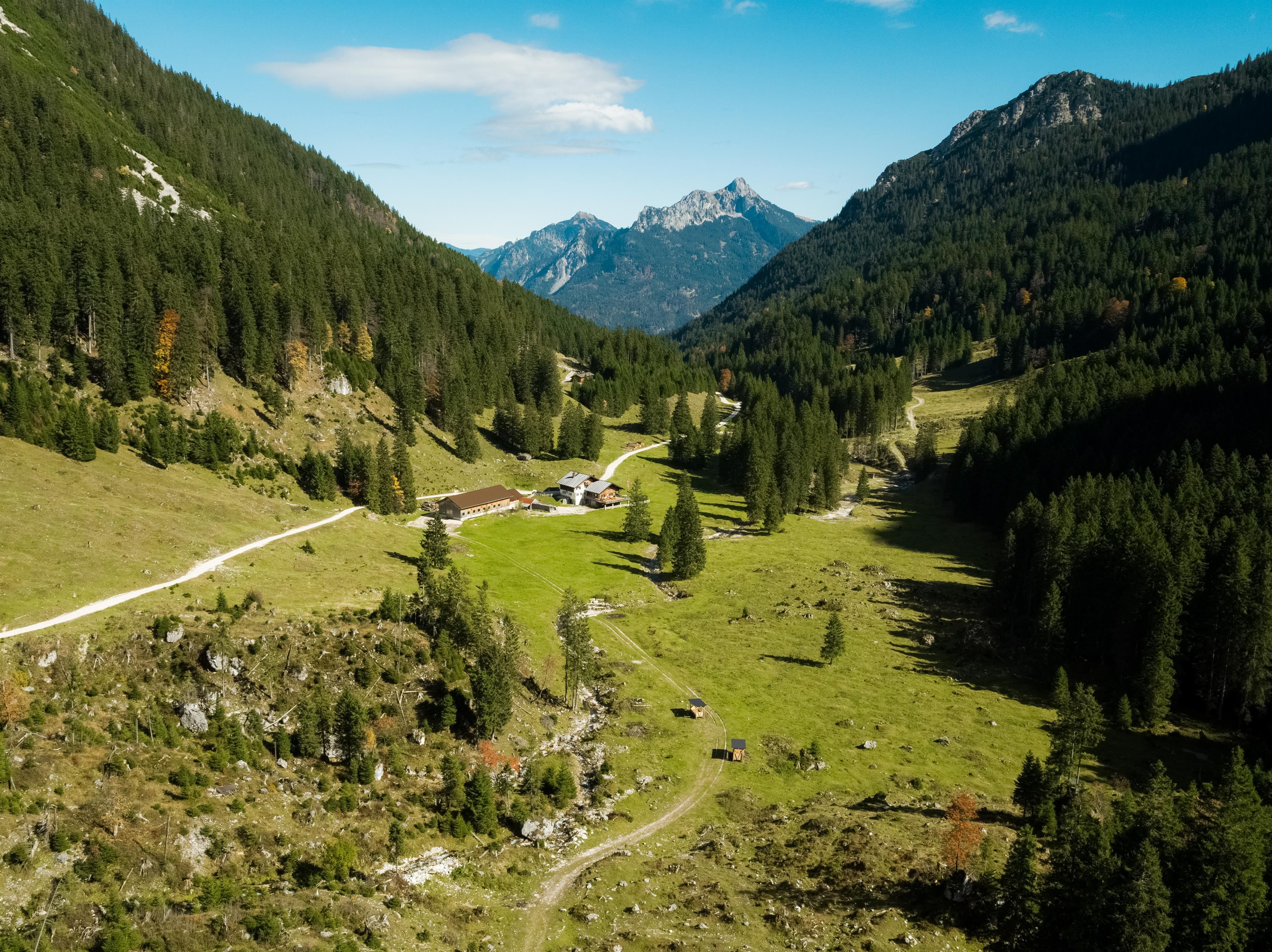
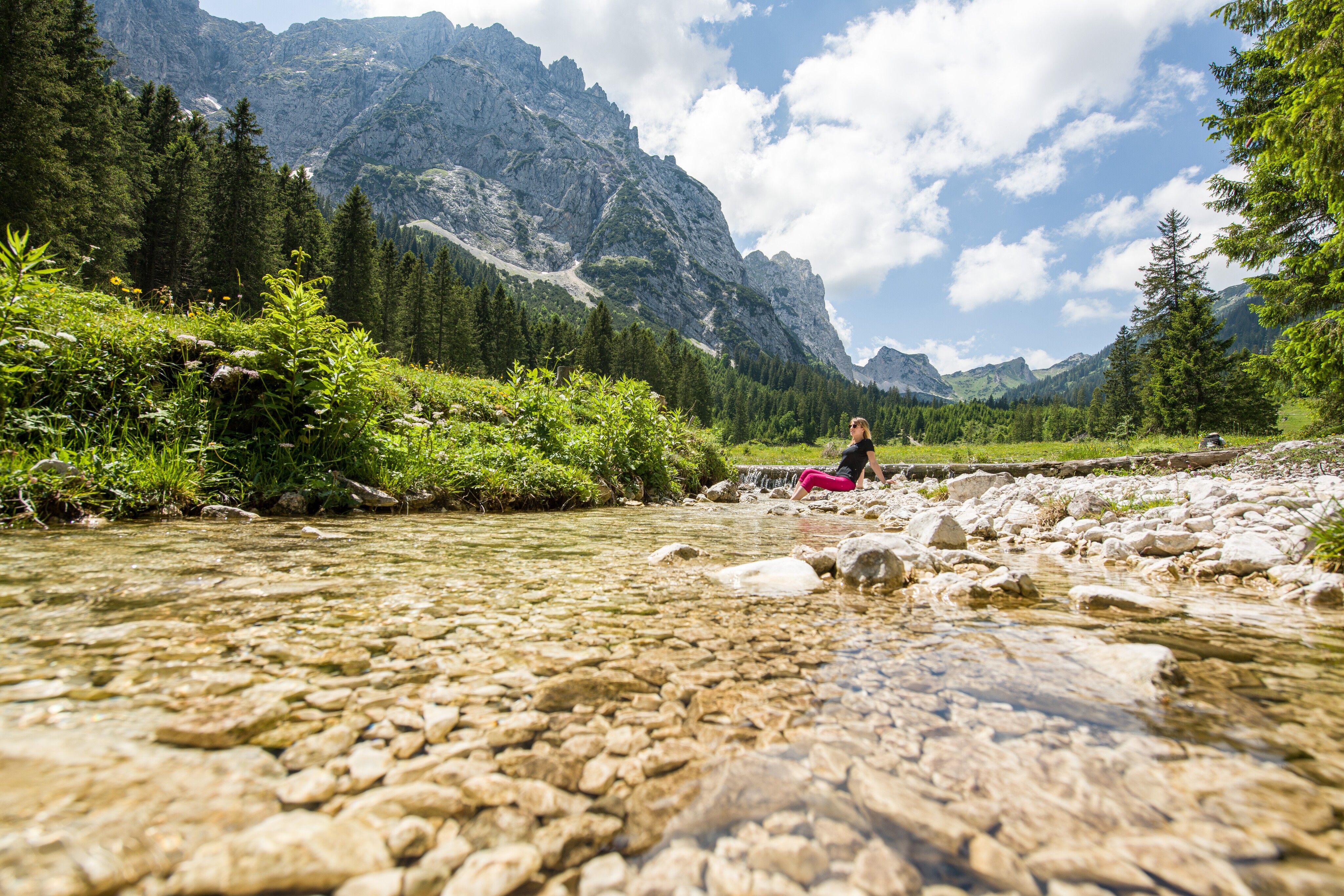
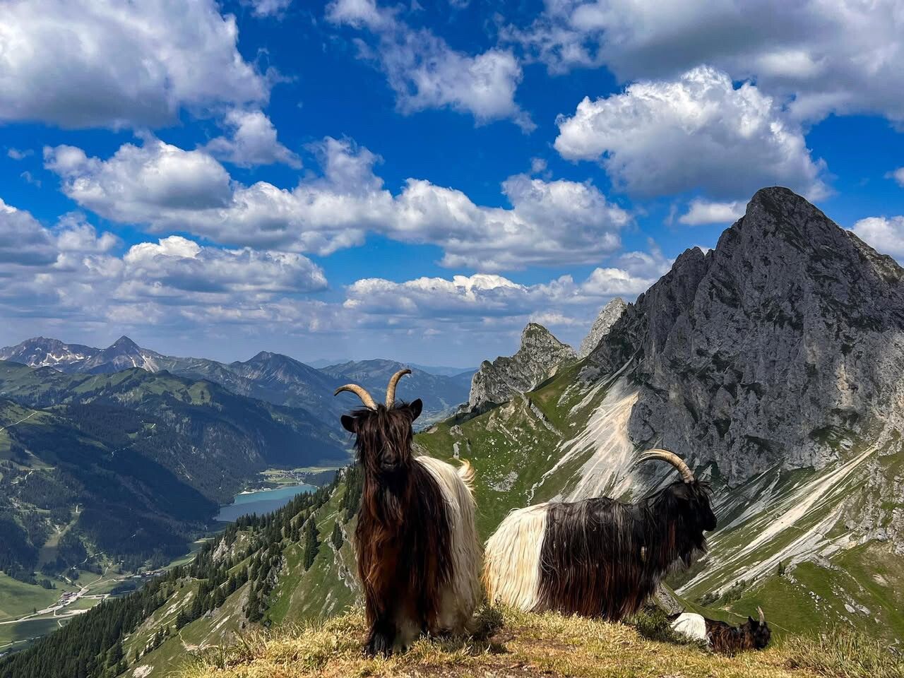
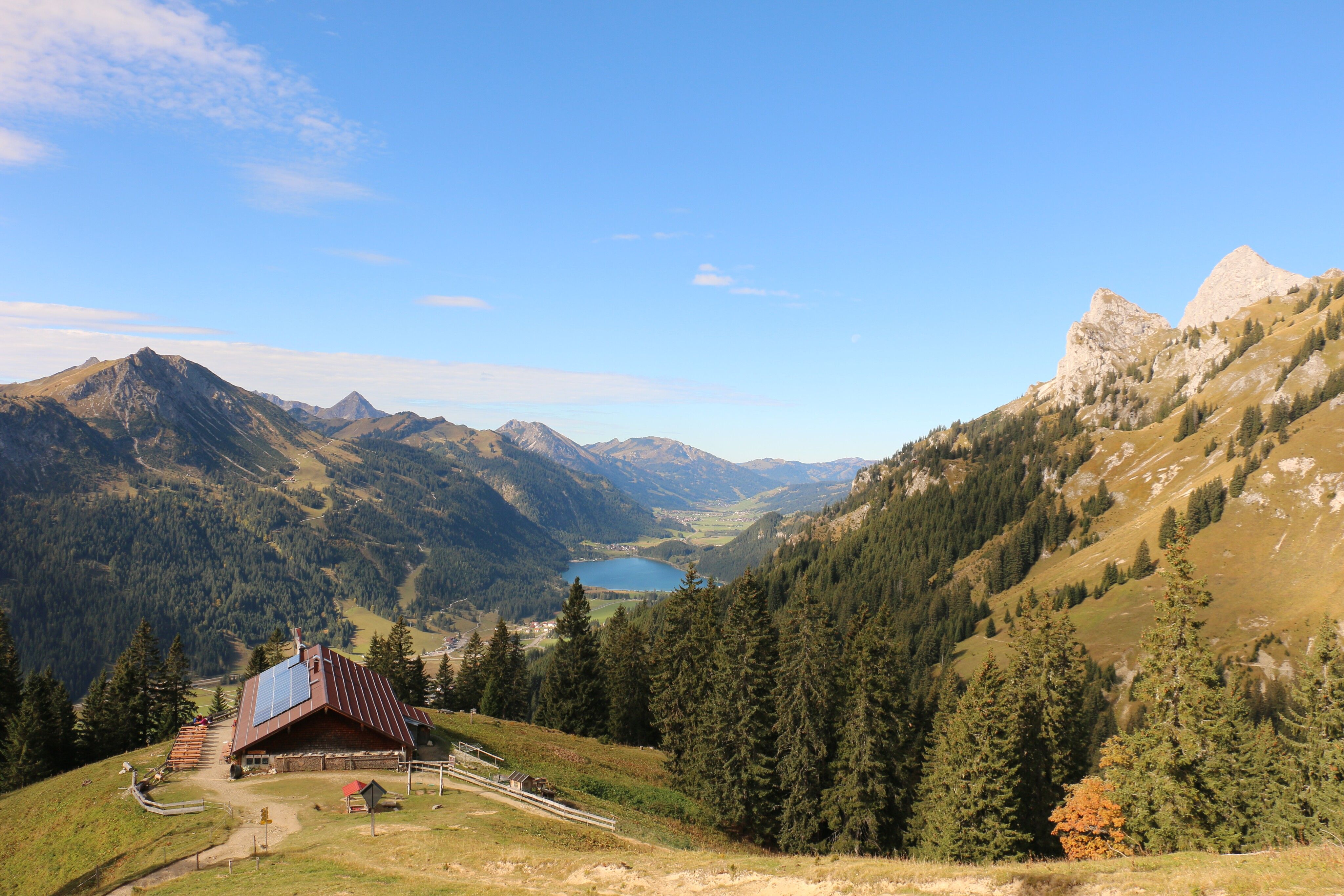
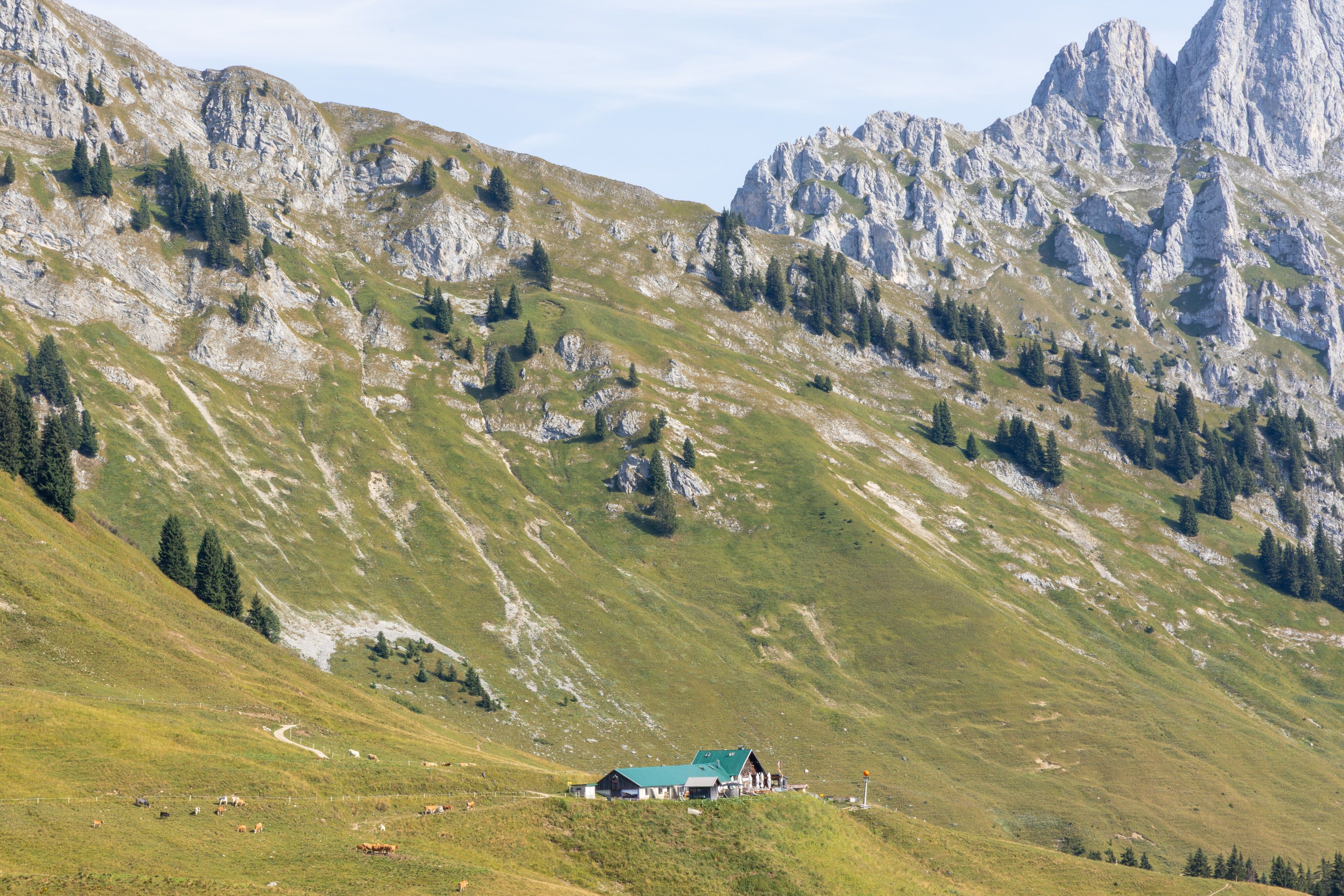
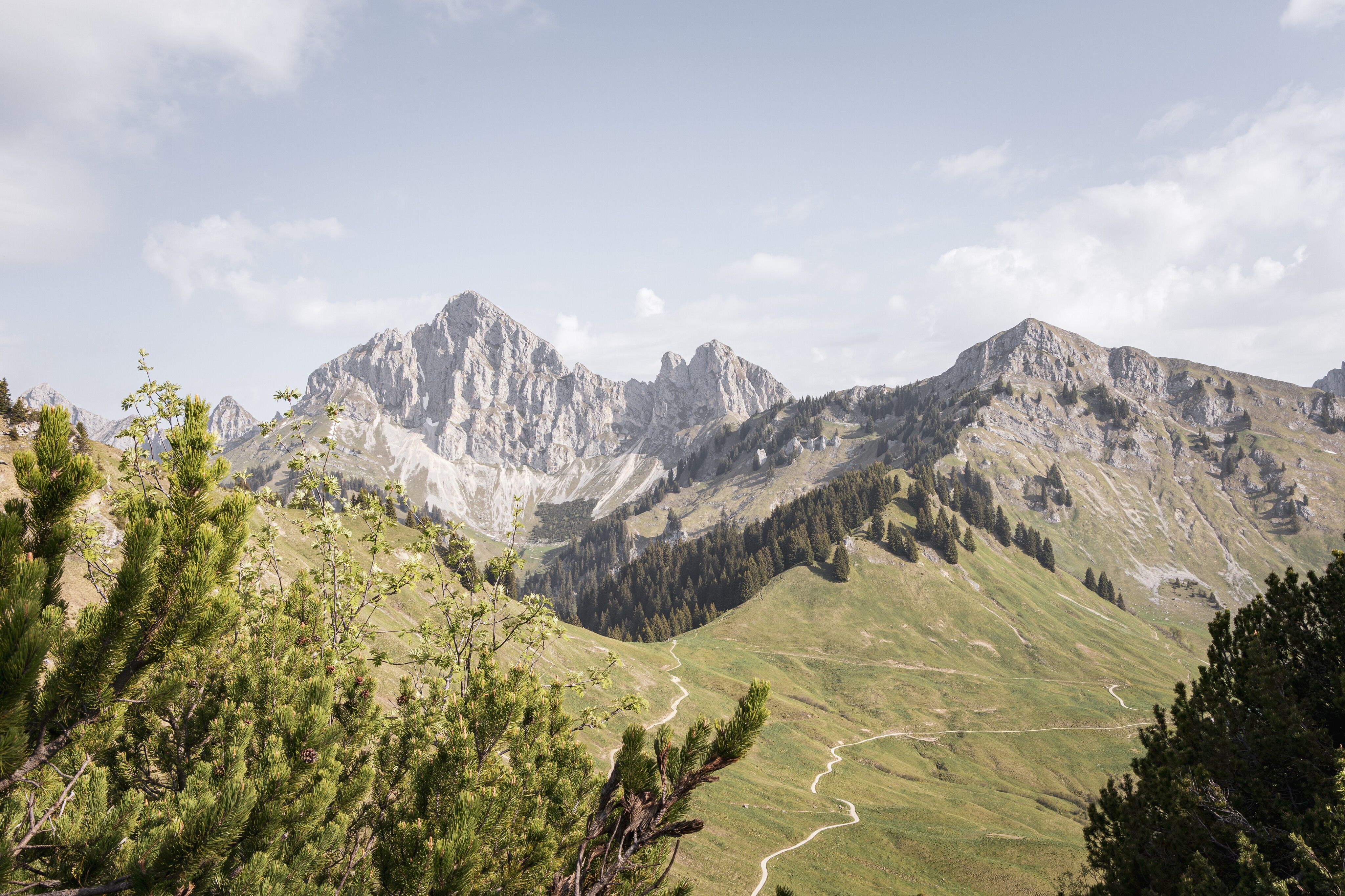
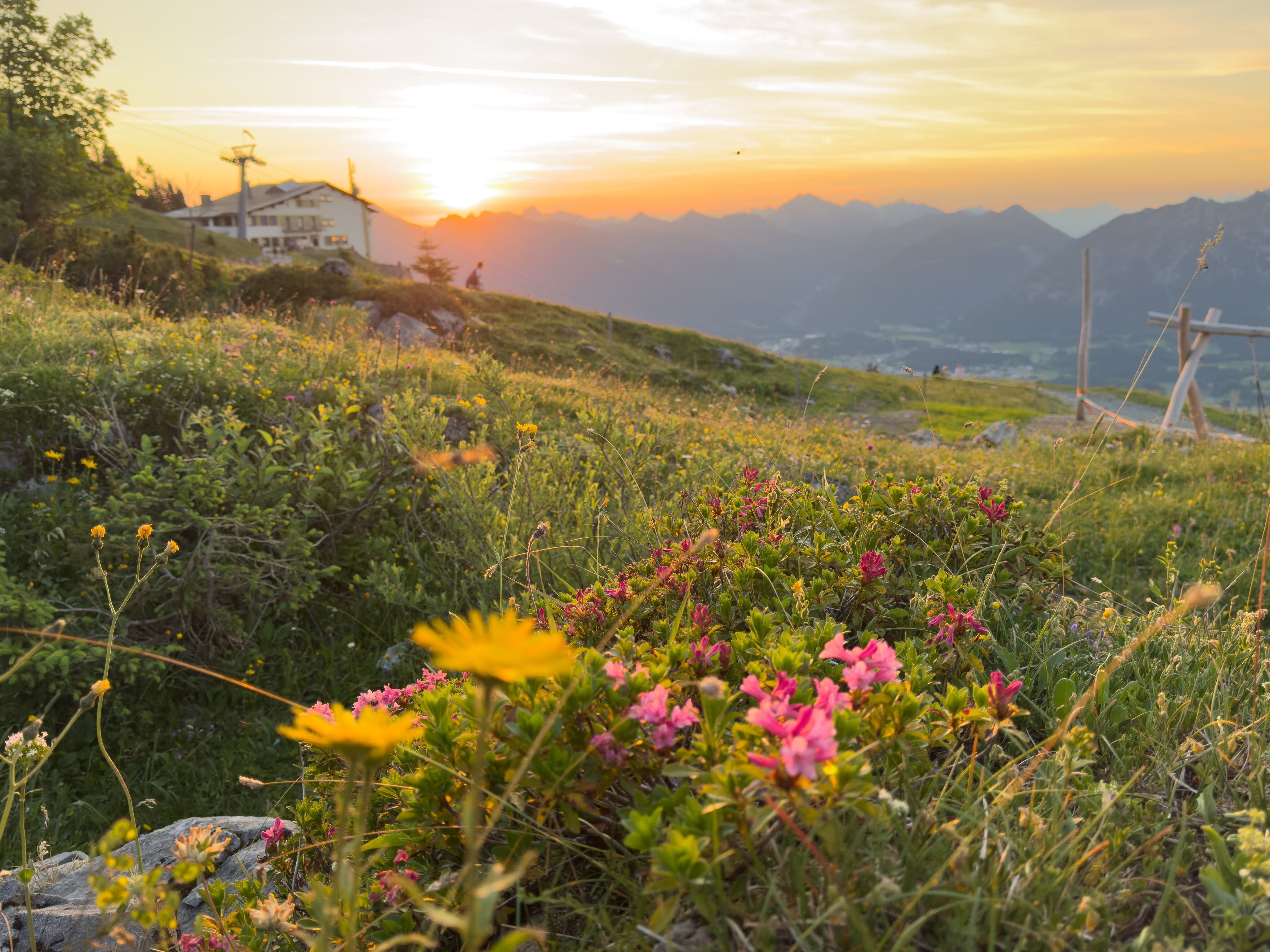
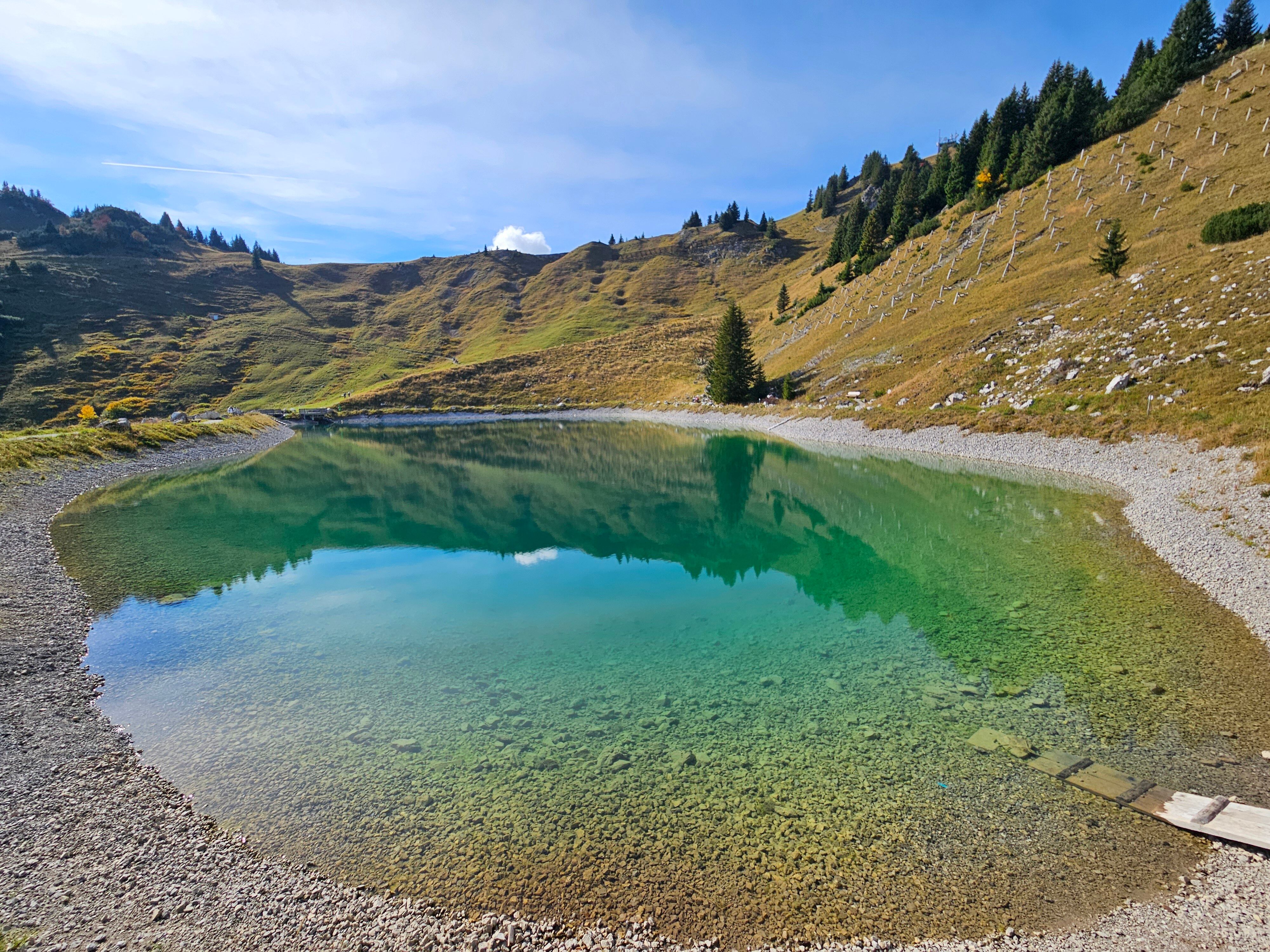
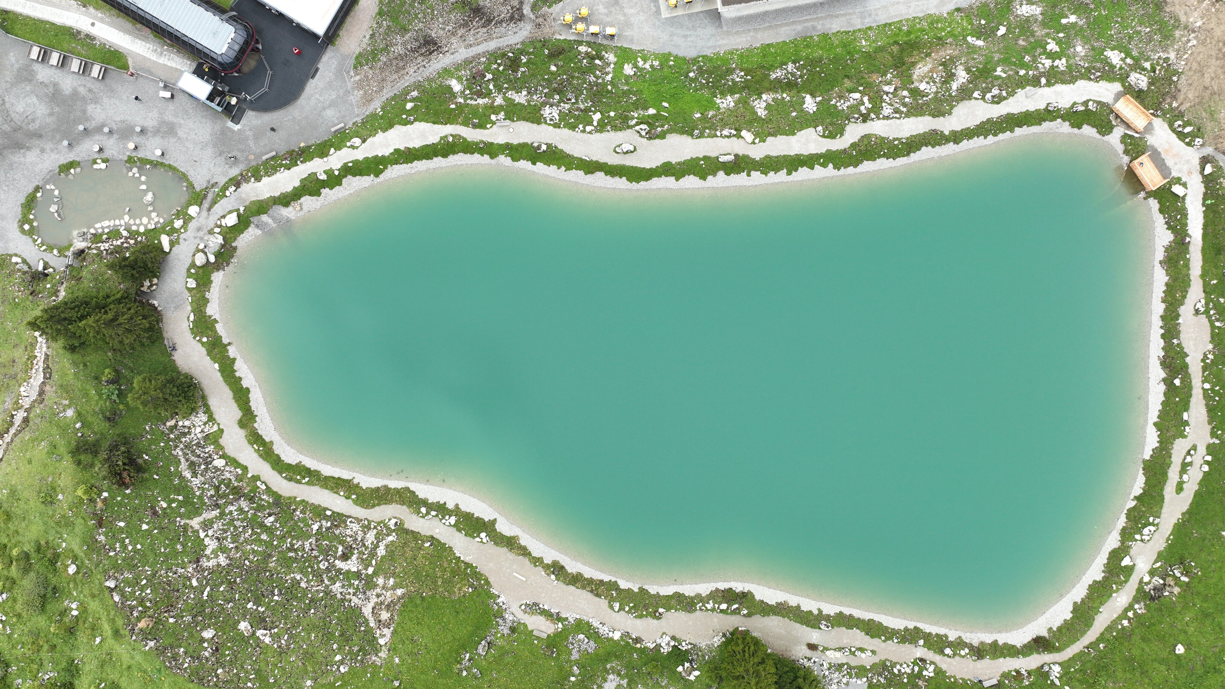
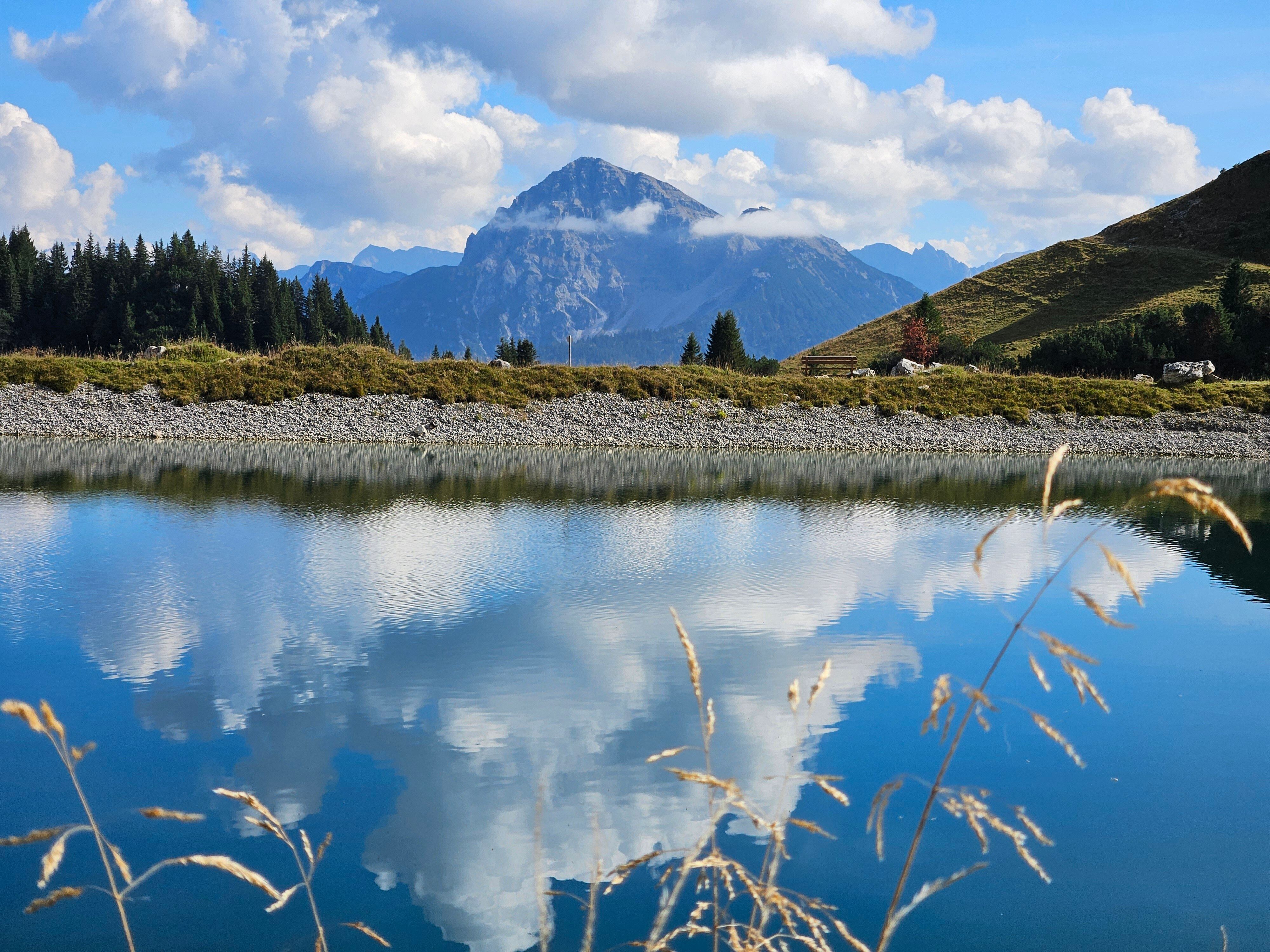
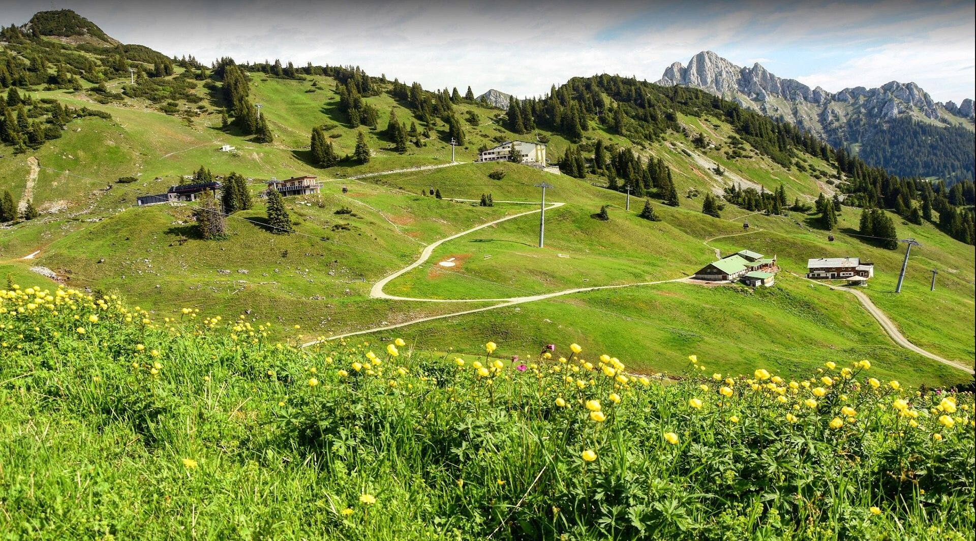
Experience the impressive mountain scenery surrounding Reutte on this varied multi-day circular hike, featuring overnight stays at the Säulinghaus and the Musauer Alm. Passing the idyllic Urisee lake, crossing scenic alpine pastures and spectacular high-level trails, the route leads through the Hahnenkamm mountain region before returning to Reutte. Magnificent panoramas, traditional mountain huts and unforgettable nature experiences make this tour a truly special hiking adventure.

Day 1: Reutte to the Säulinghaus

  • Distance: 10,7 km
  • Elevation gain: 1.093 m
  • Elevation loss: 214 m
  • Highest point: 1.690 m
Your hike begins at Reutte railway station. From there, follow the trail to Lake Urisee and continue to the Dürrenberg Alm. The route then leads towards the Falzkopf via the Klemmtal Alp before reaching the Säulinghaus. Alternatively, from the Dürrenberg Alm you can hike to the Säulinghaus via the Koflerjoch pass.

Day 2: Säulinghaus to Musauer Alm
  • Distance: 13,7 km
  • Elevation gain: 432 m
  • Elevation loss: 851 m
  • Highest point: 1.693 m
From the Säulinghaus, descend towards Pflach and continue via Oberletzen and Musau-Roßschläg. From Bärenfalle, the trail climbs up to the Musauer Alm, where you will spend the night.

Day 3: Musauer Alm to Höfen
  • Distance: 7,4 km
  • Elevation gain: 884 m
  • Elevation loss: 431 m
  • Highest point: 1.860 m
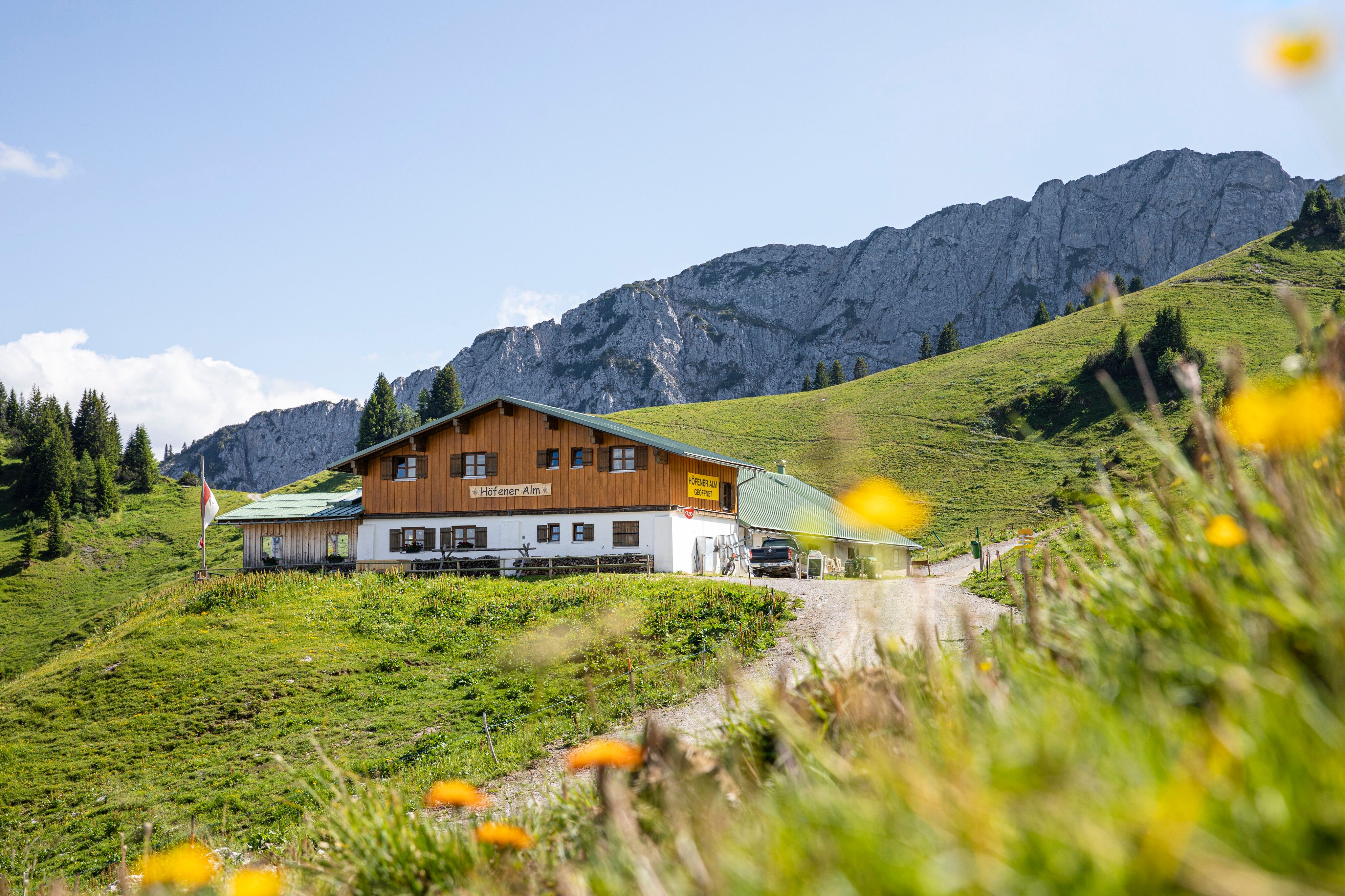
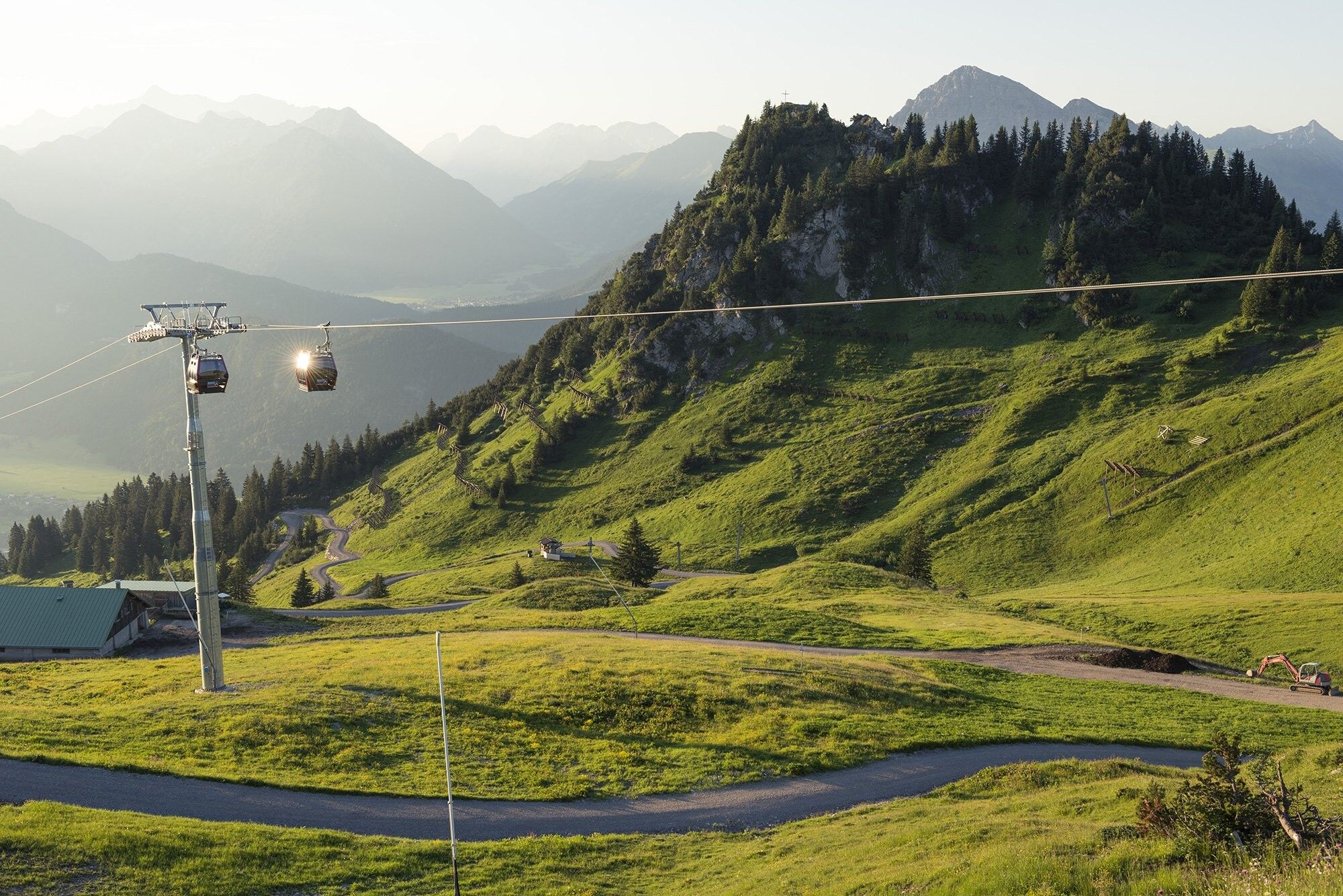
From the Musauer Alm, hike via the Sabachjoch pass to the Schneetal Alm. The route continues through the Hahnenkamm hiking area to the Höfener Alm. From there, take the Reutte cable car down to Höfen.

Return Journey
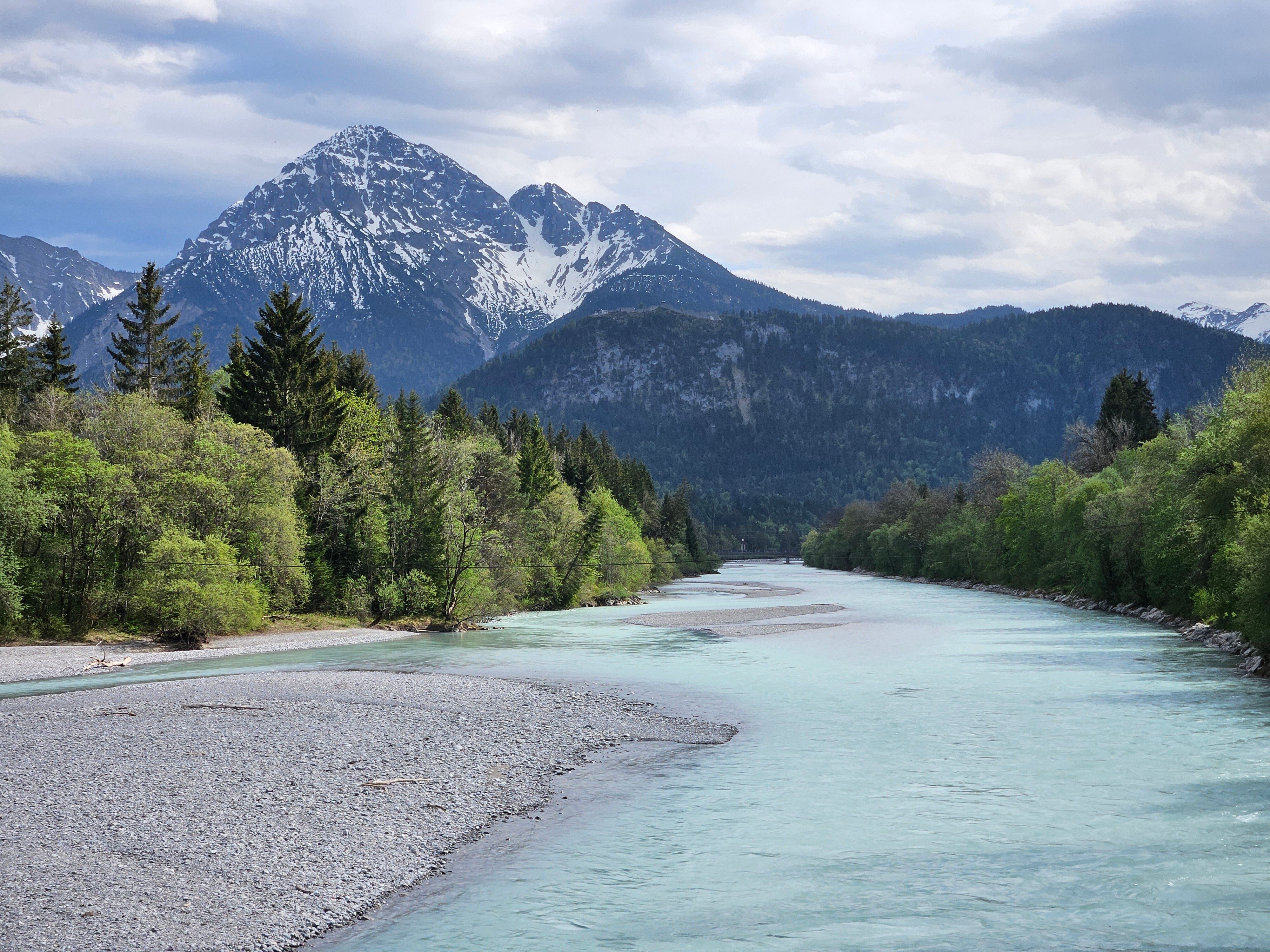
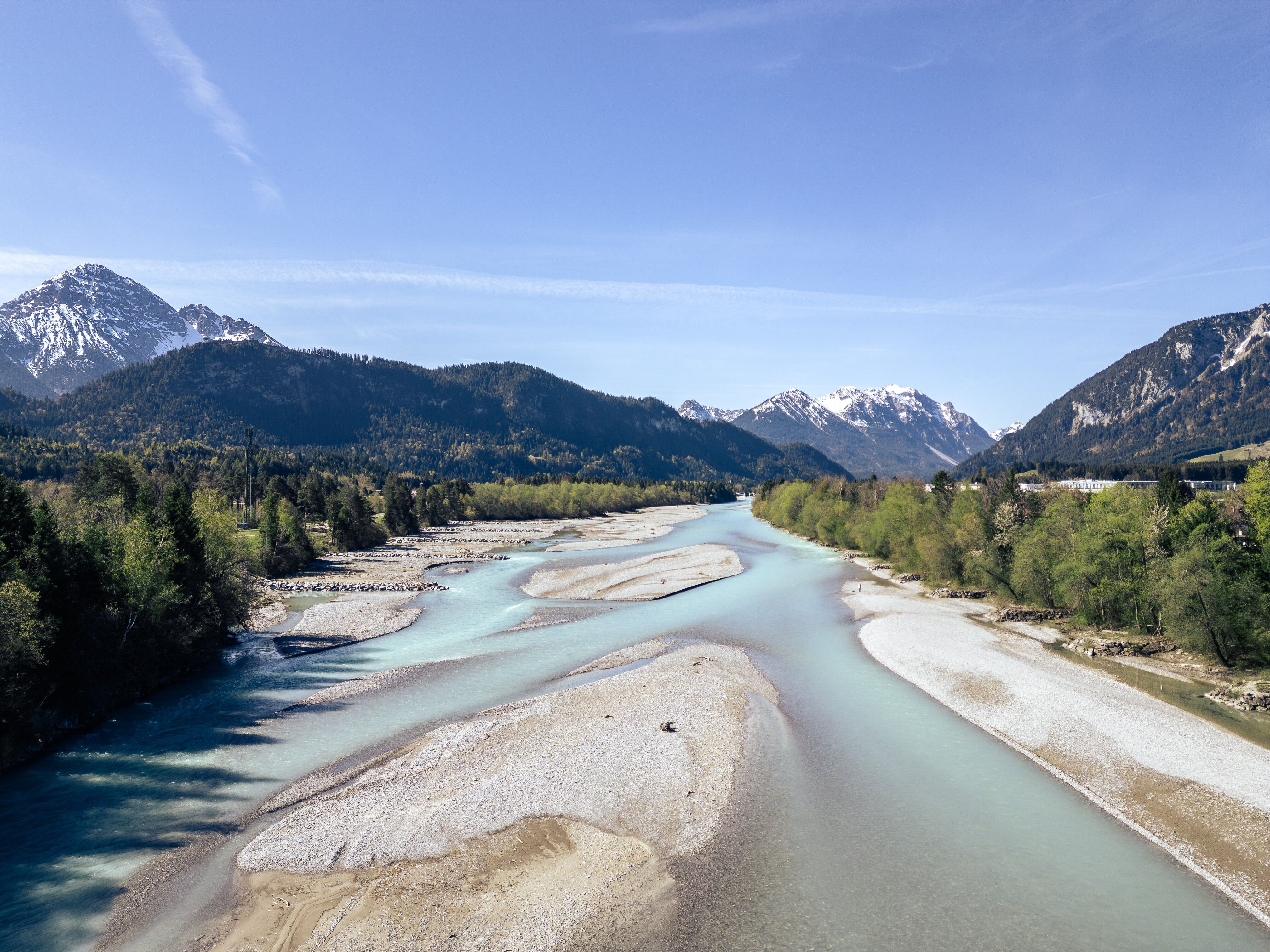
From Höfen, you can either walk back to Reutte railway station along the River Lech (approx. 5 km) or take the bus from the municipal office in Höfen to Reutte railway station.

Nearby huts and mountain restaurants

Getting here

  • Arrival by public transport

    Reutte Train Station

  • Parking

    Car park at Waldrastlift

More long-distance hiking trails

Newsletter

The mountain is calling? So does our newsletter!

In our monthly newsletter we reveal the best holiday tips for Tyrol.