

Difficulty:difficult
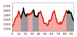
Length:22.8 kmDuration:3 daysElevation uphill:2,650 m
Long-distance hiking trail in the footsteps of the eagle
Gravel roads, footpath
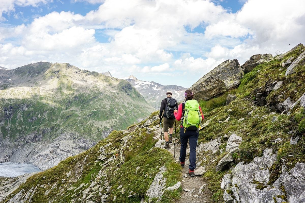
Basic equipmentformountainhikingincludessturdy hiking bootswith a goodtread, a 30-35 literbackpack, and functionalclothingbased on thelayeringprinciple, includingsufficient spare clothes. Essential itemsare rain, cold, and sunprotection, adequatefluids and food, aswellas a first-aid kit and a charged mobile phone. A mapor a GPS devicesupportsorientation.
The informationservesas a guideline and does not claimtobe exhaustive. Equipment mustalwaysbeadaptedtothe planned route, weatherconditions, season, naturalhazards, environmental influences, and personal needs.
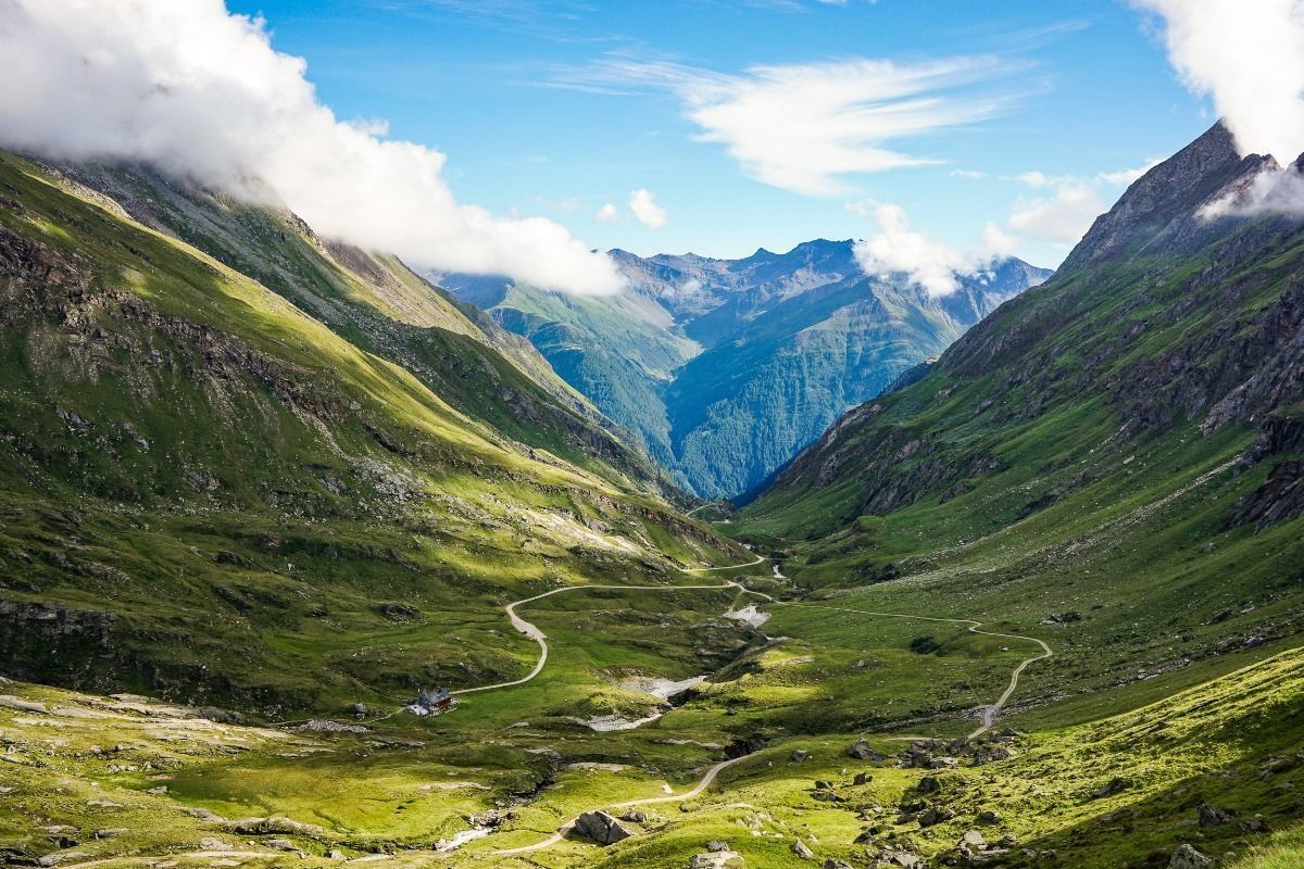
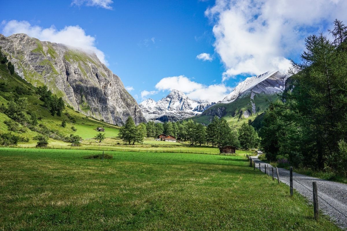
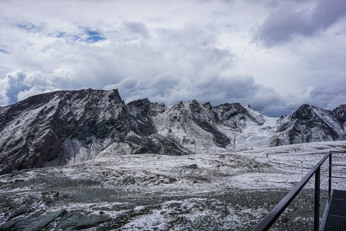
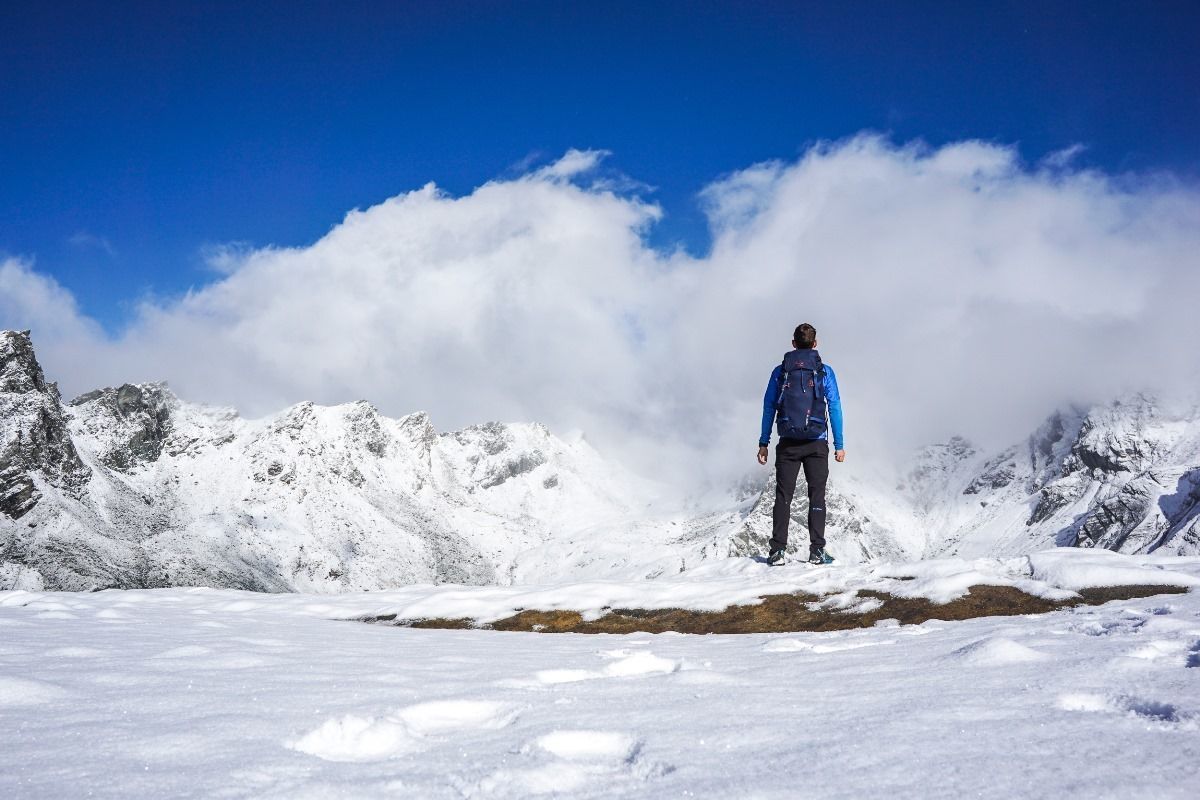
Stretching almost 100 kilometres and broken up into nine stages, East Tirol’s Eagle Walk travels through the spectacular Hohe Tauern Range amongst Austria’s tallest peaks: From Ströden, located on foot of Großvenediger Mountain to Kals, located on foot of Großglockner Mountain.
The biggest glaciers in the Eastern Alps and the highest mountains in Austria: East Tirol’s Hohe Tauern Range exerts a magical attraction for peak baggers and walking enthusiasts. Among a massive cluster of mighty mountains known as the Venediger, Granatspitz, Schober and Lasörling Ranges are several great segments of the Eagle Walk. East Tirol has got 250 “Three Thousanders”, peaks that rise more than 3,000m/10,000ft. above sea level; with some approaching 4,000m/13,000ft. One of the area's best-known and most striking Three Thousanders is as well the tallest mountain of Austria, Großglockner (3,798m/12,460 feet). Hohe Tauern National Park is one of the most popular national parks in Austria, greeting visitors with rugged postcard-perfect peaks, mighty ice-covered glaciers, pristine lakes and superb trails. The largest protected high-country playground of the European Alps draws hikers, wildlife watchers, mountaineers, rock climbers and photographers year-round.


