
Öffnungszeiten:Heute geöffnet
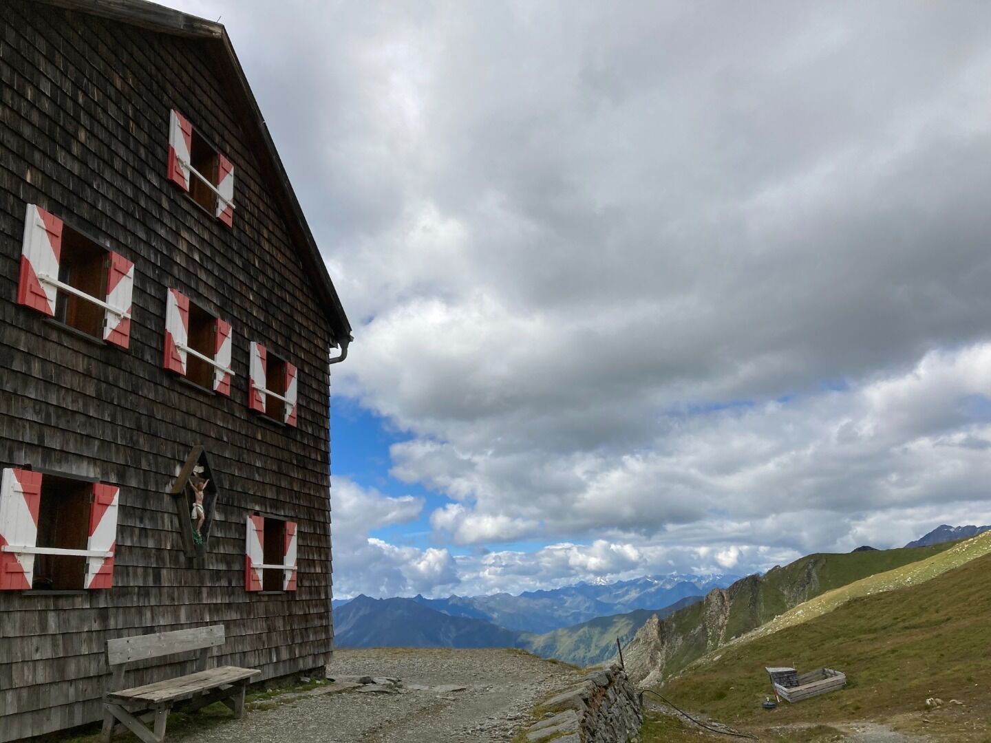
:Alpine pasture / hut / mountain restaurant
Großglockner trek
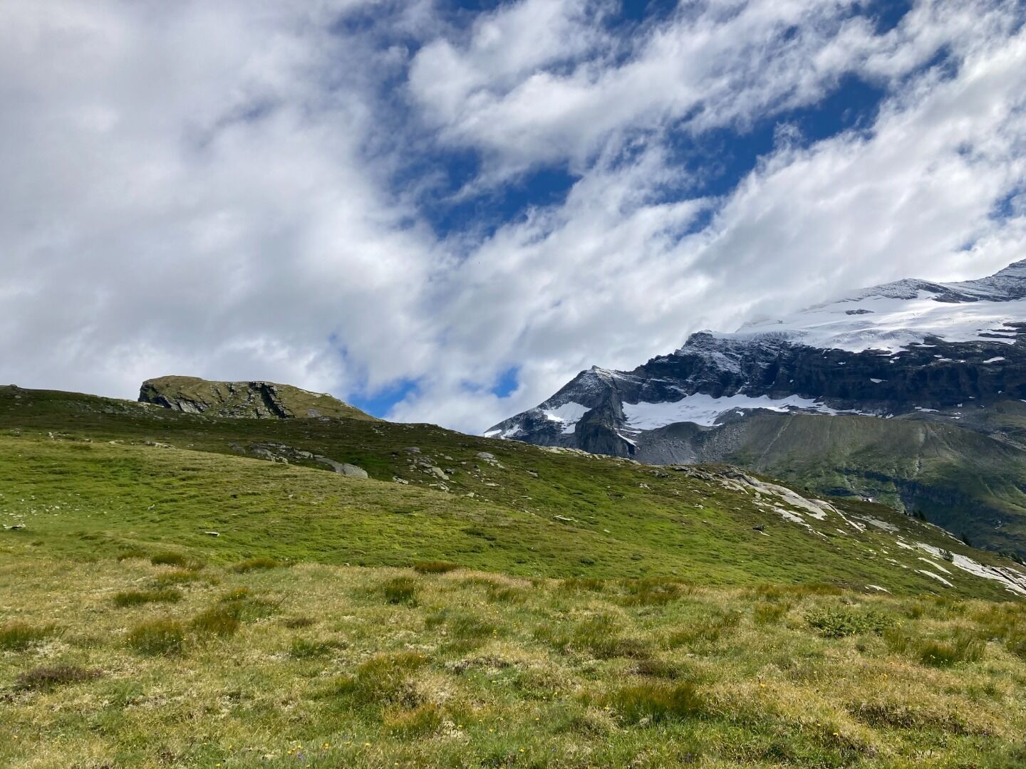
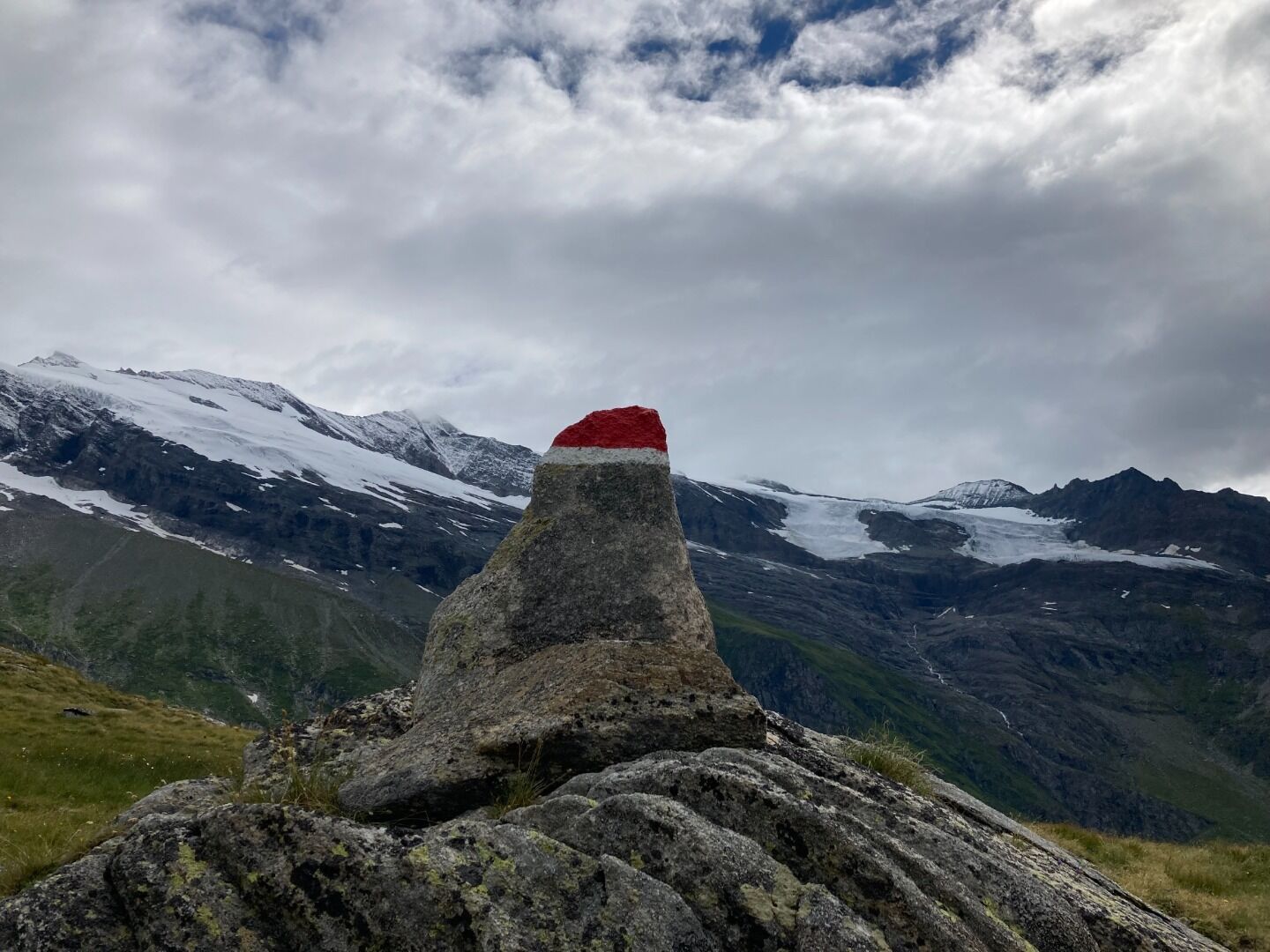
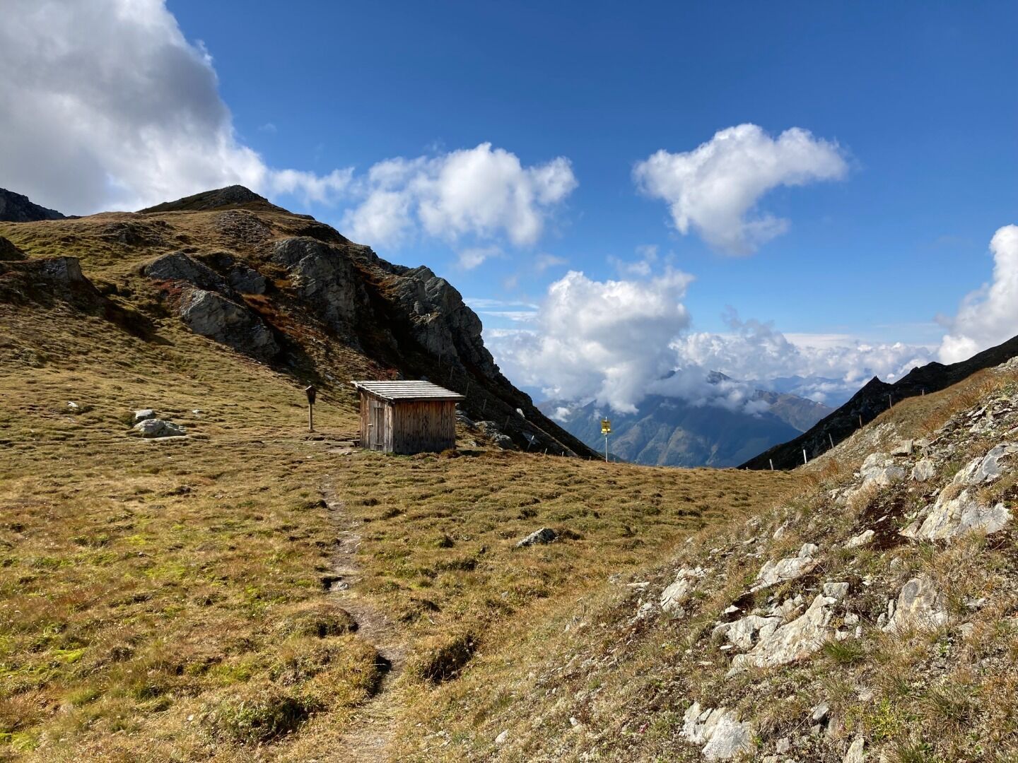
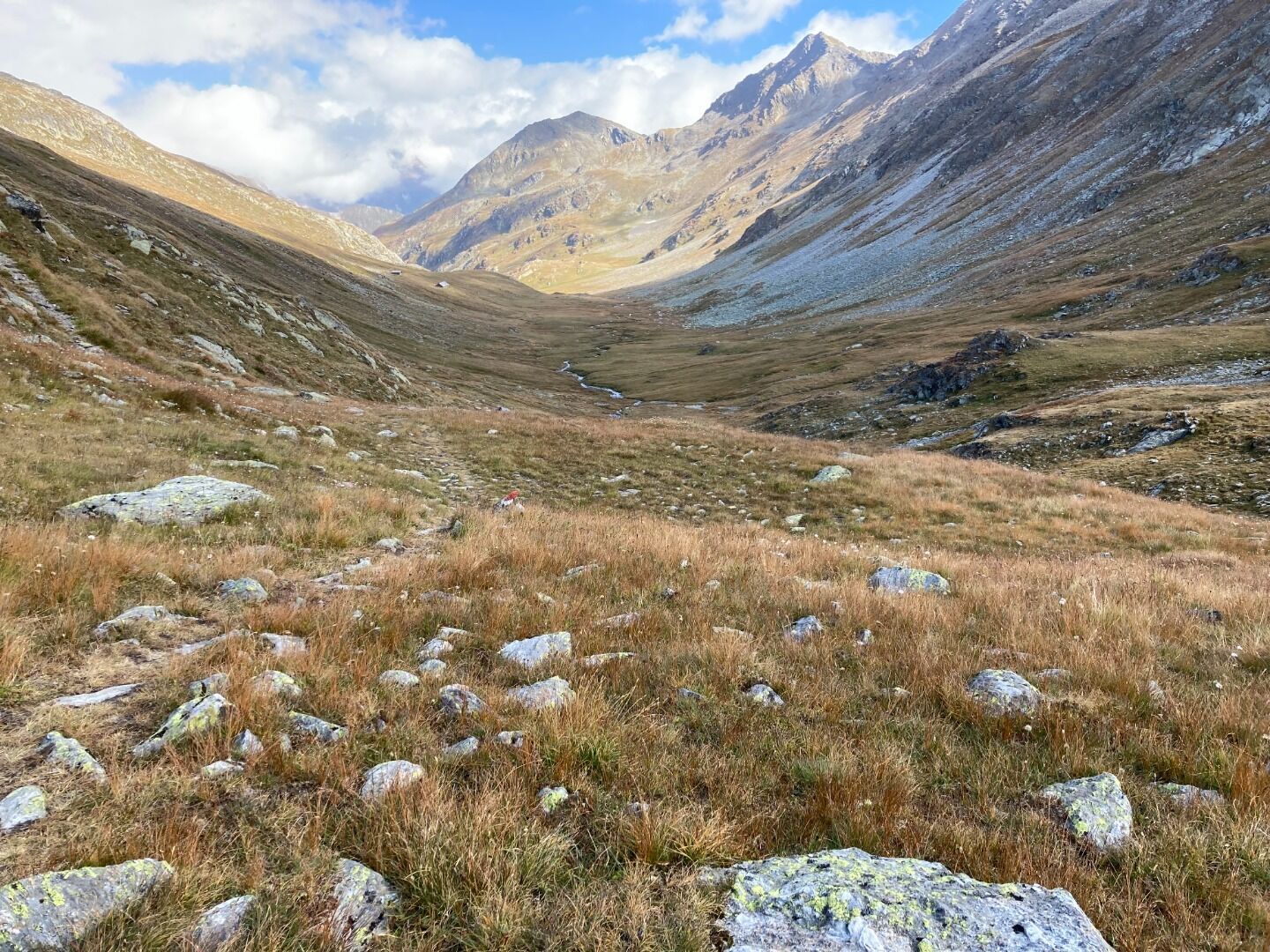
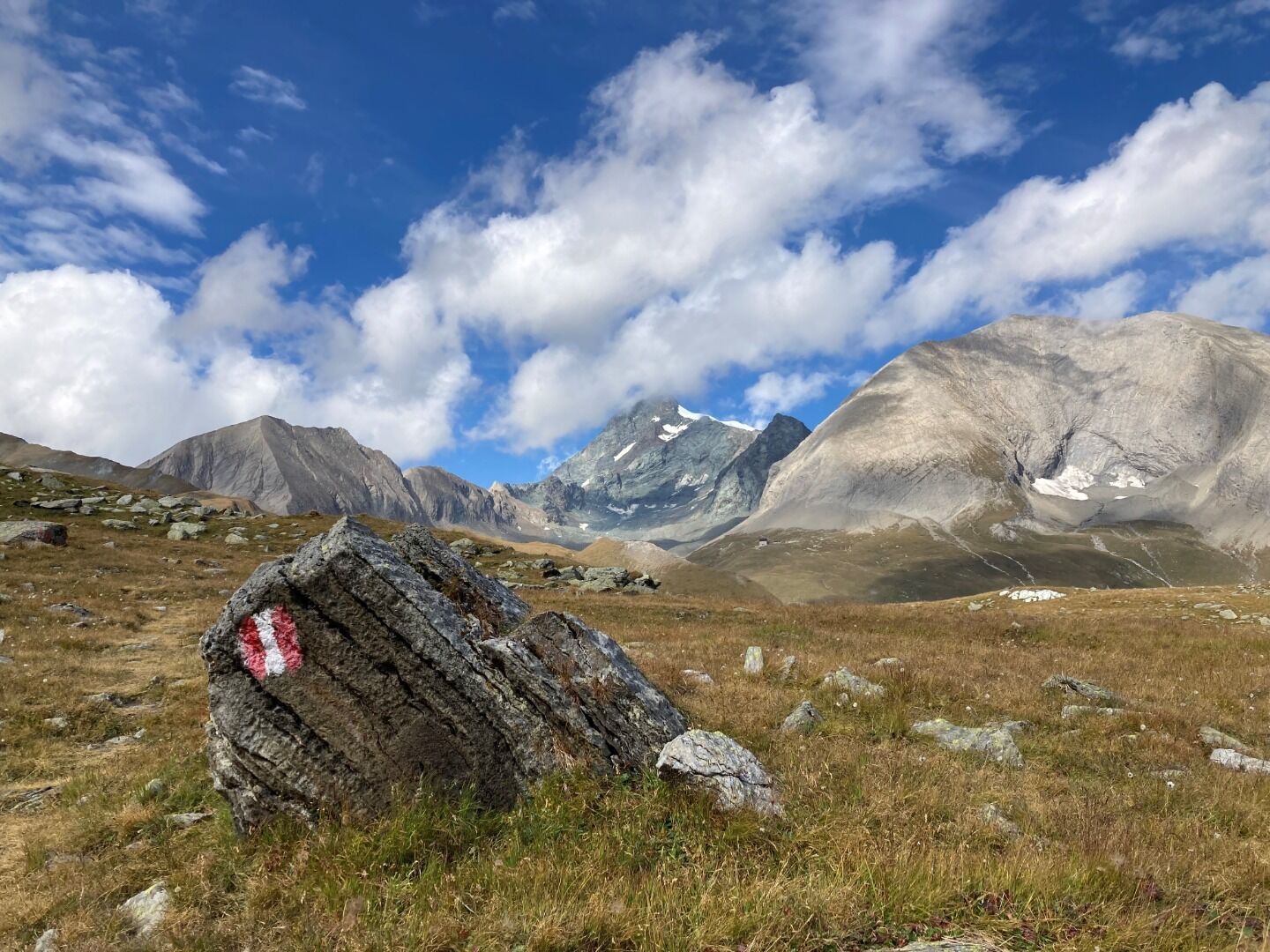
In the International Year of the Mountains (2002), the Austrian Alpine Association, in collaboration with the Hohe Tauern National Park, laid the foundations for hiking around the Großglockner. Situated in the heart of the Hohe Tauern National Park which contrasts impressive, glacier-covered high alpine scenery with a landscape dotted with ancient mine-workings, and carefully cultivated for centuries, the Glockner Tour offers a unique experience of walking in the mountains admidst the wonders of nature.


")


.jpg")


.jpg")


