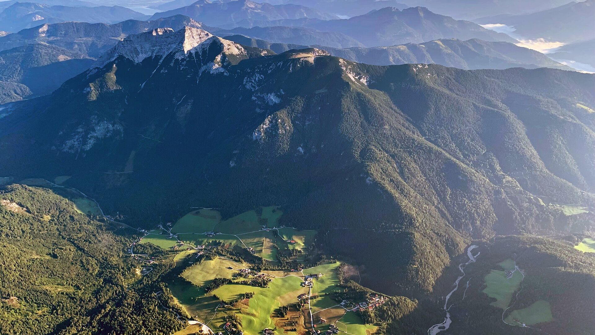

Multi-day hikes From Mountaineering Village to Mountaineering Village

Steinberg am Rofan / Brandenberg Alps (Rofan)
Difficulty ratings: difficult
Route length: 26.1 km
Duration: 2 days

Tour information

  • Requirement: difficult
  • Length: 26.1 km
  • Duration: 2 days
  • Elevation uphill:2,440 hm
  • Elevation downhill:2,650 hm
Highest point2,195 m

Starting point

Steinberg am Rofan, inn Gasthof Waldhäusl (1,015m)

Finishing point

Hiking car park Kreuth - Siebenhütten at the bridge Gernbergbrücke (802m)
  • Fitness level 6 / 6
  • Technique 5 / 6

Best time of year

  • January
  • February
  • March
  • April
  • May
  • June
  • July
  • August
  • September
  • October
  • November
  • December

Trail condition

forest path, hiking trail, steep track which is secured with a steel cable

Equipment

Sturdy boots (ankle-high hiking boots), weather appropriate clothing, enough to drink and eat. Telescopic hiking poles and a first aid kit are recommended. Hut sleeping bag. The tour requires sure-footedness and a head for heights.
Source: Achensee Tourismus

Description

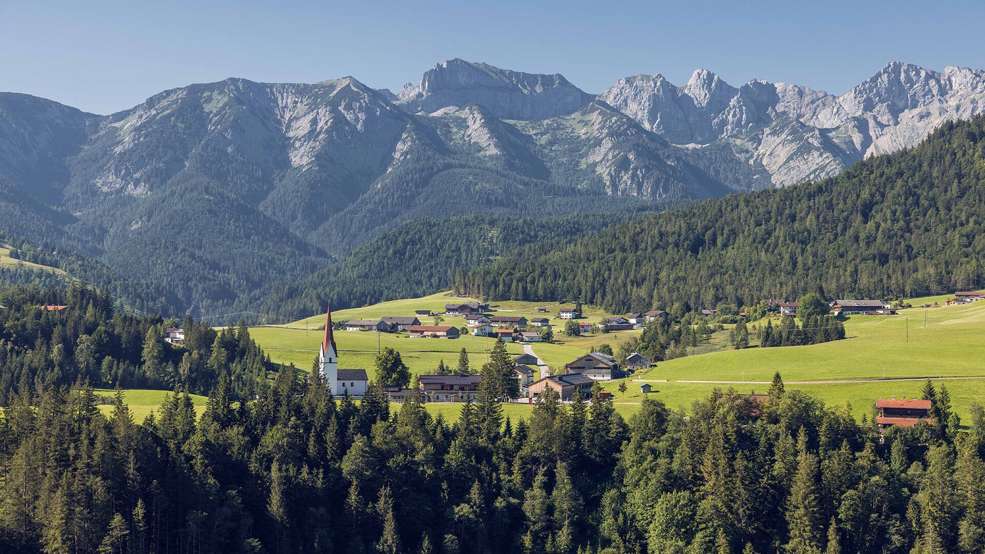
A demanding 2-day hiking tour from the mountaineering village of Steinberg am Rofan to the mountaineering village of Kreuth on the Bavarian side. Hikers can expect many wonderful peaks with a great view and highlights.

Stage 1: 
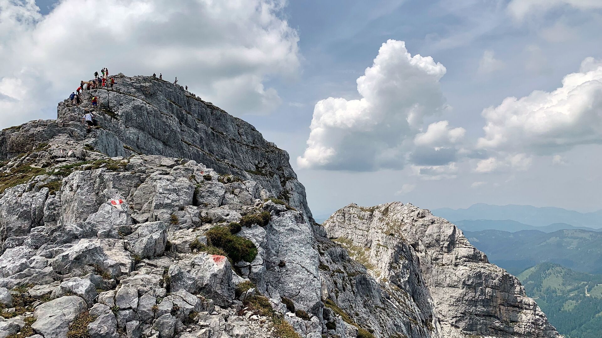
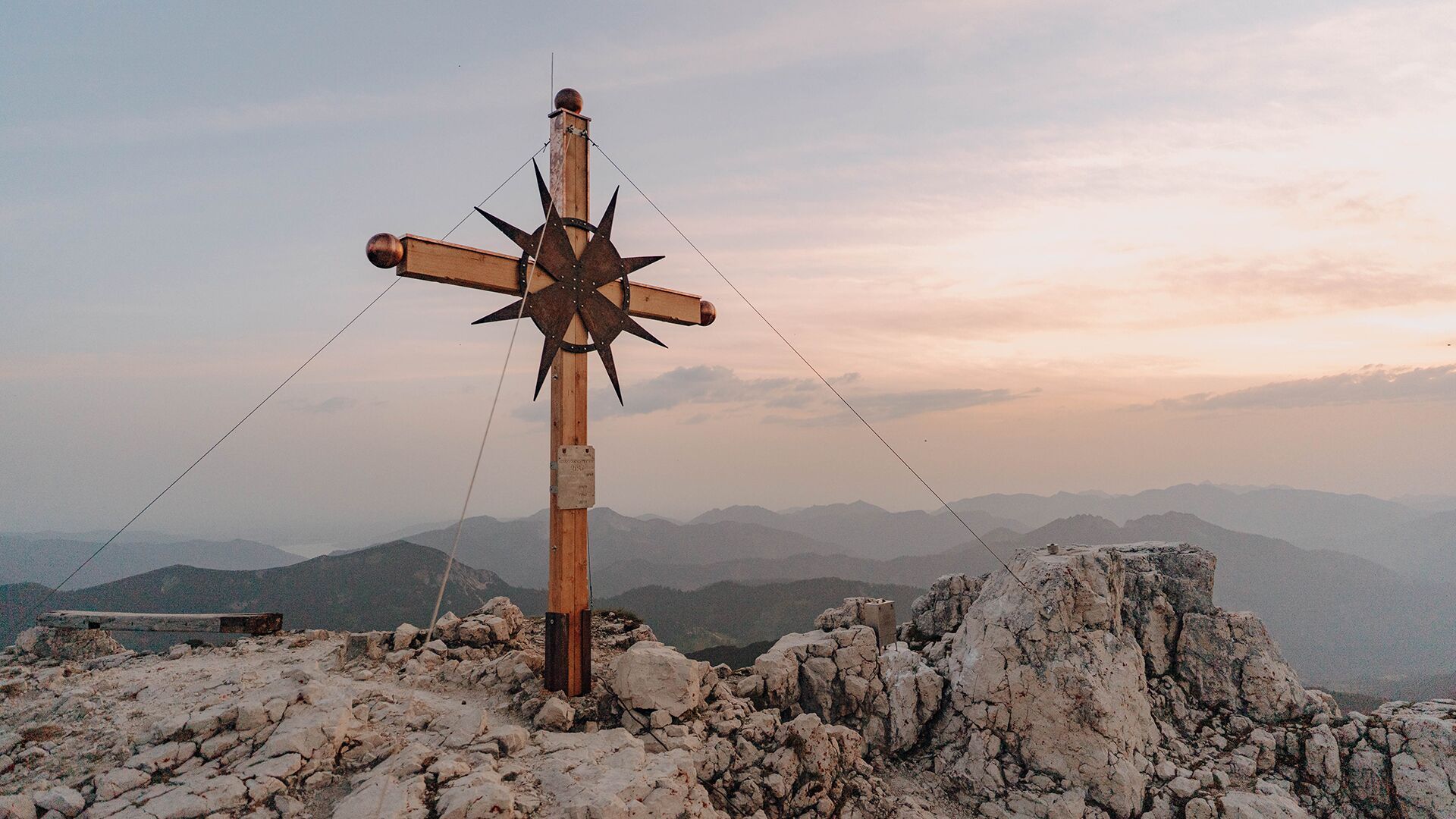
Steinberg am Rofan, Gasthof Waldhäusl (1,015m) - Guffert (2,195m) - Issalm - Schneidjoch (1,811m) - Gufferthütte (1,475m, Refreshment & overnight stay)

Stage 2: 
Gufferthütte - Blaubergkopf (1,787m) - Königsalm, refreshment possibility (1,115m) - Kreuth (hiking car park Kreuth - Siebenhütten at the bridge Gernbergbrücke)
A detour to the mountain peaks Halserspitz (1,863m) and Schildenstein (1,613m), which are on the way, should also be planned. Both offer a wonderful view of the surrounding mountains.

Back to the starting point with the mountaineering bus of the RVO bus line 390 and the VVT bus line 7801. From the bus stop "Siebenhütten, Kreuth" to the bus stop "Achenkirch Abzw Steinberg a. R.", change there to Steinberg am Rofan, exit at the bus stop "Steinberg a. R. Abzw Waldhäusl". Please pay attention to the bus departure times!

Nearby huts and mountain restaurants

Getting here

  • Arrival by public transport

    Take the regional bus (line 4080 towards Achenkirch, change to line 7801 to Steinberg am Rofan) and get off at the stop "Steinberg a. R. Abzw Waldhäusl". The inn Gasthof Waldhäusl is located nearby.

  • Parking

    Turn off the Achensee main road (B181) in Achenkirch in the direction of Steinberg am Rofan. Follow the L221 Steinberg state road for just under 9km until you reach Steinberg am Rofan. The Unterberg car park is signposted on the left-hand side of the road just after the village sign.
    Unterberg car park below the Gasthof Waldhäusl in Steinberg am Rofan (paid parking)

Weather

Today

clear sky
15°C/1°C
5%0l10 km/h

Wed

light rain
10°C/3°C
80%2l5 km/h

Thu

mainly clear
11°C/1°C
5%0l5 km/h
Go to weather forecast

More long-distance hiking trails

  • Karwendel High Trail

    Difficulty:difficult
    Length:70.0 kmDuration:27:30 hElevation uphill:4,470 m
  • Karwendeltour

    Difficulty:medium
    Length:41.0 kmDuration:4 daysElevation uphill:1,875 m
  • Karwendel tour

    Difficulty:difficult
    Length:44.2 kmDuration:4 daysElevation uphill:3,955 m
  • Talweg Matrei i. O.

    Difficulty:medium
    Length:15.3 kmDuration:4:50 hElevation uphill:397 m
  • Pilgerweg Prägraten a.G.

    Difficulty:medium
    Length:33.1 kmDuration:27:00 hElevation uphill:2,793 m
  • Tour 3

    Difficulty:difficult
    Length:32.8 km
  • 2TälerTrail

    Difficulty:medium
    Length:92.0 kmDuration:41:30 hElevation uphill:5,550 m
  • Gschnitztaler Hüttenstern

    Difficulty:medium
    Length:82.1 kmDuration:7 daysElevation uphill:5,503 m
  • Tiroler Burgenweg

    Difficulty:medium
    Length:63.0 kmDuration:5 daysElevation uphill:2,228 m
  • 3-day hut tour Wilder Kaiser

    Difficulty:difficult
    Length:24.6 kmDuration:14:00 hElevation uphill:2,060 m
  • Trail Virgentaler Sonnseitenweg

    Difficulty:medium
    Length:41.9 kmDuration:1 dayElevation uphill:2,641 m
  • 3-Tages-Tour Wilder

    Difficulty:difficult
    Length:13.6 kmDuration:7:09 hElevation uphill:694 m
  • Iseltrail

    Difficulty:medium
    Length:75.3 kmDuration:24:30 hElevation uphill:2,347 m
  • 3-Tages-Tour Wilder

    Difficulty:difficult
    Length:11.0 kmDuration:4:51 hElevation uphill:1,122 m
Newsletter

The mountain is calling? So does our newsletter!

In our monthly newsletter we reveal the best holiday tips for Tyrol.
