Hut hike 2TälerTrail

Hopfgarten im Defereggental / Venediger Group
Difficulty ratings: medium
Route length: 92.0 km
Duration: 41:30 h

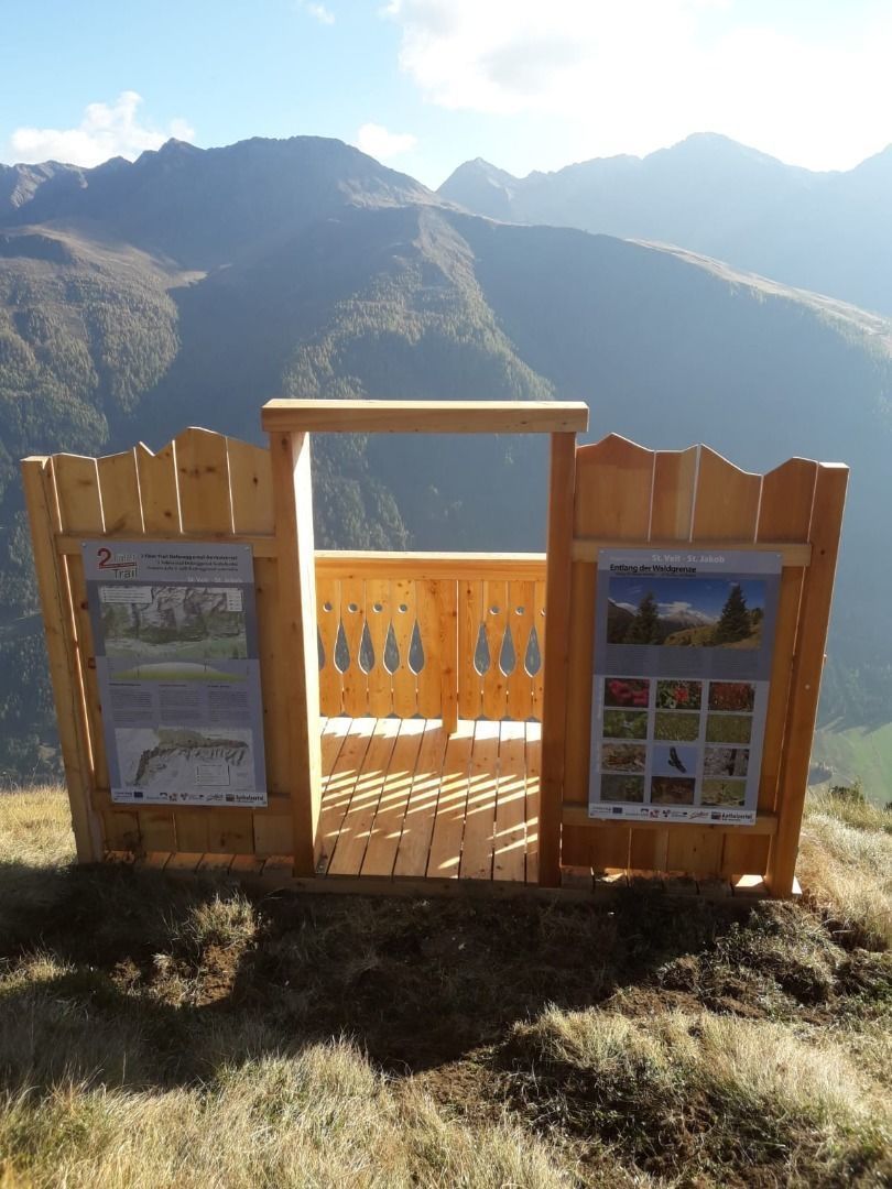
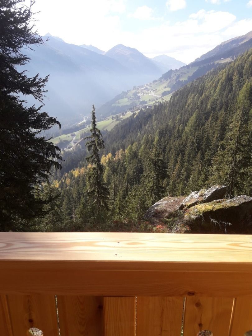
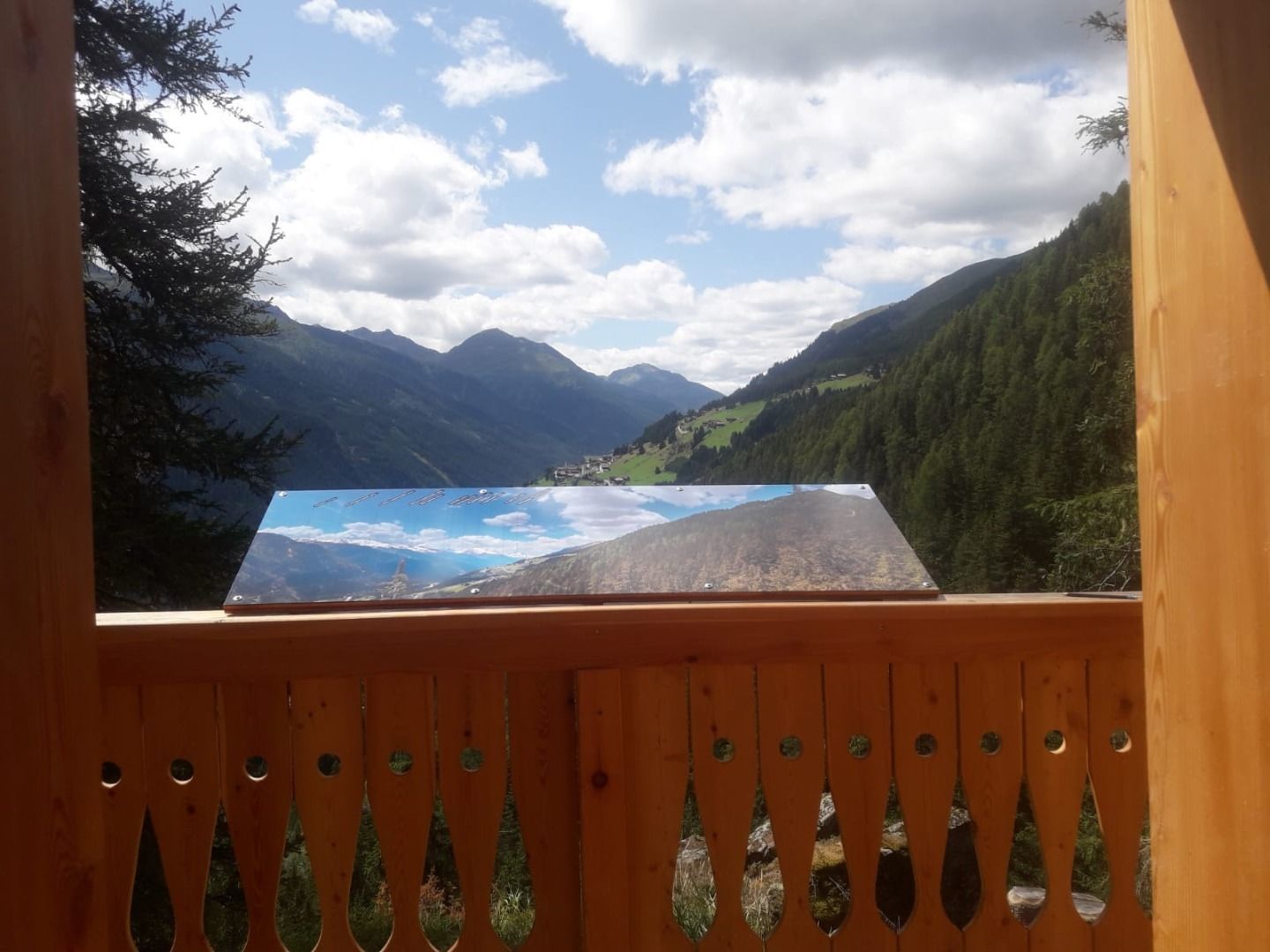
Time-out along the picture balcony of the alps - long-dinstance-hiking along the "2TälerTrail"
Tour information

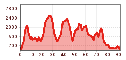
  • Requirement: medium
  • Length: 92.0 km
  • Duration: 41:30 h
  • Elevation uphill:5,550 hm
  • Elevation downhill:5,614 hm
Highest point2,376 m

Starting point

Hopfgarten im Defereggental

Finishing point

Olang / Südtirol
  • Fitness level 4 / 6
  • Technique 3 / 6

Features

  • Multi-day hike

Best time of year

  • January
  • February
  • March
  • April
  • May
  • June
  • July
  • August
  • September
  • October
  • November
  • December
Source: TVB Osttirol

Description

The boarder crossing "2TälerTrail" from East to South Tyrol leads to ways where minings, varlets, church-goers and smugglers have walked ever since. This path is around 90 kilometres long and takes up to six days from Hopfgarten in Defereggen via St. Jakob in Defereggen and the Staller Sattel to Rasen in the Antholzertal-valley.

The "2TälerTrail" is consciously no high alpine long-distance-hiking-trail and also no monoton valley trail, it's just a trail inbetween. It leads along avarage levels, between high alpine terrain and the valley bottom. Alpine mountain scenarious and cultural landscapes are changing. The views to the snow covered peaks of the Lasörling-group, Villgarter-mountains and the Rieserverner-group are simply stunning.

Figuratively speaking, neither does the hiker walk on the roof nor on the ground floor but on the balcony of the alps. Choose your night stop in a village in one of the loveley hotels, guesthouses with halfboard or private rooms with breakfast after a superior hiking day.

Nearby huts and mountain restaurants

More long-distance hiking trails

  • Karwendel High Trail

    Difficulty:difficult
    Length:70.0 kmDuration:27:30 hElevation uphill:4,470 m
  • 3-Tages-Tour Wilder

    Difficulty:difficult
    Length:11.0 kmDuration:4:51 hElevation uphill:1,122 m
  • 3-Tages-Tour Wilder

    Difficulty:difficult
    Length:13.6 kmDuration:7:09 hElevation uphill:694 m
  • KAT WALK FAMILY

    Difficulty:medium
    Length:52.5 kmElevation uphill:3,390 m
  • KAT WALK COMPACT

    Difficulty:medium
    Length:83.0 kmDuration:36:45 hElevation uphill:5,462 m
  • 4 days - 4 summits tour

    Difficulty:medium
    Length:54.4 kmDuration:23:00 hElevation uphill:3,408 m
  • Karwendel tour

    Difficulty:difficult
    Length:44.2 kmDuration:24:00 hElevation uphill:3,955 m
  • Lechweg

    Difficulty:medium
    Length:125.0 kmDuration:40:00 hElevation uphill:3,021 m
  • Talweg Matrei i. O.

    Difficulty:medium
    Length:15.3 kmDuration:4:50 hElevation uphill:397 m
  • 3-day hut tour Wilder Kaiser

    Difficulty:difficult
    Length:24.6 kmDuration:14:00 hElevation uphill:2,060 m
  • Lechtaler Höhenweg

    Difficulty:difficult
    Length:84.5 kmDuration:45:00 hElevation uphill:6,773 m
  • Eagle Walk Tirol

    Difficulty:difficult
    Length:426.0 kmElevation uphill:30,000 m
  • KAT WALK ALPINE

    Difficulty:medium
    Length:113.0 kmDuration:45:00 hElevation uphill:6,300 m
  • Tiroler Burgenweg

    Difficulty:medium
    Length:63.0 kmDuration:25:00 hElevation uphill:2,228 m
  • Carnic altitude trail

    Difficulty:medium
    Length:160.0 kmDuration:71:00 hElevation uphill:9,499 m
  • Koasa Trail

    Difficulty:medium
    Length:83.0 kmElevation uphill:4,700 m
Newsletter

The mountain is calling? So does our newsletter!

In our monthly newsletter we reveal the best holiday tips for Tyrol.