
Parking
Mit dem Auto bis nach Hollbruck oder nach Sillian
Parkplatz in Hollbruck neben der Kirche
Parkpaltz in Sillian neben dem Elektrogeschäft Aichner
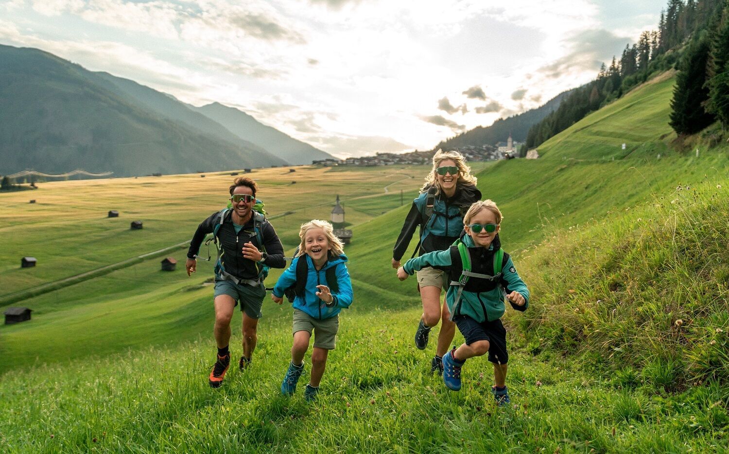
From farm to farm: this family-friendly long-distance hike will remain in your memory as it provides exciting insights into the work of mountain farms.
The five-day Höfe Trail through East Tyrolean and Carinthian Alpine valleys takes you on daily stages of between eight and twelve kilometers on gentle paths through landscapes with great biodiversity and traditional mountain farming villages. Overnight stays in quality-tested family-run businesses that serve regional produce. The easy route close to the valley is also wonderful to hike in spring and fall.
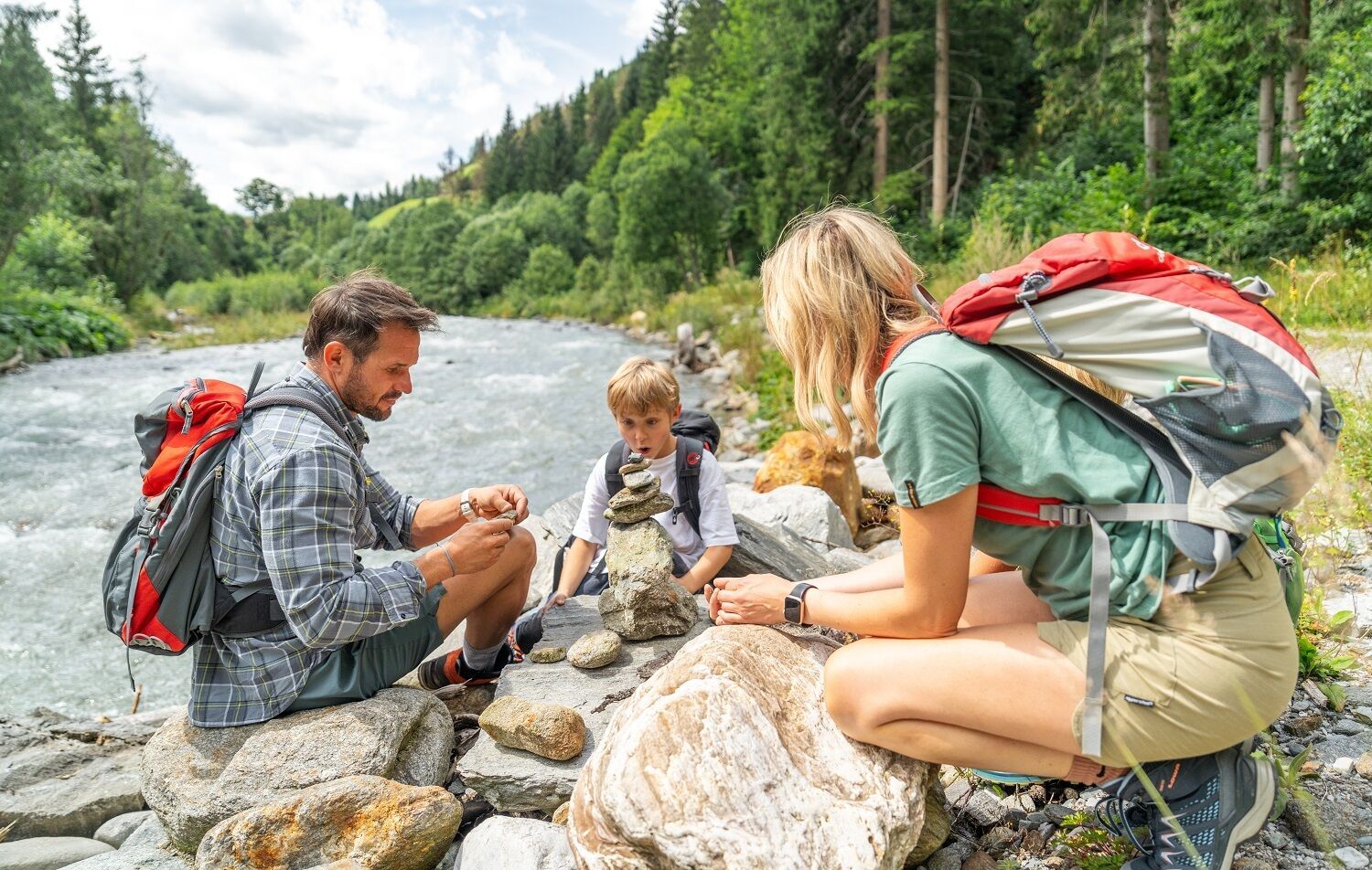
Basic equipmentformountainhikingincludessturdy hiking bootswith a goodtread, a 30-35 literbackpack, and functionalclothingbased on thelayeringprinciple, includingsufficient spare clothes. Essential itemsare rain, cold, and sunprotection, adequatefluids and food, aswellas a first-aid kit and a charged mobile phone. A mapor a GPS devicesupportsorientation.
The informationservesas a guideline and does not claimtobe exhaustive. Equipment mustalwaysbeadaptedtothe planned route, weatherconditions, season, naturalhazards, environmental influences, and personal needs.
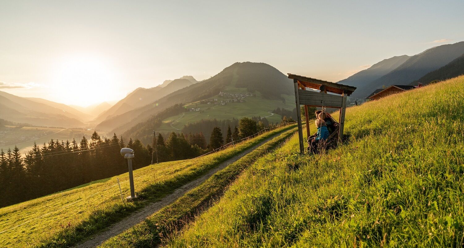
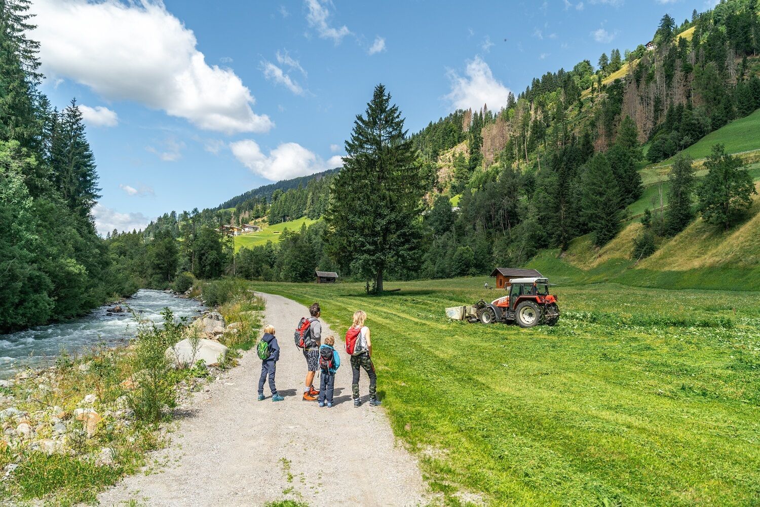
The Höfetrail (Farms Trail) Osttirol leads through the cultivated mountain pasture landscape of the Tyrolean Gail and Lesach Valley. “Close to life”, it enables encounters with the people who work in and with this pristine and varied landscape.
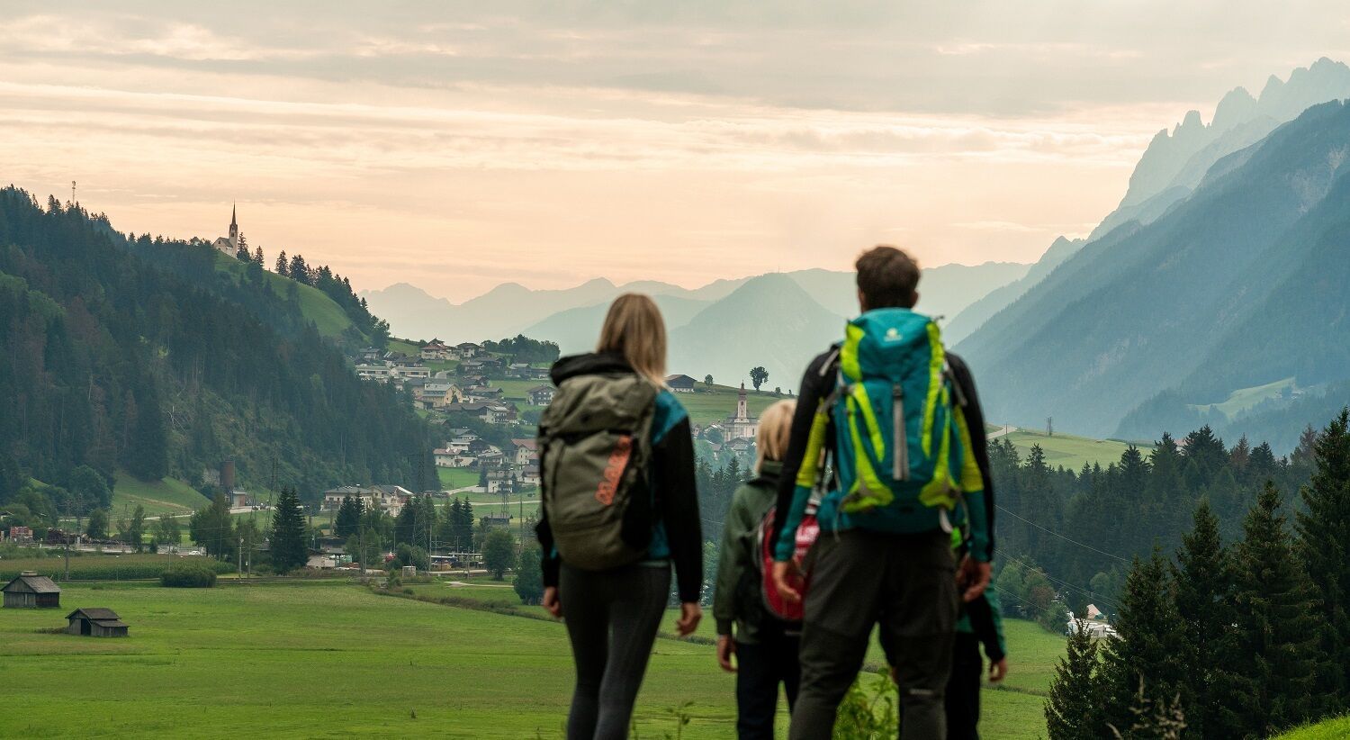
Once you have managed the climb from Sillian into the Tyrolean Gail and Lesach Valley, the Höfe Trail Osttirol leads in three stages for around 30 km through a particularly charming landscape largely shaped by human hands. Across hay meadows, full of countless blossoming flowers and insects, through carefully tended larch meadows, following an easy route along old paths from farm to farm. The short daily stages near the valley averaging only 10 km between the localities and villages Kartitsch, Obertiliach and Untertilliach invite you to linger and enjoy the scenery.
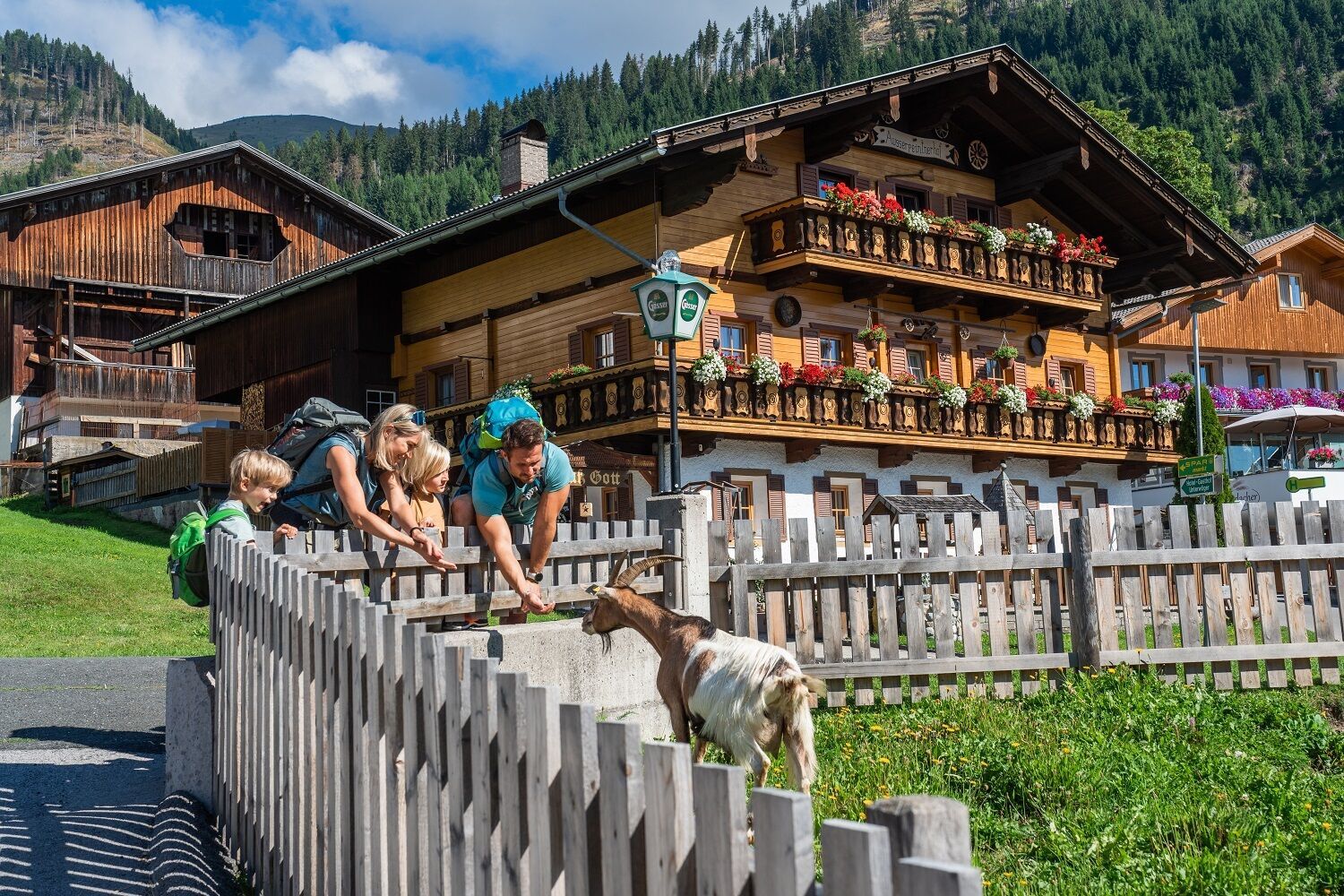
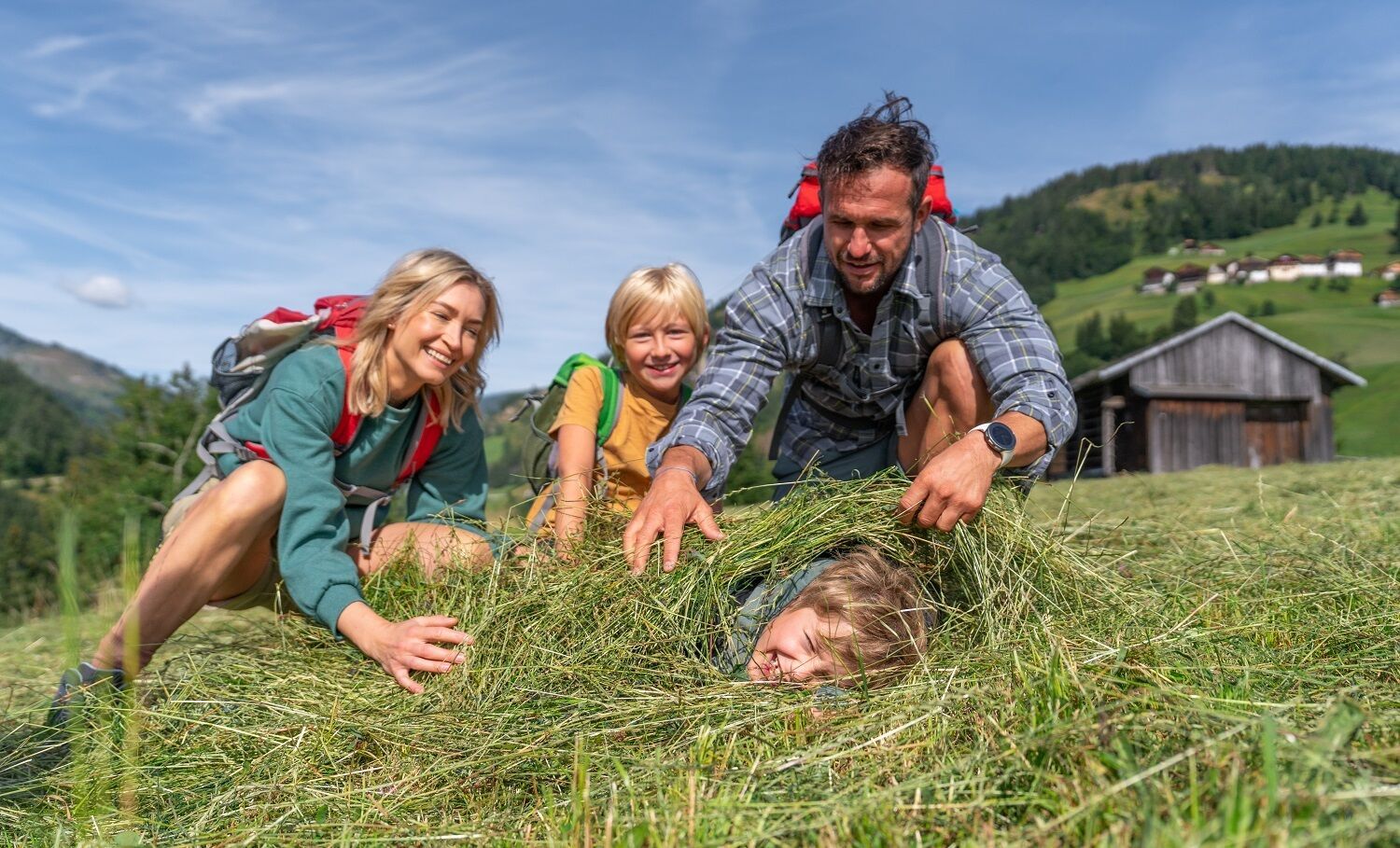
A special possibility of immersing oneself even deeper in the accomplished togetherness of people and nature is offered by “farm experiences” at local farmsAnker along the trail. At specific times, visitors are invited to take part in the clever and sustainable farming in harmony with nature, which has been the basis of cultivation in the Tyrolean Gail and Lesach Valley for generations, and to get to know old valley knowledge.
Farm experiences: please ask for information at the Obertilliach tourist information office or the official HöfeTrail booking centre about when you can join and to book your farm experience! The farm experiences are only possible upon prior registration and on the specified dates.
Mit dem Auto bis nach Hollbruck oder nach Sillian
Parkplatz in Hollbruck neben der Kirche
Parkpaltz in Sillian neben dem Elektrogeschäft Aichner


