Mountain hikes The Tyrolean section of The Way of St. James through Innsbruck
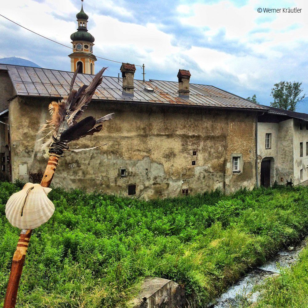
Terfens / Karwendel
Difficulty ratings: easy
Route length: 81.4 km
Duration: 21:00 h

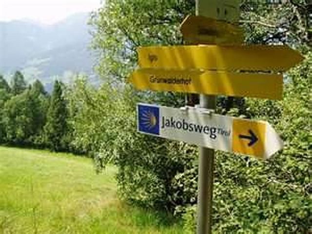
The Tyrolean section of The Way of St. James through Innsbruck
Tour information

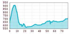
  • Requirement: easy
  • Length: 81.4 km
  • Duration: 21:00 h
  • Elevation uphill:900 hm
  • Elevation downhill:0 hm

Starting point

Terfens

Finishing point

Roppen
Source: Innsbruck Tourismus

Description

Three of the sections along the main route of The Way of St. James pass through the Innsbruck holiday region.

From Terfens to Innsbruck:
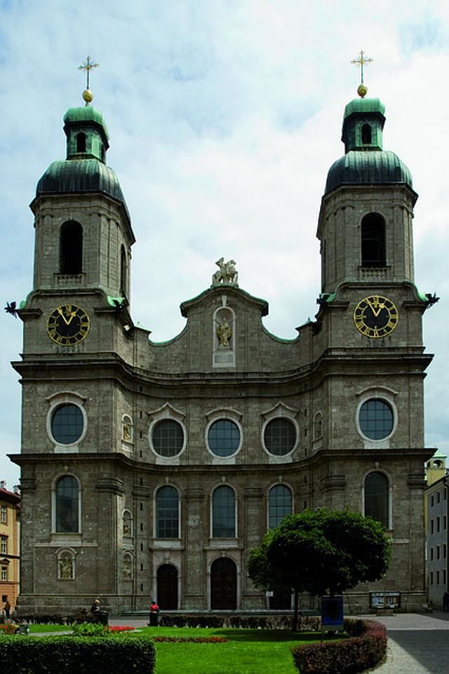
This stage is 24.2 kilometres long and is possible in 6 hours and 15 minutes. The Way of St. James leads from the medieval town of Hall in Tirol via the villages of Absam and Thaur, through the market town of Rum and on to the city of Innsbruck. Once in Innsbruck, the route continues to St. James' Cathedral. 

From Innsbruck to Pfaffenhofen:
This stage is 32.8 km long and can be accomplished in 8 hours and 30 minutes. The route leads west out of Innsbruck along the southern bank of the River Inn. At Innsbruck Airport – past Kranebitten. Cross the river and follow the southern slopes of the Inn Valley. The destination of Pfaffenhofen at the end this stage is small and easy to navigate. It is worth taking a look at the town of Telfs, which is located directly on the other side of the River Inn. 

From Pfaffenhofen to Roppen:
This stage is 24.4 kilometres long. The time required to cover this section is 6 hours and 15 minutes. Leave Pfaffenhofen to the west and pass through the village of Rietz. The next village along the route is Stams, which is home to the impressive Stams Abbey. Cross the River Inn at Haiming and hike along the northern bank to the final destination of this stage, Roppen. 

Weather

Today

mainly clear
23°C/8°C
0%0l5 km/h

Sun

partly Cloudy
24°C/9°C
80%4.6l5 km/h

Mon

light rain showers
24°C/13°C
65%2.1l5 km/h
Go to weather forecast

More long-distance hiking trails

  • Karwendel High Trail

    Difficulty:difficult
    Length:70.0 kmDuration:27:30 hElevation uphill:4,470 m
  • KAT WALK FAMILY

    Difficulty:medium
    Length:52.5 kmElevation uphill:3,390 m
  • KAT WALK COMPACT

    Difficulty:medium
    Length:83.0 kmDuration:36:45 hElevation uphill:5,462 m
  • 4 days - 4 summits tour

    Difficulty:medium
    Length:54.4 kmDuration:23:00 hElevation uphill:3,408 m
  • Karwendel tour

    Difficulty:difficult
    Length:44.2 kmDuration:24:00 hElevation uphill:3,955 m
  • Lechweg

    Difficulty:medium
    Length:125.0 kmDuration:40:00 hElevation uphill:3,021 m
  • Talweg Matrei i. O.

    Difficulty:medium
    Length:15.3 kmDuration:4:50 hElevation uphill:397 m
  • 3-day hut tour Wilder Kaiser

    Difficulty:difficult
    Length:24.6 kmDuration:14:00 hElevation uphill:2,060 m
  • Lechtaler Höhenweg

    Difficulty:difficult
    Length:84.5 kmDuration:45:00 hElevation uphill:6,773 m
  • Eagle Walk Tirol

    Difficulty:difficult
    Length:426.0 kmElevation uphill:30,000 m
  • Koasa Trail

    Difficulty:medium
    Length:83.0 kmElevation uphill:4,700 m
  • Arlberg Trail

    Difficulty:difficult
    Length:52.1 kmElevation uphill:4,730 m
  • Schober trek

    Difficulty:medium
    Length:32.9 kmDuration:30:00 hElevation uphill:3,262 m
  • Der Große Törlweg

    Difficulty:medium
    Length:29.5 kmDuration:22:30 hElevation uphill:3,558 m
  • Two day tour - Höhenweg Zahmer Kaiser

    Opening hours:open
    Difficulty:medium
    Length:30.0 kmDuration:13:15 hElevation uphill:2,100 m
Newsletter

The mountain is calling? So does our newsletter!

In our monthly newsletter we reveal the best holiday tips for Tyrol.