
Of course, there are four beautiful peaks along the way for a reason - they want to be conquered! And you have four days to do it. A mountain adventure in a class of its own for fit hikers!
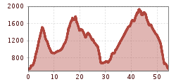
You should take your time to explore the varied nature of the Brandenberg Alps and the Rofan mountains. For fit summiteers, the moderately difficult "4 Days 4 Summits Tour" offers just the right mix of challenging mountain adventures and a relaxed experience of nature. With a length of almost 55 kilometers and 3,400 meters of ascent and descent, it is one of the most challenging multi-day hikes in Tyrol. But also one of the most beautiful!
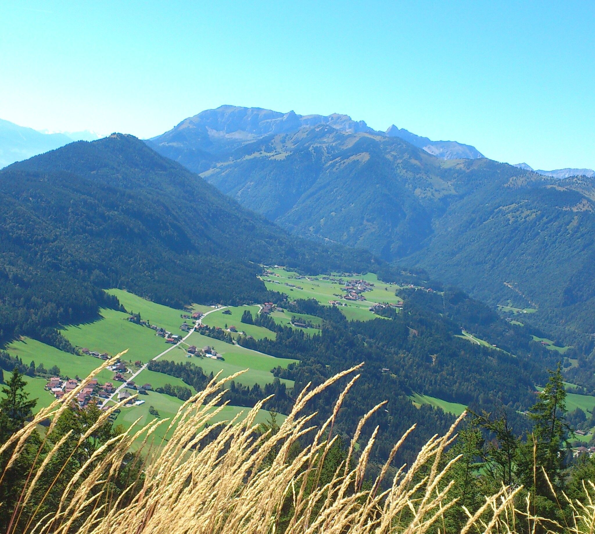
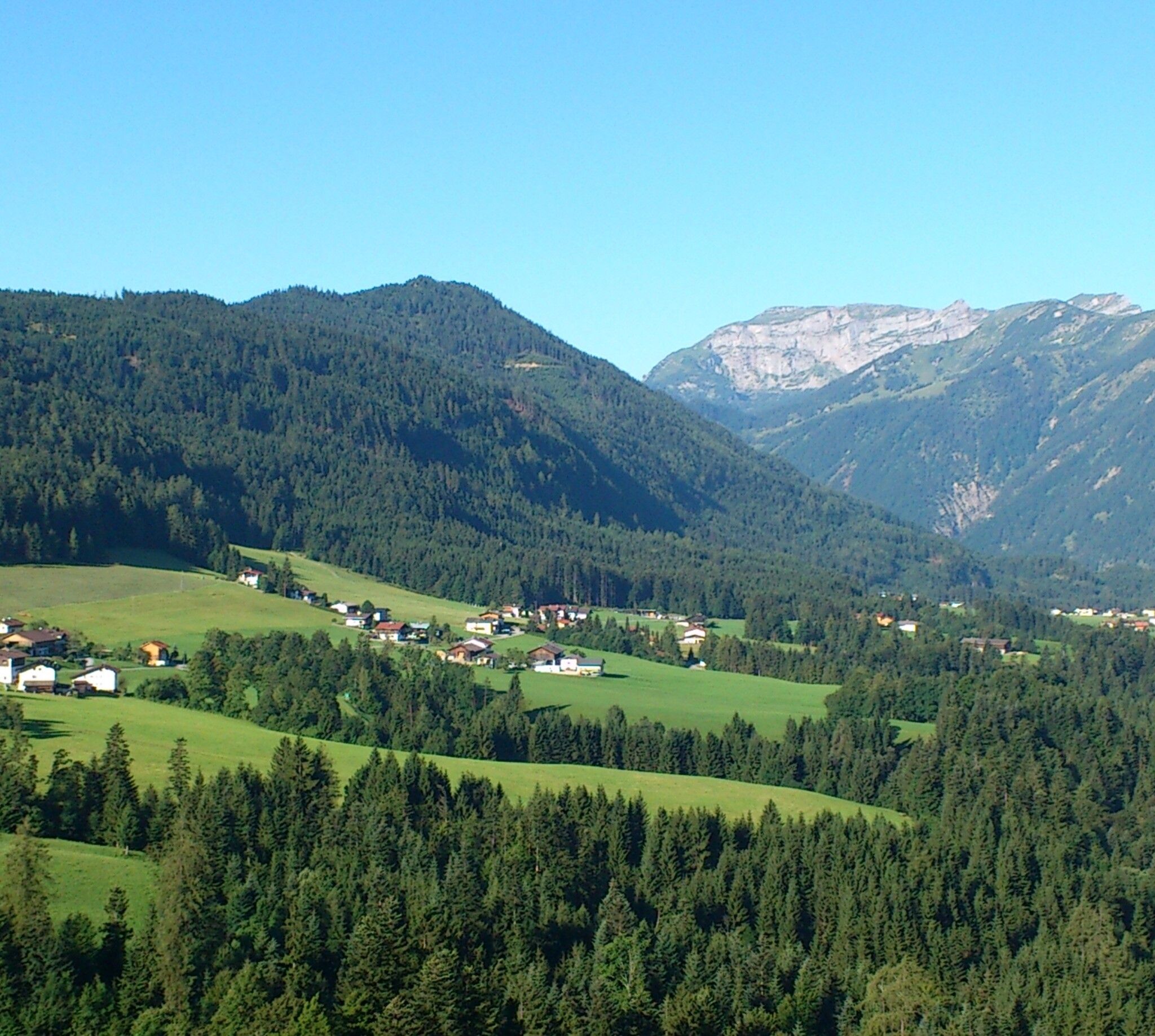
Except for the descent from Heuberg to Plessenberg, there are no exposed sections.
Surefootedness is still required!
Sturdy footwear, weatherproof clothing, change of clothes, comfortable casual wear for the evening, toiletries, important phone numbers, emergency medications, mobile phone, charger
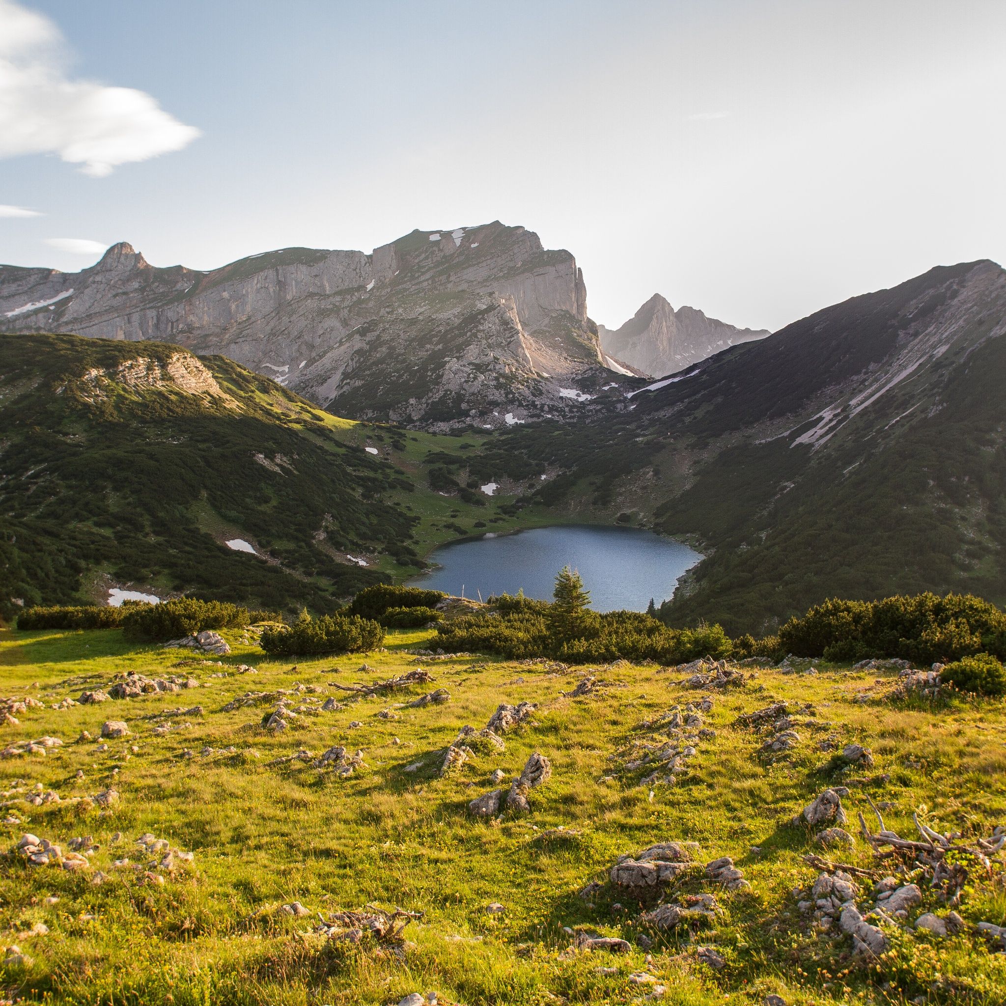
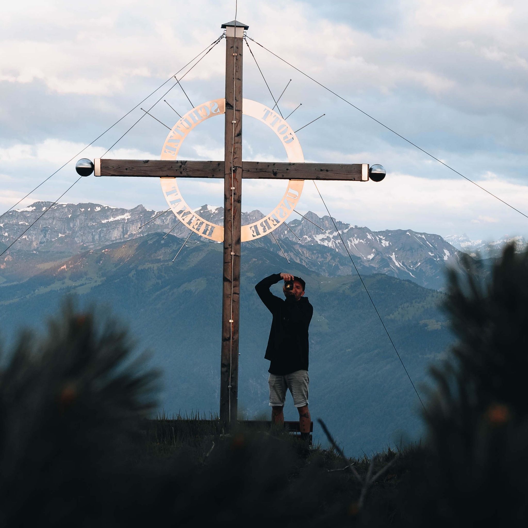
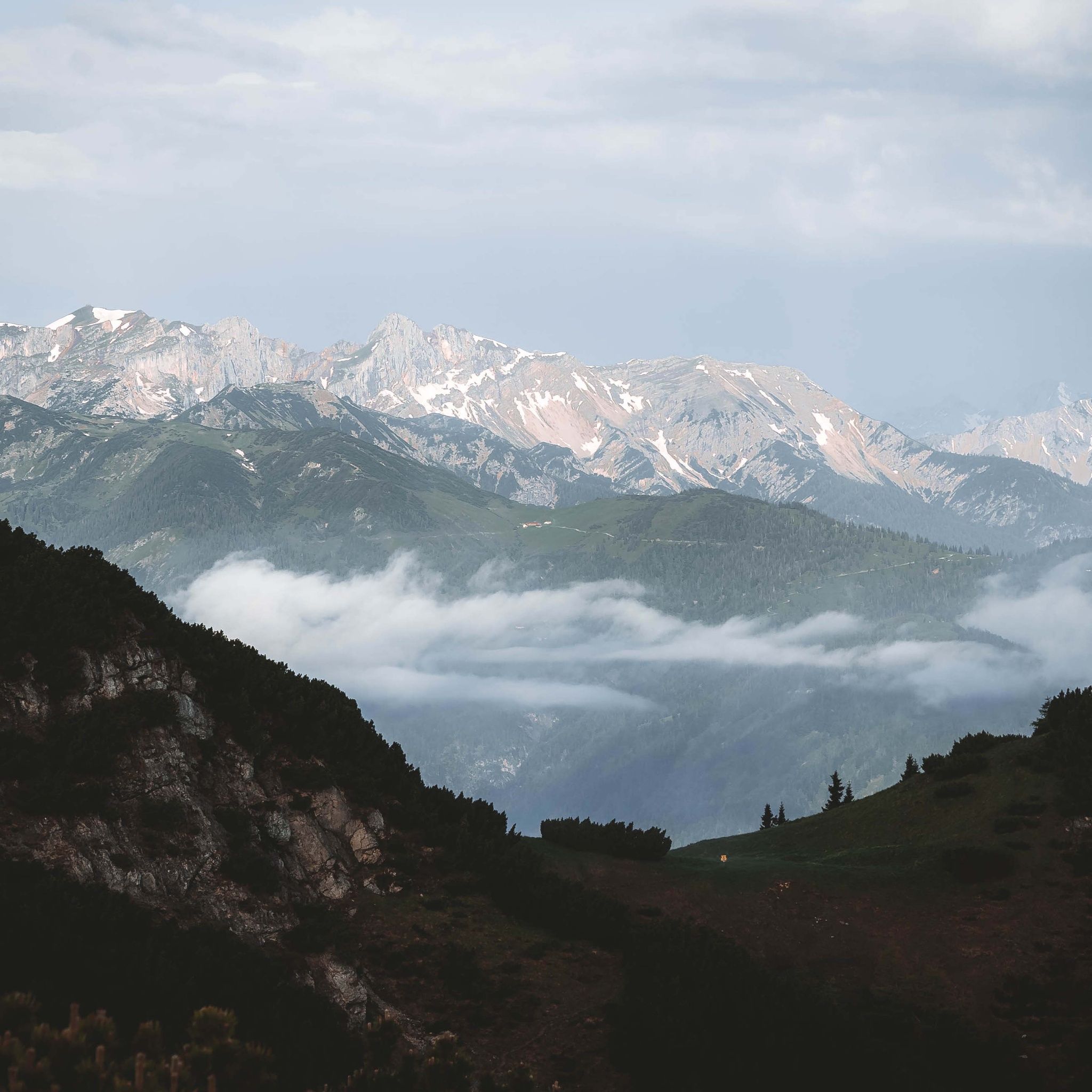
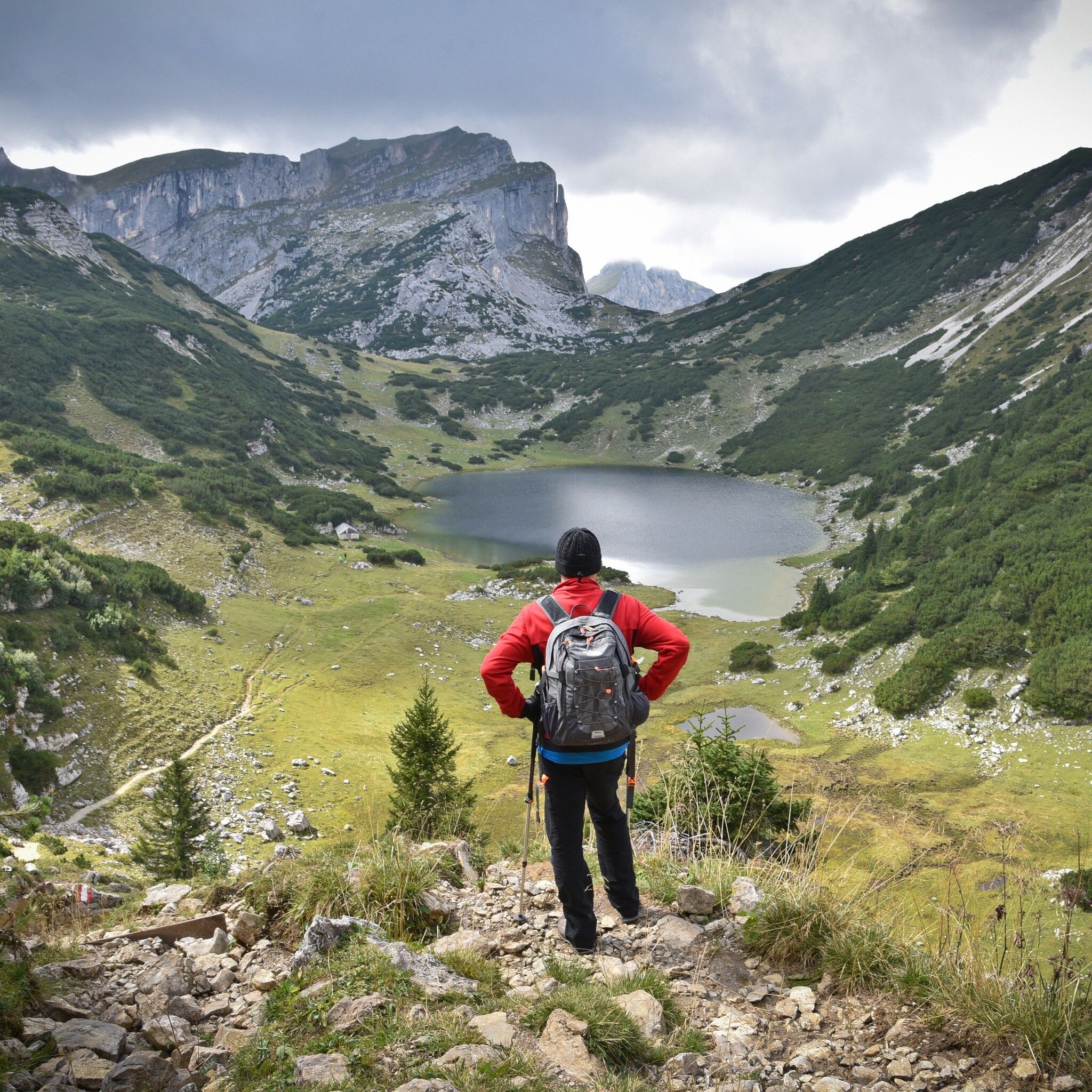
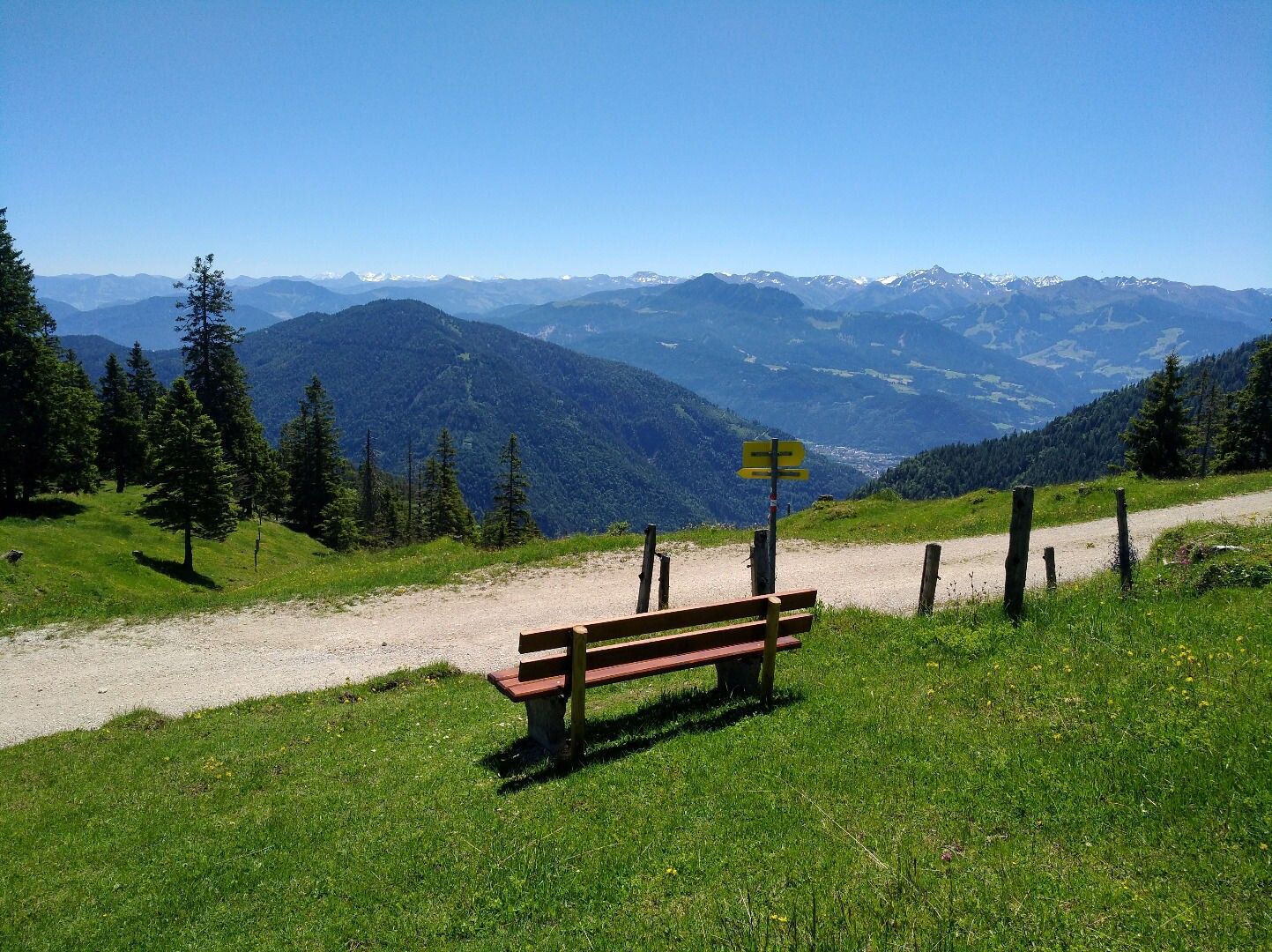
Dive into unforgettable adventures and experience breathtaking views from the summits of Voldöpper Spitze, Kienberg, and more. From picturesque paths to majestic mountain lakes, this route offers everything a hiking heart desires. Enjoy the challenge, nature, and community during this unforgettable 4-day hike. On our '4 days - 4 summits route' you experience the magic of the mountains up close!
Day 1 from Kramsach via Voldöppberg to Brandenberg --> approx. 5 - 6 h
Your multi-day hike starts with an exciting ascent to Voldöpper Spitze, followed by a scenic descent into the village center of Brandenberg. Enjoy the beautiful nature and splendid views during this 5-6 hour hike.
Day 2 from Brandenberg via Jocheralm to Heuberg, then to Kienberg and descent to Pinegg --> 6 - 7 h
The second day leads you from Brandenberg via Jocheralm to the imposing Kienberg and then down to Pinegg. Experience a day full of adventure and breathtaking views during this 6-7 hour hike.
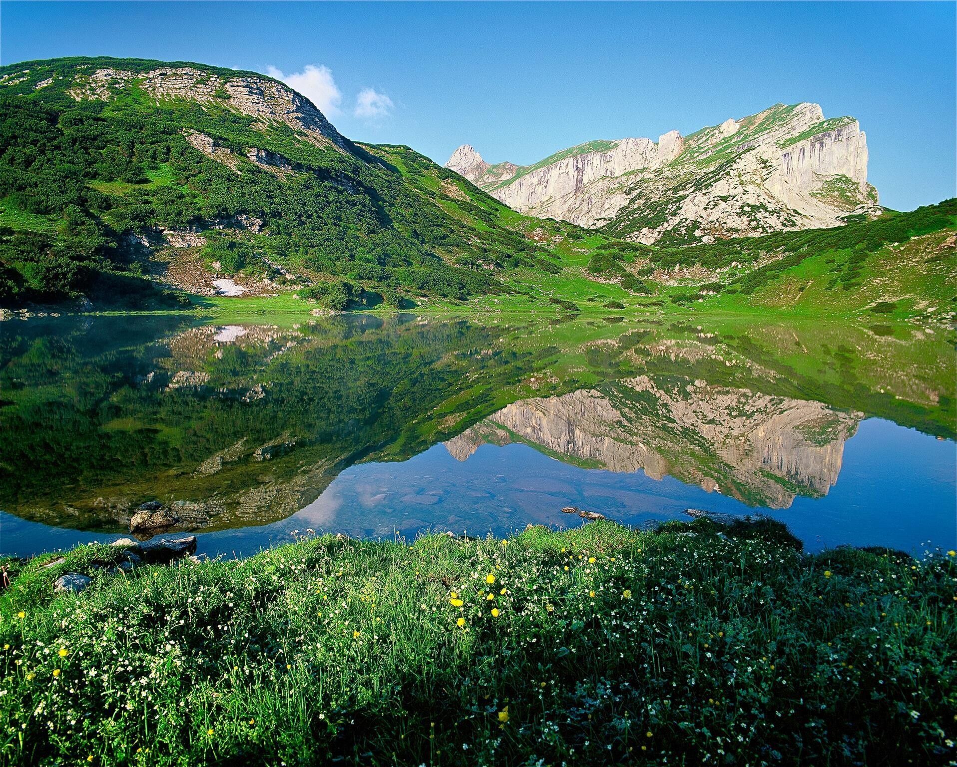
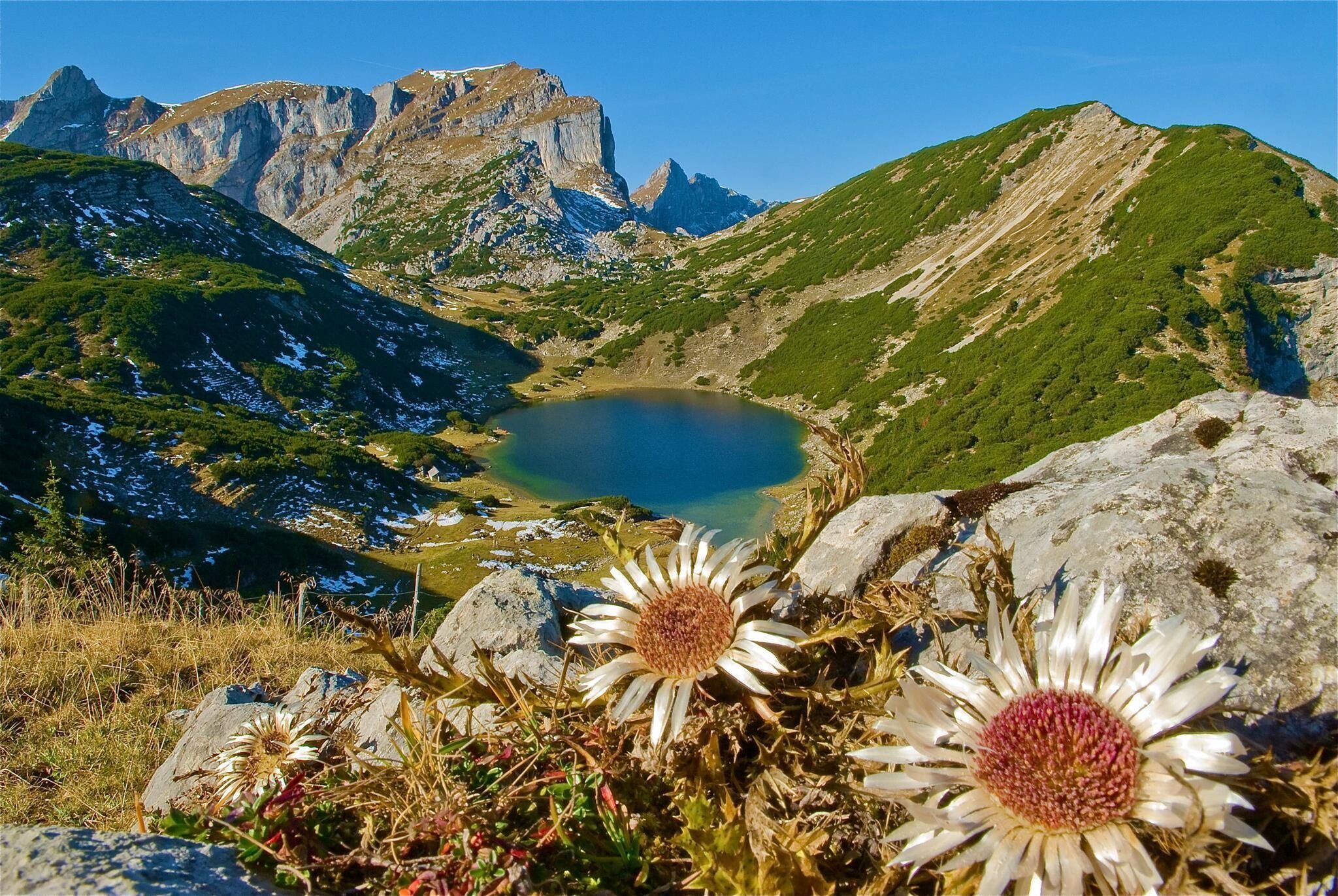
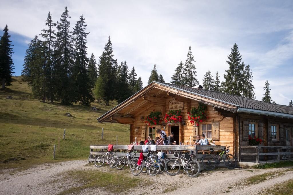
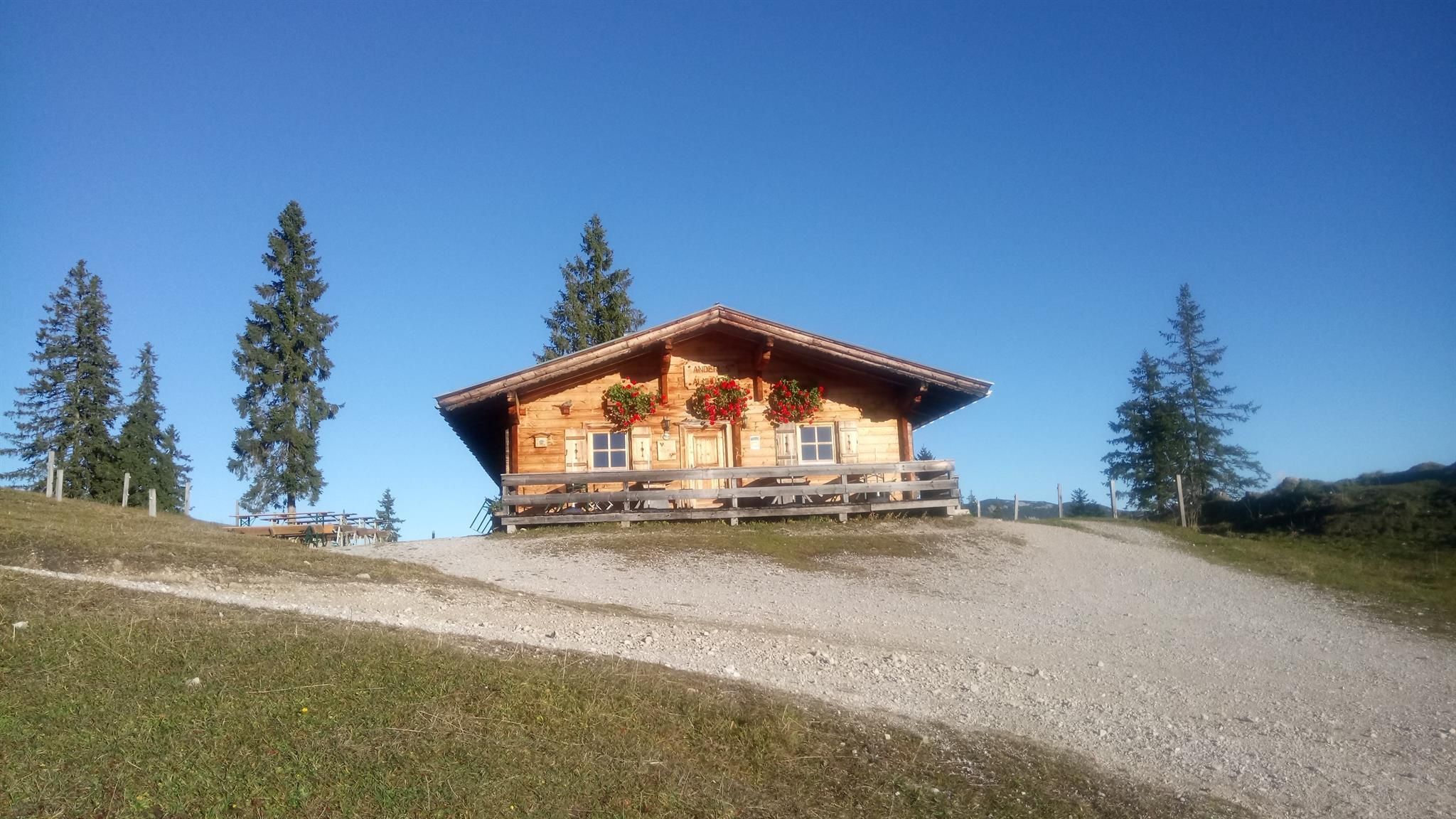
Day 3 from Pinegg via Aschau, Anderl's Hut to Zireiner Lake, to Roßkogel and Bayreuth Hut --> approx. 7 - 8 h
On the third day, picturesque paths and breathtaking landscapes await you on the way to Zireiner Lake and Bayreuth Hut. Enjoy the unforgettable destinations during this approx. 7-8 hour hike.
Day 4 from Bayreuth Hut - descent into the valley to the starting point --> approx. 2 h
The last day of your hike has arrived. After all the adventures of the past days, a relaxed descent into the valley is on the agenda today. Enjoy the last hours in the mountains during this approximately 2-hour descent.
A12, Kramsach motorway exit, direction Kramsach, direction Sonnwendjoch cable car
former Sonnwendjoch cable car Kramsach


