Multi-day hikes Trail Virgentaler Sonnseitenweg

Matrei in Osttirol / Venediger Group
Difficulty ratings: medium
Route length: 41.9 km
Duration: 19:00 h

One of the most beautiful hikes in several stages through the Virgen Valley.

Tour information

  • Requirement: medium
  • Length: 41.9 km
  • Duration: 19:00 h
  • Elevation uphill:2,641 hm
  • Elevation downhill:2,138 hm
Highest point2,120 m

Starting point

Matrei in Osttirol

Finishing point

Prägraten am Großvenediger
  • Fitness level 4 / 6
  • Technique 4 / 6

Features

  • Suitable for families
  • Multi-day hike

Best time of year

  • January
  • February
  • March
  • April
  • May
  • June
  • July
  • August
  • September
  • October
  • November
  • December

Trail condition

Tarmac, gravel, hiking trail
Source: TVB Osttirol

Description

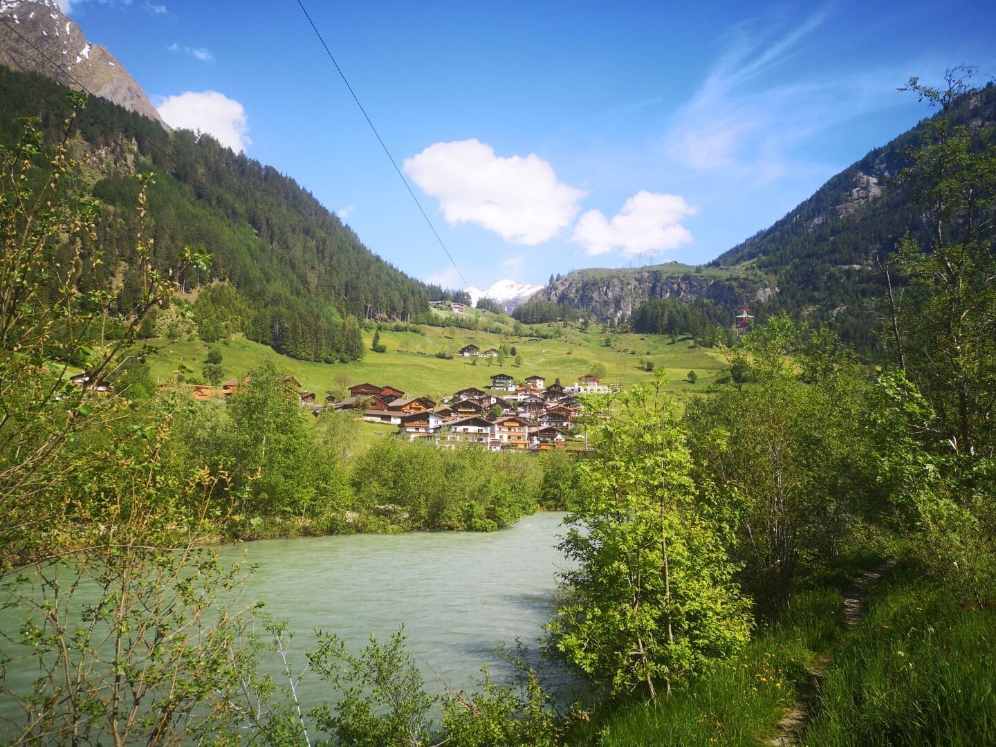
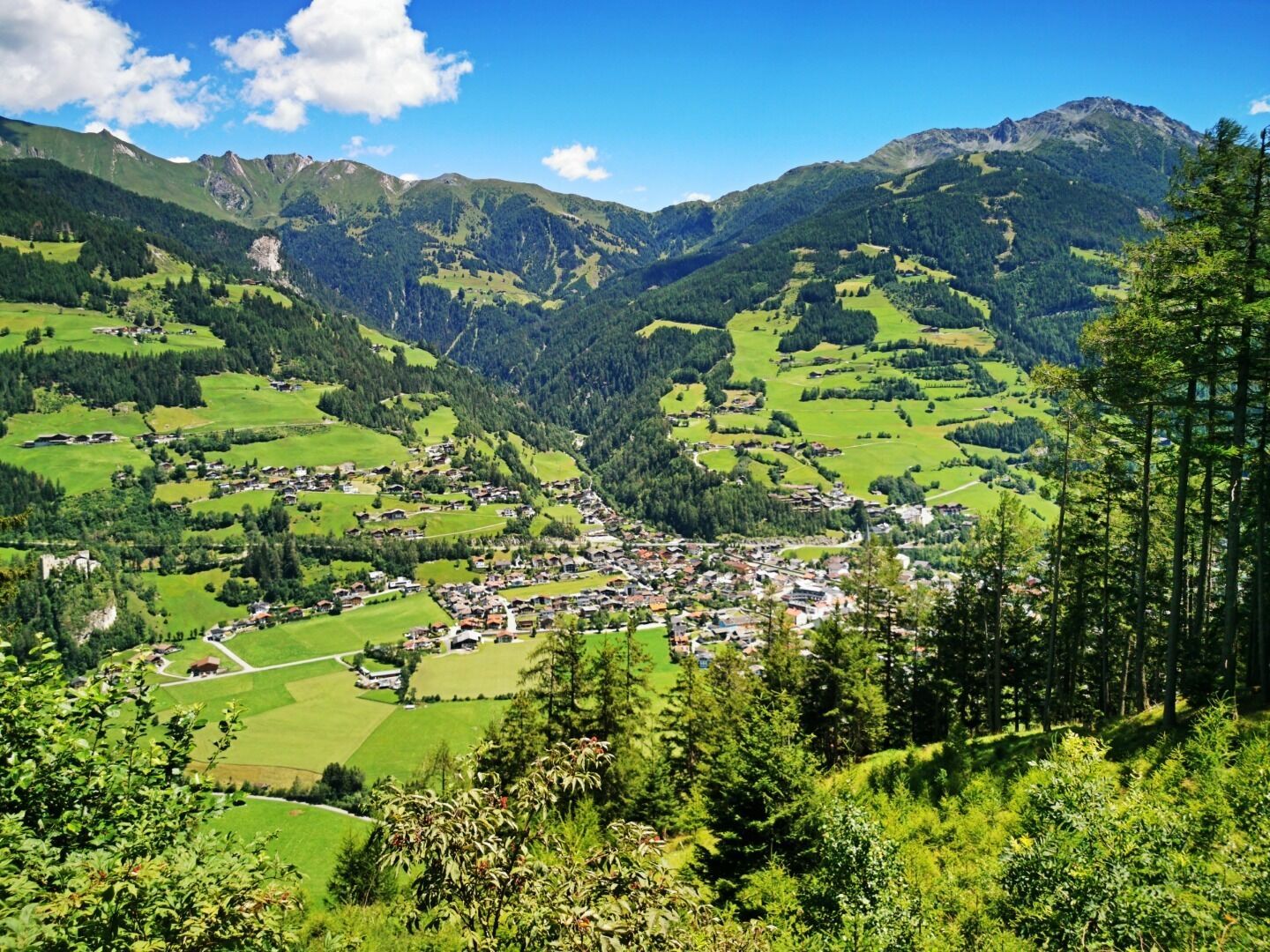
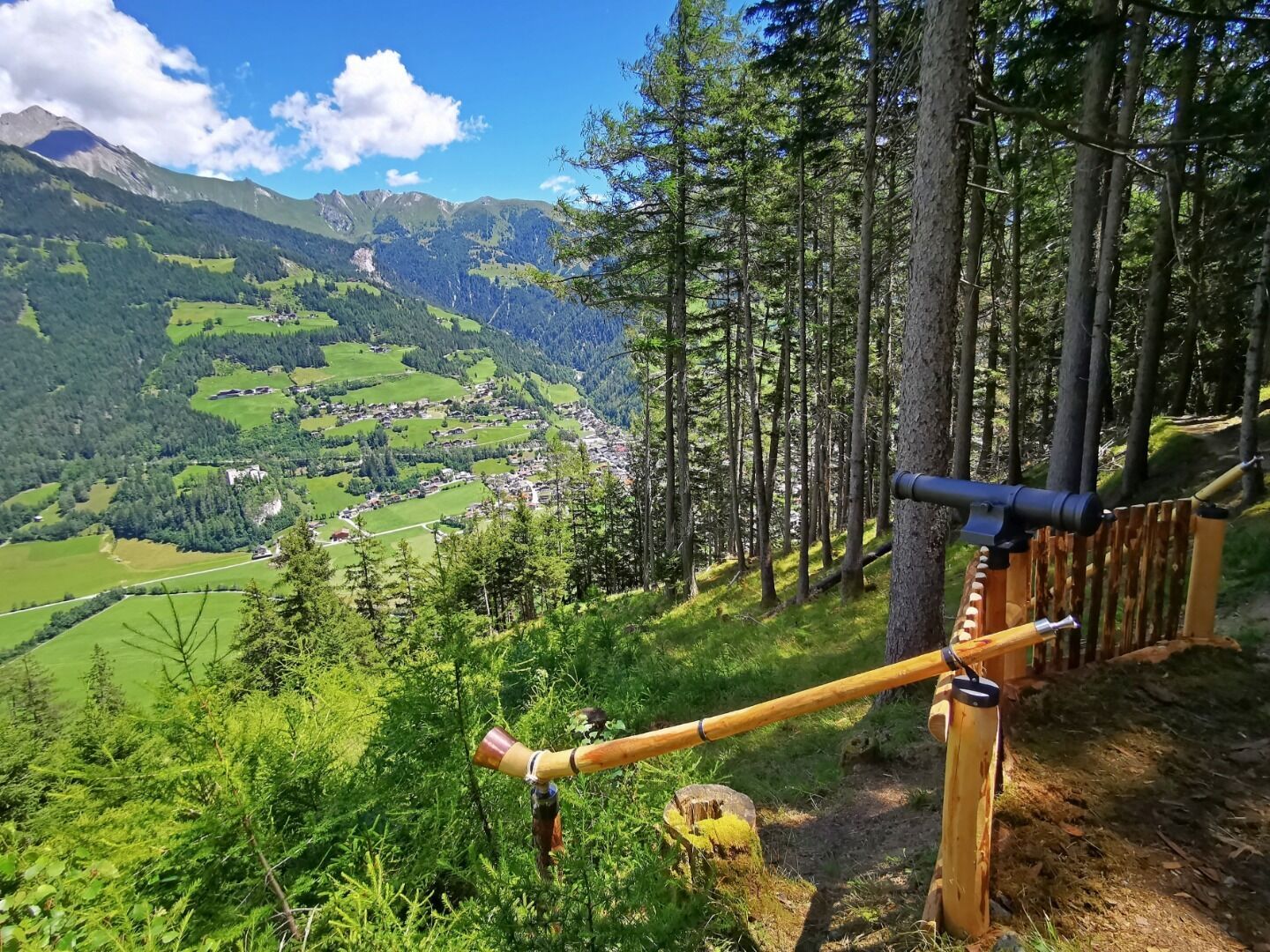
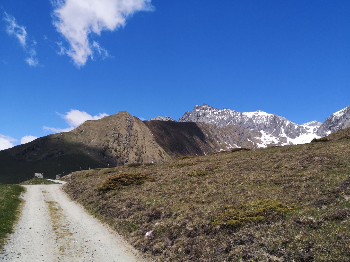
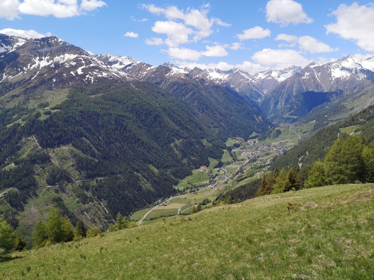
The Virgentaler Sonnseitenweg trail leads from Matrei in Osttirol via Virgen to Prägraten am Großvenediger and connects a number of rustic huts and mountain pastures. As the name suggests, the trail is perfect for sun lovers. There is hardly another long-distance hiking trail that can guarantee you as much sunshine as this one. The famous Umbal Falls are the crowning destination of the long-distance hiking trail, which leads from Matrei i.O. to this natural monument created by water in four days in the middle of the National Park Hohe Tauern. The Virgentaler Sonnseitenweg is particularly suitable for families who want to try a long-distance hike for the first time.

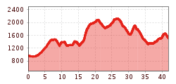
Further information on the stages incl. detailed route description is available here!

Nearby huts and mountain restaurants

More long-distance hiking trails

  • Iseltrail

    Difficulty:medium
    Length:75.3 kmDuration:24:30 hElevation uphill:2,347 m
  • EUREGIO Marien-Weg-M7

    Difficulty:easy
    Length:50.8 kmDuration:15:20 hElevation uphill:984 m
  • Glockner Crown

    Difficulty:medium
    Length:64.2 kmDuration:31:00 hElevation uphill:4,104 m
  • Lasörling trek

    Difficulty:medium
    Length:32.5 kmDuration:15:00 hElevation uphill:2,562 m
  • Schober trek

    Difficulty:medium
    Length:32.9 kmDuration:30:00 hElevation uphill:3,262 m
  • Der Große Törlweg

    Difficulty:medium
    Length:29.5 kmDuration:22:30 hElevation uphill:3,558 m
  • Lasörling altitude trail

    Difficulty:medium
    Length:55.4 kmDuration:25:00 hElevation uphill:3,718 m
  • Venediger altitude trail

    Difficulty:difficult
    Length:55.5 kmDuration:27:00 hElevation uphill:3,975 m
  • Karwendelmarsch 52 km

    Difficulty:medium
    Length:53.5 kmDuration:19:00 hElevation uphill:2,180 m
  • Großglockner trek

    Difficulty:difficult
    Length:86.1 kmElevation uphill:7,209 m
  • Gschnitztaler Hüttenstern

    Difficulty:medium
    Length:10.8 kmDuration:4:14 hElevation uphill:538 m
  • Lechtaler Höhenweg

    Difficulty:difficult
    Length:84.5 kmDuration:45:00 hElevation uphill:6,773 m
  • Arlberg Trail

    Difficulty:difficult
    Length:52.1 kmElevation uphill:4,730 m
  • 3-day Family Tour Alpbachtal

    Difficulty:easy
    Length:18.3 kmDuration:7:00 hElevation uphill:998 m
  • 4 days - 4 summits tour

    Difficulty:medium
    Length:54.4 kmDuration:23:00 hElevation uphill:3,408 m
  • 3-day hut tour Wilder Kaiser

    Difficulty:difficult
    Length:24.6 kmDuration:14:00 hElevation uphill:2,060 m
Newsletter

The mountain is calling? So does our newsletter!

In our monthly newsletter we reveal the best holiday tips for Tyrol.