Long-distance hike Kaunergrat Circular Route - 5 Days

St. Leonhard im Pitztal / Ötztal Alps
Difficulty ratings: difficult
Route length: 42.5 km
Duration: 5 days

Kaunergrat Circular Route - 5 Days

Tour information

  • Requirement: difficult
  • Length: 42.5 km
  • Duration: 5 days
  • Elevation uphill:3,804 hm
  • Elevation downhill:3,776 hm
Highest point3,037 m

Starting point

Scheibe

Finishing point

Scheibe

Features

  • Circular route
  • Multi-day hike

Best time of year

  • January
  • February
  • March
  • April
  • May
  • June
  • July
  • August
  • September
  • October
  • November
  • December

Trail condition

Alpine paths, high alpine trails
Source: TVB Pitztal

Description

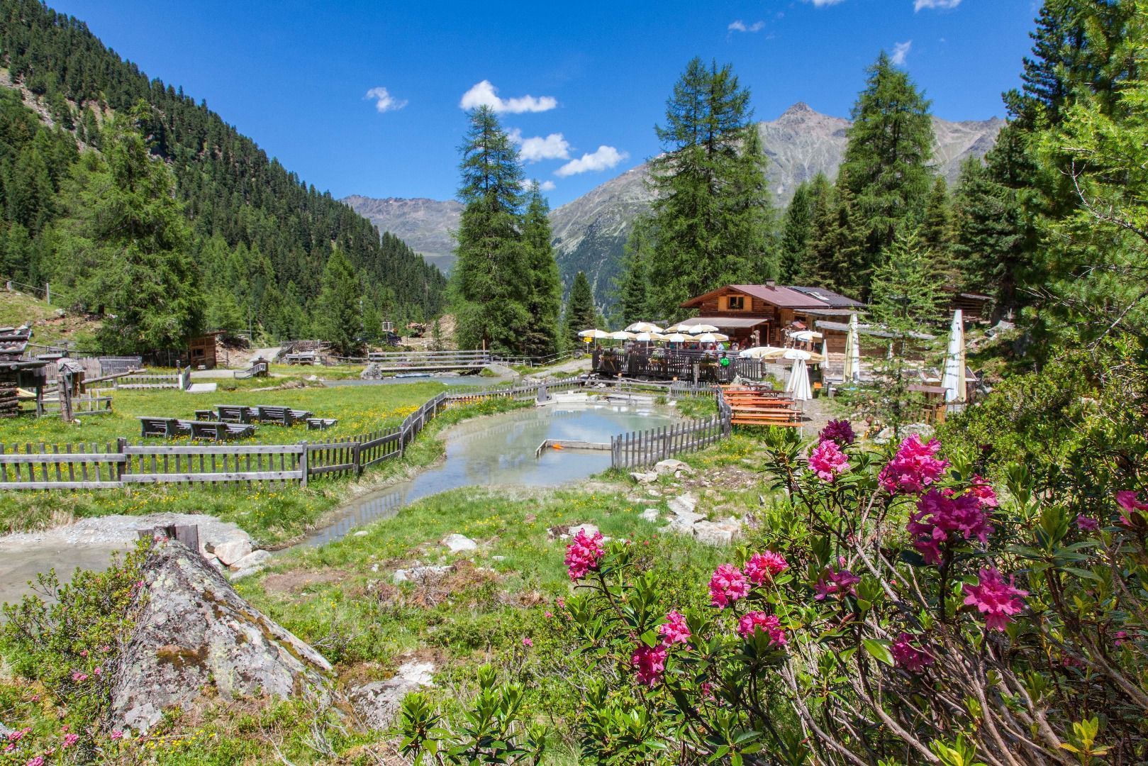
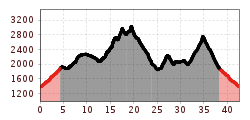
Day 1: St. Leonhard/Scheibe - Tiefentalalm
Ascent from the hamlet of Scheibe to the Tiefentalalm with overnight stay. Approx. 1.5 hours

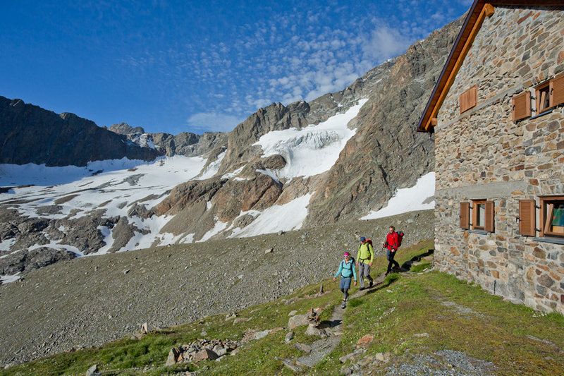
Day 2: Tiefentalalm - Arzler Alm - Mittelberglesee - Kaunergrathütte
After the Arzler Alm, the trail becomes more alpine and has some exposed sections. In some passages there are rope protections. Surefootedness is a prerequisite. Approx. 7.5 hours walking time

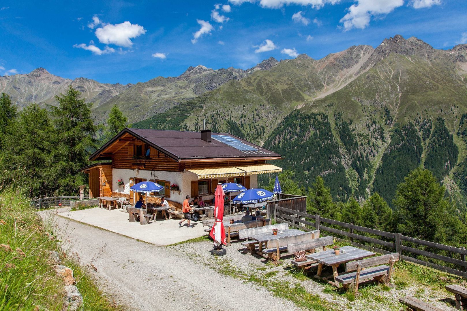
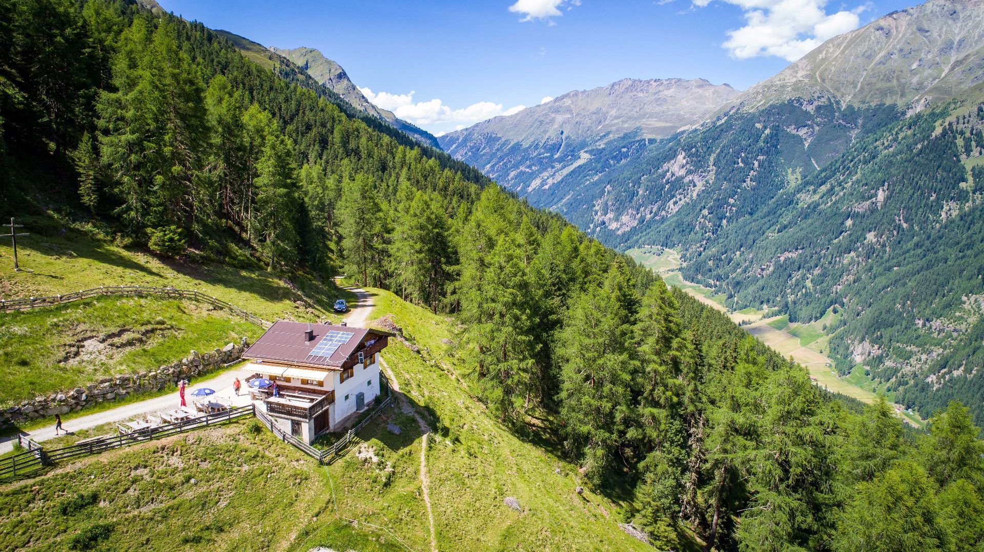
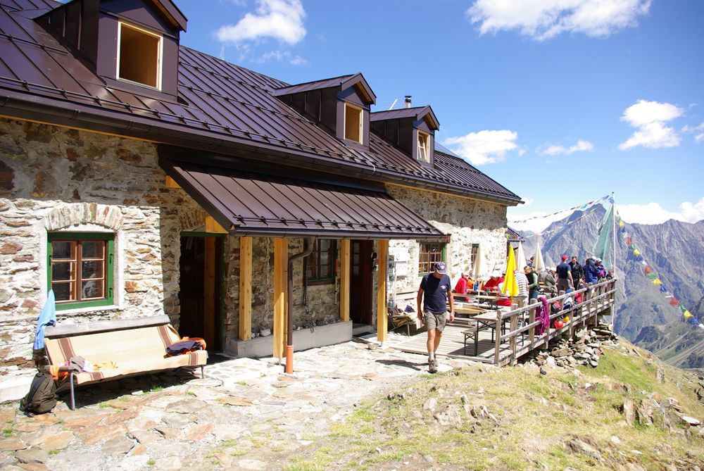
Day 3: Kaunergrathütte - Madatschjoch - Verpeilhütte
There are ladders, steps and rope insurance on the Madatschjoch. The descent to the Verpeilhütte is easy. Approx. 4.5 hours walking time

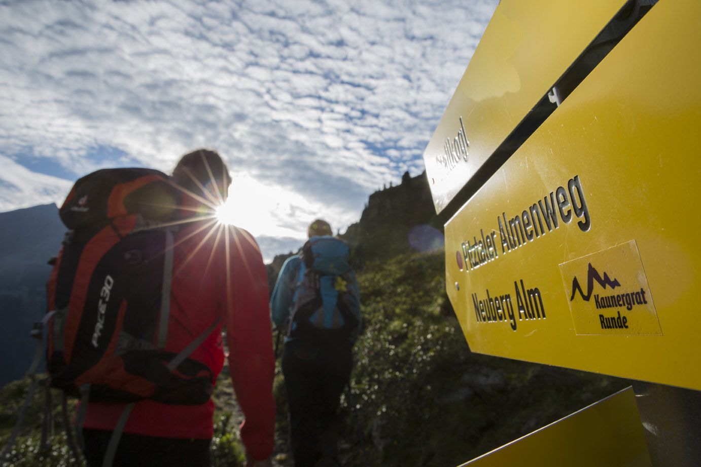
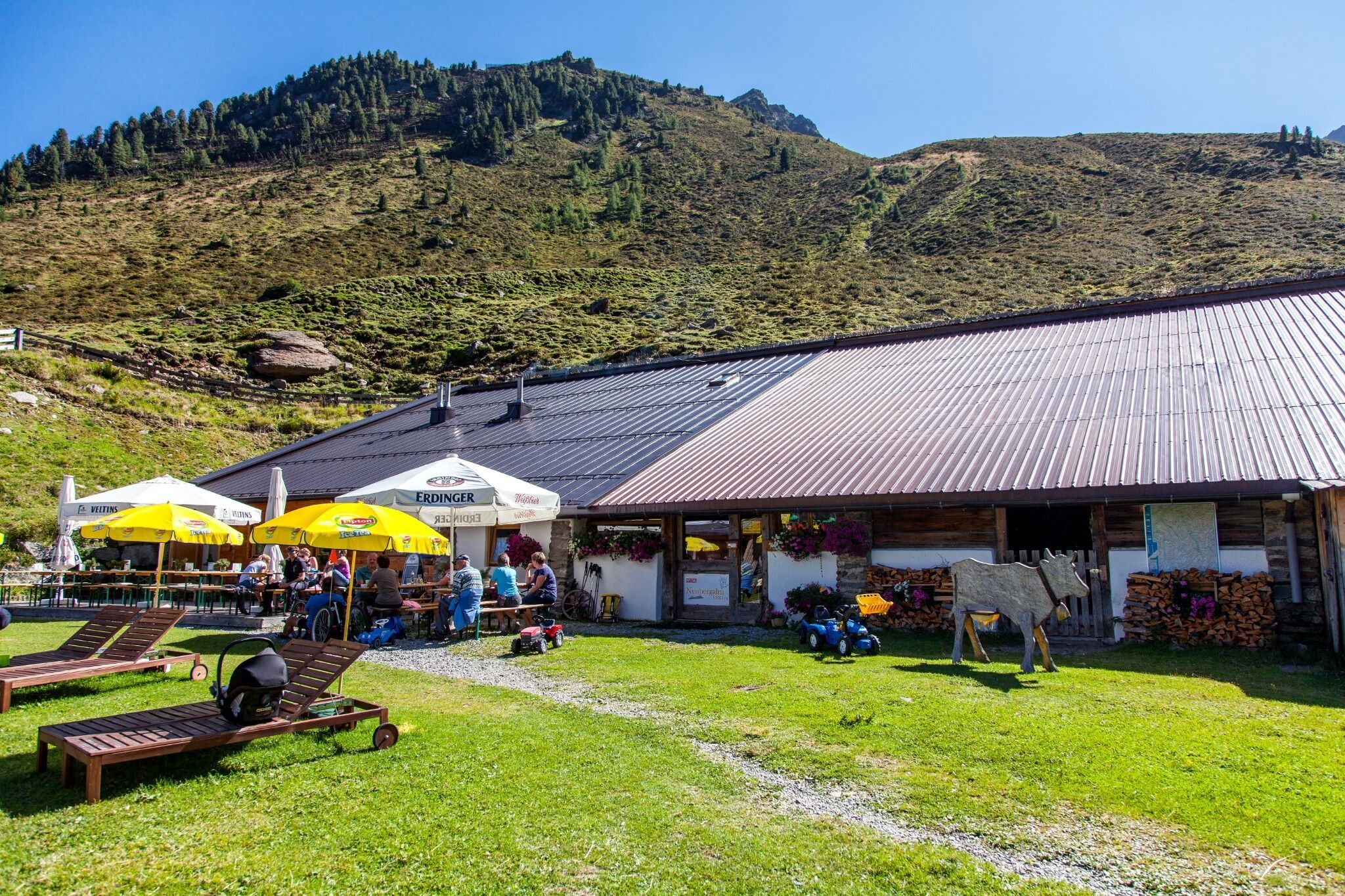
Day 4: Verpeilhütte - Gallruthalm - Wallfahrtsjöchl - Tiefentalalm or Neubergalm

Via the Dr Angerer Steig, which is partly secured and exposed in some places, to the Gallruthalm. And from there via the Wallfahrtsjöchl to the Tiefentalalm or Neubergalm. Surefootedness is a prerequisite. Approx. 8 hours

Day 5: Tiefentalalm or Neubergalm Descent into the valley and return journey
Approx. 1 - 1.5 hours

Nearby huts and mountain restaurants

Getting here

  • Arrival by public transport

    Take the bus till the bus stop Scheibe.

More long-distance hiking trails

  • Lechtaler Höhenweg

    Difficulty:difficult
    Length:84.5 kmDuration:11 daysElevation uphill:6,773 m
  • Koasa Trail

    Difficulty:medium
    Length:83.0 kmDuration:5 daysElevation uphill:4,700 m
  • KAT WALK FAMILY

    Difficulty:medium
    Length:52.5 kmDuration:4 daysElevation uphill:3,390 m
  • KAT WALK COMPACT

    Difficulty:medium
    Length:83.0 kmDuration:5 daysElevation uphill:5,462 m
  • Talweg Matrei i. O.

    Difficulty:medium
    Length:15.9 kmDuration:4:30 hElevation uphill:407 m
  • Eagle Walk Tirol

    Difficulty:difficult
    Length:426.0 kmDuration:33 daysElevation uphill:30,000 m
  • KAT WALK ALPINE

    Difficulty:medium
    Length:113.0 kmDuration:6 daysElevation uphill:6,300 m
  • Arlberg Trail

    Difficulty:difficult
    Length:52.1 kmElevation uphill:4,730 m
  • KAT Walk: Three Valleys Hike

    Difficulty:medium
    Length:69.0 kmDuration:30:00 hElevation uphill:3,684 m
  • EUREGIO-Maria-Weg-M5

    Difficulty:easy
    Length:166.6 kmDuration:46:16 hElevation uphill:2,971 m
  • EUREGIO Marien-Weg-M6

    Difficulty:easy
    Length:12.1 kmDuration:3:38 hElevation uphill:268 m
  • EUREGIO-Marien-Weg-M3

    Difficulty:easy
    Length:179.0 kmDuration:52:17 hElevation uphill:3,190 m
  • EUREGIO-Maria-Weg-M4

    Difficulty:easy
    Length:123.0 kmDuration:36:00 hElevation uphill:2,330 m
  • EUREGIO Mary Way-M1

    Difficulty:medium
    Length:84.1 kmDuration:25:01 hElevation uphill:2,238 m
  • Senn's WunderWanderWeg

    Difficulty:easy
    Length:1.0 kmDuration:0:30 hElevation uphill:81 m
  • Rofan tour

    Difficulty:medium
    Length:30.5 kmDuration:4 daysElevation uphill:1,450 m
Newsletter

The mountain is calling? So does our newsletter!

In our monthly newsletter we reveal the best holiday tips for Tyrol.