
Öffnungszeiten:Heute geöffnet
Ort:Prägraten am Grossvenediger
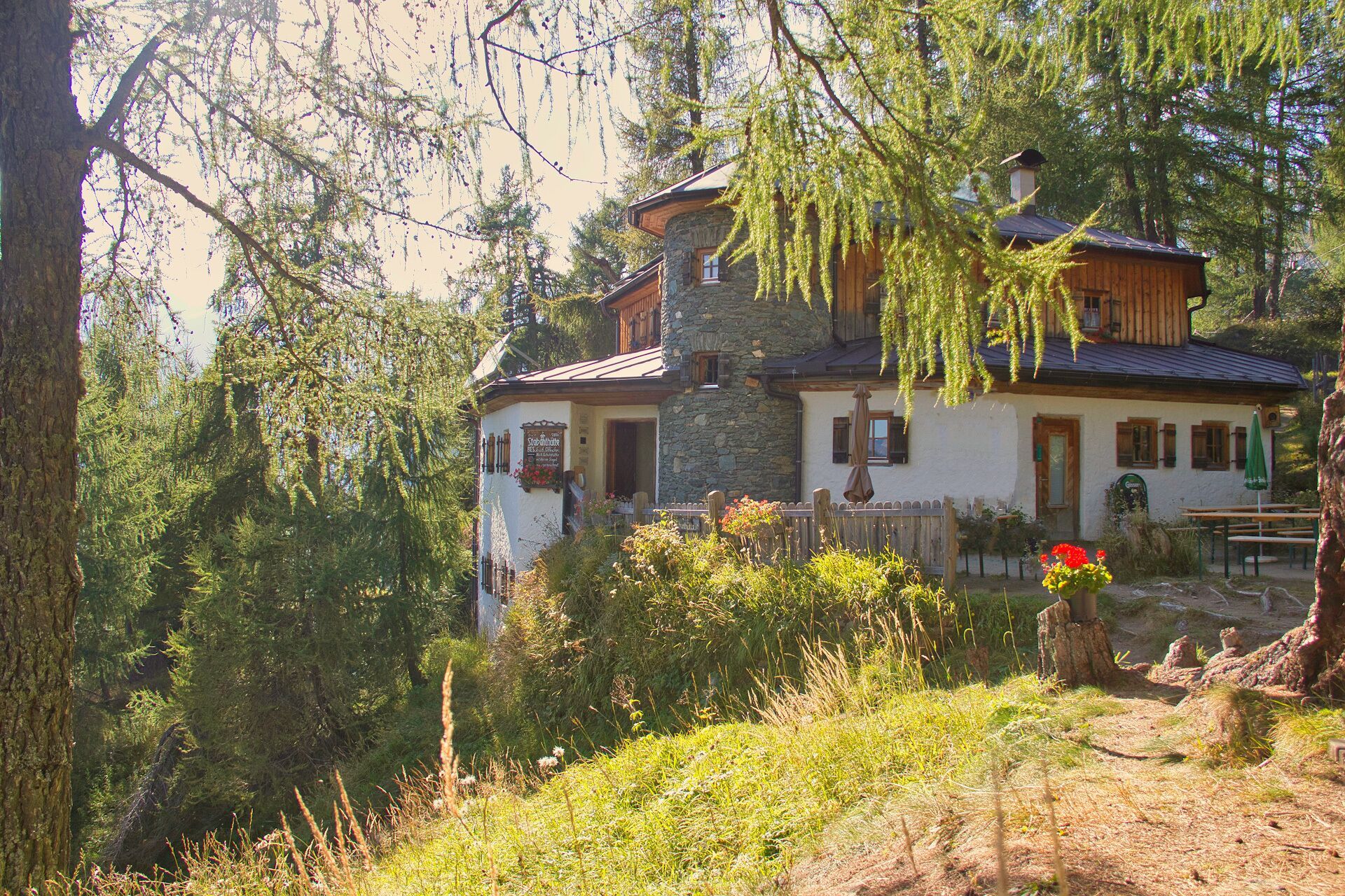
:Restaurant, Snack bar / StreetFood
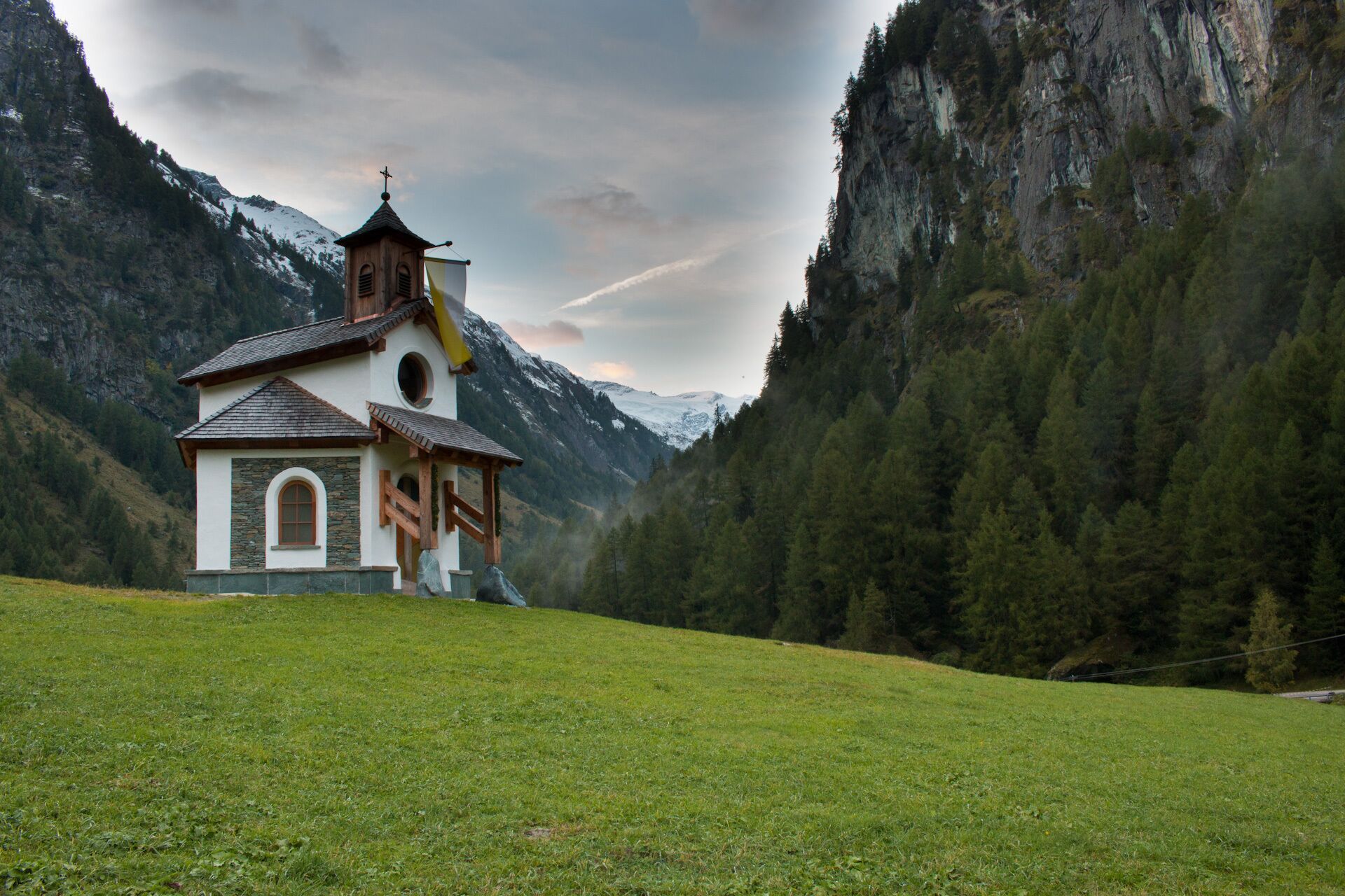
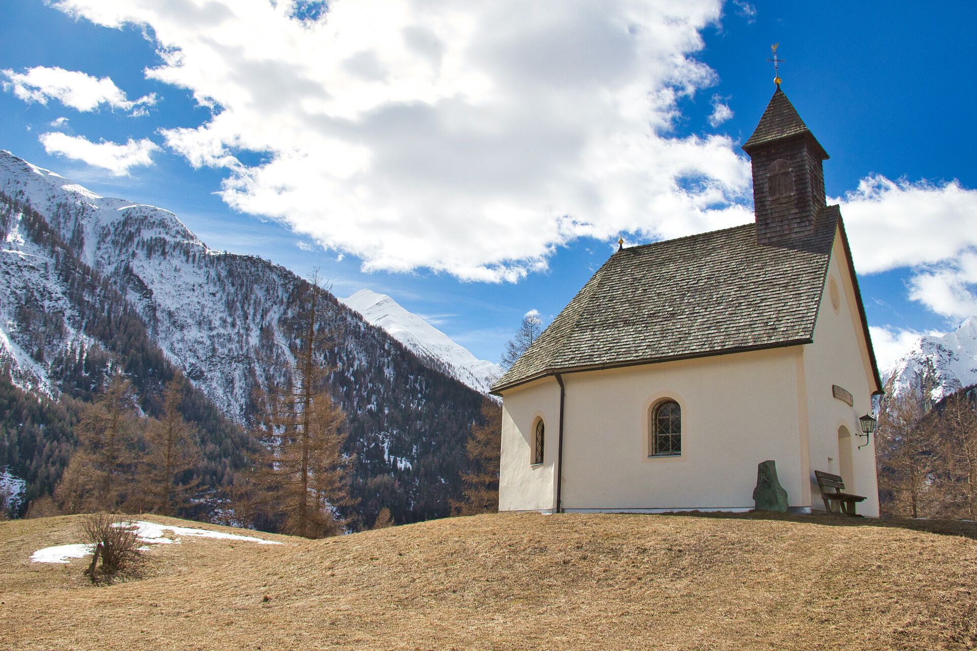
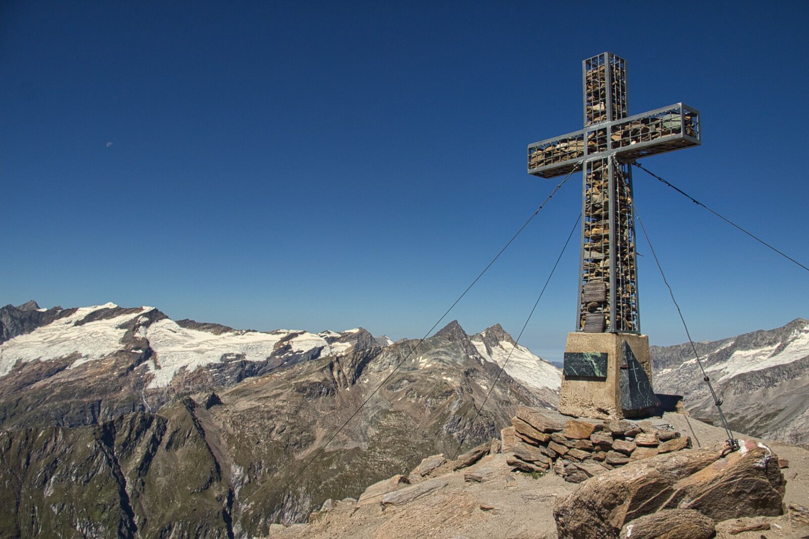
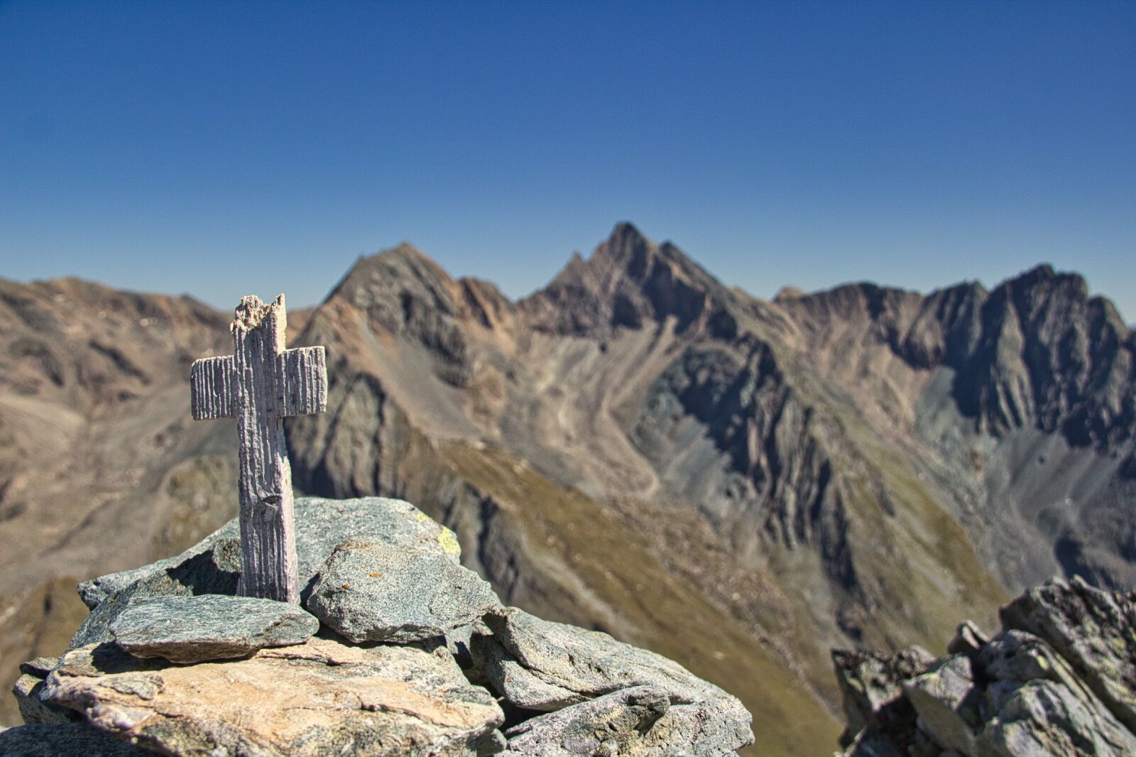
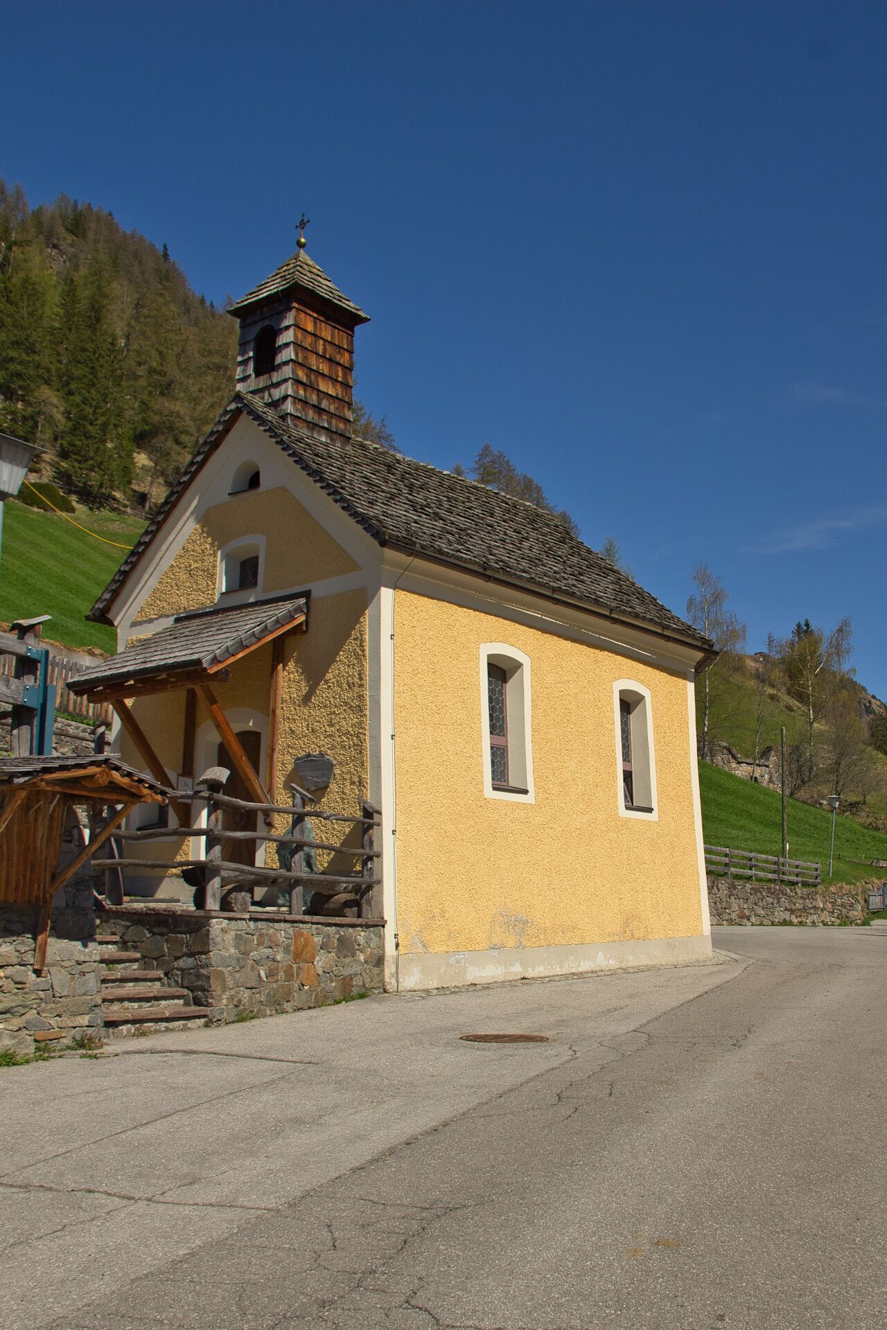
Enjoy the "Highest way of the cross in the alps" (high alpine pilgrim route) in Prägraten a.G.

Gravel, rock
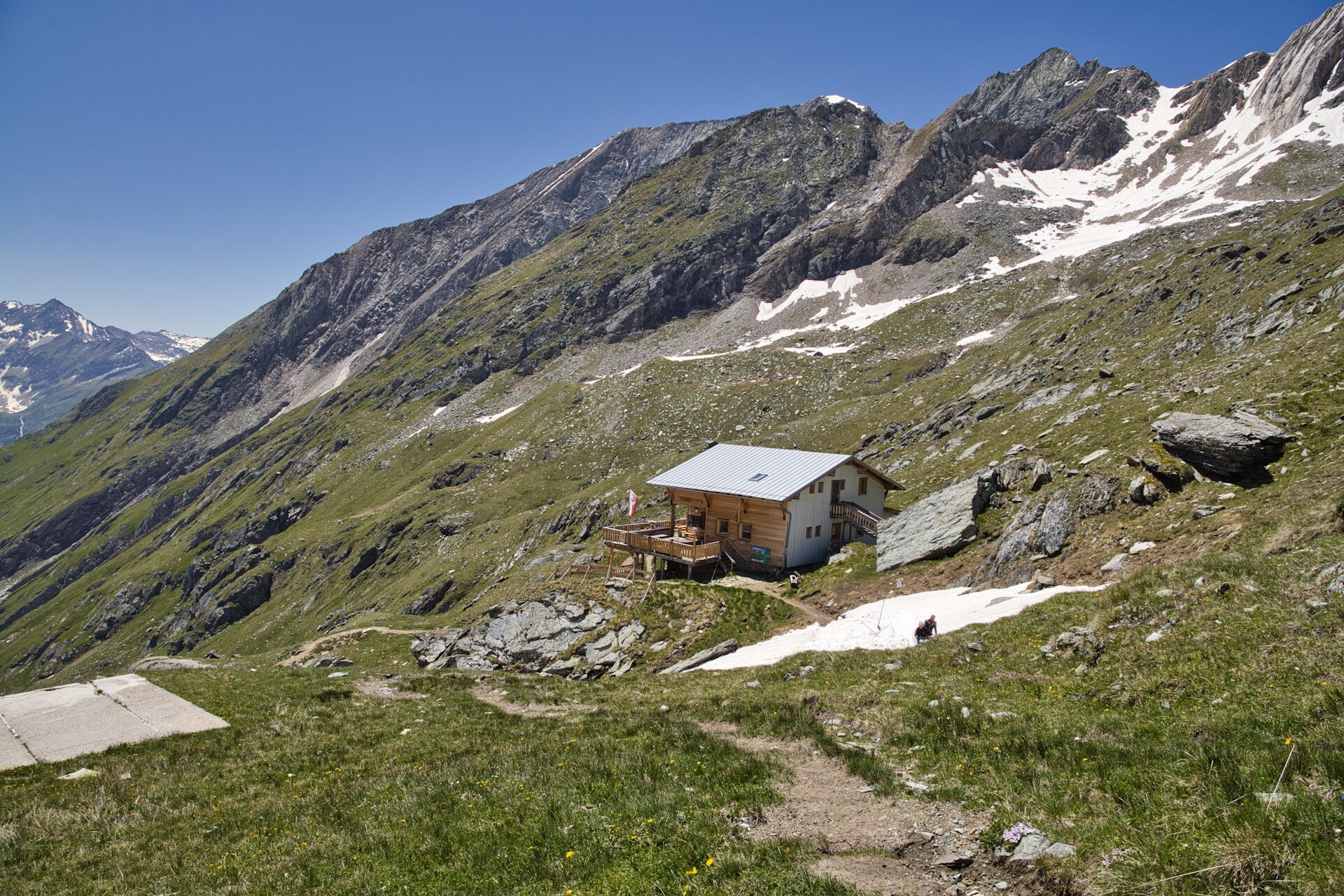
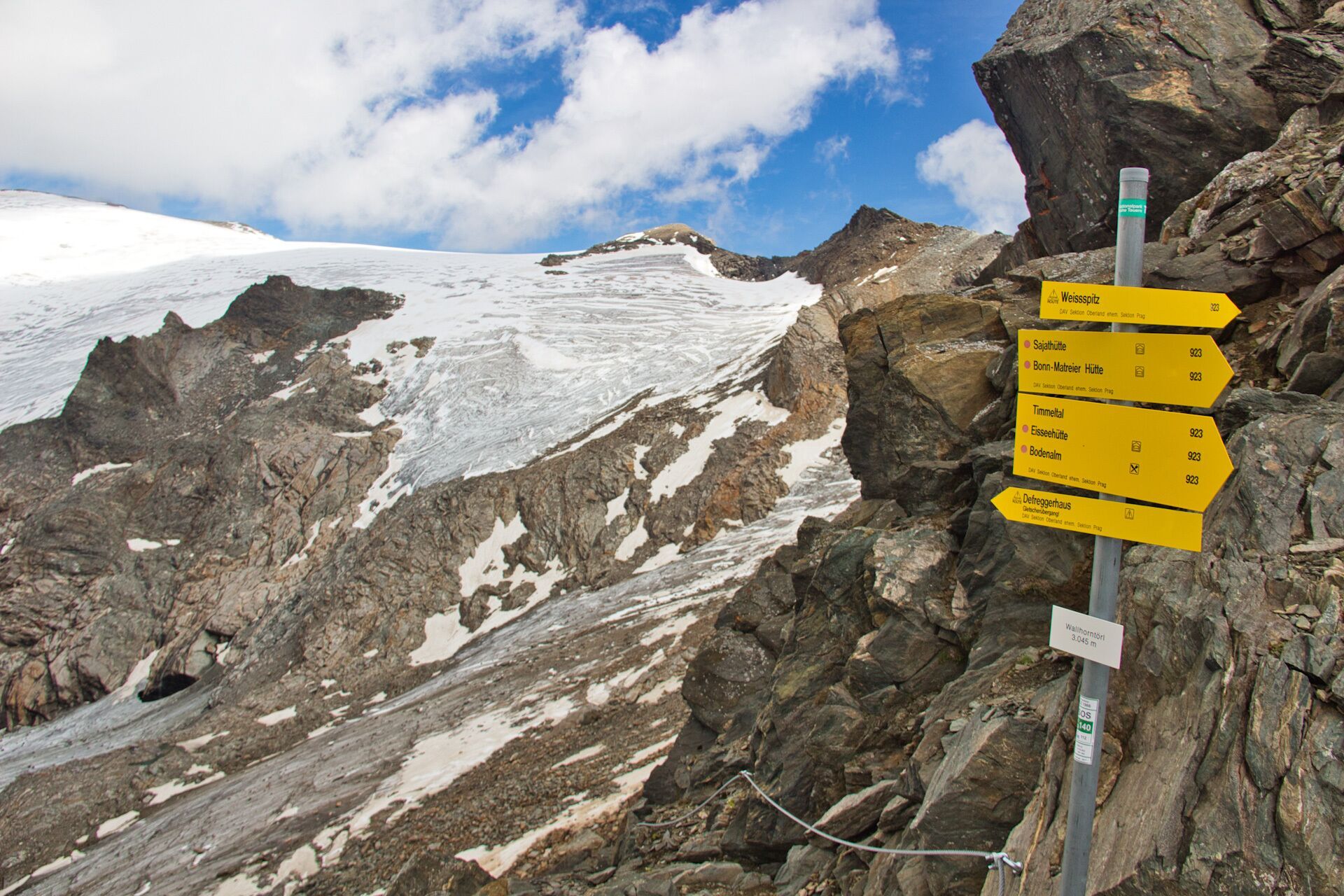
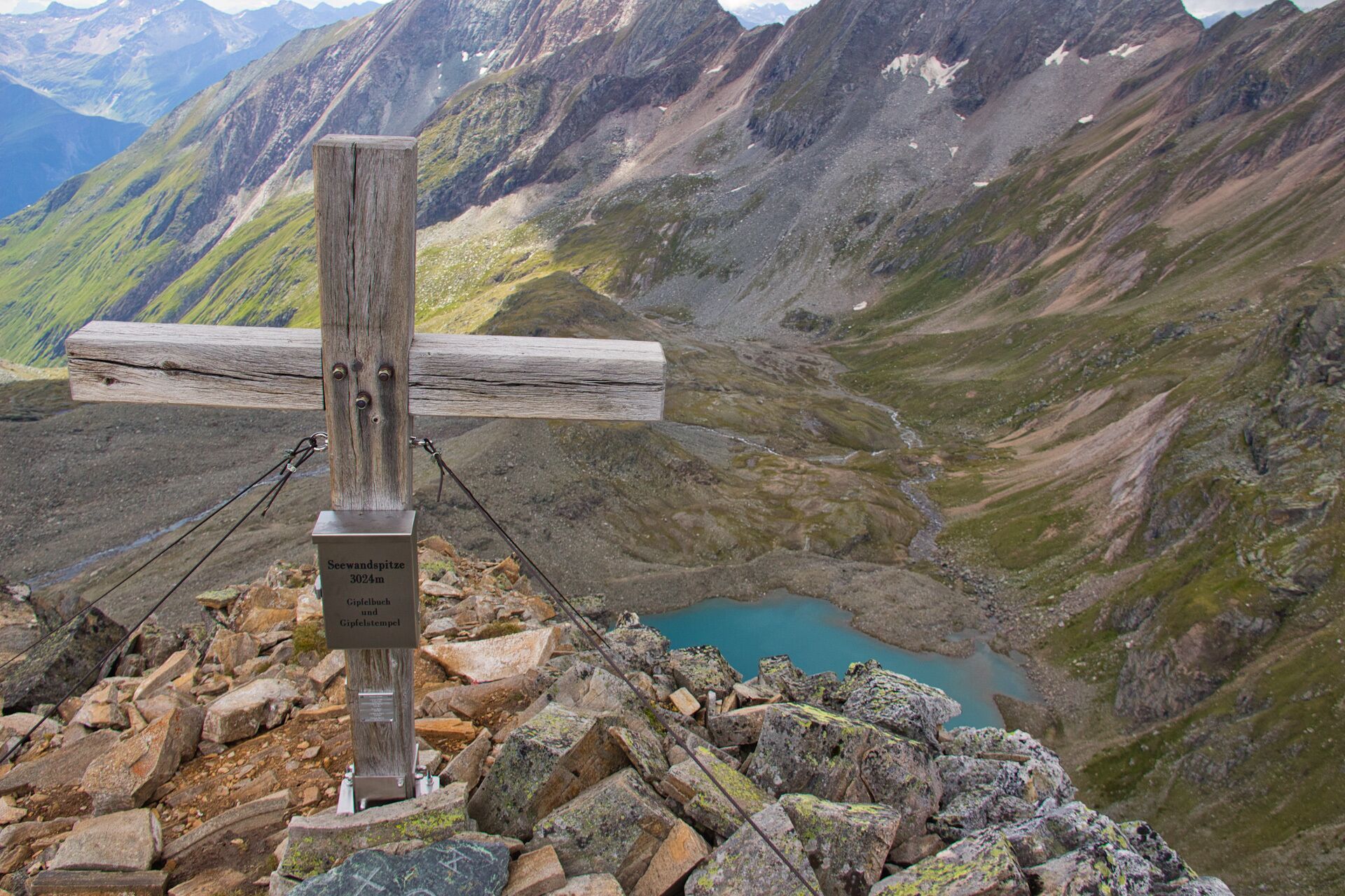
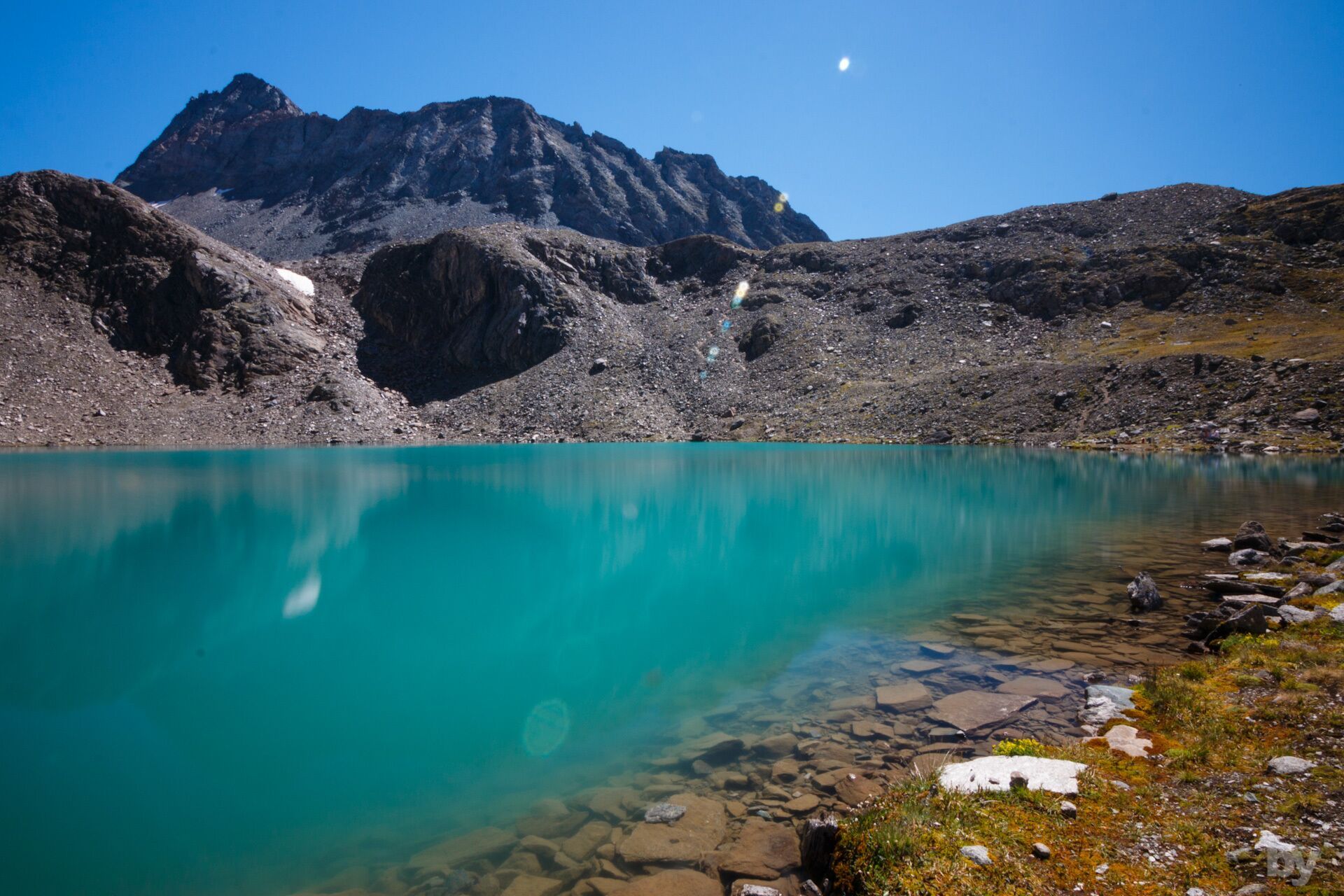
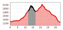
Immerse yourself in a wonderful, natural mountain world on the High Alpine Pilgrimage Trail in Prägraten a.G.. Past blooming Alpine meadows up to the highest heights with breathtaking views - that's what the highest Way of the Cross in the Alps promises. There are 14 Stations of the Cross, 32 km and 2,800 meters of altitude to conquer (alternatively, there is also an easier version).
Prägraten a.G. Ströden
Parkplatz Ströden


.jpg")


