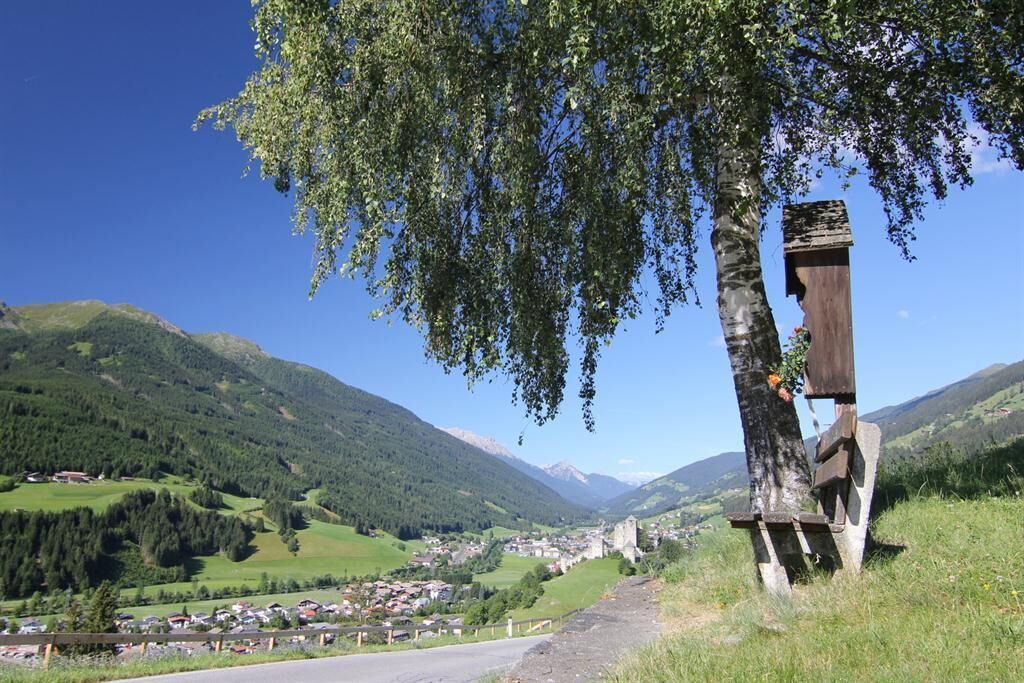
Open interactive mapOpen this POI on the interactive mapElevation profileJakobsweg - Osttirol Stages.gpx
Mountain lakes and a panoramic peak in a class of its own Difficulty:mediumLength:23.9 kmDuration:11:30 hElevation uphill:2,188 mSee trailSee trail: Mountain lakes and a panoramic peak in a class of its own
iseltrail-etappe2-feldner-katarakte-c-ramona-walder.jpg © TVB Osttirol/Waldner Ramona IseltrailDifficulty:mediumLength:75.3 kmDuration:24:30 hElevation uphill:2,347 mSee trailSee trail: Iseltrail
wandern-blickaufprossegg-c-desiree-dezordo.jpg © Desirèe De Zordo Trail Virgentaler SonnseitenwegDifficulty:mediumLength:41.9 kmDuration:19:00 hElevation uphill:2,641 mSee trailSee trail: Trail Virgentaler Sonnseitenweg
Peter Habeler RundeDifficulty:difficultLength:41.3 kmDuration:17:00 hElevation uphill:2,236 mSee trailSee trail: Peter Habeler Runde
Thierberg © TVB Kufsteinerland EUREGIO Marien-Weg-M7Difficulty:easyLength:50.8 kmDuration:15:20 hElevation uphill:984 mSee trailSee trail: EUREGIO Marien-Weg-M7
Schloss Bruck Lienz © TVBOsttirol Walter Mair Trail Lienzer TalbodenDifficulty:easyLength:48.0 kmDuration:15:40 hElevation uphill:1,280 mSee trailSee trail: Walter Mair Trail Lienzer Talboden
glocknerkrone-etappe-2-blickaufgrossglockner-hintere-ochsenalm-c-peter-maier-496.jpg © Peter Maier Glockner CrownDifficulty:mediumLength:64.2 kmDuration:31:00 hElevation uphill:4,104 mSee trailSee trail: Glockner Crown
Hoch und Heilig Etappe 7 Virgen Lasörlinghütte_TVB Osttirol_Peter Maier_Virgen in Osttirol.jpg © Peter Maier Lasörling trekDifficulty:mediumLength:32.5 kmDuration:15:00 hElevation uphill:2,562 mSee trailSee trail: Lasörling trek
Knappentreck4 © TVB Defereggental Miners trekDifficulty:mediumLength:23.1 kmSee trailSee trail: Miners trek
Wangenitzsee © C. Isep Schober trekDifficulty:mediumLength:32.9 kmDuration:30:00 hElevation uphill:3,262 mSee trailSee trail: Schober trek
Karlsbader Hütte © TVB Der Große TörlwegDifficulty:mediumLength:29.5 kmDuration:22:30 hElevation uphill:3,558 mSee trailSee trail: Der Große Törlweg
Adlerweg Logo © TVB Osttirol Adlerweg trail through OsttirolDifficulty:difficultLength:93.3 kmElevation uphill:7,101 mSee trailSee trail: Adlerweg trail through Osttirol
wanderung-grosser-zunig-wokenmeer-c-bernhard-assmair.jpg © Bernhard Aßmair Lasörling altitude trailDifficulty:mediumLength:55.4 kmDuration:25:00 hElevation uphill:3,718 mSee trailSee trail: Lasörling altitude trail
loebbentoerl-schlatenkees-sommer-2024-c-bernhard-assmair.JPG © Bernhard Aßmair Venediger altitude trailDifficulty:difficultLength:55.5 kmDuration:27:00 hElevation uphill:3,975 mSee trailSee trail: Venediger altitude trail
Durchs Karwendeltal aufs Karwendelhaus - Scharnitz © Region Seefeld, Miriam Mayer Karwendelmarsch 52 kmDifficulty:mediumLength:53.5 kmDuration:19:00 hElevation uphill:2,180 mSee trailSee trail: Karwendelmarsch 52 km
hintere-ochsenalm-blick-lapawitzkees-glocknergruppe-c-eva-oberhauser.jpg © Eva Oberhauser Großglockner trekDifficulty:difficultLength:86.1 kmElevation uphill:7,209 mSee trailSee trail: Großglockner trek
Gschnitztaler Hüttenstern ALPSOLUTpictures (115).jpg © Johannes Mair // ALPSOLUT Pictures Gschnitztaler HüttensternDifficulty:mediumLength:10.8 kmDuration:4:14 hElevation uphill:538 mSee trailSee trail: Gschnitztaler Hüttenstern
Lechtal, Lechtaler Höhenweg, Steinsee_Tirol Werbung_Schels Sebastian_No location given (4) © Tirol Werbung | Sebastian Schels Lechtaler HöhenwegDifficulty:difficultLength:84.5 kmDuration:45:00 hElevation uphill:6,773 mSee trailSee trail: Lechtaler Höhenweg
KarwendeltourDifficulty:mediumLength:41.0 kmDuration:15:50 hElevation uphill:1,875 mSee trailSee trail: Karwendeltour
Dürrenberg © Rene Paulweber / Fotostudio Rene Circular Route Around the Valley Basin | 3-Day Hiking TourDifficulty:mediumLength:32.0 kmDuration:15:00 hElevation uphill:2,459 mSee trailSee trail: Circular Route Around the Valley Basin | 3-Day Hiking Tour
Arlberg_Marketing_Arlbergtrail_WEST © West Werbeagentur GmbH Arlberg TrailDifficulty:difficultLength:52.1 kmElevation uphill:4,730 mSee trailSee trail: Arlberg Trail
Aussichtsplattform Steinweg © Gabriele Grießenböck 3-day Family Tour AlpbachtalDifficulty:easyLength:18.3 kmDuration:7:00 hElevation uphill:998 mSee trailSee trail: 3-day Family Tour Alpbachtal
Zireiner See Abendstimmung © Thomas Kargl 4 days - 4 summits tourDifficulty:mediumLength:54.4 kmDuration:23:00 hElevation uphill:3,408 mSee trailSee trail: 4 days - 4 summits tour
Panorama Südseite_Wilder Kaiser © TVB Wilder Kaiser/Mathäus Gartner Kaiserkrone - around the Wilder Kaiser in 5 daysDifficulty:mediumLength:57.7 kmDuration:27:00 hElevation uphill:4,000 mSee trailSee trail: Kaiserkrone - around the Wilder Kaiser in 5 days
Give feedback for a chance to win a special holiday experience!Click here for the surveyClick here for the survey


.jpg")
")


