

Place:Virgen
:Alpine pasture / hut / mountain restaurant
In 3 days through the picturesque mountain landscape of the Lasörling Group
Basic equipmentformountainhikingincludessturdy hiking bootswith a goodtread, a 30-35 literbackpack, and functionalclothingbased on thelayeringprinciple, includingsufficient spare clothes. Essential itemsare rain, cold, and sunprotection, adequatefluids and food, aswellas a first-aid kit and a charged mobile phone. A mapor a GPS devicesupportsorientation.
The informationservesas a guideline and does not claimtobe exhaustive. Equipment mustalwaysbeadaptedtothe planned route, weatherconditions, season, naturalhazards, environmental influences, and personal needs.
Stage 1
The hike starts in St. Jakob / Außerberg. You will hike through the unique and charming mountainous region of the dark rocky summit, light bodies of water and very colourful mountain flora. On your climb over the sunny side, you will be accompanied by the view of the tall mountains of Lasörling group. A former mining site is located to your north which also offers you a detour to the miners’ houses. The journey to the Neue Reichenberger hut then continues over the flat Höhenweg high above the Trojer mountain pastures. After having a refreshment here, you will be given the opportunity to climb the Hüttenberg, the towering Gösleswand (2,913 m)
Overnight accommodation: Neue Reichenbergerhütte
Stage 2
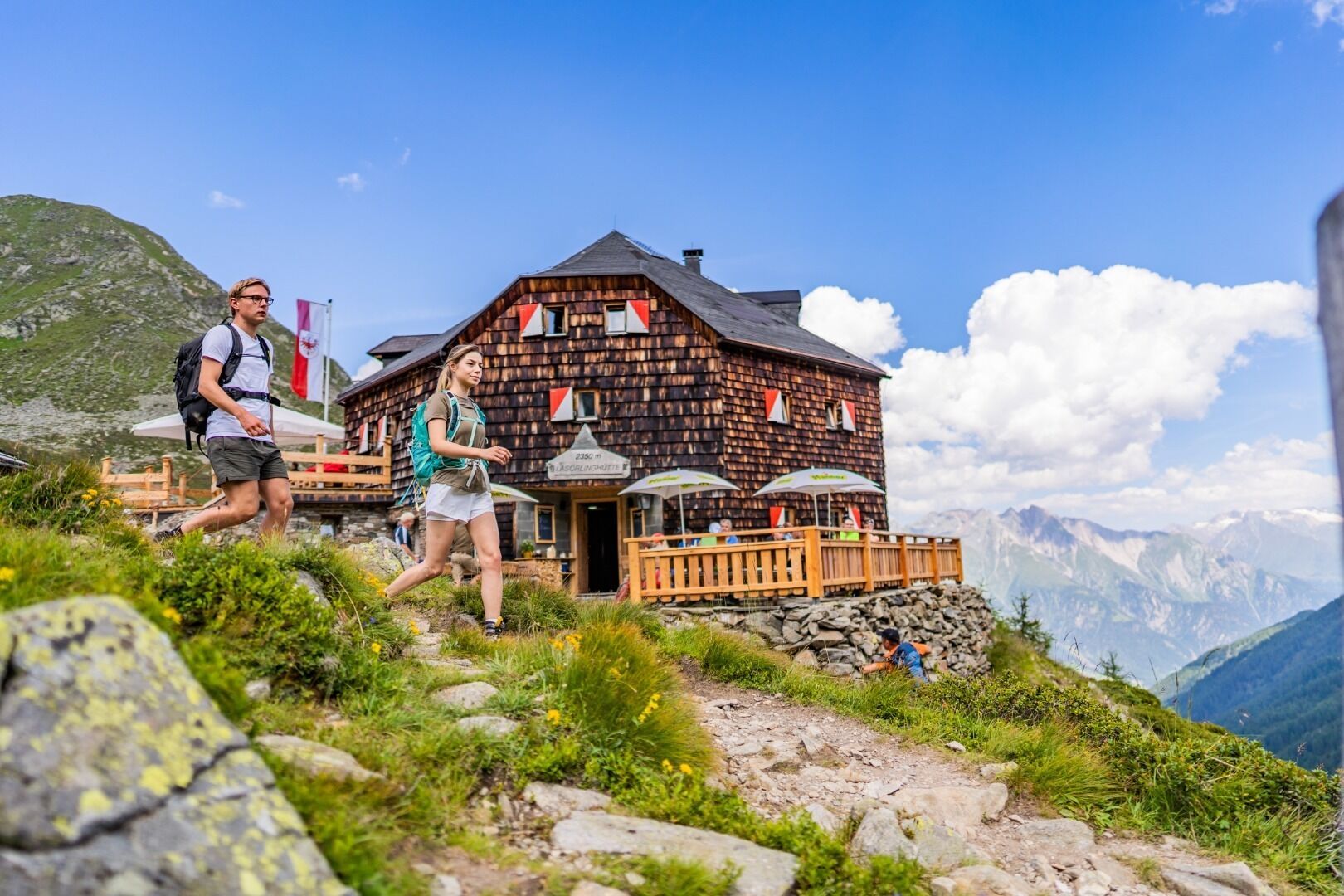
We will continue across the Rote Lenke, the Kleinbachboden and Prägarter Törl to Lasörling hut. The descent from the Rote Lenke takes you through a wild, rugged area with large boulders to Kleinbachboden and then back up to Prägarter Törl. You can decide whether you are still fit enough to climb the Lasörling (3,098 m) or whether you will climb immediately back down to Lasörling hut. If you dare to conquer the summit, you will be rewarded for the arduous climb with a breathtaking view of the whole of Hohe Tauern. After the descent across Glaurit, you will reach the end of today’s route, the Lasörling hut.
Overnight accommodation: Lasörlinghütte
Stage 3
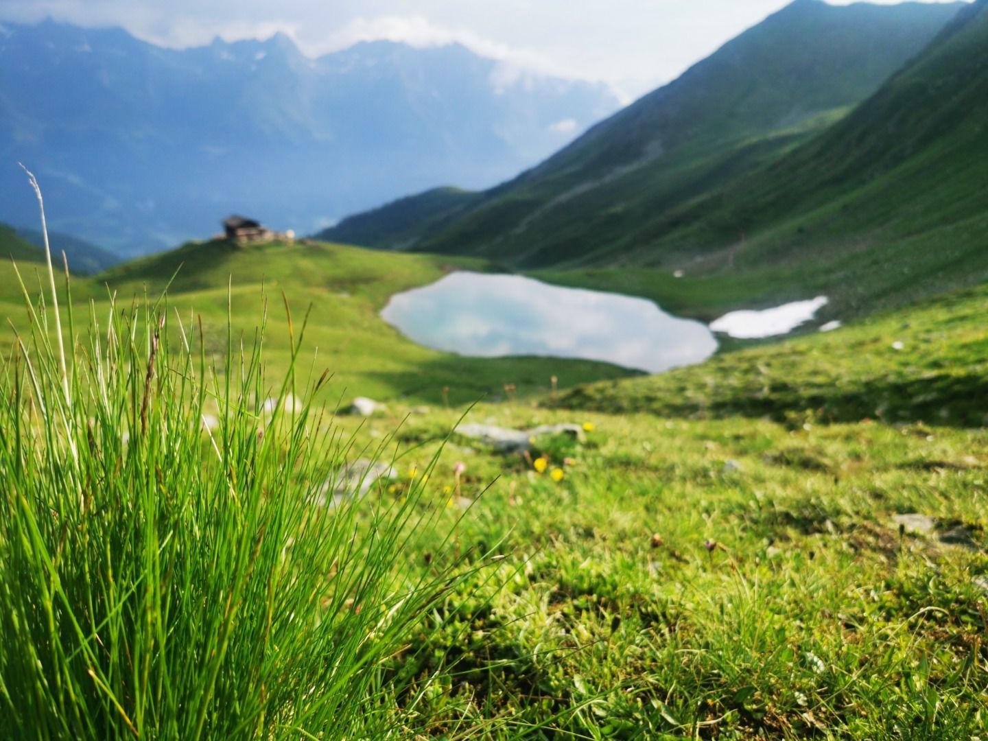
The last stage of the tour will take you back to the heights. You will hike past the Gumpenlacke before reaching the Speikboden above Steinkastal. The view is magnificent: you can gaze out over the Defereggen valley to the lime giants of the Dolomites to the south and look out at the mighty, glaciated mountain peaks of the Venediger group over the Virgen valley to the north.
The hike takes you on to Kamm along Donnerstein to Griften. Below you will notice the Zupalsee hut which you will also climb down to. After the last section from the Zupalsee hut to Wetterkreuz hut, you can take a taxi for the journey into Virgen valley.
Bushaltestelle St. Jakob i. D. Gemeindeamt
Von St. Jakob in Defereggen über die Serpentinenstraße in den Ortsteil Außerberg.
Parkplatz Trojertal


