Multi-day hikes Carnic altitude trail

Arnbach / Carnic Main Crest
Difficulty ratings: medium
Route length: 160.0 km
Duration: 71:00 h

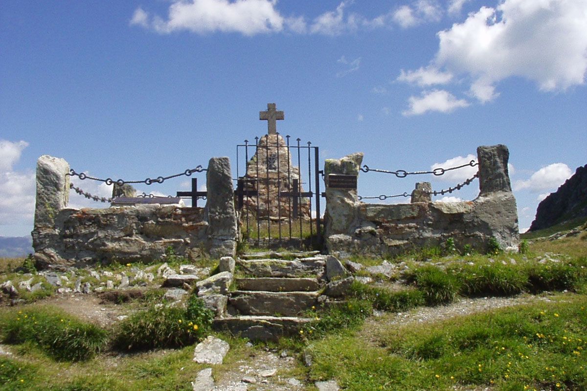
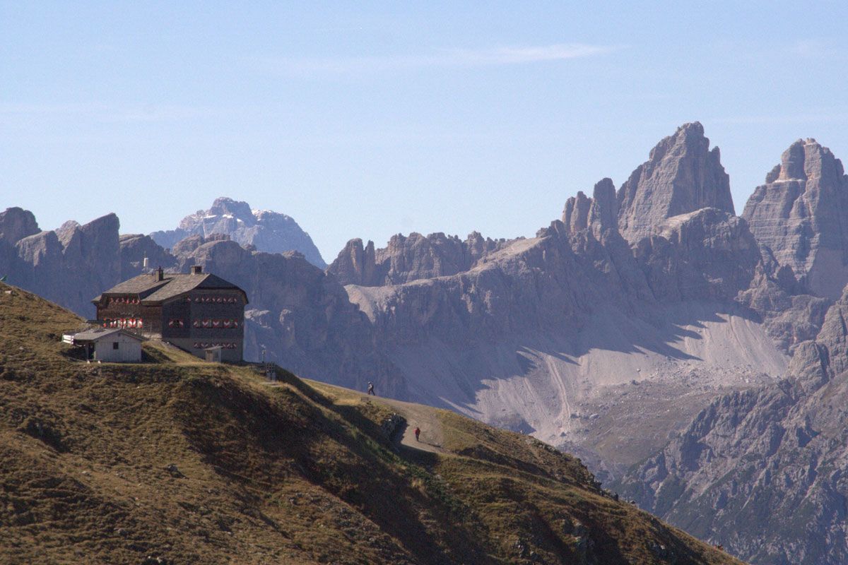
A long-distance hike through history, after all, the Carnic Alta Via, also known as the Peace Trail, leads along the former front line of the First World War. From today's perspective, the border region between Austria and Italy stands out with its impressive panorama of the Dolomites. On top of this, 30 hiking peaks beckon, which we can take with us virtually "to-go".

Tour character

This difficult long-distance circular tour requires alpine experience as well as surefootedness and a very good level of fitness for the sometimes very long stages. Concentration is required and a good walking technique for all types of climbing that are possible in alpine terrain: Rock, gravel, steep, sloping meadow paths.
Tour information

  • Requirement: medium
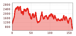
  • Length: 160.0 km
  • Duration: 71:00 h
  • Elevation uphill:9,499 hm
  • Elevation downhill:9,950 hm
Highest point2,678 m

Starting point

Dorfzentrum Sillian
  • Fitness level 4 / 6
  • Technique 4 / 6

Best time of year

  • January
  • February
  • March
  • April
  • May
  • June
  • July
  • August
  • September
  • October
  • November
  • December
Source: TVB Osttirol

Description

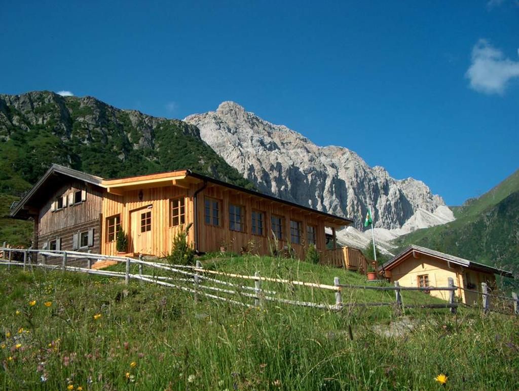
The Carnic altitude trail follows the 110 km Carnic main ridge, west to east and covers 155 km in total. The trail (also abbreviated to KHW 403) can be tackled in 6 to 9 day stages (walking times of between 3.5 and 9 hours), ideal for groups of hikers and families. Overnight stays available in the Alpine association lodges.Can be tackled as singular day tours.

(c) 2015 Wegdaten Openstreetmap Mitwirkende

Getting here

  • Arrival by public transport

    Mit dem Bus bis zur Haltestelle "Sillian Marktplatz"

  • Parking

    Parkplatz beim Elektrogeschäft Aichner

More long-distance hiking trails

  • Karwendel tour

    Difficulty:difficult
    Length:44.2 kmDuration:24:00 hElevation uphill:3,955 m
  • KAT Walk: Three Valleys Hike

    Difficulty:medium
    Length:69.0 kmDuration:30:00 hElevation uphill:3,684 m
  • Glockner Crown

    Difficulty:medium
    Length:64.2 kmDuration:31:00 hElevation uphill:4,104 m
  • Tiroler Pilgerweg

    Difficulty:medium
    Length:220.0 kmElevation uphill:1,840 m
  • Tiroler Burgenweg

    Difficulty:medium
    Length:63.0 kmDuration:25:00 hElevation uphill:2,228 m
  • KAT WALK FAMILY

    Difficulty:medium
    Length:52.5 kmElevation uphill:3,390 m
  • KAT WALK COMPACT

    Difficulty:medium
    Length:83.0 kmDuration:36:45 hElevation uphill:5,462 m
  • Talweg Matrei i. O.

    Difficulty:medium
    Length:15.3 kmDuration:4:50 hElevation uphill:397 m
  • Gschnitztaler Hüttenstern

    Difficulty:medium
    Length:10.8 kmDuration:4:14 hElevation uphill:538 m
  • Lechtaler Höhenweg

    Difficulty:difficult
    Length:84.5 kmDuration:45:00 hElevation uphill:6,773 m
  • Eagle Walk Tirol

    Difficulty:difficult
    Length:426.0 kmElevation uphill:30,000 m
  • KAT WALK ALPINE

    Difficulty:medium
    Length:113.0 kmDuration:45:00 hElevation uphill:6,300 m
  • Gschnitztaler Hüttenstern

    Difficulty:medium
    Length:82.1 kmDuration:4:00 hElevation uphill:5,503 m
  • 2TälerTrail

    Difficulty:medium
    Length:92.0 kmDuration:41:30 hElevation uphill:5,550 m
  • 3-Tages-Tour Wilder

    Difficulty:difficult
    Length:11.0 kmDuration:4:51 hElevation uphill:1,122 m
Newsletter

The mountain is calling? So does our newsletter!

In our monthly newsletter we reveal the best holiday tips for Tyrol.