Mountain hikes Koasa Trail

Kirchdorf in Tirol / Kaiser Mountains
Difficulty ratings: medium
Route length: 83.0 km
Duration: 5 days

The mysterious side of the Wilder Kaiser

Tour information

  • Requirement: medium
  • Length: 83.0 km
  • Duration: 6 days
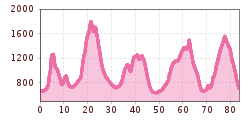
  • Elevation uphill:4,700 hm
  • Elevation downhill:4,600 hm
Highest point1,800 m

Starting point

St. Johann in Tirol - Tourist office

Finishing point

Oberndorf - Wiesenschwang
  • Fitness level 5 / 6
  • Technique 3 / 6

Features

  • Circular route

Best time of year

  • January
  • February
  • March
  • April
  • May
  • June
  • July
  • August
  • September
  • October
  • November
  • December

Trail condition

Asphalt, gravel, forest path, rooted paths, rocky partially exposed trails

Equipment

  • Outdoor clothing
  • sturdy shoes
  • Sufficient food and drinks
  • First aid kit
  • Cell phone with full battery & charger
  • Hiking map & guide literature
  • If necessary, load a GPS device or the GPS data onto your cell phone
  • Sun protection (sunglasses, sunscreen, cap)
  • Rain protection
  • Cash
Source: Kitzbüheler Alpen Management GmbH

Description

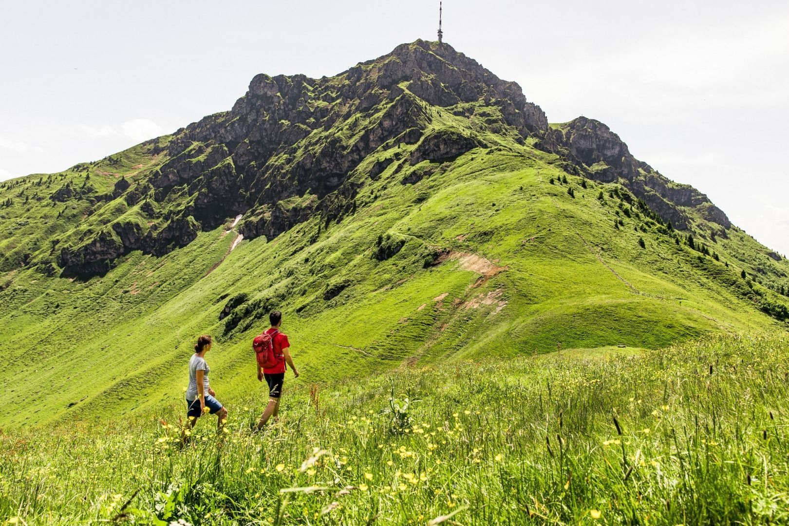
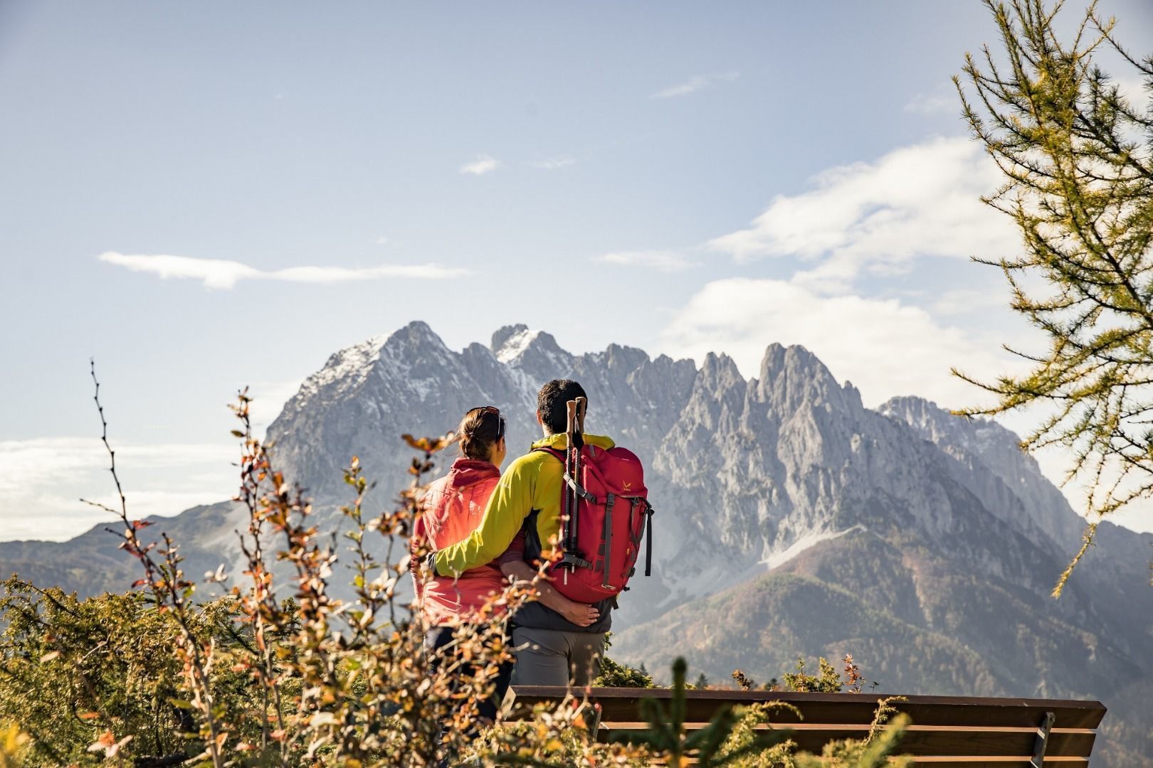
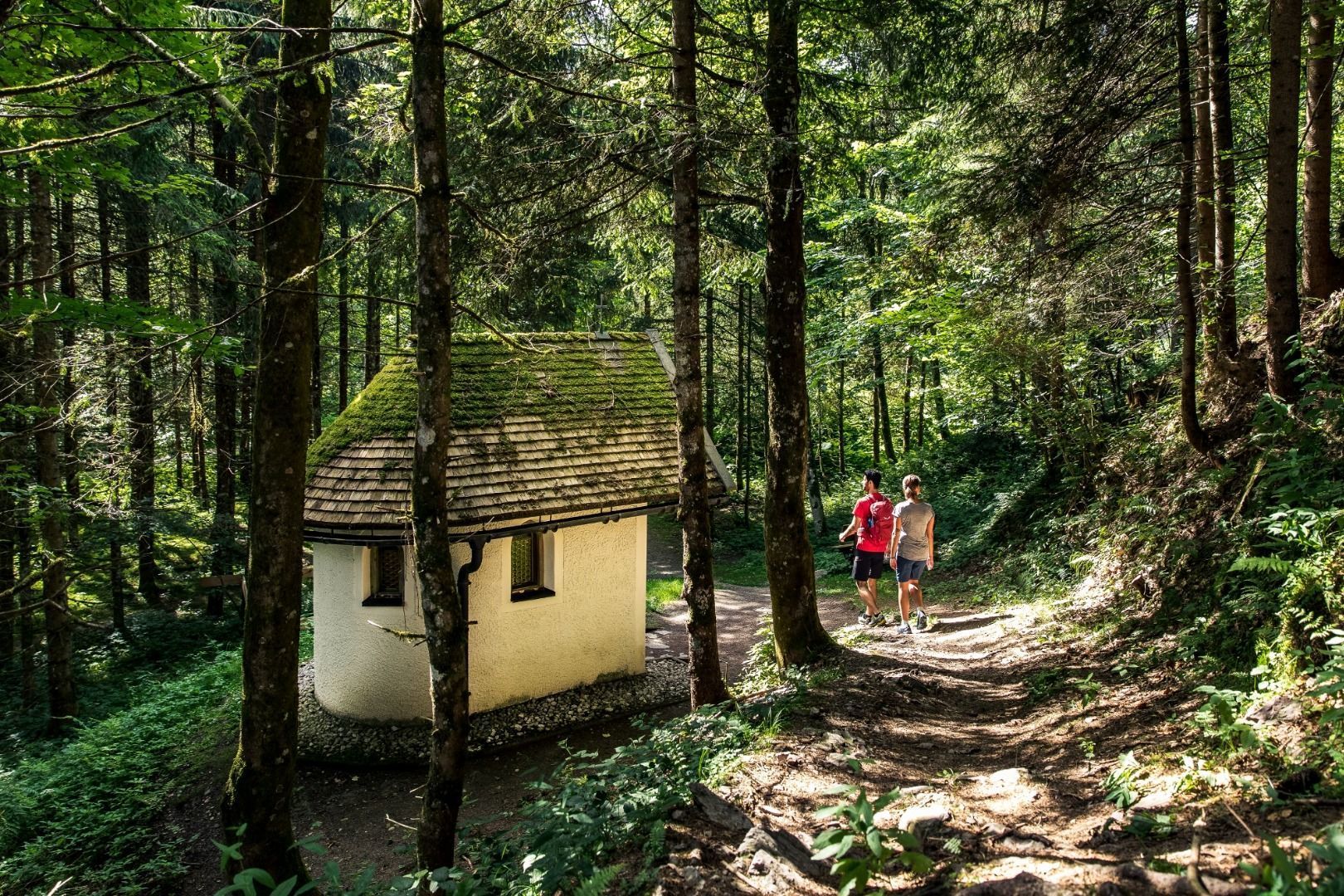
“You are the crown above a blessed and beautiful spot on Tyrolean soil”. These are the words once used by author Fritz Schmitt to describe the Koasa, as the Wilder Kaiser is known by locals, in his book ‘Das Buch vom Wilden Kaiser’. This long-distance footpath is dedicated to this crown, the Koasa. Every stage of the Koasa Trail guarantees different views of one of the most imposing mountain massifs in the Easter Alps. You can walk through this blessed and beautiful spot on Tyrolean soil and explore the many facets of the landscape. The individual tours enable you to explore the special natural settings of our region. Every day reveals a new highlight such as the Maria Blut hermitage, the Gmailkapelle church on the Niederkaiserkamm ridge, the impressive northern walls of the picturesque Kaiserbachtal valley, the inscriptions and symbols on the walls of the mysterious Teufelsgasse or the interplay of water in the romantic Griesbachklamm gorge.

Getting here

  • Arrival by public transport

    Bus: Line 4000, 4012, 4060, 8301 stop St. Johann in Tirol Bahnhof
    Train: 201 Giselabahn St. Johann in Tirol station

    June to October: Okto Wanderbus from Monday - Friday kitzalps.cc/mobile
     

  • Parking

    Public parking spaces: St. Johann in Tirol Steinlechnerplatz (Dampflfeld 4, chargeable, multi-day parking); Koasa Stadium (Salzburgerstraße 15, free of charge); Almdorf (cemetery, free of charge, multi-day parking);
    Underground parking lot: Klausnerpark (Brauweg 3, chargeable, multi-day parking possible)

Weather

Today

clear sky
25°C/9°C
0%0l5 km/h

Wed

light rain showers
24°C/10°C
90%29.6l5 km/h

Thu

light rain
18°C/11°C
80%5.4l5 km/h
Go to weather forecast

More long-distance hiking trails

  • Karwendel High Trail

    Difficulty:difficult
    Length:70.0 kmDuration:27:30 hElevation uphill:4,470 m
  • KAT WALK FAMILY

    Difficulty:medium
    Length:52.5 kmElevation uphill:3,390 m
  • KAT WALK COMPACT

    Difficulty:medium
    Length:83.0 kmDuration:36:45 hElevation uphill:5,462 m
  • Hoch Tirol Trail

    Difficulty:difficult
    Length:28.9 kmDuration:12:30 hElevation uphill:1,519 m
  • Lechweg

    Difficulty:medium
    Length:125.0 kmDuration:40:00 hElevation uphill:3,021 m
  • 3-day hut tour Wilder Kaiser

    Difficulty:difficult
    Length:24.6 kmDuration:14:00 hElevation uphill:2,060 m
  • EUREGIO-Maria-Weg-M5

    Difficulty:easy
    Length:166.6 kmDuration:46:16 hElevation uphill:2,971 m
  • Glockner Crown

    Difficulty:medium
    Length:64.2 kmDuration:31:00 hElevation uphill:4,104 m
  • Lechtaler Höhenweg

    Difficulty:difficult
    Length:84.5 kmDuration:45:00 hElevation uphill:6,773 m
  • Arlberg Trail

    Difficulty:difficult
    Length:52.1 kmElevation uphill:4,730 m
  • Schober trek

    Difficulty:medium
    Length:32.9 kmDuration:30:00 hElevation uphill:3,262 m
  • Der Große Törlweg

    Difficulty:medium
    Length:29.5 kmDuration:22:30 hElevation uphill:3,558 m
  • Two day tour - Höhenweg Zahmer Kaiser

    Opening hours:open
    Difficulty:medium
    Length:30.0 kmDuration:13:15 hElevation uphill:2,100 m
  • Iseltrail

    Difficulty:medium
    Length:75.3 kmDuration:24:30 hElevation uphill:2,347 m
  • Two days tour Wilder Kaiser

    Difficulty:difficult
    Length:42.5 kmDuration:15:57 hElevation uphill:2,475 m
Newsletter

The mountain is calling? So does our newsletter!

In our monthly newsletter we reveal the best holiday tips for Tyrol.